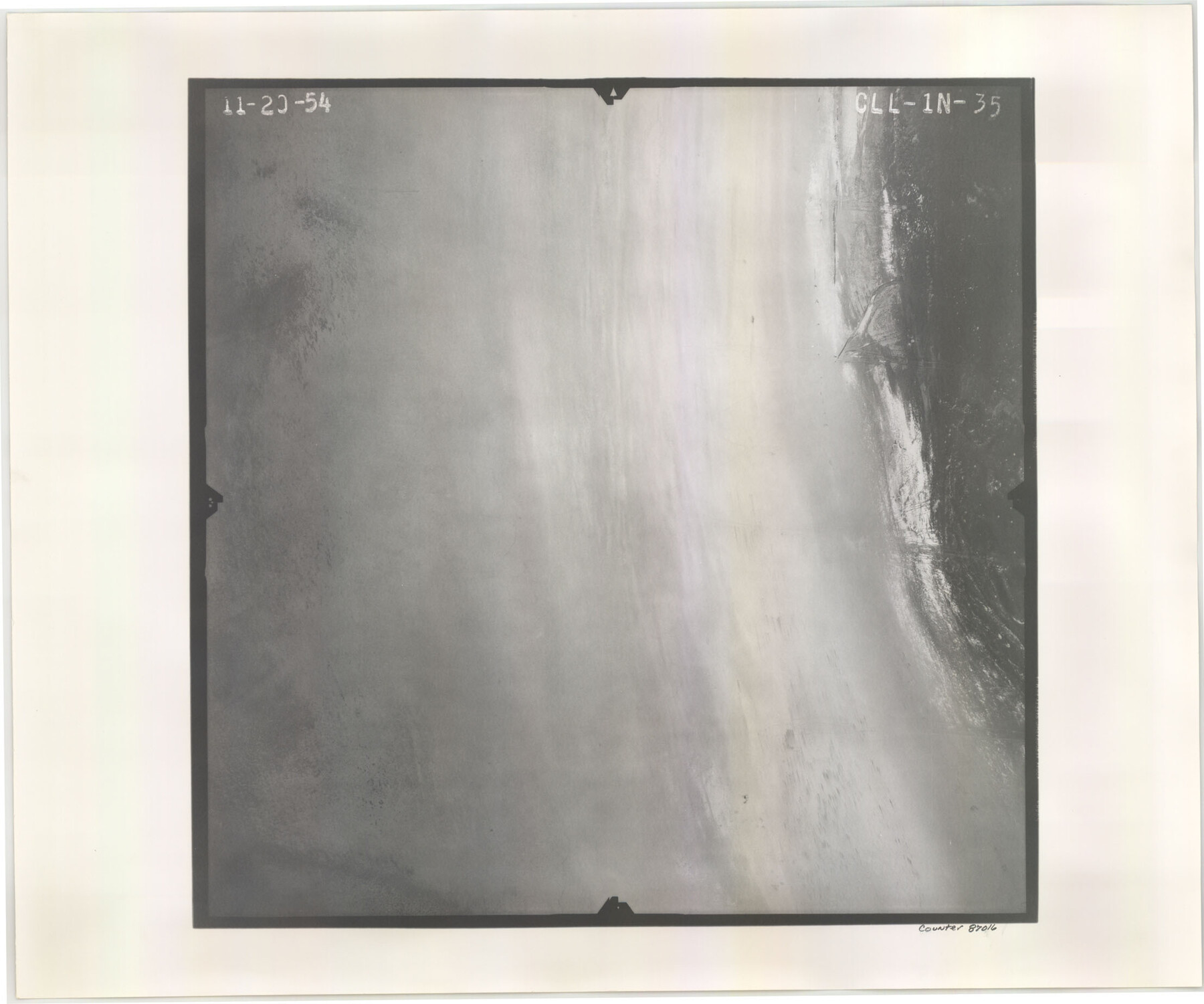
Flight Mission No. CLL-1N, Frame 35, Willacy County
CLL-1N-35
- 
                          Map/Doc87016
- 
                            CollectionGeneral Map Collection
- 
                            Object Dates1954/11/20 (Creation Date)
- 
                            People and OrganizationsU. S. Department of Agriculture (Publisher)
- 
                            CountiesWillacy
- 
                            SubjectsAerial Photograph
- 
                            Height x Width18.5 x 22.1 inches47.0 x 56.1 cm
- 
                            CommentsFlown by Puckett Aerial Surveys, Inc. of Jackson, Mississippi.
Part of: General Map Collection
            Matagorda County Working Sketch 4


                                            Print $20.00                    
                                             -                         Digital $50.00                                    
                Matagorda County Working Sketch 4
1908
Size 33.1 x 32.0 inches
                                Map/Doc 70862
            
            Rusk County Working Sketch 9


                                            Print $20.00                    
                                             -                         Digital $50.00                                    
                Rusk County Working Sketch 9
1981
Size 28.3 x 32.3 inches
                                Map/Doc 63644
            
            Burnet County Sketch File 17


                                            Print $6.00                    
                                             -                         Digital $50.00                                    
                Burnet County Sketch File 17
Size 12.4 x 10.1 inches
                                Map/Doc 16706
            
            Supreme Court of the United States, October Term, 1923, No. 15, Original - The State of Oklahoma, Complainant vs. The State of Texas, Defendant, The United States, Intervener; Report of the Boundary Commissioners


                                            Print $20.00                    
                                             -                         Digital $50.00                                    
                Supreme Court of the United States, October Term, 1923, No. 15, Original - The State of Oklahoma, Complainant vs. The State of Texas, Defendant, The United States, Intervener; Report of the Boundary Commissioners
1923
Size 39.4 x 39.6 inches
                                Map/Doc 75116
            
            Chambers County Sketch File 28


                                            Print $20.00                    
                                             -                         Digital $50.00                                    
                Chambers County Sketch File 28
1934
Size 26.0 x 19.2 inches
                                Map/Doc 11067
            
            Freestone County Working Sketch 16


                                            Print $20.00                    
                                             -                         Digital $50.00                                    
                Freestone County Working Sketch 16
1980
Size 47.1 x 39.7 inches
                                Map/Doc 69258
            
            [F. W. & D. C. Ry. Co. Alignment and Right of Way Map, Clay County]
            
                                    ![64746, [F. W. & D. C. Ry. Co. Alignment and Right of Way Map, Clay County], General Map Collection](https://historictexasmaps.com/wmedia_w700/maps/64746-GC.tif.jpg) 


    ![64746, [F. W. & D. C. Ry. Co. Alignment and Right of Way Map, Clay County], General Map Collection](https://historictexasmaps.com/wmedia_w700/maps/64746-GC.tif.jpg) 
                                
            
                                            Print $20.00                    
                                             -                         Digital $50.00                                    
                [F. W. & D. C. Ry. Co. Alignment and Right of Way Map, Clay County]
1927
Size 18.7 x 11.9 inches
                                Map/Doc 64746
            
            Flight Mission No. BRE-1P, Frame 5, Nueces County


                                            Print $20.00                    
                                             -                         Digital $50.00                                    
                Flight Mission No. BRE-1P, Frame 5, Nueces County
1956
Size 18.3 x 22.1 inches
                                Map/Doc 86613
            
            Current Miscellaneous File 71


                                            Print $8.00                    
                                             -                         Digital $50.00                                    
                Current Miscellaneous File 71
Size 11.2 x 8.8 inches
                                Map/Doc 74155
            
            Aransas County Rolled Sketch 11


                                            Print $20.00                    
                                             -                         Digital $50.00                                    
                Aransas County Rolled Sketch 11
Size 42.0 x 36.4 inches
                                Map/Doc 8410
            
            Fannin County Sketch File 11


                                            Print $6.00                    
                                             -                         Digital $50.00                                    
                Fannin County Sketch File 11
1860
Size 9.9 x 7.4 inches
                                Map/Doc 22457
            
            Flight Mission No. BQR-9K, Frame 47, Brazoria County


                                            Print $20.00                    
                                             -                         Digital $50.00                                    
                Flight Mission No. BQR-9K, Frame 47, Brazoria County
1952
Size 18.7 x 22.4 inches
                                Map/Doc 84051
            You may also like
            Hutchinson County Working Sketch Graphic Index - sheet 1


                                            Print $20.00                    
                                             -                         Digital $50.00                                    
                Hutchinson County Working Sketch Graphic Index - sheet 1
1922
Size 44.1 x 36.8 inches
                                Map/Doc 76586
            
            Grayson County Working Sketch 12


                                            Print $20.00                    
                                             -                         Digital $50.00                                    
                Grayson County Working Sketch 12
1951
Size 25.7 x 24.0 inches
                                Map/Doc 63251
            
            Sketch showing recent surveys of State School Land adjoining Capitol Leagues No. 357 1/2, 367, 373 and 374 corrected out of conflict


                                            Print $2.00                    
                                             -                         Digital $50.00                                    
                Sketch showing recent surveys of State School Land adjoining Capitol Leagues No. 357 1/2, 367, 373 and 374 corrected out of conflict
1905
Size 7.4 x 10.5 inches
                                Map/Doc 90533
            
            Hardin County Rolled Sketch 15


                                            Print $20.00                    
                                             -                         Digital $50.00                                    
                Hardin County Rolled Sketch 15
1938
Size 30.9 x 23.7 inches
                                Map/Doc 6084
            
            The United States


                                            Print $20.00                    
                                             -                         Digital $50.00                                    
                The United States
1907
Size 21.1 x 28.3 inches
                                Map/Doc 95859
            
            Concho County Sketch File 31


                                            Print $30.00                    
                                             -                         Digital $50.00                                    
                Concho County Sketch File 31
1911
Size 11.2 x 9.0 inches
                                Map/Doc 19175
            
            Floyd County Sketch File 27


                                            Print $6.00                    
                                             -                         Digital $50.00                                    
                Floyd County Sketch File 27
1900
Size 14.4 x 8.9 inches
                                Map/Doc 22789
            
            Refugio County Working Sketch 17


                                            Print $20.00                    
                                             -                         Digital $50.00                                    
                Refugio County Working Sketch 17
1980
Size 17.7 x 30.1 inches
                                Map/Doc 63526
            
            Sutton County Working Sketch 66


                                            Print $20.00                    
                                             -                         Digital $50.00                                    
                Sutton County Working Sketch 66
1972
Size 29.0 x 39.3 inches
                                Map/Doc 62409
            
            International Boundary Line in the Rio Grande delineated in accordance with the Treaty of 1970 - (1982/1983 Aerial Photographs)


            International Boundary Line in the Rio Grande delineated in accordance with the Treaty of 1970 - (1982/1983 Aerial Photographs)
1982
Map/Doc 74827
             
                             
                                