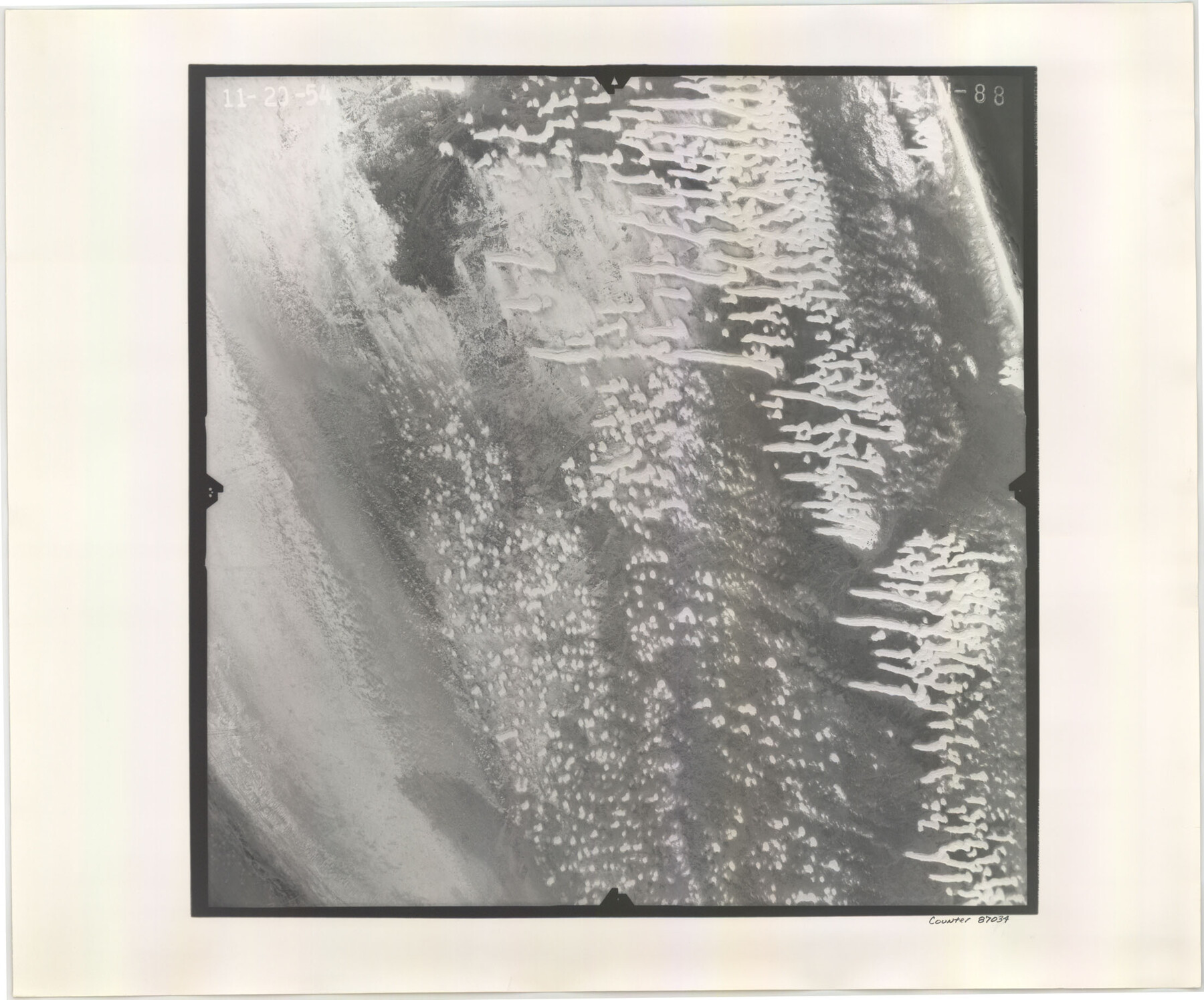
Flight Mission No. CLL-1N, Frame 88, Willacy County
CLL-1N-88
-
Map/Doc
87034
-
Collection
General Map Collection
-
Object Dates
1954/11/20 (Creation Date)
-
People and Organizations
U. S. Department of Agriculture (Publisher)
-
Counties
Willacy
-
Subjects
Aerial Photograph
-
Height x Width
18.4 x 22.1 inches
46.7 x 56.1 cm
-
Comments
Flown by Puckett Aerial Surveys, Inc. of Jackson, Mississippi.
Part of: General Map Collection
Flight Mission No. BQR-13K, Frame 160, Brazoria County

Print $20.00
- Digital $50.00
Flight Mission No. BQR-13K, Frame 160, Brazoria County
1952
Size 18.8 x 22.3 inches
Map/Doc 84085
[F. W. & D. C. Ry. Co. Alignment and Right of Way Map, Clay County]
![64727, [F. W. & D. C. Ry. Co. Alignment and Right of Way Map, Clay County], General Map Collection](https://historictexasmaps.com/wmedia_w700/maps/64727-1.tif.jpg)
Print $20.00
- Digital $50.00
[F. W. & D. C. Ry. Co. Alignment and Right of Way Map, Clay County]
1927
Size 18.6 x 11.7 inches
Map/Doc 64727
Culberson County Sketch File 43

Print $4.00
- Digital $50.00
Culberson County Sketch File 43
1931
Size 8.9 x 11.1 inches
Map/Doc 20329
Sabine River, Rocky Ford Crossing Sheet/Cowleach Fork of the Sabine River

Print $20.00
- Digital $50.00
Sabine River, Rocky Ford Crossing Sheet/Cowleach Fork of the Sabine River
1936
Size 38.9 x 29.2 inches
Map/Doc 65144
New Map of San Antonio, Texas

Print $20.00
- Digital $50.00
New Map of San Antonio, Texas
1920
Size 17.2 x 14.2 inches
Map/Doc 97156
Layout of the porciones as described in the Visita General of Laredo, 1767

Layout of the porciones as described in the Visita General of Laredo, 1767
2009
Size 11.0 x 8.5 inches
Map/Doc 94042
Dallas County Sketch File 18a

Print $20.00
- Digital $50.00
Dallas County Sketch File 18a
Size 12.4 x 23.8 inches
Map/Doc 11286
Leon County Rolled Sketch 26A

Print $20.00
- Digital $50.00
Leon County Rolled Sketch 26A
1988
Size 21.5 x 34.4 inches
Map/Doc 6611
Map of the Lower Rio Grande, accompanying report of the special committee on Texas frontier troubles, appointed by the House of Representatives, Jan. 6, 1876

Print $20.00
- Digital $50.00
Map of the Lower Rio Grande, accompanying report of the special committee on Texas frontier troubles, appointed by the House of Representatives, Jan. 6, 1876
1876
Size 12.1 x 17.6 inches
Map/Doc 95406
Armstrong County

Print $20.00
- Digital $50.00
Armstrong County
1933
Size 42.3 x 41.0 inches
Map/Doc 73071
Maverick County Working Sketch 16

Print $20.00
- Digital $50.00
Maverick County Working Sketch 16
1975
Size 38.1 x 27.6 inches
Map/Doc 70908
Young County Working Sketch 1

Print $20.00
- Digital $50.00
Young County Working Sketch 1
1960
Size 31.1 x 41.9 inches
Map/Doc 62024
You may also like
Old Miscellaneous File 27b

Print $10.00
- Digital $50.00
Old Miscellaneous File 27b
1880
Size 14.3 x 8.8 inches
Map/Doc 75722
Sketch of Crosby Co.

Print $20.00
- Digital $50.00
Sketch of Crosby Co.
1884
Size 14.8 x 12.5 inches
Map/Doc 506
Hudspeth County Sketch File 46

Print $20.00
- Digital $50.00
Hudspeth County Sketch File 46
1983
Size 17.5 x 14.0 inches
Map/Doc 27049
Midland County Working Sketch 32

Print $40.00
- Digital $50.00
Midland County Working Sketch 32
1971
Size 51.3 x 35.5 inches
Map/Doc 71013
Nueces County Rolled Sketch 83

Print $40.00
- Digital $50.00
Nueces County Rolled Sketch 83
1973
Size 20.1 x 48.7 inches
Map/Doc 9629
Flight Mission No. DQN-1K, Frame 83, Calhoun County

Print $20.00
- Digital $50.00
Flight Mission No. DQN-1K, Frame 83, Calhoun County
1953
Size 18.4 x 22.2 inches
Map/Doc 84168
Fort Bend County State Real Property Sketch 5

Print $40.00
- Digital $50.00
Fort Bend County State Real Property Sketch 5
1988
Size 35.3 x 43.6 inches
Map/Doc 61679
Map of Williamson County

Print $20.00
- Digital $50.00
Map of Williamson County
1863
Size 22.7 x 29.7 inches
Map/Doc 4150
Flight Mission No. DQN-2K, Frame 92, Calhoun County

Print $20.00
- Digital $50.00
Flight Mission No. DQN-2K, Frame 92, Calhoun County
1953
Size 18.6 x 22.2 inches
Map/Doc 84282

Trinity River, Levee Improvement Districts, Widths of Floodways/Pilot Grove Creek and East Fork Trinity River

Print $6.00
- Digital $50.00
Trinity River, Levee Improvement Districts, Widths of Floodways/Pilot Grove Creek and East Fork Trinity River
1920
Size 33.0 x 17.1 inches
Map/Doc 65259
The Chief Justice County of Victoria. Lands in Conflict with Bexar and Gonzales Counties

Print $20.00
The Chief Justice County of Victoria. Lands in Conflict with Bexar and Gonzales Counties
2020
Size 23.3 x 21.7 inches
Map/Doc 96076