Culberson County Sketch File 43
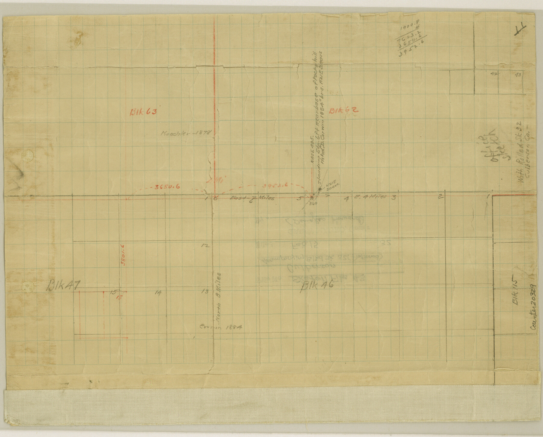
[Sketch showing common corner of Blocks 62, 63, 46 and 47]
-
Map/Doc
20329
-
Collection
General Map Collection
-
Object Dates
1931 (Creation Date)
1932/2/15 (File Date)
-
People and Organizations
W.J. Powell (Surveyor/Engineer)
Jacob Kuechler (Surveyor/Engineer)
-
Counties
Culberson
-
Subjects
Surveying Sketch File
-
Height x Width
8.9 x 11.1 inches
22.6 x 28.2 cm
-
Medium
paper, manuscript
-
Comments
See Culberson County Rolled Sketch 32 (5657) for companian sketch.
Related maps
Culberson County Rolled Sketch 32

Print $20.00
- Digital $50.00
Culberson County Rolled Sketch 32
1931
Size 20.2 x 36.4 inches
Map/Doc 5657
Part of: General Map Collection
Reeves County Working Sketch Graphic Index

Print $20.00
- Digital $50.00
Reeves County Working Sketch Graphic Index
1945
Size 47.3 x 38.1 inches
Map/Doc 76682
Brewster County Working Sketch 33

Print $20.00
- Digital $50.00
Brewster County Working Sketch 33
1943
Size 32.5 x 38.2 inches
Map/Doc 67567
Current Miscellaneous File 56

Print $10.00
- Digital $50.00
Current Miscellaneous File 56
1954
Size 12.2 x 9.2 inches
Map/Doc 74045
Orange County Sketch File 14a

Print $4.00
- Digital $50.00
Orange County Sketch File 14a
1886
Size 8.1 x 10.2 inches
Map/Doc 33328
Hockley County

Print $20.00
- Digital $50.00
Hockley County
1900
Size 41.5 x 36.7 inches
Map/Doc 16852
Hidalgo County Rolled Sketch 14

Print $40.00
- Digital $50.00
Hidalgo County Rolled Sketch 14
1963
Size 68.5 x 40.7 inches
Map/Doc 9169

Bexar County Working Sketch 19

Print $20.00
- Digital $50.00
Bexar County Working Sketch 19
1982
Size 41.8 x 41.7 inches
Map/Doc 67335
Taylor County Sketch File 18

Print $6.00
- Digital $50.00
Taylor County Sketch File 18
Size 11.6 x 7.3 inches
Map/Doc 37813
Location from Del Rio to Johnstone, Southern Pacific Railway Co.

Print $20.00
- Digital $50.00
Location from Del Rio to Johnstone, Southern Pacific Railway Co.
Size 13.3 x 44.3 inches
Map/Doc 64290
Denton County Sketch File 18

Print $4.00
- Digital $50.00
Denton County Sketch File 18
1856
Size 7.9 x 7.3 inches
Map/Doc 20731
Oldham County Sketch File 16

Print $6.00
- Digital $50.00
Oldham County Sketch File 16
1904
Size 11.2 x 8.8 inches
Map/Doc 33264
You may also like
Hansford County Working Sketch 5

Print $20.00
- Digital $50.00
Hansford County Working Sketch 5
1967
Size 30.2 x 28.3 inches
Map/Doc 63377
Presidio County Working Sketch 148

Print $20.00
- Digital $50.00
Presidio County Working Sketch 148
1991
Size 31.7 x 42.7 inches
Map/Doc 71826
Scurry County Rolled Sketch 12

Print $20.00
- Digital $50.00
Scurry County Rolled Sketch 12
1983
Size 27.7 x 27.0 inches
Map/Doc 7772
[Sketch around H. & T. C. Block 34 and PSL Block B19]
![91954, [Sketch around H. & T. C. Block 34 and PSL Block B19], Twichell Survey Records](https://historictexasmaps.com/wmedia_w700/maps/91954-1.tif.jpg)
Print $20.00
- Digital $50.00
[Sketch around H. & T. C. Block 34 and PSL Block B19]
Size 36.9 x 28.8 inches
Map/Doc 91954
Right of Way and Track Map Houston & Texas Central R.R. operated by the T. & N.O. R.R. Co., Austin Branch

Print $40.00
- Digital $50.00
Right of Way and Track Map Houston & Texas Central R.R. operated by the T. & N.O. R.R. Co., Austin Branch
1918
Size 25.6 x 57.8 inches
Map/Doc 64555
[Sketch showing H. T. & B. section 126 and B. H. Epperson]
![90932, [Sketch showing H. T. & B. section 126 and B. H. Epperson], Twichell Survey Records](https://historictexasmaps.com/wmedia_w700/maps/90932-1.tif.jpg)
Print $20.00
- Digital $50.00
[Sketch showing H. T. & B. section 126 and B. H. Epperson]
Size 23.9 x 32.5 inches
Map/Doc 90932
Comanche County Working Sketch 28

Print $20.00
- Digital $50.00
Comanche County Working Sketch 28
1984
Size 22.9 x 25.7 inches
Map/Doc 68162
Flight Mission No. CRC-2R, Frame 121, Chambers County

Print $20.00
- Digital $50.00
Flight Mission No. CRC-2R, Frame 121, Chambers County
1956
Size 18.7 x 22.4 inches
Map/Doc 84745
Travis County Rolled Sketch 59

Print $20.00
- Digital $50.00
Travis County Rolled Sketch 59
1987
Size 17.0 x 22.6 inches
Map/Doc 8050

Presidio County Working Sketch 125

Print $20.00
- Digital $50.00
Presidio County Working Sketch 125
1985
Size 32.7 x 27.9 inches
Map/Doc 71803
Travis County Appraisal District Plat Map 3_1100

Print $20.00
- Digital $50.00
Travis County Appraisal District Plat Map 3_1100
Size 21.5 x 26.4 inches
Map/Doc 94212