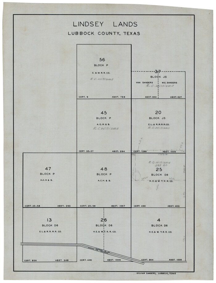
[Sketch around H. & T. C. Block 34 and PSL Block B19]
238-16
-
Map/Doc
91954
-
Collection
Twichell Survey Records
-
Counties
Ward
-
Height x Width
36.9 x 28.8 inches
93.7 x 73.2 cm
Part of: Twichell Survey Records
University of Texas System University Lands


Print $20.00
- Digital $50.00
University of Texas System University Lands
1938
Size 17.9 x 23.5 inches
Map/Doc 93249
[3KA and vicinity]
![90846, [3KA and vicinity], Twichell Survey Records](https://historictexasmaps.com/wmedia_w700/maps/90846-2.tif.jpg)
![90846, [3KA and vicinity], Twichell Survey Records](https://historictexasmaps.com/wmedia_w700/maps/90846-2.tif.jpg)
Print $20.00
- Digital $50.00
[3KA and vicinity]
Size 32.9 x 10.3 inches
Map/Doc 90846
[Sketch of PSL Blocks A20, A35, A44, A45]
![89739, [Sketch of PSL Blocks A20, A35, A44, A45], Twichell Survey Records](https://historictexasmaps.com/wmedia_w700/maps/89739-1.tif.jpg)
![89739, [Sketch of PSL Blocks A20, A35, A44, A45], Twichell Survey Records](https://historictexasmaps.com/wmedia_w700/maps/89739-1.tif.jpg)
Print $40.00
- Digital $50.00
[Sketch of PSL Blocks A20, A35, A44, A45]
Size 22.7 x 66.9 inches
Map/Doc 89739
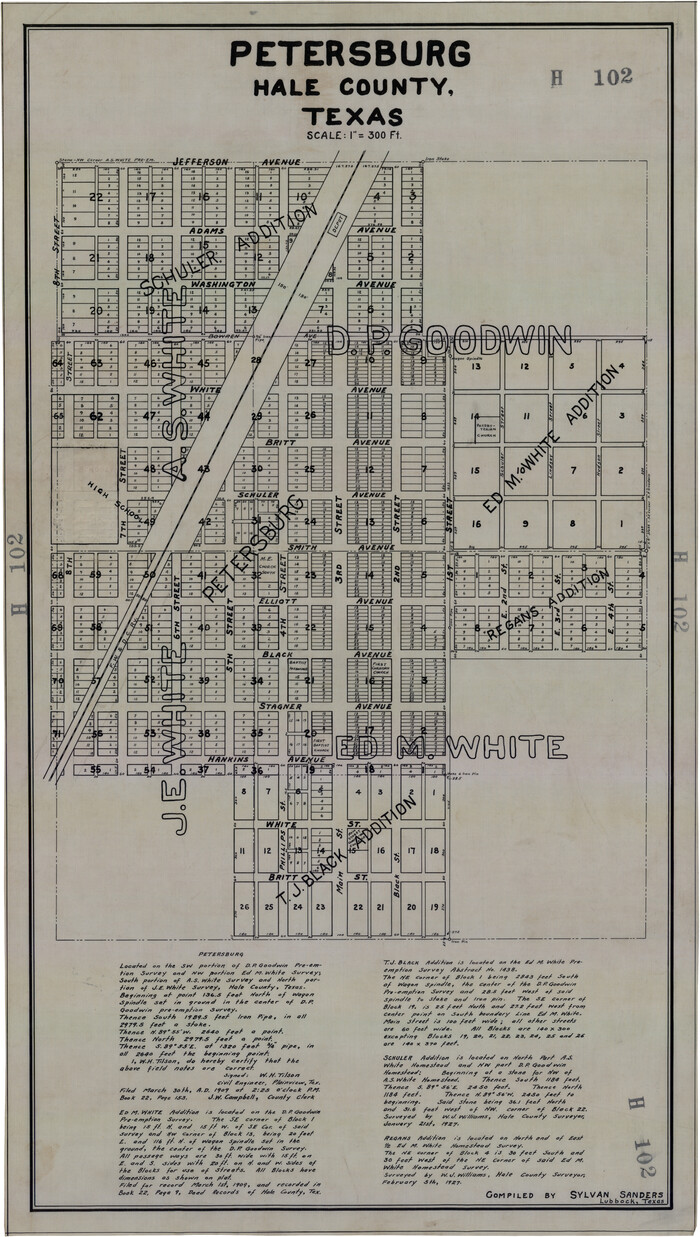
Petersburg, Hale County, Texas

Print $20.00
- Digital $50.00
Petersburg, Hale County, Texas
1927
Size 16.1 x 28.4 inches
Map/Doc 92699
Map Showing a Resurvey of Part of Blk. I, H. &. G. N. Ry. Co. Pecos County, Texas, following field notes copied from Jacob Kuechler's field book of his original survey made in October and November 1876


Print $20.00
- Digital $50.00
Map Showing a Resurvey of Part of Blk. I, H. &. G. N. Ry. Co. Pecos County, Texas, following field notes copied from Jacob Kuechler's field book of his original survey made in October and November 1876
1930
Size 19.7 x 14.8 inches
Map/Doc 91571
[Block K, Public School Land]
![92907, [Block K, Public School Land], Twichell Survey Records](https://historictexasmaps.com/wmedia_w700/maps/92907-1.tif.jpg)
![92907, [Block K, Public School Land], Twichell Survey Records](https://historictexasmaps.com/wmedia_w700/maps/92907-1.tif.jpg)
Print $20.00
- Digital $50.00
[Block K, Public School Land]
1902
Size 17.9 x 32.8 inches
Map/Doc 92907
[R. M. Thompson, Block A]
![91129, [R. M. Thompson, Block A], Twichell Survey Records](https://historictexasmaps.com/wmedia_w700/maps/91129-1.tif.jpg)
![91129, [R. M. Thompson, Block A], Twichell Survey Records](https://historictexasmaps.com/wmedia_w700/maps/91129-1.tif.jpg)
Print $3.00
- Digital $50.00
[R. M. Thompson, Block A]
Size 9.6 x 11.8 inches
Map/Doc 91129
[Map showing J. H. Gibson Blocks D and DD and Double Lake Corner]
![92015, [Map showing J. H. Gibson Blocks D and DD and Double Lake Corner], Twichell Survey Records](https://historictexasmaps.com/wmedia_w700/maps/92015-1.tif.jpg)
![92015, [Map showing J. H. Gibson Blocks D and DD and Double Lake Corner], Twichell Survey Records](https://historictexasmaps.com/wmedia_w700/maps/92015-1.tif.jpg)
Print $20.00
- Digital $50.00
[Map showing J. H. Gibson Blocks D and DD and Double Lake Corner]
Size 36.4 x 33.6 inches
Map/Doc 92015
[Portion of Thomas Kelly Subdivision in Parmer and Castro Counties, Texas]
![92550, [Portion of Thomas Kelly Subdivision in Parmer and Castro Counties, Texas], Twichell Survey Records](https://historictexasmaps.com/wmedia_w700/maps/92550-1.tif.jpg)
![92550, [Portion of Thomas Kelly Subdivision in Parmer and Castro Counties, Texas], Twichell Survey Records](https://historictexasmaps.com/wmedia_w700/maps/92550-1.tif.jpg)
Print $20.00
- Digital $50.00
[Portion of Thomas Kelly Subdivision in Parmer and Castro Counties, Texas]
1906
Size 20.3 x 16.4 inches
Map/Doc 92550
[D. & S. E. Surs., G. C. & S. F. Blk. 9 west of University Land Blks. 49 and 50]
![90308, [D. & S. E. Surs., G. C. & S. F. Blk. 9 west of University Land Blks. 49 and 50], Twichell Survey Records](https://historictexasmaps.com/wmedia_w700/maps/90308-1.tif.jpg)
![90308, [D. & S. E. Surs., G. C. & S. F. Blk. 9 west of University Land Blks. 49 and 50], Twichell Survey Records](https://historictexasmaps.com/wmedia_w700/maps/90308-1.tif.jpg)
Print $3.00
- Digital $50.00
[D. & S. E. Surs., G. C. & S. F. Blk. 9 west of University Land Blks. 49 and 50]
Size 11.3 x 15.4 inches
Map/Doc 90308
You may also like
Wood County Working Sketch 22


Print $20.00
- Digital $50.00
Wood County Working Sketch 22
1962
Size 45.9 x 36.6 inches
Map/Doc 62022
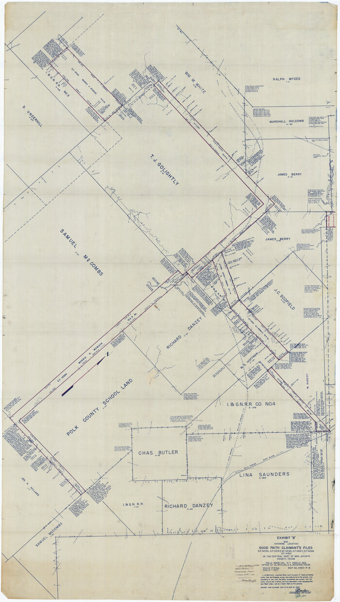
San Jacinto County Rolled Sketch 10B

Print $40.00
- Digital $50.00
San Jacinto County Rolled Sketch 10B
1944
Size 76.5 x 43.2 inches
Map/Doc 9883
Stephens County Sketch File 10c


Print $6.00
- Digital $50.00
Stephens County Sketch File 10c
Size 7.8 x 11.5 inches
Map/Doc 37052
Angelina County Sketch File 18a

Print $5.00
- Digital $50.00
Angelina County Sketch File 18a
Size 7.7 x 12.0 inches
Map/Doc 13030
Right-of-Way and Track Map, Texas State Railroad operated by the T. and N. O. R.R. Co.


Print $40.00
- Digital $50.00
Right-of-Way and Track Map, Texas State Railroad operated by the T. and N. O. R.R. Co.
1917
Size 24.4 x 55.8 inches
Map/Doc 64174
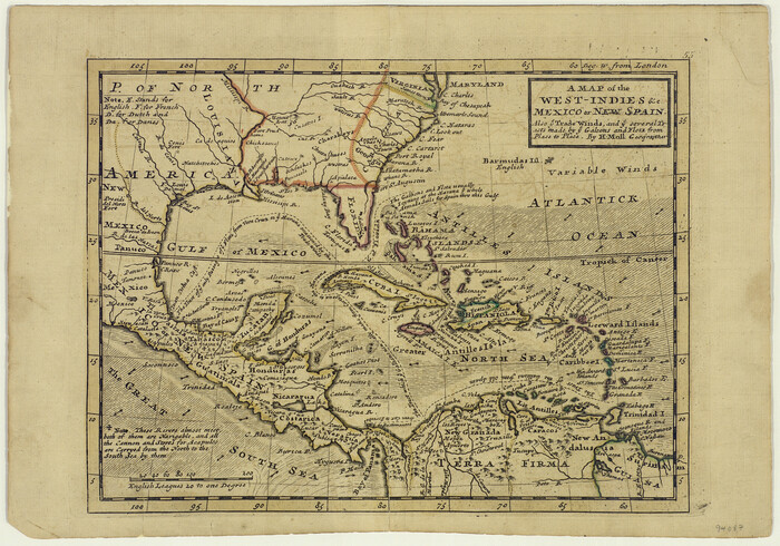
A Map of the West-Indies & c., Mexico or New Spain. Also ye trade winds and ye several tracts made by ye Galeons and Flota from place to place

Print $20.00
- Digital $50.00
A Map of the West-Indies & c., Mexico or New Spain. Also ye trade winds and ye several tracts made by ye Galeons and Flota from place to place
1729
Size 9.5 x 13.6 inches
Map/Doc 94087
Maps of Gulf Intracoastal Waterway, Texas - Sabine River to the Rio Grande and connecting waterways including ship channels


Print $20.00
- Digital $50.00
Maps of Gulf Intracoastal Waterway, Texas - Sabine River to the Rio Grande and connecting waterways including ship channels
1966
Size 14.6 x 22.3 inches
Map/Doc 61950
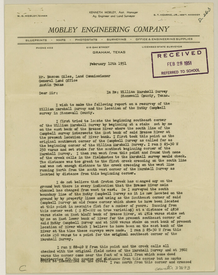
Stonewall County Sketch File 23

Print $6.00
- Digital $50.00
Stonewall County Sketch File 23
1951
Size 11.3 x 8.9 inches
Map/Doc 37293
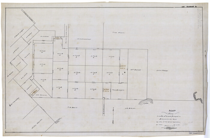
Brazoria County Rolled Sketch 20

Print $20.00
- Digital $50.00
Brazoria County Rolled Sketch 20
1917
Size 31.1 x 47.1 inches
Map/Doc 8929
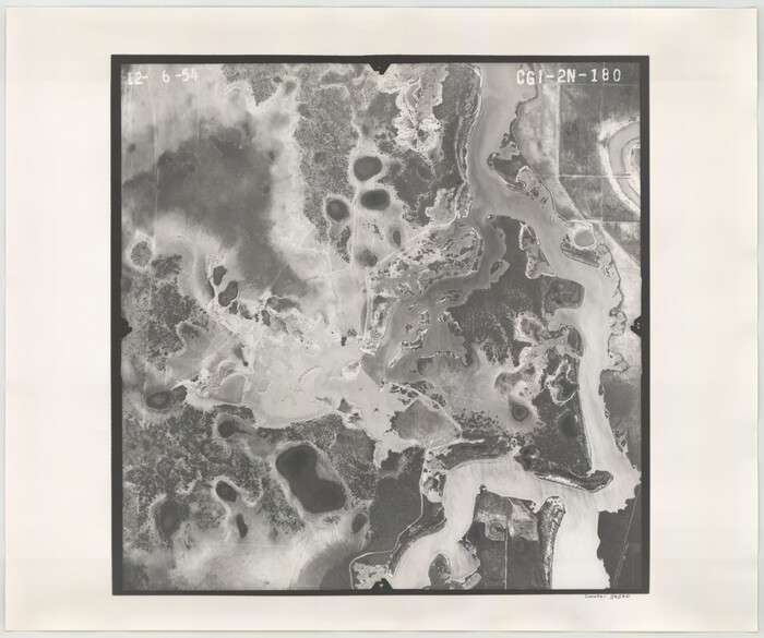
Flight Mission No. CGI-2N, Frame 180, Cameron County

Print $20.00
- Digital $50.00
Flight Mission No. CGI-2N, Frame 180, Cameron County
1954
Size 18.5 x 22.1 inches
Map/Doc 84540
Colorado County Working Sketch 28


Print $20.00
- Digital $50.00
Colorado County Working Sketch 28
1979
Size 33.5 x 24.3 inches
Map/Doc 68128
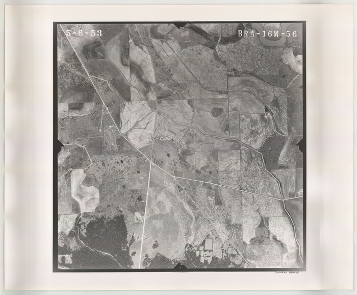
Flight Mission No. BRA-16M, Frame 56, Jefferson County

Print $20.00
- Digital $50.00
Flight Mission No. BRA-16M, Frame 56, Jefferson County
1953
Size 18.6 x 22.5 inches
Map/Doc 85673
![91954, [Sketch around H. & T. C. Block 34 and PSL Block B19], Twichell Survey Records](https://historictexasmaps.com/wmedia_w1800h1800/maps/91954-1.tif.jpg)
![91292, [League 321], Twichell Survey Records](https://historictexasmaps.com/wmedia_w700/maps/91292-1.tif.jpg)
