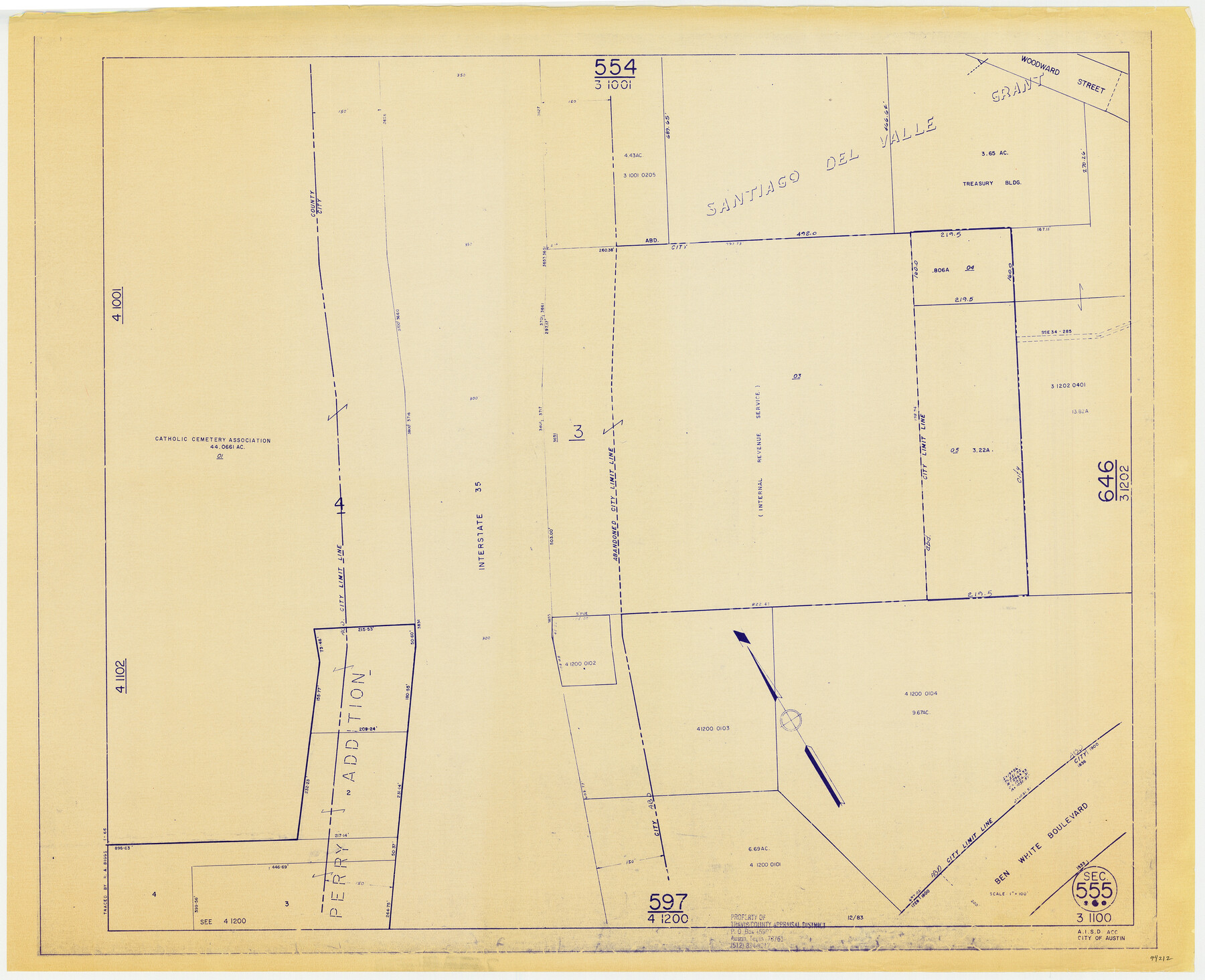
Travis County Appraisal District Plat Map 3_1100
Section 555
-
Map/Doc
94212
-
Collection
General Map Collection
-
Object Dates
1966 (Copy/Tracing Date)
1983 (Edition Date)
-
People and Organizations
Travis County Appraisal District (Publisher)
R.A. Biggs (Tracer)
-
Counties
Travis
-
Subjects
City
-
Height x Width
21.5 x 26.4 inches
54.6 x 67.1 cm
-
Medium
blueprint/diazo
-
Scale
1" = 100'
Part of: General Map Collection
Burleson County Working Sketch 23

Print $20.00
- Digital $50.00
Burleson County Working Sketch 23
1980
Size 17.9 x 16.6 inches
Map/Doc 67742
Northern Part of Laguna Madre

Print $20.00
- Digital $50.00
Northern Part of Laguna Madre
1965
Size 44.5 x 35.0 inches
Map/Doc 73526
Blanco County Sketch File 32

Print $4.00
- Digital $50.00
Blanco County Sketch File 32
1888
Size 8.5 x 11.1 inches
Map/Doc 14633
Gillespie County Sketch File 4a

Print $40.00
- Digital $50.00
Gillespie County Sketch File 4a
Size 15.8 x 12.8 inches
Map/Doc 24137
Val Verde Co.

Print $20.00
- Digital $50.00
Val Verde Co.
1908
Size 40.9 x 38.5 inches
Map/Doc 63101
Andrews County Sketch File 6

Print $9.00
- Digital $50.00
Andrews County Sketch File 6
1942
Size 9.6 x 10.6 inches
Map/Doc 12825
[Galveston, Harrisburg & San Antonio Railway]
![64404, [Galveston, Harrisburg & San Antonio Railway], General Map Collection](https://historictexasmaps.com/wmedia_w700/maps/64404.tif.jpg)
Print $20.00
- Digital $50.00
[Galveston, Harrisburg & San Antonio Railway]
1892
Size 13.8 x 34.0 inches
Map/Doc 64404
United States - Gulf Coast - From Latitude 26° 33' to the Rio Grande Texas

Print $20.00
- Digital $50.00
United States - Gulf Coast - From Latitude 26° 33' to the Rio Grande Texas
1913
Size 28.0 x 18.2 inches
Map/Doc 72833
Cameron County Rolled Sketch 25

Print $20.00
- Digital $50.00
Cameron County Rolled Sketch 25
1977
Size 24.8 x 36.8 inches
Map/Doc 5792
Angelina County Working Sketch 8

Print $20.00
- Digital $50.00
Angelina County Working Sketch 8
1920
Size 19.1 x 15.0 inches
Map/Doc 67089
Galveston County NRC Article 33.136 Sketch 59

Print $24.00
- Digital $50.00
Galveston County NRC Article 33.136 Sketch 59
2008
Size 11.5 x 17.0 inches
Map/Doc 94606

You may also like
Map of Unsurveyed Bed of Spring Creek

Print $40.00
- Digital $50.00
Map of Unsurveyed Bed of Spring Creek
1920
Size 78.7 x 27.1 inches
Map/Doc 65695
Rockwall County Boundary File 52a

Print $22.00
- Digital $50.00
Rockwall County Boundary File 52a
Size 12.9 x 8.3 inches
Map/Doc 58461
Coryell County Sketch File 6

Print $4.00
- Digital $50.00
Coryell County Sketch File 6
1858
Size 8.2 x 9.8 inches
Map/Doc 19347
Navarro County Working Sketch 13

Print $20.00
- Digital $50.00
Navarro County Working Sketch 13
1980
Size 15.6 x 16.1 inches
Map/Doc 71243
Map of the Central and Montgomery Railroad

Print $20.00
- Digital $50.00
Map of the Central and Montgomery Railroad
1881
Size 12.6 x 36.8 inches
Map/Doc 64141
Bandera County

Print $40.00
- Digital $50.00
Bandera County
1947
Size 33.9 x 54.9 inches
Map/Doc 73075
[Sketch around H. & T. C. Block 34 and PSL Block B19]
![91954, [Sketch around H. & T. C. Block 34 and PSL Block B19], Twichell Survey Records](https://historictexasmaps.com/wmedia_w700/maps/91954-1.tif.jpg)
Print $20.00
- Digital $50.00
[Sketch around H. & T. C. Block 34 and PSL Block B19]
Size 36.9 x 28.8 inches
Map/Doc 91954
Cooke County Working Sketch 27

Print $20.00
- Digital $50.00
Cooke County Working Sketch 27
1975
Size 29.7 x 23.3 inches
Map/Doc 68264
Crane County Working Sketch 28

Print $40.00
- Digital $50.00
Crane County Working Sketch 28
1972
Size 49.4 x 49.1 inches
Map/Doc 68305
Polk County Working Sketch 33b

Print $20.00
- Digital $50.00
Polk County Working Sketch 33b
1960
Size 14.9 x 24.8 inches
Map/Doc 71650
General Highway Map, Martin County, Texas

Print $20.00
General Highway Map, Martin County, Texas
1940
Size 18.2 x 24.6 inches
Map/Doc 79185
Milam County Sketch File 6

Print $4.00
- Digital $50.00
Milam County Sketch File 6
1902
Size 14.2 x 8.6 inches
Map/Doc 31634