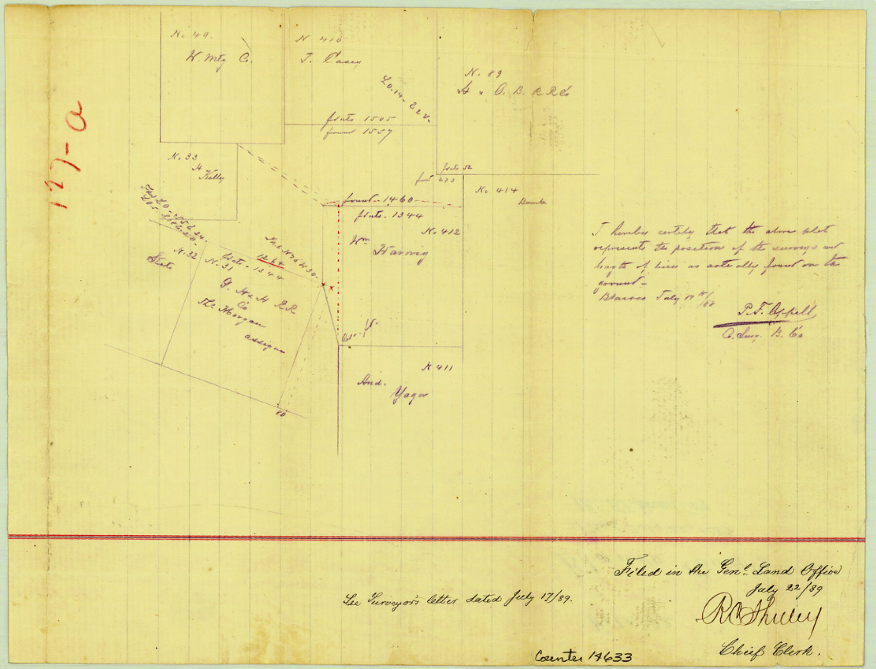
Blanco County Sketch File 32
[Sketch of area southeast of Johnson City]
-
Map/Doc
14633
-
Collection
General Map Collection
-
Object Dates
1888/7/17 (Creation Date)
1889/7/22 (File Date)
-
People and Organizations
P.F. Appell (Surveyor/Engineer)
-
Counties
Blanco
-
Subjects
Surveying Sketch File
-
Height x Width
8.5 x 11.1 inches
21.6 x 28.2 cm
-
Medium
paper, manuscript
Part of: General Map Collection
Leon County Rolled Sketch 17

Print $20.00
- Digital $50.00
Leon County Rolled Sketch 17
1981
Size 25.2 x 33.4 inches
Map/Doc 6602
Kinney County

Print $40.00
- Digital $50.00
Kinney County
1909
Size 49.8 x 44.2 inches
Map/Doc 66893
Sutton County Sketch File 38

Print $20.00
- Digital $50.00
Sutton County Sketch File 38
1935
Size 18.2 x 28.3 inches
Map/Doc 12388
Wilbarger Co.

Print $20.00
- Digital $50.00
Wilbarger Co.
1949
Size 47.8 x 38.8 inches
Map/Doc 73324
Tarrant County Sketch File 23

Print $4.00
- Digital $50.00
Tarrant County Sketch File 23
Size 6.1 x 8.2 inches
Map/Doc 37733
Coleman County Working Sketch 20

Print $20.00
- Digital $50.00
Coleman County Working Sketch 20
1953
Size 32.7 x 41.9 inches
Map/Doc 68086
Right of Way and Track Map Houston & Texas Central R.R. operated by the T. & N.O. R.R. Co., Austin Branch

Print $40.00
- Digital $50.00
Right of Way and Track Map Houston & Texas Central R.R. operated by the T. & N.O. R.R. Co., Austin Branch
1918
Size 25.5 x 57.7 inches
Map/Doc 64553
Schleicher County

Print $40.00
- Digital $50.00
Schleicher County
1898
Size 35.0 x 52.8 inches
Map/Doc 78396
Webb County Working Sketch 58

Print $20.00
- Digital $50.00
Webb County Working Sketch 58
1958
Size 37.4 x 37.0 inches
Map/Doc 72424
Limestone County Sketch File 1

Print $4.00
- Digital $50.00
Limestone County Sketch File 1
Size 9.8 x 8.1 inches
Map/Doc 30155
Gulf of Mexico

Print $20.00
- Digital $50.00
Gulf of Mexico
1908
Size 18.3 x 26.9 inches
Map/Doc 72655
Hemphill County Boundary File 2

Print $54.00
- Digital $50.00
Hemphill County Boundary File 2
Size 8.6 x 32.1 inches
Map/Doc 54621
You may also like
Jim Wells County Working Sketch 6

Print $20.00
- Digital $50.00
Jim Wells County Working Sketch 6
1943
Size 33.3 x 21.2 inches
Map/Doc 66604
Pecos County Working Sketch 110

Print $40.00
- Digital $50.00
Pecos County Working Sketch 110
1972
Size 32.3 x 50.6 inches
Map/Doc 71583
Flight Mission No. DQN-6K, Frame 71, Calhoun County

Print $20.00
- Digital $50.00
Flight Mission No. DQN-6K, Frame 71, Calhoun County
1953
Size 18.5 x 22.2 inches
Map/Doc 84443

Gillespie County

Print $40.00
- Digital $50.00
Gillespie County
1887
Size 34.6 x 49.8 inches
Map/Doc 66836
Flight Mission No. CGN-3P, Frame 141, San Patricio County

Print $20.00
- Digital $50.00
Flight Mission No. CGN-3P, Frame 141, San Patricio County
1956
Size 18.6 x 22.4 inches
Map/Doc 86985
Showing how the New County of Durant is bounded, from Official Maps from the General Land Office of Galveston, Harris, Fort Bend, and Brazoria Counties

Print $20.00
- Digital $50.00
Showing how the New County of Durant is bounded, from Official Maps from the General Land Office of Galveston, Harris, Fort Bend, and Brazoria Counties
1880
Size 18.6 x 19.0 inches
Map/Doc 4473
[Surveys in the Milam District on Bosque River and Spring Creek]
![3170, [Surveys in the Milam District on Bosque River and Spring Creek], General Map Collection](https://historictexasmaps.com/wmedia_w700/maps/3170.tif.jpg)
Print $20.00
- Digital $50.00
[Surveys in the Milam District on Bosque River and Spring Creek]
1846
Size 13.3 x 14.7 inches
Map/Doc 3170
Liberty County Rolled Sketch JP2

Print $40.00
- Digital $50.00
Liberty County Rolled Sketch JP2
1935
Size 51.8 x 12.8 inches
Map/Doc 10663
Flight Mission No. DAG-21K, Frame 89, Matagorda County

Print $20.00
- Digital $50.00
Flight Mission No. DAG-21K, Frame 89, Matagorda County
1952
Size 18.5 x 22.3 inches
Map/Doc 86418
Cooke County Sketch File 34

Print $44.00
- Digital $50.00
Cooke County Sketch File 34
Size 11.8 x 8.2 inches
Map/Doc 19298
