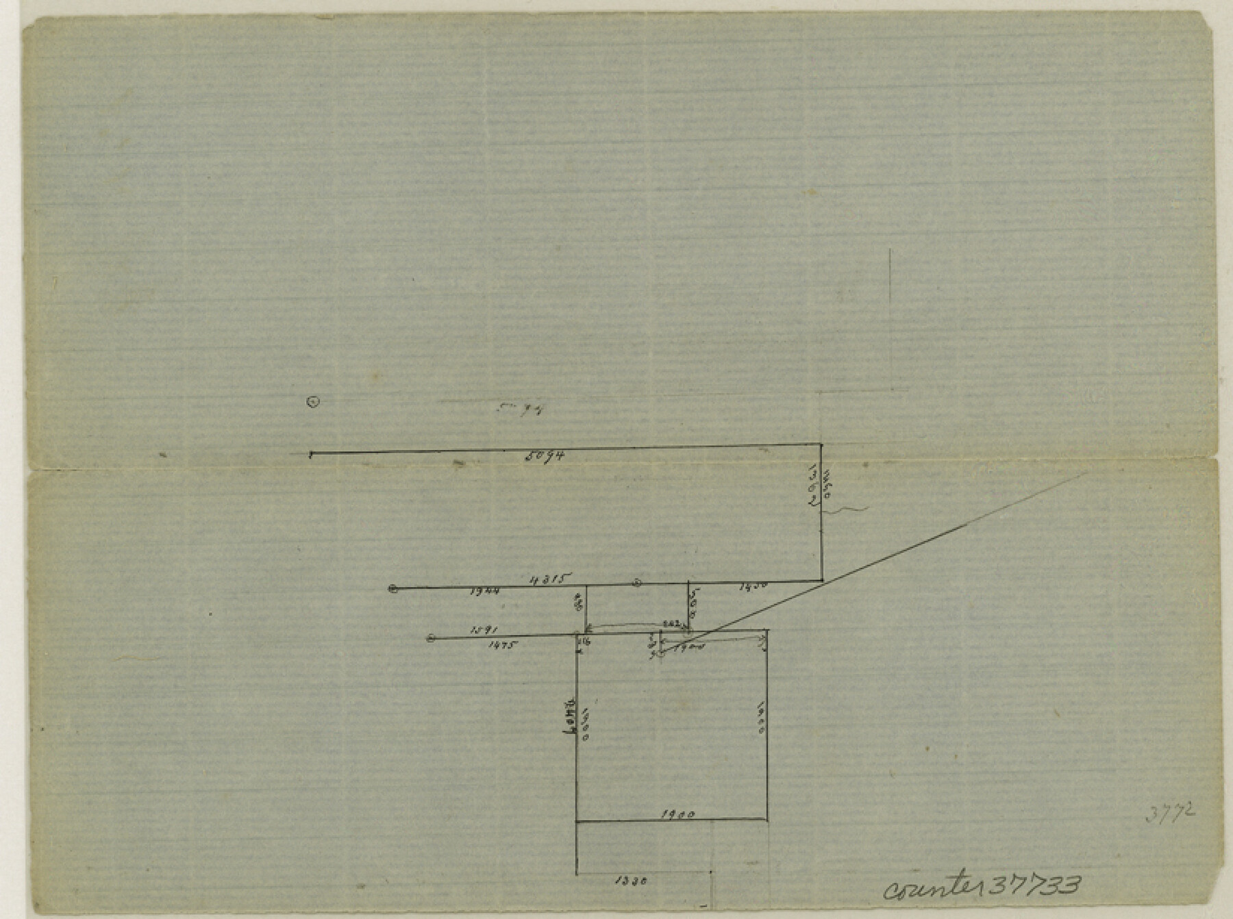
Tarrant County Sketch File 23
[Skeleton sketch in northwest corner of the county]
-
Map/Doc
37733
-
Collection
General Map Collection
-
Counties
Tarrant
-
Subjects
Surveying Sketch File
-
Height x Width
6.1 x 8.2 inches
15.5 x 20.8 cm
-
Medium
paper, manuscript
Part of: General Map Collection
Comanche County Sketch File 24 1/2

Print $6.00
- Digital $50.00
Comanche County Sketch File 24 1/2
Size 10.5 x 15.8 inches
Map/Doc 19113
Aransas County Rolled Sketch 27

Print $20.00
- Digital $50.00
Aransas County Rolled Sketch 27
1983
Size 24.9 x 35.4 inches
Map/Doc 5059
City of Port Aransas

Print $40.00
- Digital $50.00
City of Port Aransas
1990
Size 25.2 x 53.3 inches
Map/Doc 3213
Rusk County Working Sketch 1

Print $20.00
- Digital $50.00
Rusk County Working Sketch 1
Size 14.2 x 23.1 inches
Map/Doc 63636
Flight Mission No. CUG-2P, Frame 82, Kleberg County

Print $20.00
- Digital $50.00
Flight Mission No. CUG-2P, Frame 82, Kleberg County
1956
Size 18.5 x 22.3 inches
Map/Doc 86214


Burnet County Sketch File 19

Print $4.00
- Digital $50.00
Burnet County Sketch File 19
1859
Size 11.6 x 8.2 inches
Map/Doc 16710
Flight Mission No. CUG-1P, Frame 113, Kleberg County

Print $20.00
- Digital $50.00
Flight Mission No. CUG-1P, Frame 113, Kleberg County
1956
Size 18.8 x 22.2 inches
Map/Doc 86163
Flight Mission No. DIX-8P, Frame 65, Aransas County

Print $20.00
- Digital $50.00
Flight Mission No. DIX-8P, Frame 65, Aransas County
1956
Size 18.7 x 22.4 inches
Map/Doc 83896
Kimble County Working Sketch 77

Print $20.00
- Digital $50.00
Kimble County Working Sketch 77
1970
Size 25.0 x 36.2 inches
Map/Doc 70145
Flight Mission No. CRC-2R, Frame 191, Chambers County

Print $20.00
- Digital $50.00
Flight Mission No. CRC-2R, Frame 191, Chambers County
1956
Size 18.6 x 22.4 inches
Map/Doc 84769
You may also like
Throckmorton County Boundary File 2

Print $34.00
- Digital $50.00
Throckmorton County Boundary File 2
Size 8.3 x 5.7 inches
Map/Doc 59264
Travis County Working Sketch 48

Print $40.00
- Digital $50.00
Travis County Working Sketch 48
1981
Size 53.7 x 40.3 inches
Map/Doc 69432
Brazoria County Rolled Sketch 49

Print $20.00
- Digital $50.00
Brazoria County Rolled Sketch 49
1948
Size 23.8 x 36.1 inches
Map/Doc 5182
Webb County Boundary File 3

Print $74.00
- Digital $50.00
Webb County Boundary File 3
Size 11.3 x 8.8 inches
Map/Doc 59716
Crockett County Working Sketch 70

Print $40.00
- Digital $50.00
Crockett County Working Sketch 70
1963
Size 23.7 x 49.5 inches
Map/Doc 68403
Presidio County Sketch File 6a

Print $2.00
- Digital $50.00
Presidio County Sketch File 6a
Size 7.9 x 6.6 inches
Map/Doc 34437
Calhoun County Rolled Sketch 11

Print $3.00
- Digital $50.00
Calhoun County Rolled Sketch 11
1942
Size 10.9 x 16.2 inches
Map/Doc 5462
Tom Green County Sketch File 53

Print $8.00
- Digital $50.00
Tom Green County Sketch File 53
1884
Size 14.2 x 9.1 inches
Map/Doc 38221
Terry County Rolled Sketch 4

Print $20.00
- Digital $50.00
Terry County Rolled Sketch 4
Size 38.7 x 36.8 inches
Map/Doc 9994
Hunt County Boundary File 3

Print $12.00
- Digital $50.00
Hunt County Boundary File 3
Size 10.5 x 8.4 inches
Map/Doc 55208
Bird's Eye View of the City of Belton, Bell County, Texas

Print $20.00
Bird's Eye View of the City of Belton, Bell County, Texas
1881
Size 18.5 x 23.8 inches
Map/Doc 89074
Frio County Sketch File 1

Print $8.00
- Digital $50.00
Frio County Sketch File 1
1848
Size 8.6 x 7.7 inches
Map/Doc 23101