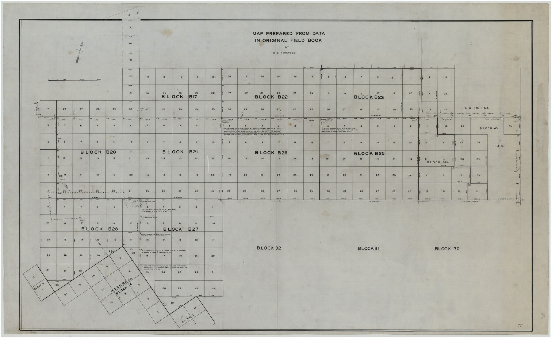
Map Prepared from Data in Original Field Book by W.D. Twichell
52-15
-
Map/Doc
89750
-
Collection
Twichell Survey Records
-
Counties
Crane
-
Height x Width
64.2 x 39.9 inches
163.1 x 101.4 cm
Part of: Twichell Survey Records
[Heirs of Jno. Breeding and surrounding surveys]
![90494, [Heirs of Jno. Breeding and surrounding surveys], Twichell Survey Records](https://historictexasmaps.com/wmedia_w700/maps/90494-1.tif.jpg)
Print $3.00
- Digital $50.00
[Heirs of Jno. Breeding and surrounding surveys]
Size 10.5 x 16.1 inches
Map/Doc 90494
[Plainview with Highland Addition]
![92662, [Plainview with Highland Addition], Twichell Survey Records](https://historictexasmaps.com/wmedia_w700/maps/92662-1.tif.jpg)
Print $40.00
- Digital $50.00
[Plainview with Highland Addition]
Size 54.0 x 27.4 inches
Map/Doc 92662
Northeastern United States Including the Great Lakes Region

Northeastern United States Including the Great Lakes Region
1959
Size 25.6 x 19.3 inches
Map/Doc 92395
Thornton, Texas

Print $20.00
- Digital $50.00
Thornton, Texas
1922
Size 30.0 x 32.6 inches
Map/Doc 92143

[Blocks Y2 and I]
![91261, [Blocks Y2 and I], Twichell Survey Records](https://historictexasmaps.com/wmedia_w700/maps/91261-1.tif.jpg)
Print $20.00
- Digital $50.00
[Blocks Y2 and I]
Size 17.8 x 13.8 inches
Map/Doc 91261
Ownership Map SW 1/4 Lubbock County

Print $20.00
- Digital $50.00
Ownership Map SW 1/4 Lubbock County
Size 33.7 x 36.8 inches
Map/Doc 89697
Section 1, Block AX, Gaines County, Texas

Print $3.00
- Digital $50.00
Section 1, Block AX, Gaines County, Texas
1952
Size 11.1 x 13.1 inches
Map/Doc 92670
Yates Pool, Pecos County, Texas

Print $20.00
- Digital $50.00
Yates Pool, Pecos County, Texas
1928
Size 21.3 x 18.3 inches
Map/Doc 91623
[Texas and Pacific Railroad Co. Blocks 55, 54 and 76, Townships 1 & 2]
![89882, [Texas and Pacific Railroad Co. Blocks 55, 54 and 76, Townships 1 & 2], Twichell Survey Records](https://historictexasmaps.com/wmedia_w700/maps/89882-1.tif.jpg)
Print $20.00
- Digital $50.00
[Texas and Pacific Railroad Co. Blocks 55, 54 and 76, Townships 1 & 2]
Size 46.2 x 41.5 inches
Map/Doc 89882
[Blocks B5, B6 and Capitol Land Reservation]
![93014, [Blocks B5, B6 and Capitol Land Reservation], Twichell Survey Records](https://historictexasmaps.com/wmedia_w700/maps/93014-1.tif.jpg)
Print $20.00
- Digital $50.00
[Blocks B5, B6 and Capitol Land Reservation]
Size 20.6 x 18.6 inches
Map/Doc 93014
[Area in the vicinity of the Mary Fury survey south of H. T. & B. RR. Co. surveys 125 and 126]
![90933, [Area in the vicinity of the Mary Fury survey south of H. T. & B. RR. Co. surveys 125 and 126], Twichell Survey Records](https://historictexasmaps.com/wmedia_w700/maps/90933-1.tif.jpg)
Print $20.00
- Digital $50.00
[Area in the vicinity of the Mary Fury survey south of H. T. & B. RR. Co. surveys 125 and 126]
Size 13.5 x 21.7 inches
Map/Doc 90933
You may also like
Aransas County Rolled Sketch 1

Print $40.00
- Digital $50.00
Aransas County Rolled Sketch 1
1930
Size 16.6 x 53.4 inches
Map/Doc 8404
Navigation Maps of Gulf Intracoastal Waterway, Port Arthur to Brownsville, Texas

Print $4.00
- Digital $50.00
Navigation Maps of Gulf Intracoastal Waterway, Port Arthur to Brownsville, Texas
1951
Size 16.7 x 21.2 inches
Map/Doc 65449
Montgomery County Sketch File 12

Print $2.00
- Digital $50.00
Montgomery County Sketch File 12
Size 8.1 x 3.8 inches
Map/Doc 31802
El Paso County Working Sketch 6

Print $20.00
- Digital $50.00
El Paso County Working Sketch 6
1928
Size 25.4 x 16.7 inches
Map/Doc 69028
The Republic County of Shelby. January 30, 1841

Print $20.00
The Republic County of Shelby. January 30, 1841
2020
Size 20.0 x 21.7 inches
Map/Doc 96282
Nueces County Sketch File 56

Print $113.00
- Digital $50.00
Nueces County Sketch File 56
1973
Size 10.1 x 9.3 inches
Map/Doc 32874
[Block K, Public School Land]
![92907, [Block K, Public School Land], Twichell Survey Records](https://historictexasmaps.com/wmedia_w700/maps/92907-1.tif.jpg)
Print $20.00
- Digital $50.00
[Block K, Public School Land]
1902
Size 17.9 x 32.8 inches
Map/Doc 92907
Kleberg County Rolled Sketch 10-41

Print $20.00
- Digital $50.00
Kleberg County Rolled Sketch 10-41
1952
Size 41.2 x 32.7 inches
Map/Doc 9385
Carson County Sketch File 6b

Print $22.00
- Digital $50.00
Carson County Sketch File 6b
1928
Size 13.4 x 8.6 inches
Map/Doc 17378
Culberson County Working Sketch 52

Print $20.00
- Digital $50.00
Culberson County Working Sketch 52
1972
Size 37.3 x 39.5 inches
Map/Doc 68506
Rand McNally Standard Map of Texas

Print $20.00
- Digital $50.00
Rand McNally Standard Map of Texas
1928
Size 27.4 x 39.7 inches
Map/Doc 95856
El Paso County Boundary File 18

Print $21.00
- Digital $50.00
El Paso County Boundary File 18
Size 13.7 x 8.5 inches
Map/Doc 53196