[G. & M. Block O, M. B. & A. Block N, PSL Blocks B-19 and B-29 showing alleged vacancy]
238-23
-
Map/Doc
89812
-
Collection
Twichell Survey Records
-
People and Organizations
D.W. Boren (Surveyor/Engineer)
-
Counties
Ward
-
Height x Width
72.2 x 36.9 inches
183.4 x 93.7 cm
Part of: Twichell Survey Records
[Blocks B-19, B-29, 34 and 5]
![91846, [Blocks B-19, B-29, 34 and 5], Twichell Survey Records](https://historictexasmaps.com/wmedia_w700/maps/91846-1.tif.jpg)
![91846, [Blocks B-19, B-29, 34 and 5], Twichell Survey Records](https://historictexasmaps.com/wmedia_w700/maps/91846-1.tif.jpg)
Print $20.00
- Digital $50.00
[Blocks B-19, B-29, 34 and 5]
1902
Size 12.2 x 16.4 inches
Map/Doc 91846
Working Sketch Bastrop County
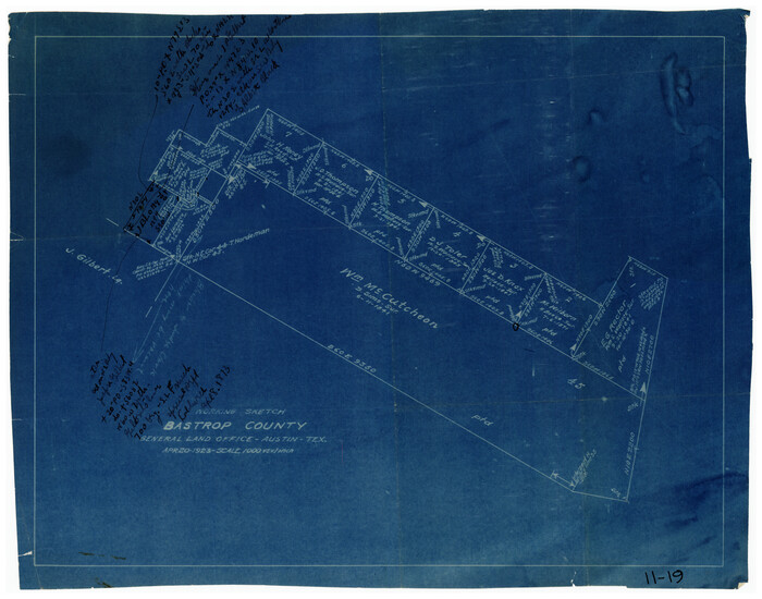

Print $20.00
- Digital $50.00
Working Sketch Bastrop County
1923
Size 16.7 x 13.1 inches
Map/Doc 90117
General Highway Map Lamb County, Texas


Print $20.00
- Digital $50.00
General Highway Map Lamb County, Texas
1949
Size 19.0 x 26.0 inches
Map/Doc 92172
[Blocks M-23, M-17, M-18, H, G, and vicinity]
![91140, [Blocks M-23, M-17, M-18, H, G, and vicinity], Twichell Survey Records](https://historictexasmaps.com/wmedia_w700/maps/91140-1.tif.jpg)
![91140, [Blocks M-23, M-17, M-18, H, G, and vicinity], Twichell Survey Records](https://historictexasmaps.com/wmedia_w700/maps/91140-1.tif.jpg)
Print $20.00
- Digital $50.00
[Blocks M-23, M-17, M-18, H, G, and vicinity]
1882
Size 12.6 x 12.2 inches
Map/Doc 91140
[Rusk, Sutton, Garza, and Atascosa County School Lands]
![91125, [Rusk, Sutton, Garza, and Atascosa County School Lands], Twichell Survey Records](https://historictexasmaps.com/wmedia_w700/maps/91125-1.tif.jpg)
![91125, [Rusk, Sutton, Garza, and Atascosa County School Lands], Twichell Survey Records](https://historictexasmaps.com/wmedia_w700/maps/91125-1.tif.jpg)
Print $3.00
- Digital $50.00
[Rusk, Sutton, Garza, and Atascosa County School Lands]
1913
Size 12.5 x 9.4 inches
Map/Doc 91125
[Blocks H and C41]
![92623, [Blocks H and C41], Twichell Survey Records](https://historictexasmaps.com/wmedia_w700/maps/92623-1.tif.jpg)
![92623, [Blocks H and C41], Twichell Survey Records](https://historictexasmaps.com/wmedia_w700/maps/92623-1.tif.jpg)
Print $20.00
- Digital $50.00
[Blocks H and C41]
1951
Size 24.6 x 18.8 inches
Map/Doc 92623
[Sketch of "B" Blocks]
![89749, [Sketch of "B" Blocks], Twichell Survey Records](https://historictexasmaps.com/wmedia_w700/maps/89749-1.tif.jpg)
![89749, [Sketch of "B" Blocks], Twichell Survey Records](https://historictexasmaps.com/wmedia_w700/maps/89749-1.tif.jpg)
Print $40.00
- Digital $50.00
[Sketch of "B" Blocks]
Size 61.7 x 38.1 inches
Map/Doc 89749
Map of N. W. Portion Blk G. Gaines Co.


Print $20.00
- Digital $50.00
Map of N. W. Portion Blk G. Gaines Co.
1914
Size 37.4 x 26.7 inches
Map/Doc 90867
Subdivisions of Survey #1, Block Z


Print $20.00
- Digital $50.00
Subdivisions of Survey #1, Block Z
Size 7.6 x 39.2 inches
Map/Doc 90580
Map of Parts of Dawson and Borden Counties


Print $20.00
- Digital $50.00
Map of Parts of Dawson and Borden Counties
Size 23.0 x 17.7 inches
Map/Doc 90627
[Southwest part of H. & G. N. Block 8]
![90372, [Southwest part of H. & G. N. Block 8], Twichell Survey Records](https://historictexasmaps.com/wmedia_w700/maps/90372-1.tif.jpg)
![90372, [Southwest part of H. & G. N. Block 8], Twichell Survey Records](https://historictexasmaps.com/wmedia_w700/maps/90372-1.tif.jpg)
Print $20.00
- Digital $50.00
[Southwest part of H. & G. N. Block 8]
Size 24.6 x 9.3 inches
Map/Doc 90372
You may also like
Flight Mission No. CLL-1N, Frame 190, Willacy County
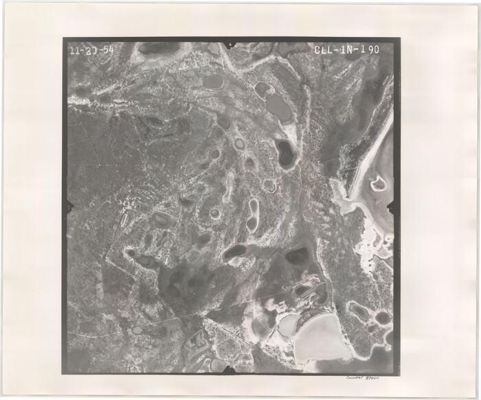

Print $20.00
- Digital $50.00
Flight Mission No. CLL-1N, Frame 190, Willacy County
1954
Size 18.5 x 22.2 inches
Map/Doc 87060
Harris County Rolled Sketch 92
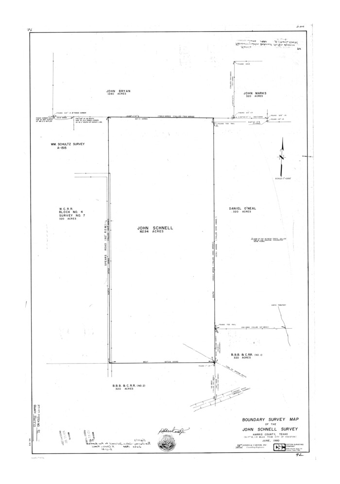

Print $20.00
- Digital $50.00
Harris County Rolled Sketch 92
1980
Size 40.1 x 28.1 inches
Map/Doc 6132
Van Zandt County Working Sketch 11
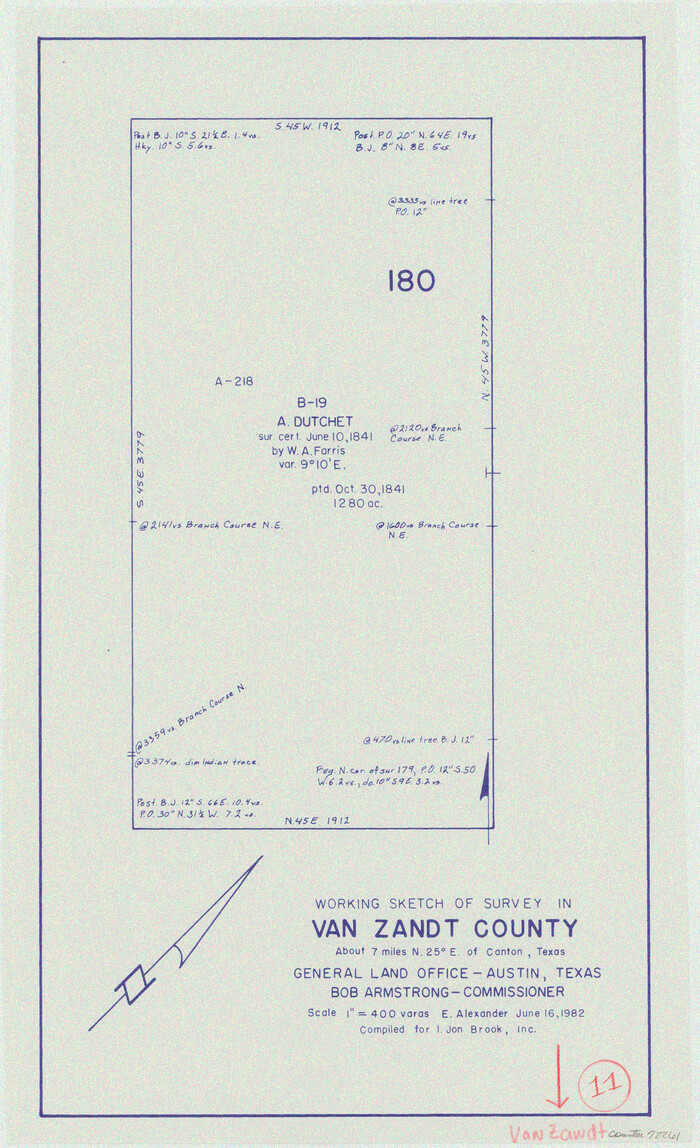

Print $20.00
- Digital $50.00
Van Zandt County Working Sketch 11
1982
Size 15.2 x 9.3 inches
Map/Doc 72261
El Paso County Sketch File 1

Print $48.00
- Digital $50.00
El Paso County Sketch File 1
1849
Size 8.9 x 8.2 inches
Map/Doc 21883
Runnels County Working Sketch 19
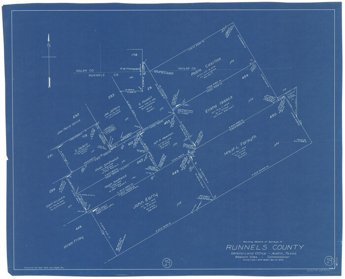

Print $20.00
- Digital $50.00
Runnels County Working Sketch 19
1950
Size 24.9 x 30.8 inches
Map/Doc 63615
Flight Mission No. BQR-14K, Frame 37, Brazoria County
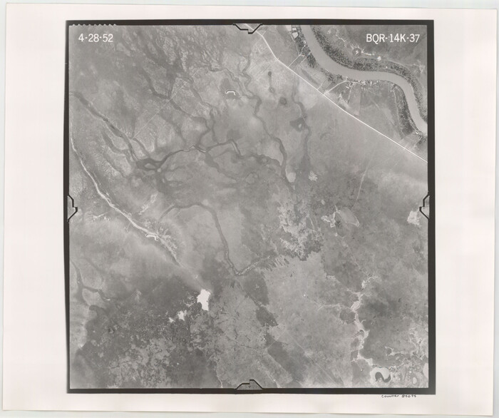

Print $20.00
- Digital $50.00
Flight Mission No. BQR-14K, Frame 37, Brazoria County
1952
Size 18.6 x 22.2 inches
Map/Doc 84094
Callahan County Sketch File 10 1/2
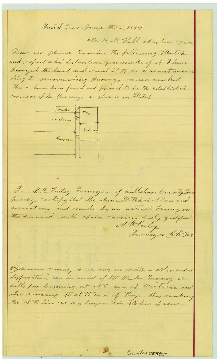

Print $4.00
- Digital $50.00
Callahan County Sketch File 10 1/2
1889
Size 14.4 x 8.7 inches
Map/Doc 35885
Erath County Working Sketch 51
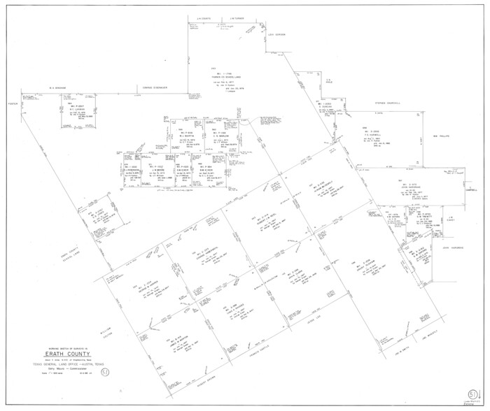

Print $20.00
- Digital $50.00
Erath County Working Sketch 51
1986
Size 38.3 x 45.6 inches
Map/Doc 69133
Jones County Sketch File 3
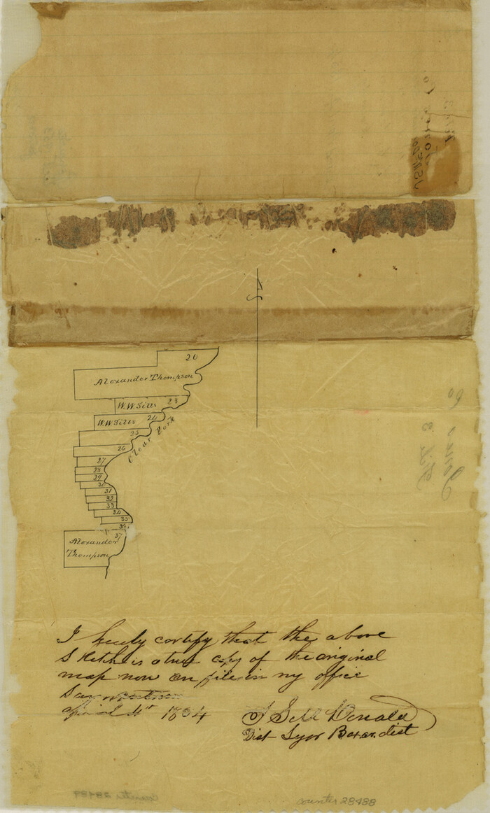

Print $4.00
- Digital $50.00
Jones County Sketch File 3
1854
Size 13.3 x 8.0 inches
Map/Doc 28488
[Beaumont, Sour Lake and Western Ry. Right of Way and Alignment - Frisco]
![64118, [Beaumont, Sour Lake and Western Ry. Right of Way and Alignment - Frisco], General Map Collection](https://historictexasmaps.com/wmedia_w700/maps/64118.tif.jpg)
![64118, [Beaumont, Sour Lake and Western Ry. Right of Way and Alignment - Frisco], General Map Collection](https://historictexasmaps.com/wmedia_w700/maps/64118.tif.jpg)
Print $20.00
- Digital $50.00
[Beaumont, Sour Lake and Western Ry. Right of Way and Alignment - Frisco]
1910
Size 20.1 x 46.1 inches
Map/Doc 64118
Lavaca County Sketch File 6
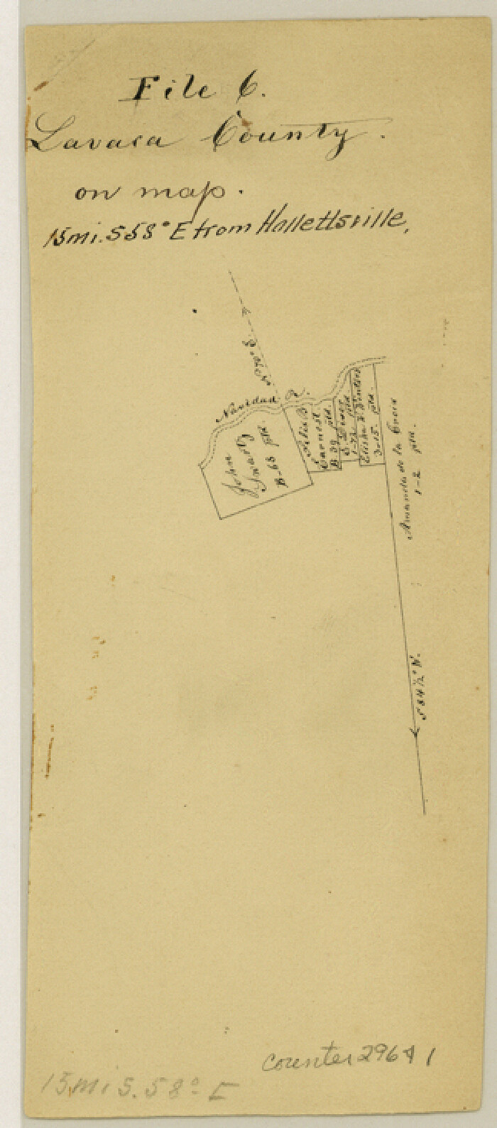

Print $2.00
- Digital $50.00
Lavaca County Sketch File 6
Size 7.3 x 3.2 inches
Map/Doc 29641
Coke County Working Sketch 1


Print $20.00
- Digital $50.00
Coke County Working Sketch 1
Size 16.3 x 36.2 inches
Map/Doc 68038
![89812, [G. & M. Block O, M. B. & A. Block N, PSL Blocks B-19 and B-29 showing alleged vacancy], Twichell Survey Records](https://historictexasmaps.com/wmedia_w1800h1800/maps/89812-1.tif.jpg)
