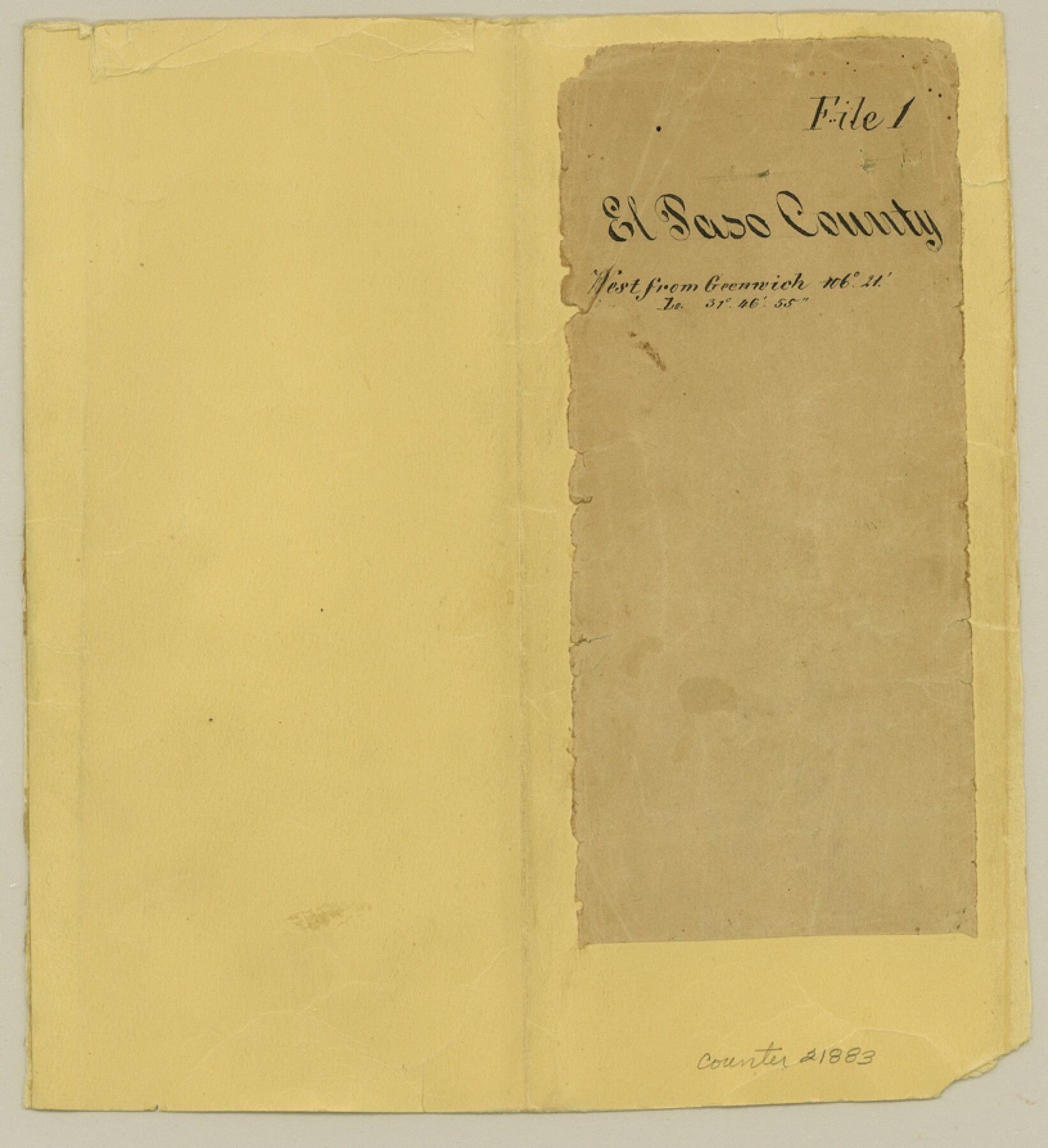
El Paso County Sketch File 1
[Report of surveys, correspondence, field notes regarding L. D. Criswell and L. H. Thompson, et al]
-
Map/Doc
21883
-
Collection
General Map Collection
-
Object Dates
1849/12/27 (Creation Date)
1850 (Survey Date)
1849 (Survey Date)
1853/3/25 (Survey Date)
1854/2/4 (Survey Date)
1888 (Survey Date)
-
People and Organizations
Robert B. Hays (Surveyor/Engineer)
W.M. Locke (Surveyor/Engineer)
J.W. Eubank (Surveyor/Engineer)
W.L. Diffenderffer (Surveyor/Engineer)
L.H. Thompson (Surveyor/Engineer)
L.D. Criswell (Surveyor/Engineer)
Wm. Bonner (Chainman)
Pelijio Garcia (Chainman)
Sebastian Orosco (Chainman)
Pablo Ramires (Chainman)
-
Counties
El Paso
-
Subjects
Surveying Sketch File
-
Height x Width
8.9 x 8.2 inches
22.6 x 20.8 cm
-
Medium
paper, manuscript
-
Features
Paso del Norte to Santa Fe Road
Yrigoyen Ford on Rio Grande
Paso Del Norte Crossing
Santa Fe and Chihuahua Road
Rio Grande
Santa Fe Crossing
Franklin
Santa Fe Road
Paso del Norte Road
Ponce Ford
El Paso
El Paso
Paso del Norte
Maggoffinsville
Rio Viejo
Yrigoyen Crossing
Santa Fe and Chihuahua Ford
Part of: General Map Collection
Runnels County Sketch File 26

Print $20.00
Runnels County Sketch File 26
1949
Size 20.0 x 18.8 inches
Map/Doc 12260
Culberson County Working Sketch 77

Print $20.00
- Digital $50.00
Culberson County Working Sketch 77
1975
Size 36.7 x 43.3 inches
Map/Doc 68531
Bee County Sketch File 17

Print $4.00
- Digital $50.00
Bee County Sketch File 17
1878
Size 7.9 x 9.9 inches
Map/Doc 14301
Bell County Sketch File 5

Print $4.00
- Digital $50.00
Bell County Sketch File 5
1849
Size 12.9 x 8.5 inches
Map/Doc 14371
Topographical Map of the Rio Grande, Sheet No. 13

Print $20.00
- Digital $50.00
Topographical Map of the Rio Grande, Sheet No. 13
1912
Map/Doc 89537
Railroad Track Map, T&PRRCo., Culberson County, Texas

Print $4.00
- Digital $50.00
Railroad Track Map, T&PRRCo., Culberson County, Texas
1910
Size 11.8 x 18.5 inches
Map/Doc 62827
Jefferson County NRC Article 33.136 Location Key Sheet

Print $20.00
- Digital $50.00
Jefferson County NRC Article 33.136 Location Key Sheet
1970
Size 27.0 x 23.0 inches
Map/Doc 82995
McMullen County Working Sketch 48

Print $20.00
- Digital $50.00
McMullen County Working Sketch 48
1983
Size 27.7 x 19.1 inches
Map/Doc 70749
Montague County Working Sketch 34

Print $20.00
- Digital $50.00
Montague County Working Sketch 34
1979
Size 20.3 x 15.0 inches
Map/Doc 71100
Menard County Working Sketch 27

Print $20.00
- Digital $50.00
Menard County Working Sketch 27
1962
Size 38.2 x 43.8 inches
Map/Doc 70974
Atascosa County Sketch File 13

Print $4.00
- Digital $50.00
Atascosa County Sketch File 13
1867
Size 12.8 x 8.2 inches
Map/Doc 13771
Tyler County Rolled Sketch 6

Print $40.00
- Digital $50.00
Tyler County Rolled Sketch 6
1956
Size 76.1 x 43.2 inches
Map/Doc 10029
You may also like
Lavaca County Sketch File 8

Print $6.00
- Digital $50.00
Lavaca County Sketch File 8
1882
Size 10.7 x 10.3 inches
Map/Doc 29644
McLennan County

Print $20.00
- Digital $50.00
McLennan County
1872
Size 16.3 x 21.9 inches
Map/Doc 3863
Flight Mission No. CUG-1P, Frame 84, Kleberg County

Print $20.00
- Digital $50.00
Flight Mission No. CUG-1P, Frame 84, Kleberg County
1956
Size 18.4 x 22.3 inches
Map/Doc 86149
McMullen County Sketch File 26

Print $20.00
- Digital $50.00
McMullen County Sketch File 26
1884
Size 14.7 x 19.8 inches
Map/Doc 12060
Motley County Sketch File 7 (S)

Print $4.00
- Digital $50.00
Motley County Sketch File 7 (S)
Size 8.1 x 9.6 inches
Map/Doc 32149
Burleson County Working Sketch 39

Print $20.00
- Digital $50.00
Burleson County Working Sketch 39
1985
Size 15.3 x 18.7 inches
Map/Doc 67758
Galveston County Rolled Sketch 25

Print $20.00
- Digital $50.00
Galveston County Rolled Sketch 25
1965
Size 18.7 x 24.5 inches
Map/Doc 5959
Calhoun County Boundary File 3

Print $8.00
- Digital $50.00
Calhoun County Boundary File 3
Size 11.3 x 8.7 inches
Map/Doc 50975
Sterling County Rolled Sketch 24

Print $20.00
- Digital $50.00
Sterling County Rolled Sketch 24
Size 25.8 x 19.6 inches
Map/Doc 7850
Franklin County Boundary File 2

Print $60.00
- Digital $50.00
Franklin County Boundary File 2
Size 26.1 x 13.2 inches
Map/Doc 53573
[Lubbock County Block S and vicinity]
![91321, [Lubbock County Block S and vicinity], Twichell Survey Records](https://historictexasmaps.com/wmedia_w700/maps/91321-1.tif.jpg)
Print $20.00
- Digital $50.00
[Lubbock County Block S and vicinity]
Size 15.1 x 15.8 inches
Map/Doc 91321
Working Sketch Bastrop County

Print $20.00
- Digital $50.00
Working Sketch Bastrop County
1923
Size 17.0 x 13.1 inches
Map/Doc 90145