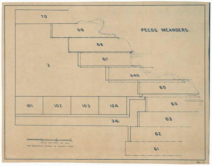
[Sketch of "B" Blocks]
52-10
-
Map/Doc
89749
-
Collection
Twichell Survey Records
-
Counties
Crane Ward
-
Height x Width
61.7 x 38.1 inches
156.7 x 96.8 cm
Part of: Twichell Survey Records
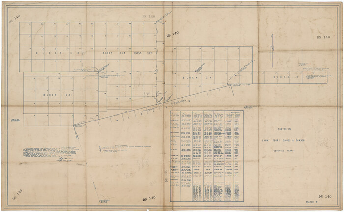
Sketch in Lynn, Terry, Gaines & Dawson Counties, Texas

Print $40.00
- Digital $50.00
Sketch in Lynn, Terry, Gaines & Dawson Counties, Texas
1940
Size 52.5 x 32.6 inches
Map/Doc 89685
[Mrs. Adair Resurvey]
![89976, [Mrs. Adair Resurvey], Twichell Survey Records](https://historictexasmaps.com/wmedia_w700/maps/89976-1.tif.jpg)
![89976, [Mrs. Adair Resurvey], Twichell Survey Records](https://historictexasmaps.com/wmedia_w700/maps/89976-1.tif.jpg)
Print $20.00
- Digital $50.00
[Mrs. Adair Resurvey]
1918
Size 36.5 x 27.4 inches
Map/Doc 89976
[Blocks B15, B8, B22]
![91981, [Blocks B15, B8, B22], Twichell Survey Records](https://historictexasmaps.com/wmedia_w700/maps/91981-1.tif.jpg)
![91981, [Blocks B15, B8, B22], Twichell Survey Records](https://historictexasmaps.com/wmedia_w700/maps/91981-1.tif.jpg)
Print $20.00
- Digital $50.00
[Blocks B15, B8, B22]
Size 22.9 x 9.9 inches
Map/Doc 91981
Sketch showing the Fred Turner surveys in Pecos County, Texas


Print $20.00
- Digital $50.00
Sketch showing the Fred Turner surveys in Pecos County, Texas
1928
Size 28.9 x 36.0 inches
Map/Doc 91590
[Leagues 7, 8, 9, and 10]
![92216, [Leagues 7, 8, 9, and 10], Twichell Survey Records](https://historictexasmaps.com/wmedia_w700/maps/92216-1.tif.jpg)
![92216, [Leagues 7, 8, 9, and 10], Twichell Survey Records](https://historictexasmaps.com/wmedia_w700/maps/92216-1.tif.jpg)
Print $20.00
- Digital $50.00
[Leagues 7, 8, 9, and 10]
Size 38.3 x 26.2 inches
Map/Doc 92216
[Surveys on the south side of the Canadian River]
![91788, [Surveys on the south side of the Canadian River], Twichell Survey Records](https://historictexasmaps.com/wmedia_w700/maps/91788-1.tif.jpg)
![91788, [Surveys on the south side of the Canadian River], Twichell Survey Records](https://historictexasmaps.com/wmedia_w700/maps/91788-1.tif.jpg)
Print $3.00
- Digital $50.00
[Surveys on the south side of the Canadian River]
Size 11.2 x 15.9 inches
Map/Doc 91788
[Sections 1-21, H. & G. N. Block 11]
![93116, [Sections 1-21, H. & G. N. Block 11], Twichell Survey Records](https://historictexasmaps.com/wmedia_w700/maps/93116-1.tif.jpg)
![93116, [Sections 1-21, H. & G. N. Block 11], Twichell Survey Records](https://historictexasmaps.com/wmedia_w700/maps/93116-1.tif.jpg)
Print $20.00
- Digital $50.00
[Sections 1-21, H. & G. N. Block 11]
Size 31.3 x 42.8 inches
Map/Doc 93116
[Block 1 and surrounding blocks]
![90755, [Block 1 and surrounding blocks], Twichell Survey Records](https://historictexasmaps.com/wmedia_w700/maps/90755-1.tif.jpg)
![90755, [Block 1 and surrounding blocks], Twichell Survey Records](https://historictexasmaps.com/wmedia_w700/maps/90755-1.tif.jpg)
Print $20.00
- Digital $50.00
[Block 1 and surrounding blocks]
1903
Size 18.8 x 19.8 inches
Map/Doc 90755
[George Gentry, Wm. Williams, and surrounding surveys]
![90973, [George Gentry, Wm. Williams, and surrounding surveys], Twichell Survey Records](https://historictexasmaps.com/wmedia_w700/maps/90973-1.tif.jpg)
![90973, [George Gentry, Wm. Williams, and surrounding surveys], Twichell Survey Records](https://historictexasmaps.com/wmedia_w700/maps/90973-1.tif.jpg)
Print $2.00
- Digital $50.00
[George Gentry, Wm. Williams, and surrounding surveys]
Size 8.3 x 12.6 inches
Map/Doc 90973
You may also like
Lipscomb County Rolled Sketch 4


Print $40.00
- Digital $50.00
Lipscomb County Rolled Sketch 4
Size 100.5 x 22.4 inches
Map/Doc 9450
Kerr County Working Sketch 15

Print $20.00
- Digital $50.00
Kerr County Working Sketch 15
1953
Size 36.2 x 38.6 inches
Map/Doc 70046
Pecos County Rolled Sketch 146


Print $20.00
- Digital $50.00
Pecos County Rolled Sketch 146
Size 40.8 x 32.5 inches
Map/Doc 9734
Hidalgo County Rolled Sketch 14


Print $40.00
- Digital $50.00
Hidalgo County Rolled Sketch 14
1963
Size 68.5 x 40.7 inches
Map/Doc 9169
Flight Mission No. CRC-5R, Frame 19, Chambers County


Print $20.00
- Digital $50.00
Flight Mission No. CRC-5R, Frame 19, Chambers County
1956
Size 18.8 x 22.4 inches
Map/Doc 84941
Goliad County Sketch File 28


Print $20.00
- Digital $50.00
Goliad County Sketch File 28
Size 18.9 x 15.5 inches
Map/Doc 11569
Kenedy County Rolled Sketch 10

Print $20.00
- Digital $50.00
Kenedy County Rolled Sketch 10
1915
Size 21.7 x 35.7 inches
Map/Doc 6470
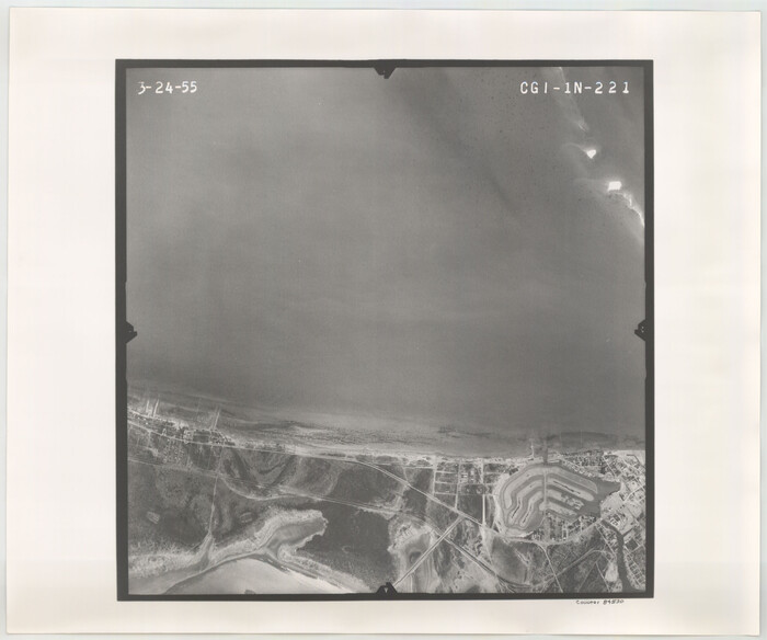
Flight Mission No. CGI-1N, Frame 221, Cameron County

Print $20.00
- Digital $50.00
Flight Mission No. CGI-1N, Frame 221, Cameron County
1955
Size 18.5 x 22.2 inches
Map/Doc 84530
Perspective Map of the City of Laredo, Texas, the Gateway to and from Mexico


Print $20.00
Perspective Map of the City of Laredo, Texas, the Gateway to and from Mexico
1892
Size 22.1 x 34.2 inches
Map/Doc 89098
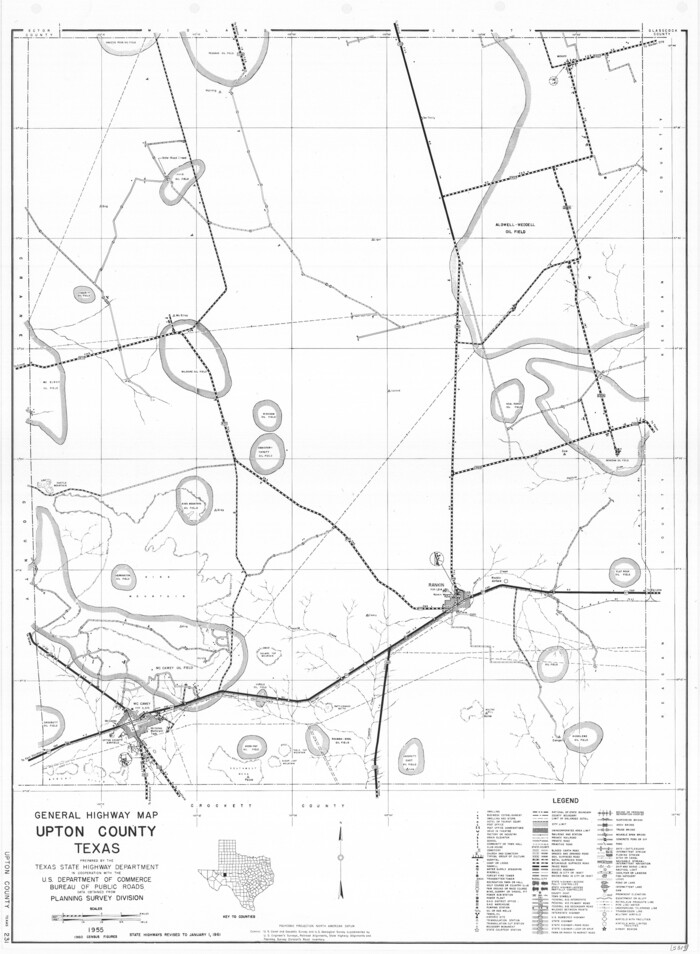
General Highway Map, Upton County, Texas

Print $20.00
General Highway Map, Upton County, Texas
1961
Size 24.7 x 18.1 inches
Map/Doc 79693
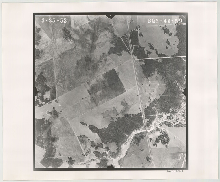
Flight Mission No. BQY-4M, Frame 59, Harris County

Print $20.00
- Digital $50.00
Flight Mission No. BQY-4M, Frame 59, Harris County
1953
Size 18.5 x 22.3 inches
Map/Doc 85268
A Compleat Map of the West Indies, containing the Coasts of Florida, Louisiana, New Spain, and Terra Firma: with all the Islands


Print $20.00
- Digital $50.00
A Compleat Map of the West Indies, containing the Coasts of Florida, Louisiana, New Spain, and Terra Firma: with all the Islands
1774
Size 13.9 x 19.0 inches
Map/Doc 97400
![89749, [Sketch of "B" Blocks], Twichell Survey Records](https://historictexasmaps.com/wmedia_w1800h1800/maps/89749-1.tif.jpg)
![90567, [Block M], Twichell Survey Records](https://historictexasmaps.com/wmedia_w700/maps/90567-1.tif.jpg)
