Kenedy County Rolled Sketch 10
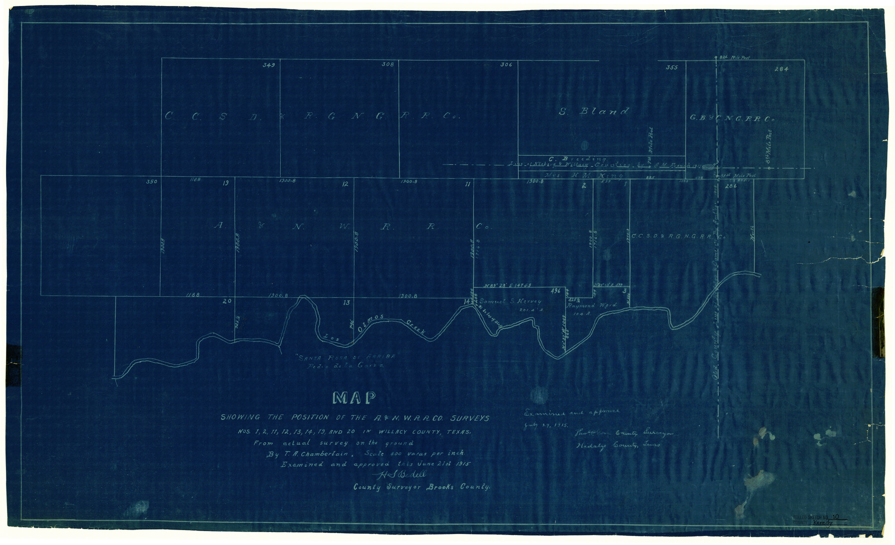
Map showing the position of the A. & N. W. R.R. Co. surveys nos. 1, 2, 11, 12, 13, 14, 19, and 20 in Willacy County, Texas from actual surveys on the ground
-
Map/Doc
6470
-
Collection
General Map Collection
-
Object Dates
6/21/1915 (Creation Date)
-
People and Organizations
T.A. Chamberlain (Surveyor/Engineer)
-
Counties
Kleberg
-
Subjects
Surveying Rolled Sketch
-
Height x Width
21.7 x 35.7 inches
55.1 x 90.7 cm
-
Medium
blueprint/diazo
-
Scale
1" = 400 varas
Part of: General Map Collection
Map of Shackelford County

Print $20.00
- Digital $50.00
Map of Shackelford County
1895
Size 24.1 x 19.5 inches
Map/Doc 4026
Schleicher County Working Sketch 3

Print $20.00
- Digital $50.00
Schleicher County Working Sketch 3
1914
Size 23.2 x 17.6 inches
Map/Doc 63805
Flight Mission No. DQO-8K, Frame 87, Galveston County

Print $20.00
- Digital $50.00
Flight Mission No. DQO-8K, Frame 87, Galveston County
1952
Size 18.6 x 22.4 inches
Map/Doc 85189
Pecos County Rolled Sketch 179

Print $20.00
- Digital $50.00
Pecos County Rolled Sketch 179
1980
Size 28.0 x 28.2 inches
Map/Doc 7299
Williamson County Sketch File 20

Print $4.00
- Digital $50.00
Williamson County Sketch File 20
Size 8.2 x 12.9 inches
Map/Doc 40348
Reagan County Working Sketch 48

Print $20.00
- Digital $50.00
Reagan County Working Sketch 48
1987
Size 31.6 x 46.1 inches
Map/Doc 71891
Real County Working Sketch 15

Print $20.00
- Digital $50.00
Real County Working Sketch 15
1940
Size 17.7 x 22.3 inches
Map/Doc 71907
Houston County

Print $20.00
- Digital $50.00
Houston County
1859
Size 26.9 x 25.0 inches
Map/Doc 3682
Van Zandt County Sketch File 46

Print $2.00
- Digital $50.00
Van Zandt County Sketch File 46
Size 8.0 x 12.7 inches
Map/Doc 39503
Polk County Sketch File 4

Print $4.00
- Digital $50.00
Polk County Sketch File 4
1859
Size 10.2 x 8.0 inches
Map/Doc 34126
Map of Hunt County

Print $20.00
- Digital $50.00
Map of Hunt County
1851
Size 25.1 x 18.7 inches
Map/Doc 3690
Flight Mission No. BRA-16M, Frame 102, Jefferson County

Print $20.00
- Digital $50.00
Flight Mission No. BRA-16M, Frame 102, Jefferson County
1953
Size 18.6 x 22.3 inches
Map/Doc 85714
You may also like
Mason County Rolled Sketch 1

Print $20.00
- Digital $50.00
Mason County Rolled Sketch 1
1939
Size 38.3 x 27.2 inches
Map/Doc 6673
Schleicher County Rolled Sketch 9

Print $20.00
- Digital $50.00
Schleicher County Rolled Sketch 9
Size 22.7 x 22.0 inches
Map/Doc 7751
Medina County, Texas

Print $20.00
- Digital $50.00
Medina County, Texas
1879
Size 31.8 x 26.4 inches
Map/Doc 579
Flight Mission No. DCL-6C, Frame 70, Kenedy County

Print $20.00
- Digital $50.00
Flight Mission No. DCL-6C, Frame 70, Kenedy County
1943
Size 18.6 x 22.3 inches
Map/Doc 85912
Cass County Rolled Sketch 3

Print $20.00
- Digital $50.00
Cass County Rolled Sketch 3
1937
Size 34.9 x 34.6 inches
Map/Doc 8585

Flight Mission No. CRE-1R, Frame 197, Jackson County

Print $20.00
- Digital $50.00
Flight Mission No. CRE-1R, Frame 197, Jackson County
1956
Size 18.5 x 22.4 inches
Map/Doc 85351
Harris County Working Sketch 118

Print $20.00
- Digital $50.00
Harris County Working Sketch 118
1984
Size 24.1 x 34.8 inches
Map/Doc 66010
Guadalupe County Sketch File 8

Print $7.00
- Digital $50.00
Guadalupe County Sketch File 8
1871
Size 10.4 x 8.3 inches
Map/Doc 24674
General Highway Map, Donley County, Texas

Print $20.00
General Highway Map, Donley County, Texas
1961
Size 24.4 x 18.3 inches
Map/Doc 79445
Montague County Working Sketch 12

Print $20.00
- Digital $50.00
Montague County Working Sketch 12
1937
Size 23.3 x 23.8 inches
Map/Doc 71078
Hutchinson County Sketch File 46

Print $50.00
- Digital $50.00
Hutchinson County Sketch File 46
1981
Size 11.2 x 8.7 inches
Map/Doc 27365