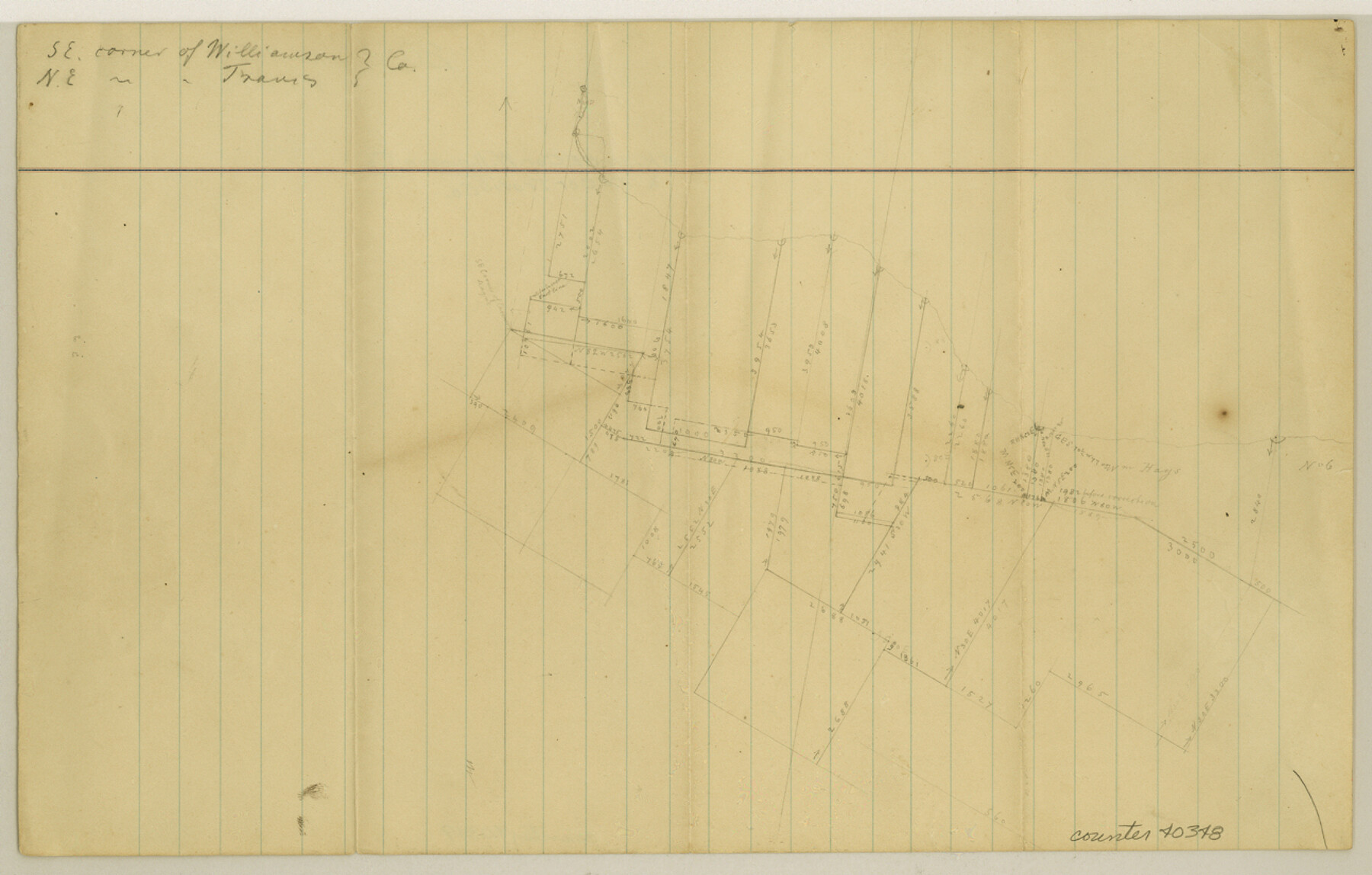
Williamson County Sketch File 20
[Sketch of surveys in the southeast corner of Williamson County and northeast corner of Travis County]
-
Map/Doc
40348
-
Collection
General Map Collection
-
Counties
Williamson Travis
-
Subjects
Surveying Sketch File
-
Height x Width
8.2 x 12.9 inches
20.8 x 32.8 cm
-
Medium
paper, manuscript
Part of: General Map Collection
Presidio County Sketch File 29

Print $20.00
- Digital $50.00
Presidio County Sketch File 29
1890
Size 29.7 x 20.1 inches
Map/Doc 11711
Flight Mission No. DQO-7K, Frame 77, Galveston County

Print $20.00
- Digital $50.00
Flight Mission No. DQO-7K, Frame 77, Galveston County
1952
Size 18.9 x 22.6 inches
Map/Doc 85104
Deaf Smith Co.

Print $40.00
- Digital $50.00
Deaf Smith Co.
1898
Size 37.2 x 48.8 inches
Map/Doc 4930
[F. W. & D. C. Ry. Co. Alignment and Right of Way Map, Clay County]
![64728, [F. W. & D. C. Ry. Co. Alignment and Right of Way Map, Clay County], General Map Collection](https://historictexasmaps.com/wmedia_w700/maps/64728-1.tif.jpg)
Print $20.00
- Digital $50.00
[F. W. & D. C. Ry. Co. Alignment and Right of Way Map, Clay County]
1927
Size 18.8 x 11.7 inches
Map/Doc 64728
Crosby County Sketch File 23

Print $20.00
- Digital $50.00
Crosby County Sketch File 23
1913
Size 15.0 x 27.2 inches
Map/Doc 11254
Liberty County Working Sketch Graphic Index - west part

Print $20.00
- Digital $50.00
Liberty County Working Sketch Graphic Index - west part
1977
Size 45.7 x 34.5 inches
Map/Doc 76619
Erath County Sketch File 20

Print $4.00
- Digital $50.00
Erath County Sketch File 20
1873
Size 9.7 x 8.2 inches
Map/Doc 22300
Flight Mission No. BRA-7M, Frame117, Jefferson County

Print $20.00
- Digital $50.00
Flight Mission No. BRA-7M, Frame117, Jefferson County
1953
Size 18.7 x 22.4 inches
Map/Doc 85511
Flight Mission No. CUG-1P, Frame 103, Kleberg County

Print $20.00
- Digital $50.00
Flight Mission No. CUG-1P, Frame 103, Kleberg County
1956
Size 18.5 x 22.6 inches
Map/Doc 86153
[Sketch for Mineral Application 20124, North Fork of Red River]
![2828, [Sketch for Mineral Application 20124, North Fork of Red River], General Map Collection](https://historictexasmaps.com/wmedia_w700/maps/2828.tif.jpg)
Print $20.00
- Digital $50.00
[Sketch for Mineral Application 20124, North Fork of Red River]
1943
Size 18.8 x 25.8 inches
Map/Doc 2828
Liberty County Sketch File 62

Print $8.00
- Digital $50.00
Liberty County Sketch File 62
1953
Size 14.1 x 8.7 inches
Map/Doc 30083

You may also like
[I. & G. N. Block 1, sections 57-70]
![89833, [I. & G. N. Block 1, sections 57-70], Twichell Survey Records](https://historictexasmaps.com/wmedia_w700/maps/89833-1.tif.jpg)
Print $20.00
- Digital $50.00
[I. & G. N. Block 1, sections 57-70]
Size 42.0 x 36.5 inches
Map/Doc 89833
Throckmorton County Sketch File 12

Print $20.00
- Digital $50.00
Throckmorton County Sketch File 12
Size 16.2 x 22.3 inches
Map/Doc 12435
Brewster County Rolled Sketch 114

Print $20.00
- Digital $50.00
Brewster County Rolled Sketch 114
1964
Size 11.4 x 18.4 inches
Map/Doc 5277
Reagan County Sketch File 32

Print $6.00
- Digital $50.00
Reagan County Sketch File 32
1954
Size 11.5 x 9.0 inches
Map/Doc 35025
[Maps of surveys in Reeves & Culberson Cos]
![61139, [Maps of surveys in Reeves & Culberson Cos], General Map Collection](https://historictexasmaps.com/wmedia_w700/maps/61139.tif.jpg)
Print $20.00
- Digital $50.00
[Maps of surveys in Reeves & Culberson Cos]
1937
Size 30.7 x 24.7 inches
Map/Doc 61139
[Blocks K3-K8, K11]
![90507, [Blocks K3-K8, K11], Twichell Survey Records](https://historictexasmaps.com/wmedia_w700/maps/90507-1.tif.jpg)
Print $20.00
- Digital $50.00
[Blocks K3-K8, K11]
1887
Size 13.2 x 14.6 inches
Map/Doc 90507
Fractional Township No. 10 South Range No. 10 East of the Indian Meridian, Indian Territory

Print $20.00
- Digital $50.00
Fractional Township No. 10 South Range No. 10 East of the Indian Meridian, Indian Territory
1898
Size 19.3 x 24.3 inches
Map/Doc 75218
Uvalde County Working Sketch 63

Print $20.00
- Digital $50.00
Uvalde County Working Sketch 63
1995
Size 26.8 x 42.0 inches
Map/Doc 72133
Surveys on the Coleto Creek, Goliad County

Print $20.00
- Digital $50.00
Surveys on the Coleto Creek, Goliad County
1841
Size 13.8 x 14.9 inches
Map/Doc 10
Travis County Sketch File 4A

Print $8.00
- Digital $50.00
Travis County Sketch File 4A
1855
Size 8.4 x 11.2 inches
Map/Doc 38280
Dallas County Sketch File 3

Print $20.00
- Digital $50.00
Dallas County Sketch File 3
1855
Size 22.4 x 14.0 inches
Map/Doc 11282
Intracoastal Waterway in Texas - Corpus Christi to Point Isabel including Arroyo Colorado to Mo. Pac. R.R. Bridge Near Harlingen

Print $20.00
- Digital $50.00
Intracoastal Waterway in Texas - Corpus Christi to Point Isabel including Arroyo Colorado to Mo. Pac. R.R. Bridge Near Harlingen
1933
Size 27.8 x 40.9 inches
Map/Doc 61864