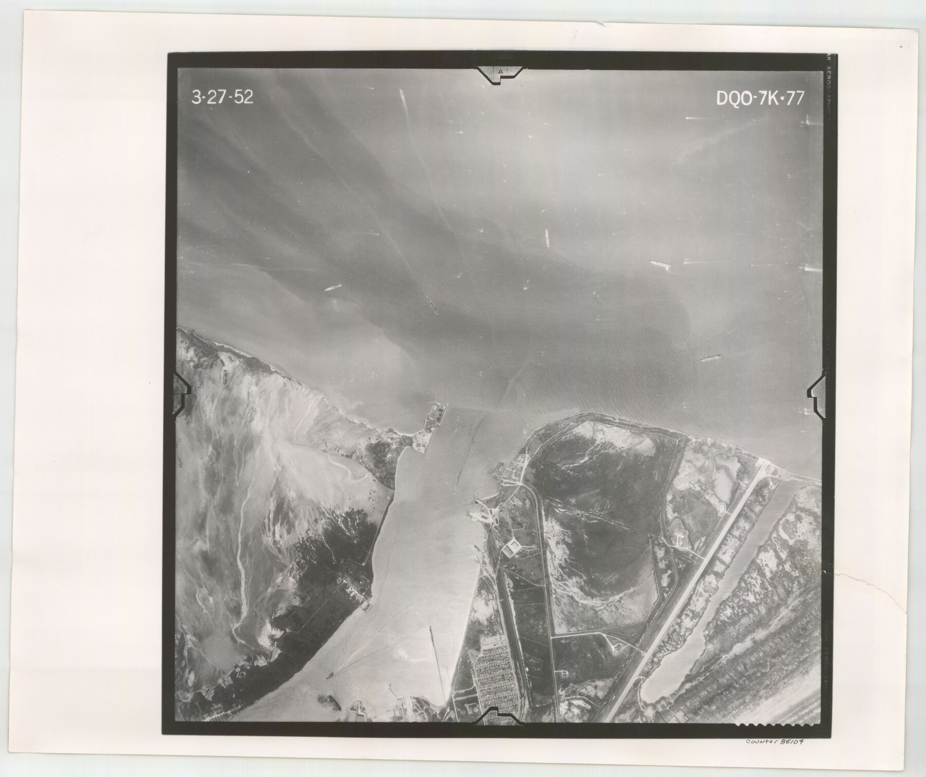
Flight Mission No. DQO-7K, Frame 77, Galveston County
DQO-7K-77
-
Map/Doc
85104
-
Collection
General Map Collection
-
Object Dates
1952/3/27 (Creation Date)
-
People and Organizations
U. S. Department of Agriculture (Publisher)
-
Counties
Galveston
-
Subjects
Aerial Photograph
-
Height x Width
18.9 x 22.6 inches
48.0 x 57.4 cm
-
Comments
Flown by Aero Exploration Company of Tulsa, Oklahoma.
Part of: General Map Collection
Plan of the C. C. S. D. & R. G. N. G. R.R.

Print $20.00
- Digital $50.00
Plan of the C. C. S. D. & R. G. N. G. R.R.
1878
Size 14.3 x 40.9 inches
Map/Doc 64481
Flight Mission No. DQN-7K, Frame 5, Calhoun County

Print $20.00
- Digital $50.00
Flight Mission No. DQN-7K, Frame 5, Calhoun County
1953
Size 18.5 x 19.1 inches
Map/Doc 84456
Brazos River, Brazos River Sheet 7

Print $6.00
- Digital $50.00
Brazos River, Brazos River Sheet 7
1926
Size 24.1 x 30.6 inches
Map/Doc 65300
Map of the Mississippi River from its Source to the Mouth of the Missouri

Print $20.00
- Digital $50.00
Map of the Mississippi River from its Source to the Mouth of the Missouri
1810
Size 10.4 x 31.3 inches
Map/Doc 95153
Milam County Working Sketch 4

Print $20.00
- Digital $50.00
Milam County Working Sketch 4
1954
Size 26.1 x 32.4 inches
Map/Doc 71019

Flight Mission No. DIX-10P, Frame 75, Aransas County

Print $20.00
- Digital $50.00
Flight Mission No. DIX-10P, Frame 75, Aransas County
1956
Size 18.6 x 22.3 inches
Map/Doc 83936
Map of Burnet County

Print $20.00
- Digital $50.00
Map of Burnet County
1876
Size 24.5 x 21.3 inches
Map/Doc 3352
Dallas County

Print $20.00
- Digital $50.00
Dallas County
1942
Size 45.5 x 38.0 inches
Map/Doc 16954
Rio Grande Rectification Project, El Paso and Juarez Valley

Print $20.00
- Digital $50.00
Rio Grande Rectification Project, El Paso and Juarez Valley
1935
Size 10.7 x 29.5 inches
Map/Doc 60869
San Augustine County Rolled Sketch 3

Print $20.00
- Digital $50.00
San Augustine County Rolled Sketch 3
1969
Size 21.5 x 29.0 inches
Map/Doc 7555
Flight Mission No. CRC-3R, Frame 202, Chambers County

Print $20.00
- Digital $50.00
Flight Mission No. CRC-3R, Frame 202, Chambers County
1956
Size 18.7 x 22.4 inches
Map/Doc 84857
You may also like
Township No. 4 South Range No. 14 West of the Indian Meridian

Print $4.00
- Digital $50.00
Township No. 4 South Range No. 14 West of the Indian Meridian
1875
Size 18.0 x 22.4 inches
Map/Doc 75144
Nueces County

Print $20.00
- Digital $50.00
Nueces County
1913
Size 25.9 x 34.9 inches
Map/Doc 73252
Oyster Creek, Texas showing connection with Brazos River & Oyster Bay by the Galveston & Brazos Canal for a Light Draft Navigation

Print $40.00
- Digital $50.00
Oyster Creek, Texas showing connection with Brazos River & Oyster Bay by the Galveston & Brazos Canal for a Light Draft Navigation
Size 18.0 x 52.9 inches
Map/Doc 96562
McLennan County Sketch File 16

Print $4.00
- Digital $50.00
McLennan County Sketch File 16
1873
Size 12.7 x 8.2 inches
Map/Doc 31276
Terrell County Rolled Sketch 43

Print $20.00
- Digital $50.00
Terrell County Rolled Sketch 43
1950
Size 27.5 x 36.4 inches
Map/Doc 7946
Crane County Working Sketch 33

Print $20.00
- Digital $50.00
Crane County Working Sketch 33
1985
Size 30.3 x 27.6 inches
Map/Doc 68310
Austin Empresario Colony. March 27, 1827

Print $20.00
Austin Empresario Colony. March 27, 1827
2020
Size 18.0 x 21.6 inches
Map/Doc 95980
Hopkins County Sketch File 3

Print $4.00
- Digital $50.00
Hopkins County Sketch File 3
Size 10.0 x 8.1 inches
Map/Doc 26685
Railroad Track Map, H&TCRRCo., Falls County, Texas

Print $4.00
- Digital $50.00
Railroad Track Map, H&TCRRCo., Falls County, Texas
1918
Size 11.6 x 18.6 inches
Map/Doc 62848
Flight Mission No. BQY-4M, Frame 68, Harris County

Print $20.00
- Digital $50.00
Flight Mission No. BQY-4M, Frame 68, Harris County
1953
Size 18.6 x 22.4 inches
Map/Doc 85277
Rusk County Working Sketch 25

Print $20.00
- Digital $50.00
Rusk County Working Sketch 25
1941
Size 39.8 x 25.1 inches
Map/Doc 63661
Hutchinson County Rolled Sketch 10

Print $20.00
- Digital $50.00
Hutchinson County Rolled Sketch 10
Size 33.6 x 29.7 inches
Map/Doc 6281