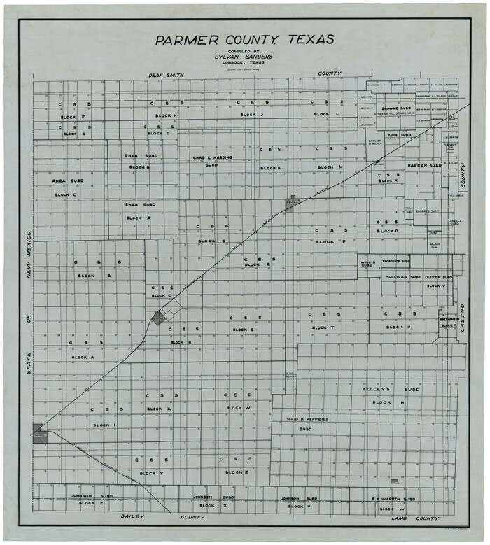
Jno. W. Pritchett Preliminary Official LO Map for Lubbock [County]
-
Map/Doc
89901
-
Collection
Twichell Survey Records
-
Counties
Lubbock
-
Height x Width
41.1 x 40.3 inches
104.4 x 102.4 cm
Part of: Twichell Survey Records
[Capitol Leagues 225-238]
![90676, [Capitol Leagues 225-238], Twichell Survey Records](https://historictexasmaps.com/wmedia_w700/maps/90676-1.tif.jpg)
![90676, [Capitol Leagues 225-238], Twichell Survey Records](https://historictexasmaps.com/wmedia_w700/maps/90676-1.tif.jpg)
Print $20.00
- Digital $50.00
[Capitol Leagues 225-238]
Size 23.1 x 13.6 inches
Map/Doc 90676
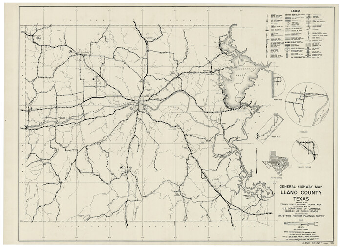
General Highway Map Llano County Texas

Print $20.00
- Digital $50.00
General Highway Map Llano County Texas
1953
Size 17.1 x 12.5 inches
Map/Doc 92883
[H. & T. C. Blocks 3 and 4; G. H. & S. A Blocks 2, 4, and 12; D. & P. Block 3]
![91027, [H. & T. C. Blocks 3 and 4; G. H. & S. A Blocks 2, 4, and 12; D. & P. Block 3], Twichell Survey Records](https://historictexasmaps.com/wmedia_w700/maps/91027-1.tif.jpg)
![91027, [H. & T. C. Blocks 3 and 4; G. H. & S. A Blocks 2, 4, and 12; D. & P. Block 3], Twichell Survey Records](https://historictexasmaps.com/wmedia_w700/maps/91027-1.tif.jpg)
Print $20.00
- Digital $50.00
[H. & T. C. Blocks 3 and 4; G. H. & S. A Blocks 2, 4, and 12; D. & P. Block 3]
Size 44.6 x 36.3 inches
Map/Doc 91027
[Townships 1 & 2, Blocks 53, 54 & 55]
![92952, [Townships 1 & 2, Blocks 53, 54 & 55], Twichell Survey Records](https://historictexasmaps.com/wmedia_w700/maps/92952-1.tif.jpg)
![92952, [Townships 1 & 2, Blocks 53, 54 & 55], Twichell Survey Records](https://historictexasmaps.com/wmedia_w700/maps/92952-1.tif.jpg)
Print $20.00
- Digital $50.00
[Townships 1 & 2, Blocks 53, 54 & 55]
Size 34.3 x 20.0 inches
Map/Doc 92952
[Block 28, Showing Edwards Ranch]
![91499, [Block 28, Showing Edwards Ranch], Twichell Survey Records](https://historictexasmaps.com/wmedia_w700/maps/91499-1.tif.jpg)
![91499, [Block 28, Showing Edwards Ranch], Twichell Survey Records](https://historictexasmaps.com/wmedia_w700/maps/91499-1.tif.jpg)
Print $3.00
- Digital $50.00
[Block 28, Showing Edwards Ranch]
Size 17.0 x 8.9 inches
Map/Doc 91499
Tech Memorial Park, Inc. Section Q


Print $20.00
- Digital $50.00
Tech Memorial Park, Inc. Section Q
Size 34.8 x 21.2 inches
Map/Doc 92357
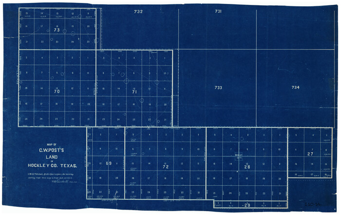
Map of C. W. Post's Land in Hockley County, Texas

Print $20.00
- Digital $50.00
Map of C. W. Post's Land in Hockley County, Texas
Size 24.7 x 15.7 inches
Map/Doc 91095
University of Texas System University Lands


Print $20.00
- Digital $50.00
University of Texas System University Lands
Size 17.9 x 23.3 inches
Map/Doc 93244
Famous Heights Park Addition, Map Showing Proposed Park and Plan of Subdividing Famous Heights Plus Park, Addition to the city of Amarillo, Texas


Print $40.00
- Digital $50.00
Famous Heights Park Addition, Map Showing Proposed Park and Plan of Subdividing Famous Heights Plus Park, Addition to the city of Amarillo, Texas
1907
Size 62.5 x 37.4 inches
Map/Doc 93117
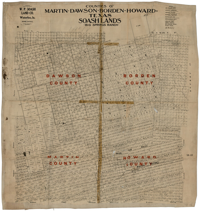
Counties of Martin, Dawson, Borden, Howard, Texas, Soash Lands, Big Spring Ranch

Print $20.00
- Digital $50.00
Counties of Martin, Dawson, Borden, Howard, Texas, Soash Lands, Big Spring Ranch
Size 34.7 x 36.9 inches
Map/Doc 93006
Map of Liberty County
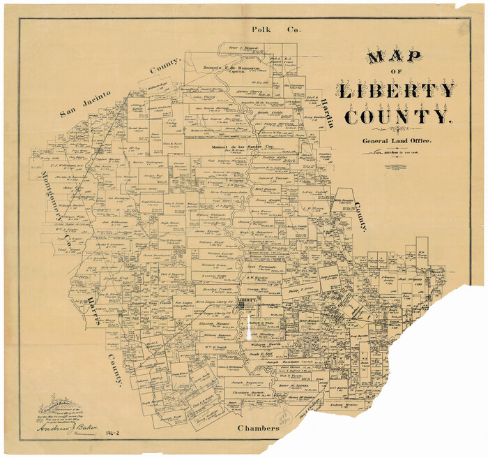

Print $20.00
- Digital $50.00
Map of Liberty County
Size 27.6 x 26.2 inches
Map/Doc 91079
You may also like
Colorado County Working Sketch 15


Print $40.00
- Digital $50.00
Colorado County Working Sketch 15
1949
Size 31.4 x 63.3 inches
Map/Doc 68115
Crockett County Sketch File 79a
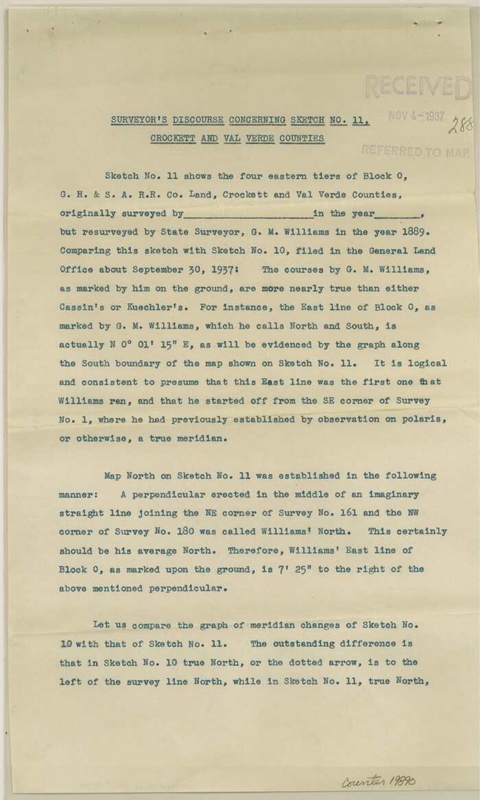

Print $6.00
- Digital $50.00
Crockett County Sketch File 79a
1937
Size 14.2 x 8.5 inches
Map/Doc 19890
Culberson County Rolled Sketch 33
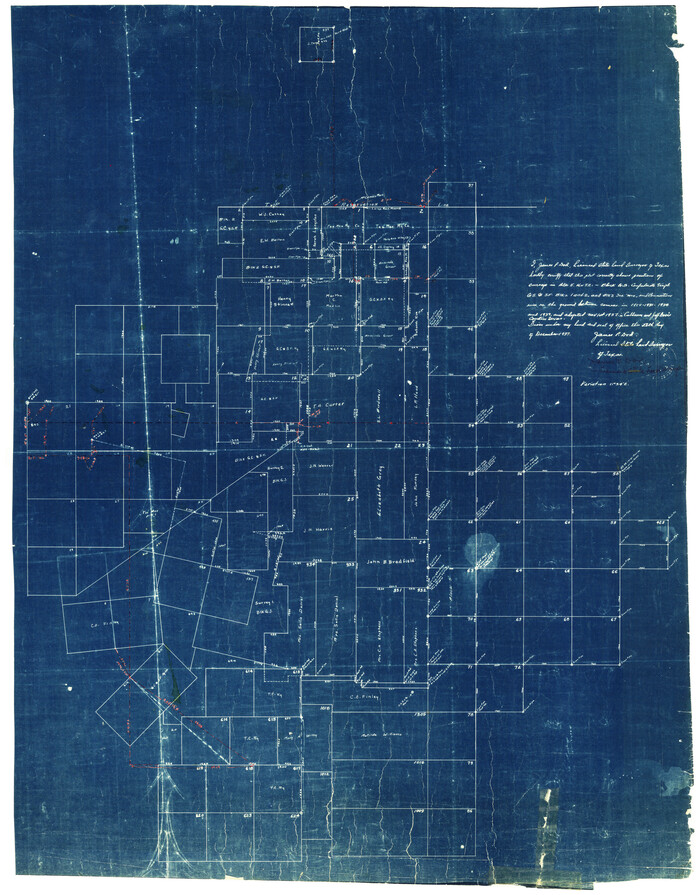

Print $20.00
- Digital $50.00
Culberson County Rolled Sketch 33
1937
Size 36.4 x 27.9 inches
Map/Doc 5658
The Brownsville District of the Famous Lower Rio Grande Valley - The Texas Tropics


The Brownsville District of the Famous Lower Rio Grande Valley - The Texas Tropics
1920
Map/Doc 96732
Mason County Rolled Sketch 3
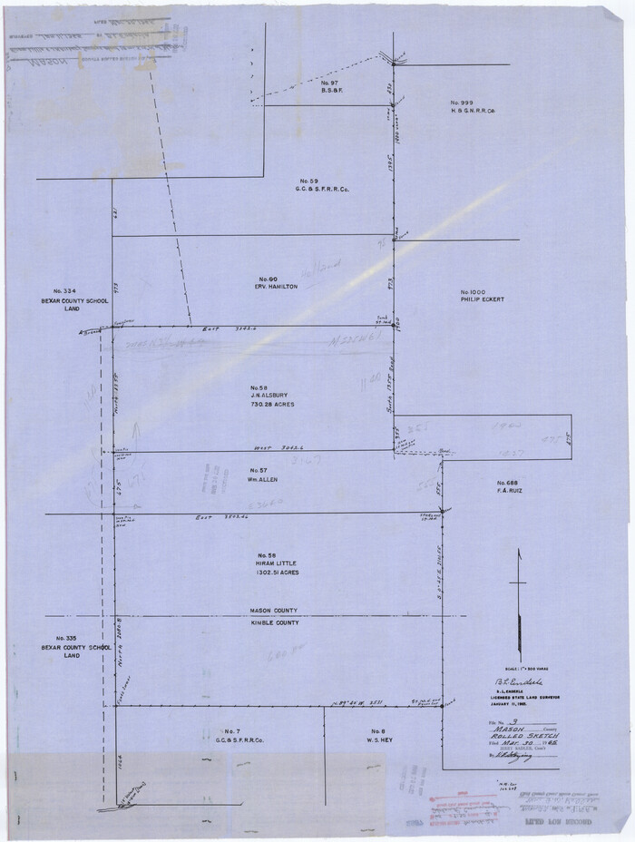

Print $20.00
- Digital $50.00
Mason County Rolled Sketch 3
1965
Size 30.3 x 22.8 inches
Map/Doc 6676
Mason County Sketch File 9
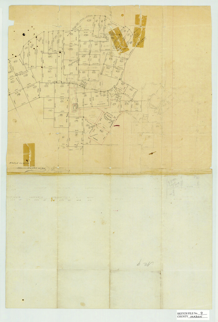

Print $20.00
- Digital $50.00
Mason County Sketch File 9
1880
Size 20.5 x 13.9 inches
Map/Doc 12034
Coast Chart No. 210 Aransas Pass and Corpus Christi Bay with the coast to latitude 27° 12' Texas
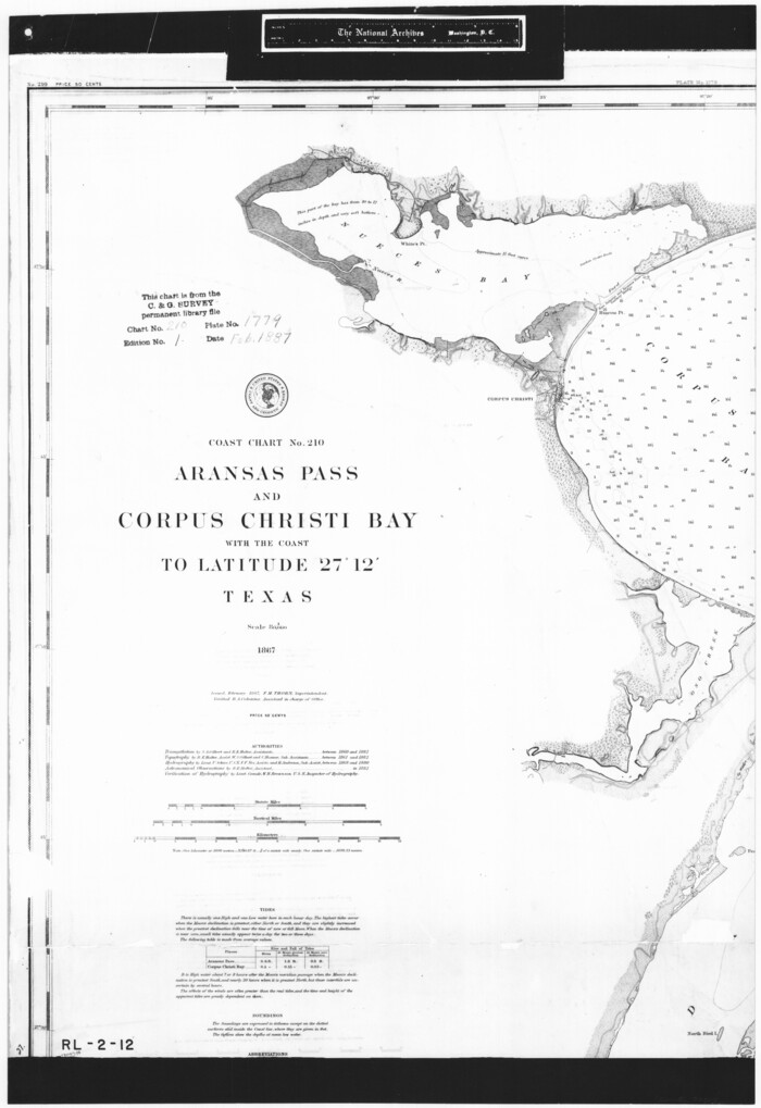

Print $20.00
- Digital $50.00
Coast Chart No. 210 Aransas Pass and Corpus Christi Bay with the coast to latitude 27° 12' Texas
1887
Size 26.6 x 18.3 inches
Map/Doc 72809
Calhoun County Rolled Sketch 6


Print $20.00
- Digital $50.00
Calhoun County Rolled Sketch 6
Size 24.0 x 22.5 inches
Map/Doc 5362
Flight Mission No. BRA-9M, Frame 68, Jefferson County
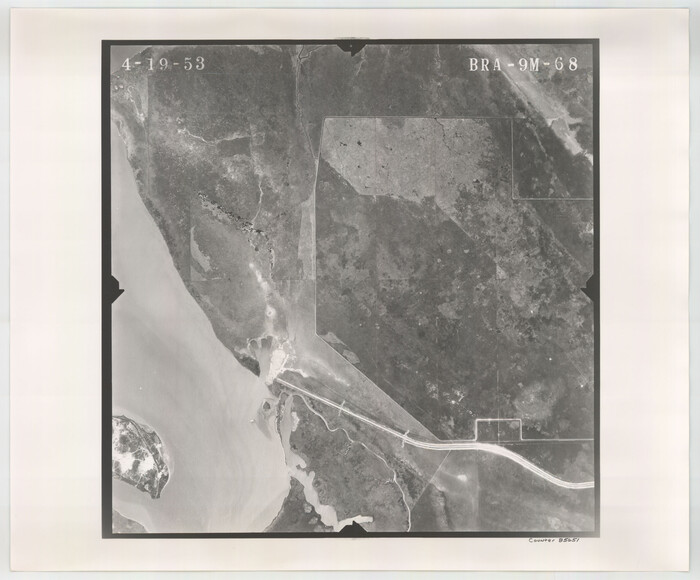

Print $20.00
- Digital $50.00
Flight Mission No. BRA-9M, Frame 68, Jefferson County
1953
Size 18.7 x 22.5 inches
Map/Doc 85651
Mason County Rolled Sketch 1


Print $20.00
- Digital $50.00
Mason County Rolled Sketch 1
1940
Size 21.2 x 24.9 inches
Map/Doc 6674
General Highway Map, San Augustine County, Texas


Print $20.00
General Highway Map, San Augustine County, Texas
1940
Size 24.8 x 18.3 inches
Map/Doc 79235
![89901, Jno. W. Pritchett Preliminary Official LO Map for Lubbock [County], Twichell Survey Records](https://historictexasmaps.com/wmedia_w1800h1800/maps/89901-1.tif.jpg)
