[Area around Edwin Harry survey 475, Chas. H. Smith survey 105 and A. M Fuqua survey 463]
37-4
-
Map/Doc
90423
-
Collection
Twichell Survey Records
-
Counties
Cherokee
-
Height x Width
21.0 x 15.6 inches
53.3 x 39.6 cm
Part of: Twichell Survey Records
[USGS Topo Quad map of Shafter Sheet, Presidio County]
![91754, [USGS Topo Quad map of Shafter Sheet, Presidio County], Twichell Survey Records](https://historictexasmaps.com/wmedia_w700/maps/91754-1.tif.jpg)
![91754, [USGS Topo Quad map of Shafter Sheet, Presidio County], Twichell Survey Records](https://historictexasmaps.com/wmedia_w700/maps/91754-1.tif.jpg)
Print $20.00
- Digital $50.00
[USGS Topo Quad map of Shafter Sheet, Presidio County]
1895
Size 16.9 x 20.5 inches
Map/Doc 91754
[School Leagues 245-260, 320-322, 325]
![91342, [School Leagues 245-260, 320-322, 325], Twichell Survey Records](https://historictexasmaps.com/wmedia_w700/maps/91342-1.tif.jpg)
![91342, [School Leagues 245-260, 320-322, 325], Twichell Survey Records](https://historictexasmaps.com/wmedia_w700/maps/91342-1.tif.jpg)
Print $20.00
- Digital $50.00
[School Leagues 245-260, 320-322, 325]
Size 23.3 x 41.4 inches
Map/Doc 91342
[John Walker and vicinity]
![90914, [John Walker and vicinity], Twichell Survey Records](https://historictexasmaps.com/wmedia_w700/maps/90914-1.tif.jpg)
![90914, [John Walker and vicinity], Twichell Survey Records](https://historictexasmaps.com/wmedia_w700/maps/90914-1.tif.jpg)
Print $20.00
- Digital $50.00
[John Walker and vicinity]
Size 27.0 x 27.3 inches
Map/Doc 90914
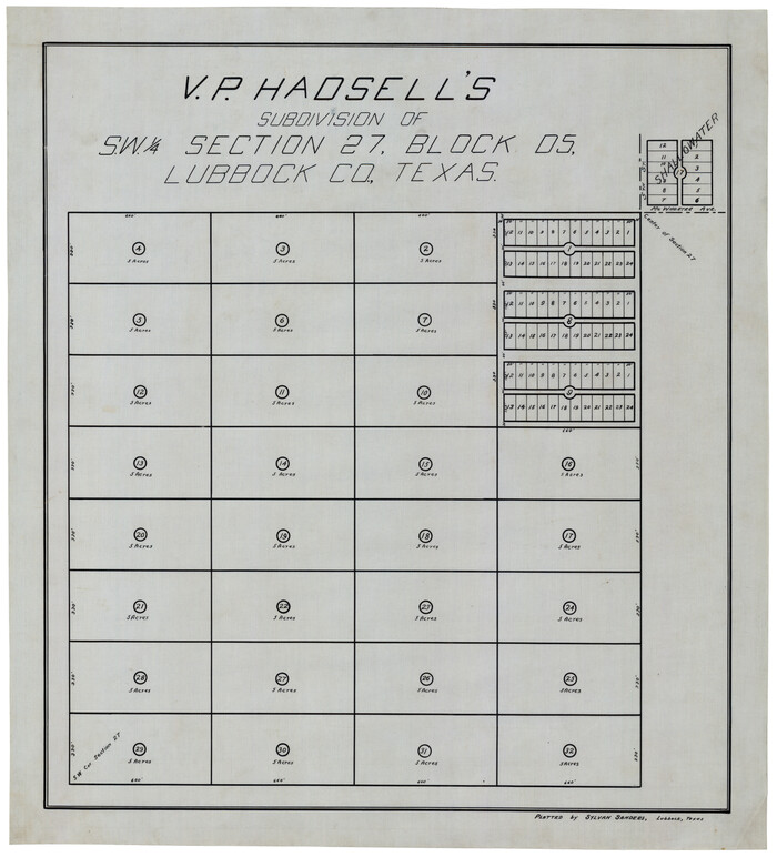
V. P. Hadsell's Subdivision of Southwest Quarter Section 27, Block D5

Print $20.00
- Digital $50.00
V. P. Hadsell's Subdivision of Southwest Quarter Section 27, Block D5
Size 18.4 x 20.0 inches
Map/Doc 92868
[Area around R. H. Hibbett and Geo. W. Lawrence surveys on Elm Fork of the Brazos River]
![90861, [Area around R. H. Hibbett and Geo. W. Lawrence surveys on Elm Fork of the Brazos River], Twichell Survey Records](https://historictexasmaps.com/wmedia_w700/maps/90861-2.tif.jpg)
![90861, [Area around R. H. Hibbett and Geo. W. Lawrence surveys on Elm Fork of the Brazos River], Twichell Survey Records](https://historictexasmaps.com/wmedia_w700/maps/90861-2.tif.jpg)
Print $20.00
- Digital $50.00
[Area around R. H. Hibbett and Geo. W. Lawrence surveys on Elm Fork of the Brazos River]
1901
Size 23.6 x 32.4 inches
Map/Doc 90861
[Blocks G and H, and vicinity]
![92671, [Blocks G and H, and vicinity], Twichell Survey Records](https://historictexasmaps.com/wmedia_w700/maps/92671-1.tif.jpg)
![92671, [Blocks G and H, and vicinity], Twichell Survey Records](https://historictexasmaps.com/wmedia_w700/maps/92671-1.tif.jpg)
Print $20.00
- Digital $50.00
[Blocks G and H, and vicinity]
1915
Size 18.4 x 12.4 inches
Map/Doc 92671
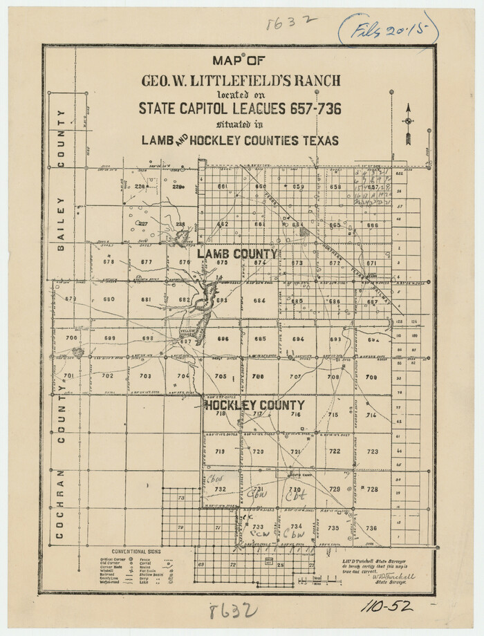
Map of George W. Littlefield's Ranch Located on State Capitol Leagues 657- 736 Situated in Lamb and Hockley Counties

Print $2.00
- Digital $50.00
Map of George W. Littlefield's Ranch Located on State Capitol Leagues 657- 736 Situated in Lamb and Hockley Counties
Size 6.3 x 8.2 inches
Map/Doc 91121
[East line of North Part of Childress County along border with Oklahoma]
![92084, [East line of North Part of Childress County along border with Oklahoma], Twichell Survey Records](https://historictexasmaps.com/wmedia_w700/maps/92084-1.tif.jpg)
![92084, [East line of North Part of Childress County along border with Oklahoma], Twichell Survey Records](https://historictexasmaps.com/wmedia_w700/maps/92084-1.tif.jpg)
Print $20.00
- Digital $50.00
[East line of North Part of Childress County along border with Oklahoma]
Size 20.4 x 6.1 inches
Map/Doc 92084
[Survey 321, Double Lakes Area Northwest of Tohoka]
![91347, [Survey 321, Double Lakes Area Northwest of Tohoka], Twichell Survey Records](https://historictexasmaps.com/wmedia_w700/maps/91347-1.tif.jpg)
![91347, [Survey 321, Double Lakes Area Northwest of Tohoka], Twichell Survey Records](https://historictexasmaps.com/wmedia_w700/maps/91347-1.tif.jpg)
Print $20.00
- Digital $50.00
[Survey 321, Double Lakes Area Northwest of Tohoka]
Size 35.0 x 32.2 inches
Map/Doc 91347
[Block M, Block 35, Township 6 North]
![92634, [Block M, Block 35, Township 6 North], Twichell Survey Records](https://historictexasmaps.com/wmedia_w700/maps/92634-1.tif.jpg)
![92634, [Block M, Block 35, Township 6 North], Twichell Survey Records](https://historictexasmaps.com/wmedia_w700/maps/92634-1.tif.jpg)
Print $20.00
- Digital $50.00
[Block M, Block 35, Township 6 North]
Size 37.5 x 27.3 inches
Map/Doc 92634
University of Texas System University Lands


Print $20.00
- Digital $50.00
University of Texas System University Lands
1931
Size 23.2 x 17.5 inches
Map/Doc 93241
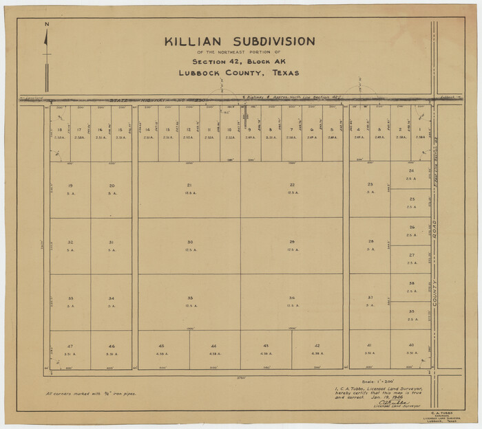
Killian Subdivision of the Northeast Portion of Section 42, Block AK

Print $20.00
- Digital $50.00
Killian Subdivision of the Northeast Portion of Section 42, Block AK
Size 15.9 x 14.1 inches
Map/Doc 92267
You may also like
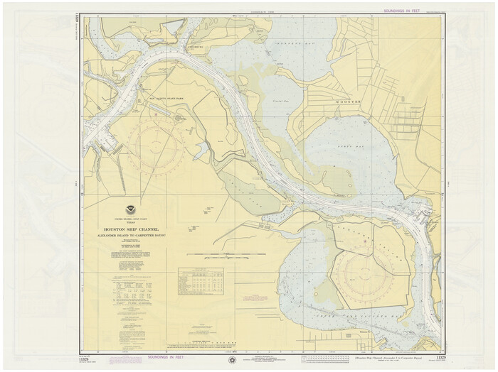
Houston Ship Channel, Alexander Island to Carpenter Bayou

Print $20.00
- Digital $50.00
Houston Ship Channel, Alexander Island to Carpenter Bayou
1975
Size 35.1 x 46.6 inches
Map/Doc 69911
Victoria County Working Sketch 2


Print $20.00
- Digital $50.00
Victoria County Working Sketch 2
1939
Size 43.1 x 28.1 inches
Map/Doc 72272
Ennis, Ellis County, Texas


Print $20.00
- Digital $50.00
Ennis, Ellis County, Texas
1934
Size 34.6 x 22.9 inches
Map/Doc 4826
Flight Mission No. CUG-3P, Frame 138, Kleberg County


Print $20.00
- Digital $50.00
Flight Mission No. CUG-3P, Frame 138, Kleberg County
1956
Size 18.6 x 22.4 inches
Map/Doc 86273
No. 1 - Survey for a road from the Brazo Santiago to the Rio Grande
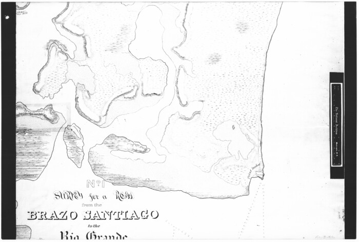

Print $20.00
- Digital $50.00
No. 1 - Survey for a road from the Brazo Santiago to the Rio Grande
1847
Size 18.3 x 27.1 inches
Map/Doc 72877
Brewster County Working Sketch 79


Print $40.00
- Digital $50.00
Brewster County Working Sketch 79
1970
Size 52.8 x 32.6 inches
Map/Doc 67679
The Judicial District/County of Menard. Abolished, Spring 1842
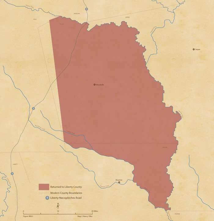

Print $20.00
The Judicial District/County of Menard. Abolished, Spring 1842
2020
Size 22.4 x 21.7 inches
Map/Doc 96337
Hays County Boundary File
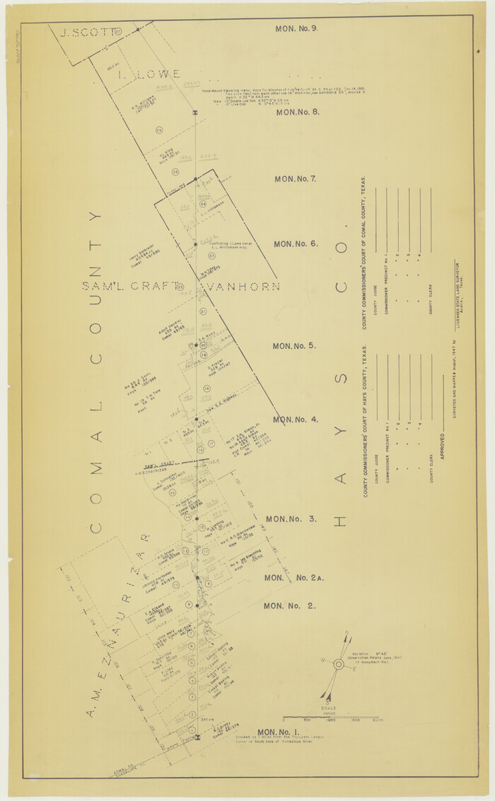

Print $120.00
- Digital $50.00
Hays County Boundary File
1947
Size 33.6 x 20.8 inches
Map/Doc 65496
Parker County Sketch File 9
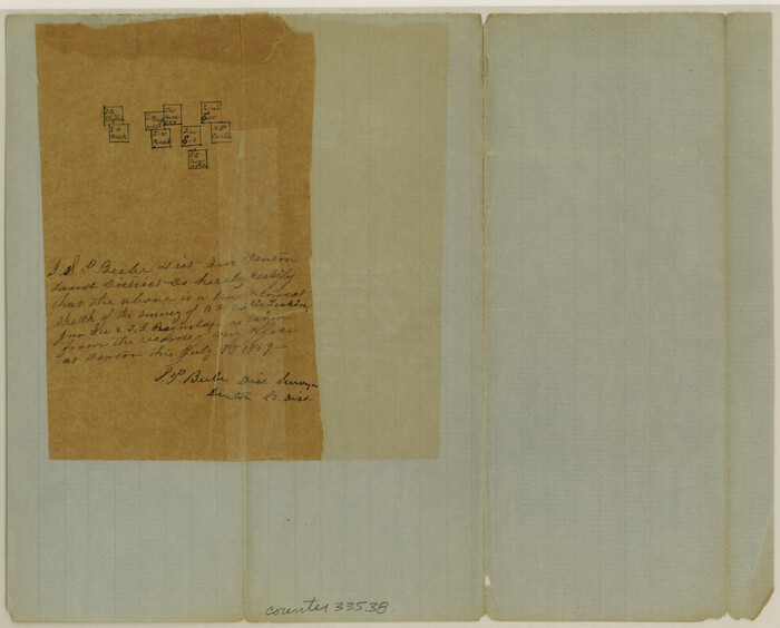

Print $4.00
- Digital $50.00
Parker County Sketch File 9
Size 8.1 x 10.0 inches
Map/Doc 33538
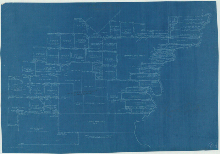
Live Oak County Working Sketch 1

Print $20.00
- Digital $50.00
Live Oak County Working Sketch 1
Size 20.4 x 29.1 inches
Map/Doc 70586
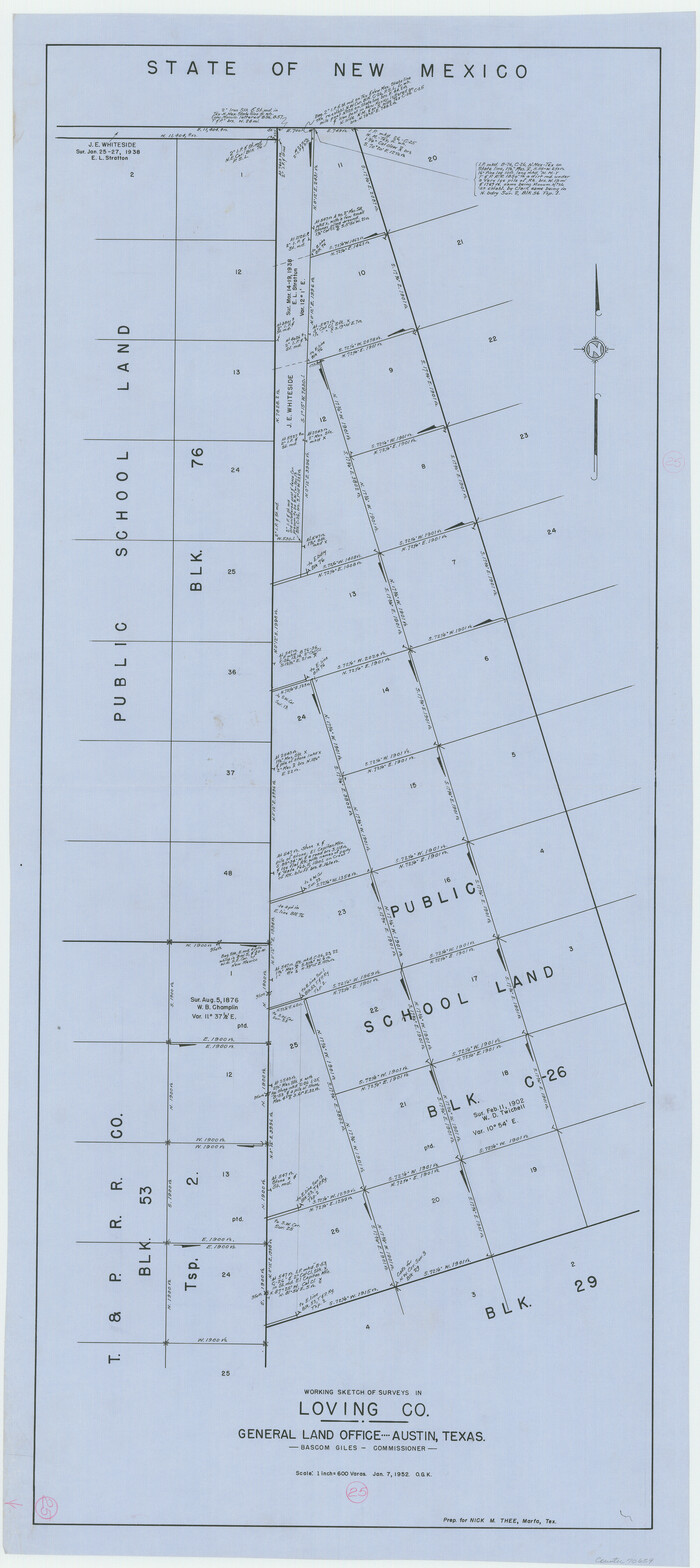
Loving County Working Sketch 25

Print $40.00
- Digital $50.00
Loving County Working Sketch 25
1952
Size 49.6 x 22.1 inches
Map/Doc 70659
Caldwell County Working Sketch 2


Print $3.00
- Digital $50.00
Caldwell County Working Sketch 2
1912
Size 11.2 x 9.1 inches
Map/Doc 67832
![90423, [Area around Edwin Harry survey 475, Chas. H. Smith survey 105 and A. M Fuqua survey 463], Twichell Survey Records](https://historictexasmaps.com/wmedia_w1800h1800/maps/90423-1.tif.jpg)