[Area around R. H. Hibbett and Geo. W. Lawrence surveys on Elm Fork of the Brazos River]
76-3
-
Map/Doc
90861
-
Collection
Twichell Survey Records
-
Object Dates
9/20/1901 (Creation Date)
-
People and Organizations
W.D. Twichell (Surveyor/Engineer)
-
Counties
Fisher
-
Height x Width
23.6 x 32.4 inches
59.9 x 82.3 cm
Part of: Twichell Survey Records
[Sections 29-32 in CRR Block 49, Miguel Tafoya Survey 1 Block MT, and vicinity]
![90667, [Sections 29-32 in CRR Block 49, Miguel Tafoya Survey 1 Block MT, and vicinity], Twichell Survey Records](https://historictexasmaps.com/wmedia_w700/maps/90667-1.tif.jpg)
![90667, [Sections 29-32 in CRR Block 49, Miguel Tafoya Survey 1 Block MT, and vicinity], Twichell Survey Records](https://historictexasmaps.com/wmedia_w700/maps/90667-1.tif.jpg)
Print $20.00
- Digital $50.00
[Sections 29-32 in CRR Block 49, Miguel Tafoya Survey 1 Block MT, and vicinity]
Size 23.4 x 21.0 inches
Map/Doc 90667
[Sketch showing I. & G. N. Block 8]
![91703, [Sketch showing I. & G. N. Block 8], Twichell Survey Records](https://historictexasmaps.com/wmedia_w700/maps/91703-1.tif.jpg)
![91703, [Sketch showing I. & G. N. Block 8], Twichell Survey Records](https://historictexasmaps.com/wmedia_w700/maps/91703-1.tif.jpg)
Print $2.00
- Digital $50.00
[Sketch showing I. & G. N. Block 8]
1919
Size 5.0 x 8.7 inches
Map/Doc 91703
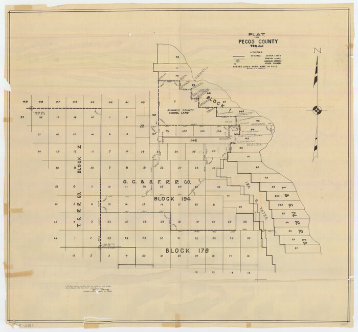
Plat in Pecos County, Texas

Print $20.00
- Digital $50.00
Plat in Pecos County, Texas
Size 39.1 x 36.2 inches
Map/Doc 89830
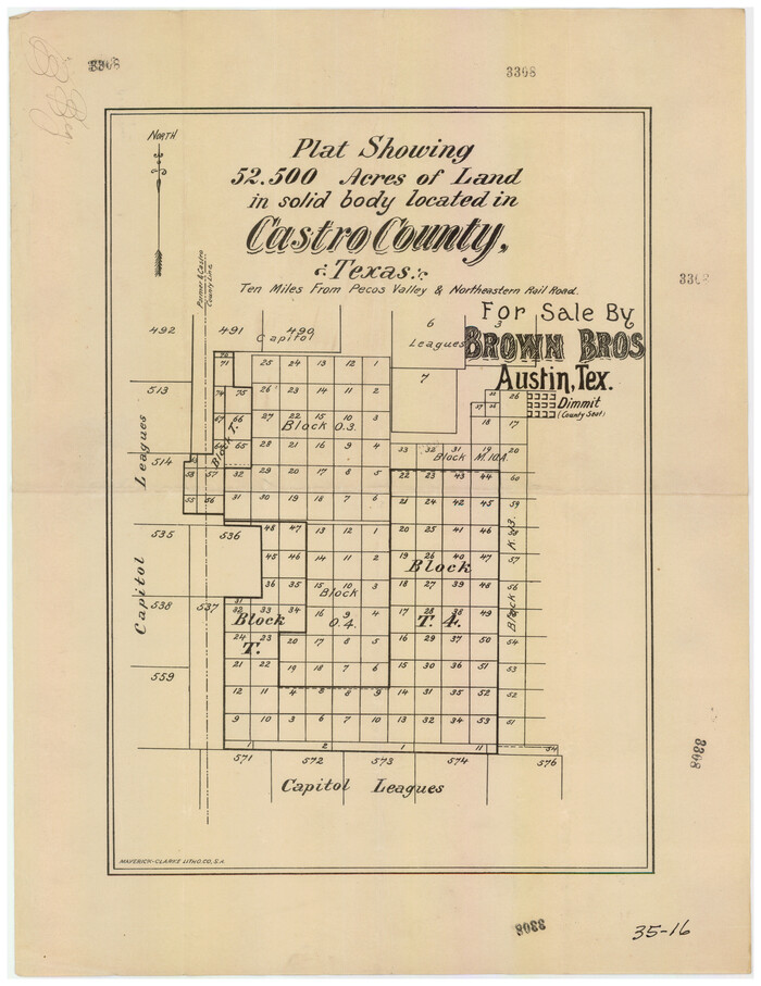
Plat showing 52,500 acres of land in solid body located in Castro County, Texas

Print $20.00
- Digital $50.00
Plat showing 52,500 acres of land in solid body located in Castro County, Texas
Size 13.4 x 17.6 inches
Map/Doc 90404
[H. & G. N. Blocks 1-4 and Blocks C-19, C-20, 54, 55 and 56]
![91781, [H. & G. N. Blocks 1-4 and Blocks C-19, C-20, 54, 55 and 56], Twichell Survey Records](https://historictexasmaps.com/wmedia_w700/maps/91781-1.tif.jpg)
![91781, [H. & G. N. Blocks 1-4 and Blocks C-19, C-20, 54, 55 and 56], Twichell Survey Records](https://historictexasmaps.com/wmedia_w700/maps/91781-1.tif.jpg)
Print $20.00
- Digital $50.00
[H. & G. N. Blocks 1-4 and Blocks C-19, C-20, 54, 55 and 56]
Size 23.3 x 29.3 inches
Map/Doc 91781
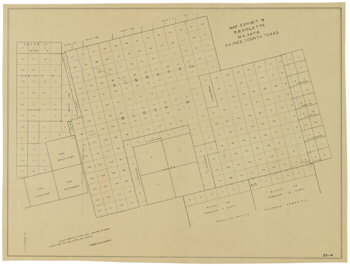
Map Exhibit B, R. B. Violette M. A. 34719, Gaines County, Texas

Print $20.00
- Digital $50.00
Map Exhibit B, R. B. Violette M. A. 34719, Gaines County, Texas
Size 30.0 x 23.0 inches
Map/Doc 90835
[H. & T. C. RR. Company, Block 47 and Vicinity]
![91413, [H. & T. C. RR. Company, Block 47 and Vicinity], Twichell Survey Records](https://historictexasmaps.com/wmedia_w700/maps/91413-1.tif.jpg)
![91413, [H. & T. C. RR. Company, Block 47 and Vicinity], Twichell Survey Records](https://historictexasmaps.com/wmedia_w700/maps/91413-1.tif.jpg)
Print $20.00
- Digital $50.00
[H. & T. C. RR. Company, Block 47 and Vicinity]
Size 18.8 x 13.6 inches
Map/Doc 91413
[Jas. T. Williams Survey]
![91163, [Jas. T. Williams Survey], Twichell Survey Records](https://historictexasmaps.com/wmedia_w700/maps/91163-1.tif.jpg)
![91163, [Jas. T. Williams Survey], Twichell Survey Records](https://historictexasmaps.com/wmedia_w700/maps/91163-1.tif.jpg)
Print $20.00
- Digital $50.00
[Jas. T. Williams Survey]
Size 29.4 x 19.8 inches
Map/Doc 91163
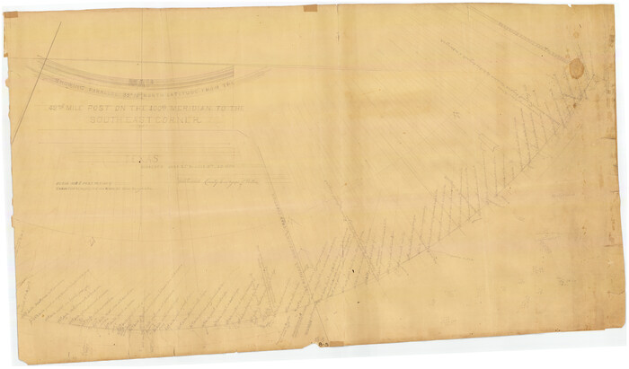
Map Showing Parallel 35°12' North Latitude from the 42nd Mile Post on the 100th Meridian to the Southeast Corner of Texas

Print $20.00
- Digital $50.00
Map Showing Parallel 35°12' North Latitude from the 42nd Mile Post on the 100th Meridian to the Southeast Corner of Texas
1890
Size 46.3 x 27.2 inches
Map/Doc 89839
[E. L. & R. R. RR. Co. Blocks 9 and 10 and surveys to the east]
![90857, [E. L. & R. R. RR. Co. Blocks 9 and 10 and surveys to the east], Twichell Survey Records](https://historictexasmaps.com/wmedia_w700/maps/90857-2.tif.jpg)
![90857, [E. L. & R. R. RR. Co. Blocks 9 and 10 and surveys to the east], Twichell Survey Records](https://historictexasmaps.com/wmedia_w700/maps/90857-2.tif.jpg)
Print $20.00
- Digital $50.00
[E. L. & R. R. RR. Co. Blocks 9 and 10 and surveys to the east]
1903
Size 13.4 x 19.0 inches
Map/Doc 90857
[Topographical Map]
![92543, [Topographical Map], Twichell Survey Records](https://historictexasmaps.com/wmedia_w700/maps/92543-1.tif.jpg)
![92543, [Topographical Map], Twichell Survey Records](https://historictexasmaps.com/wmedia_w700/maps/92543-1.tif.jpg)
Print $20.00
- Digital $50.00
[Topographical Map]
Size 31.2 x 37.5 inches
Map/Doc 92543
Map of XIT Lands, vicinity of Farwell, Texas


Print $20.00
- Digital $50.00
Map of XIT Lands, vicinity of Farwell, Texas
Size 19.6 x 30.8 inches
Map/Doc 91654
You may also like
Kendall County Working Sketch 28
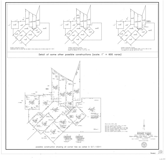

Print $20.00
- Digital $50.00
Kendall County Working Sketch 28
1995
Size 36.0 x 37.2 inches
Map/Doc 70001
Brazoria County Working Sketch 43
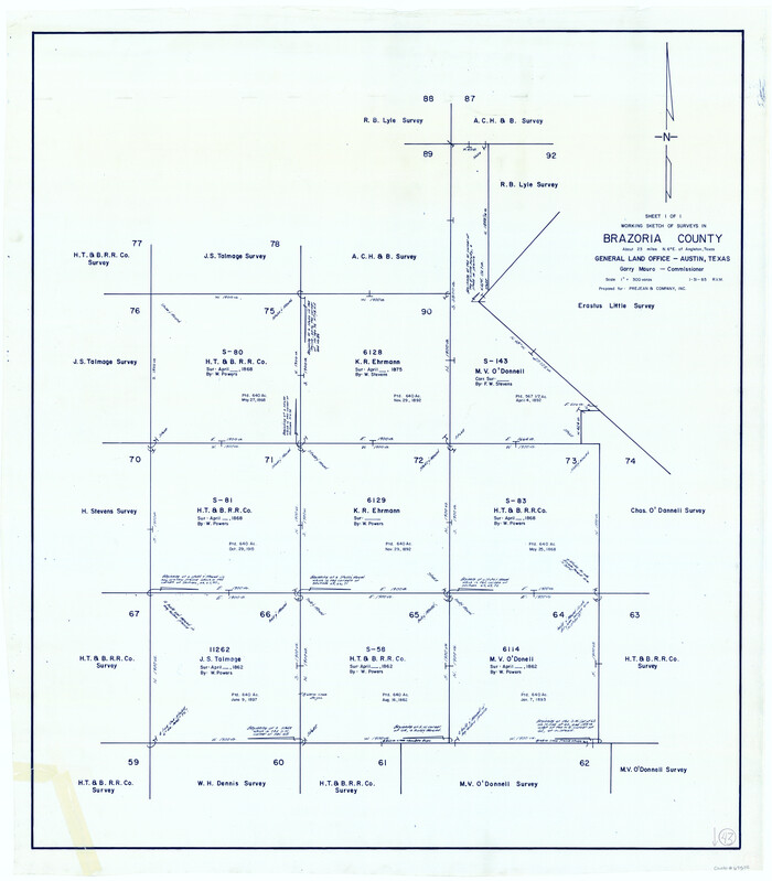

Print $20.00
- Digital $50.00
Brazoria County Working Sketch 43
1985
Size 37.3 x 32.7 inches
Map/Doc 67528
Map of Motley County


Print $20.00
- Digital $50.00
Map of Motley County
1902
Size 43.4 x 37.7 inches
Map/Doc 10799
General Highway Map, Dallas County, Rockwall County, Texas


Print $20.00
General Highway Map, Dallas County, Rockwall County, Texas
1961
Size 18.4 x 24.5 inches
Map/Doc 79430
[West half of county, south of John H. Stephens Block S2]
![92976, [West half of county, south of John H. Stephens Block S2], Twichell Survey Records](https://historictexasmaps.com/wmedia_w700/maps/92976-1.tif.jpg)
![92976, [West half of county, south of John H. Stephens Block S2], Twichell Survey Records](https://historictexasmaps.com/wmedia_w700/maps/92976-1.tif.jpg)
Print $2.00
- Digital $50.00
[West half of county, south of John H. Stephens Block S2]
1912
Size 8.6 x 5.9 inches
Map/Doc 92976
The Republic County of Brazoria. Proposed, Late Fall 1837-January 1, 1838
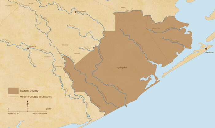

Print $20.00
The Republic County of Brazoria. Proposed, Late Fall 1837-January 1, 1838
2020
Size 13.0 x 21.7 inches
Map/Doc 96110
Matagorda County Sketch File 7b

Print $4.00
- Digital $50.00
Matagorda County Sketch File 7b
1890
Size 14.2 x 8.8 inches
Map/Doc 30744
Oil and Gas Fields in the State of Texas


Print $40.00
Oil and Gas Fields in the State of Texas
1927
Size 58.2 x 38.1 inches
Map/Doc 76303
Dickens County Rolled Sketch 11
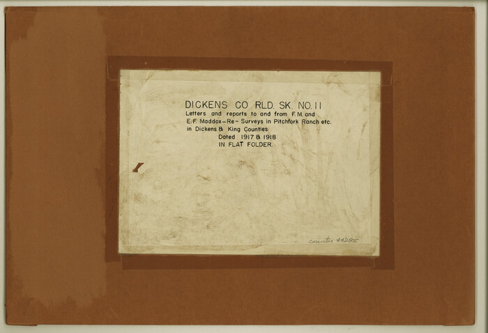

Print $21.00
- Digital $50.00
Dickens County Rolled Sketch 11
1918
Size 10.6 x 15.6 inches
Map/Doc 44285
McMullen County Sketch File 9
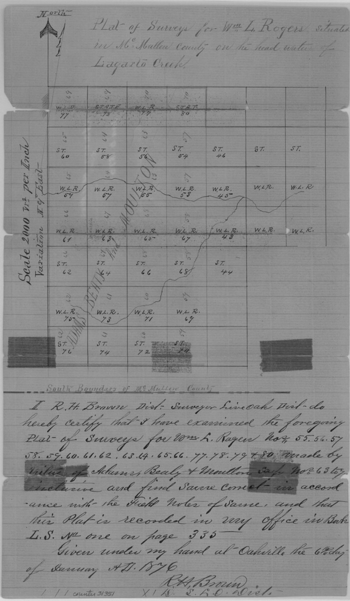

Print $4.00
- Digital $50.00
McMullen County Sketch File 9
1876
Size 14.4 x 8.4 inches
Map/Doc 31351
Harris County Boundary File 40


Print $8.00
- Digital $50.00
Harris County Boundary File 40
Size 14.2 x 8.7 inches
Map/Doc 54370
![90861, [Area around R. H. Hibbett and Geo. W. Lawrence surveys on Elm Fork of the Brazos River], Twichell Survey Records](https://historictexasmaps.com/wmedia_w1800h1800/maps/90861-2.tif.jpg)
