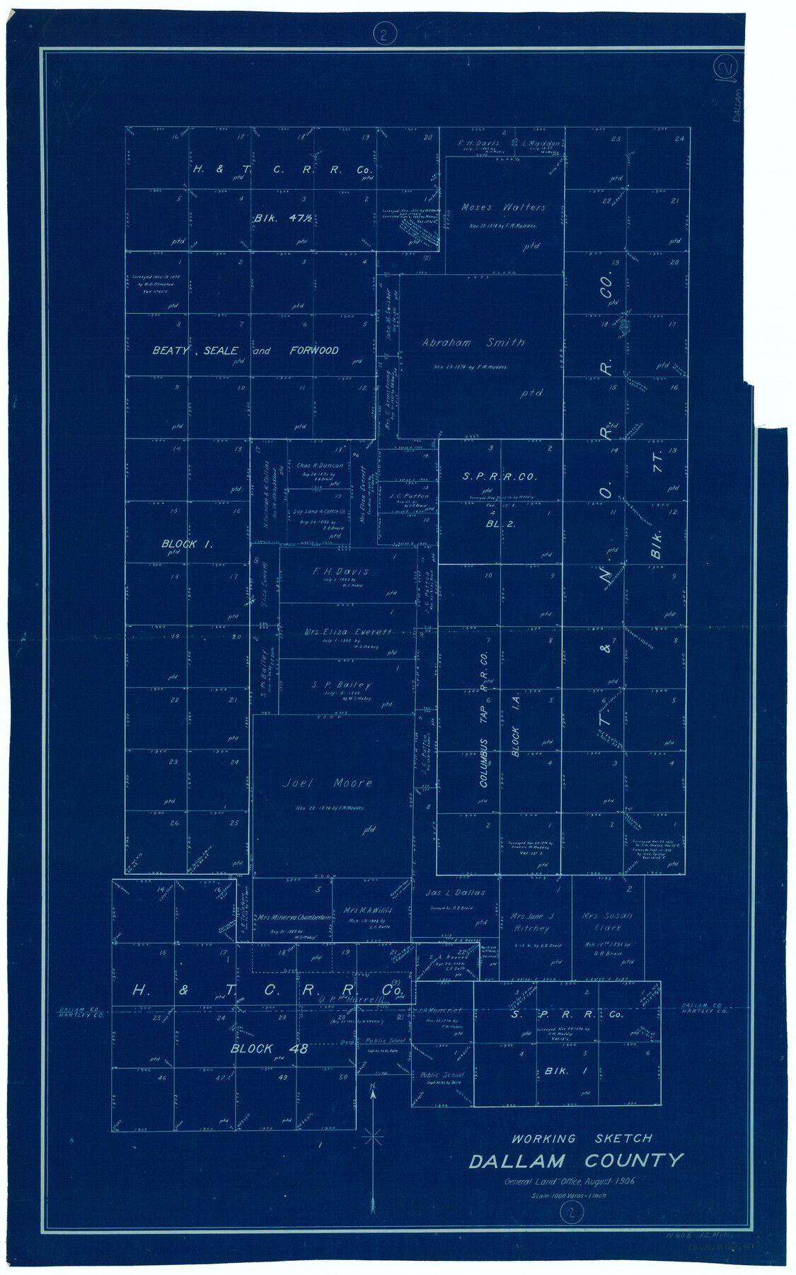
Dallam County Working Sketch 2
-
Map/Doc
68587
-
Collection
General Map Collection
-
Object Dates
8/1906 (Creation Date)
-
Counties
Dallam Hartley
-
Subjects
Surveying Working Sketch
-
Height x Width
38.5 x 24.1 inches
97.8 x 61.2 cm
-
Scale
1" = 1000 varas
Part of: General Map Collection
Map of Pecos Co.

Print $40.00
- Digital $50.00
Map of Pecos Co.
1896
Size 47.7 x 70.1 inches
Map/Doc 76038
Laguna Madre, T-9209

Print $20.00
- Digital $50.00
Laguna Madre, T-9209
Size 34.0 x 30.8 inches
Map/Doc 73600
Panola County Sketch File 25

Print $20.00
- Digital $50.00
Panola County Sketch File 25
1946
Size 24.1 x 21.4 inches
Map/Doc 12140
Current Miscellaneous File 15

Print $16.00
- Digital $50.00
Current Miscellaneous File 15
1951
Size 10.7 x 8.2 inches
Map/Doc 73822
Boundary Between the United States & Mexico Agreed upon by the Joint Commission under the Treaty of Guadalupe Hidalgo

Print $4.00
- Digital $50.00
Boundary Between the United States & Mexico Agreed upon by the Joint Commission under the Treaty of Guadalupe Hidalgo
1853
Size 18.2 x 26.8 inches
Map/Doc 72879
El Paso County Rolled Sketch 23

Print $20.00
- Digital $50.00
El Paso County Rolled Sketch 23
1888
Size 46.2 x 38.1 inches
Map/Doc 8856
Yoakum County

Print $20.00
- Digital $50.00
Yoakum County
1932
Size 45.7 x 34.1 inches
Map/Doc 73331
Jackson County Sketch File 1

Print $4.00
- Digital $50.00
Jackson County Sketch File 1
1859
Size 9.9 x 7.6 inches
Map/Doc 27617
History Salvaged from the Sea

History Salvaged from the Sea
1977
Size 23.0 x 30.4 inches
Map/Doc 96836
Kendall County Rolled Sketch 5

Print $20.00
- Digital $50.00
Kendall County Rolled Sketch 5
Size 23.4 x 19.3 inches
Map/Doc 6458

Ochiltree County Sketch File 7

Print $20.00
- Digital $50.00
Ochiltree County Sketch File 7
Size 14.5 x 26.1 inches
Map/Doc 42204
You may also like
Jefferson County Rolled Sketch 33

Print $20.00
- Digital $50.00
Jefferson County Rolled Sketch 33
1956
Size 46.8 x 27.5 inches
Map/Doc 6393
Wichita County Working Sketch 15

Print $20.00
- Digital $50.00
Wichita County Working Sketch 15
1919
Size 29.9 x 38.5 inches
Map/Doc 72525
Williamson County

Print $40.00
- Digital $50.00
Williamson County
1888
Size 39.3 x 57.1 inches
Map/Doc 16929
[H. & T.C. Blocks 46, 47]
![89927, [H. & T.C. Blocks 46, 47], Twichell Survey Records](https://historictexasmaps.com/wmedia_w700/maps/89927-1.tif.jpg)
Print $20.00
- Digital $50.00
[H. & T.C. Blocks 46, 47]
Size 37.3 x 46.6 inches
Map/Doc 89927
Reconnoissance of Sabine Pass

Print $20.00
Reconnoissance of Sabine Pass
1853
Size 12.4 x 10.3 inches
Map/Doc 76281
Flight Mission No. BRE-3P, Frame 37, Nueces County

Print $20.00
- Digital $50.00
Flight Mission No. BRE-3P, Frame 37, Nueces County
1956
Size 18.4 x 22.4 inches
Map/Doc 86815
[Connecting lines from west corner of S. K. & K. Block M6 to northwest corner section 1, J. G. & S. M. Blk. 2Z]
![90399, [Connecting lines from west corner of S. K. & K. Block M6 to northwest corner section 1, J. G. & S. M. Blk. 2Z], Twichell Survey Records](https://historictexasmaps.com/wmedia_w700/maps/90399-1.tif.jpg)
Print $20.00
- Digital $50.00
[Connecting lines from west corner of S. K. & K. Block M6 to northwest corner section 1, J. G. & S. M. Blk. 2Z]
Size 25.1 x 17.0 inches
Map/Doc 90399
Erath County Working Sketch 9

Print $20.00
- Digital $50.00
Erath County Working Sketch 9
1939
Size 18.6 x 14.8 inches
Map/Doc 69090
San Antonio - Places of Interest and how to get there

San Antonio - Places of Interest and how to get there
1920
Map/Doc 96785
Liberty County Rolled Sketch P

Print $33.00
- Digital $50.00
Liberty County Rolled Sketch P
Size 10.3 x 16.5 inches
Map/Doc 46545
Frio County Working Sketch 2

Print $20.00
- Digital $50.00
Frio County Working Sketch 2
1914
Size 17.9 x 15.1 inches
Map/Doc 69276
Fractional Township No. 9 South Range No. 11 East of the Indian Meridian, Indian Territory

Print $20.00
- Digital $50.00
Fractional Township No. 9 South Range No. 11 East of the Indian Meridian, Indian Territory
1898
Size 19.3 x 24.4 inches
Map/Doc 75220