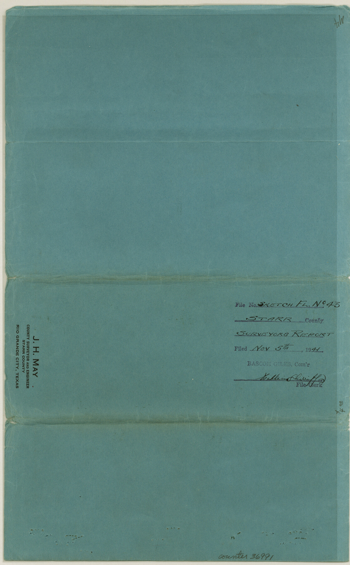
Starr County Sketch File 43
Report [and map] of a resurvey of survey no. 920 and the north lines of porciones 96 to 100 inclusive, also vacancies north of porciones 96, 97, and 98
-
Map/Doc
36991
-
Collection
General Map Collection
-
Object Dates
11/1/1941 (Creation Date)
11/5/1941 (File Date)
-
People and Organizations
J.H. May (Surveyor/Engineer)
-
Counties
Starr
-
Subjects
Surveying Sketch File
-
Height x Width
14.7 x 9.1 inches
37.3 x 23.1 cm
-
Medium
paper, print
-
Scale
1" = 400 varas
-
Features
Rio Grande City-Brownsville Road
Part of: General Map Collection
Briscoe County Rolled Sketch 18

Print $20.00
- Digital $50.00
Briscoe County Rolled Sketch 18
1946
Size 36.7 x 27.3 inches
Map/Doc 5332
Concho County Sketch File 35

Print $20.00
- Digital $50.00
Concho County Sketch File 35
1937
Size 14.9 x 15.5 inches
Map/Doc 11160
Burnet County Boundary File 7

Print $36.00
- Digital $50.00
Burnet County Boundary File 7
Size 14.0 x 8.5 inches
Map/Doc 50893
DeWitt County Rolled Sketch 2

Print $20.00
- Digital $50.00
DeWitt County Rolled Sketch 2
1943
Size 32.0 x 42.7 inches
Map/Doc 8778
Liberty County Rolled Sketch N

Print $20.00
- Digital $50.00
Liberty County Rolled Sketch N
Size 38.4 x 47.9 inches
Map/Doc 10181
McLennan County
Print $20.00
- Digital $50.00
McLennan County
1872
Size 16.3 x 21.9 inches
Map/Doc 3863
Brooks County Rolled Sketch 18

Print $20.00
- Digital $50.00
Brooks County Rolled Sketch 18
Size 11.3 x 16.1 inches
Map/Doc 61786
Intracoastal Waterway, Houma, LA to Corpus Christi, TX

Print $20.00
- Digital $50.00
Intracoastal Waterway, Houma, LA to Corpus Christi, TX
Size 22.0 x 25.0 inches
Map/Doc 61905
Wood County Working Sketch 20

Print $40.00
- Digital $50.00
Wood County Working Sketch 20
1985
Size 42.6 x 48.6 inches
Map/Doc 62020
Mills County Working Sketch 23

Print $20.00
- Digital $50.00
Mills County Working Sketch 23
1985
Size 22.8 x 36.8 inches
Map/Doc 71053
Borden County Working Sketch 1a and 1b

Print $20.00
- Digital $50.00
Borden County Working Sketch 1a and 1b
1890
Size 16.2 x 18.0 inches
Map/Doc 67461
Hutchinson County Rolled Sketch 15

Print $47.00
- Digital $50.00
Hutchinson County Rolled Sketch 15
1911
Size 28.9 x 27.0 inches
Map/Doc 10201
You may also like
Flight Mission No. CGI-1N, Frame 138, Cameron County

Print $20.00
- Digital $50.00
Flight Mission No. CGI-1N, Frame 138, Cameron County
1955
Size 15.5 x 18.7 inches
Map/Doc 84494
Culberson County Rolled Sketch 49

Print $20.00
- Digital $50.00
Culberson County Rolled Sketch 49
1961
Size 22.4 x 29.0 inches
Map/Doc 5668
General Land Office Reference Book: Burnet's, Vehlein's, Zavala's, Robertson's Colonies in Texas

General Land Office Reference Book: Burnet's, Vehlein's, Zavala's, Robertson's Colonies in Texas
Map/Doc 94555
Traveller's Map of the State of Texas

Print $20.00
- Digital $50.00
Traveller's Map of the State of Texas
1867
Size 41.8 x 38.9 inches
Map/Doc 4328
Flight Mission No. DQO-3K, Frame 33, Galveston County

Print $20.00
- Digital $50.00
Flight Mission No. DQO-3K, Frame 33, Galveston County
1952
Size 18.8 x 22.4 inches
Map/Doc 85074
General Highway Map, Tyler County, Texas

Print $20.00
General Highway Map, Tyler County, Texas
1961
Size 24.8 x 18.1 inches
Map/Doc 79690
Clay County Sketch File 10

Print $4.00
- Digital $50.00
Clay County Sketch File 10
1860
Size 8.8 x 7.6 inches
Map/Doc 18406
Lynn County, Texas

Print $20.00
- Digital $50.00
Lynn County, Texas
1883
Size 19.0 x 18.3 inches
Map/Doc 739
Trinity County Sketch File 16

Print $4.00
- Digital $50.00
Trinity County Sketch File 16
1879
Size 8.2 x 11.1 inches
Map/Doc 38544
Gregg County Boundary File 3

Print $8.00
- Digital $50.00
Gregg County Boundary File 3
Size 14.1 x 8.5 inches
Map/Doc 53988
Map of Newton County, Texas

Print $20.00
- Digital $50.00
Map of Newton County, Texas
1893
Size 35.0 x 15.2 inches
Map/Doc 587
Flight Mission No. BRA-8M, Frame 122, Jefferson County

Print $20.00
- Digital $50.00
Flight Mission No. BRA-8M, Frame 122, Jefferson County
1953
Size 18.5 x 22.4 inches
Map/Doc 85618