[Part of Block K4]
59-27
-
Map/Doc
90526
-
Collection
Twichell Survey Records
-
Counties
Deaf Smith
-
Height x Width
9.6 x 11.7 inches
24.4 x 29.7 cm
Part of: Twichell Survey Records
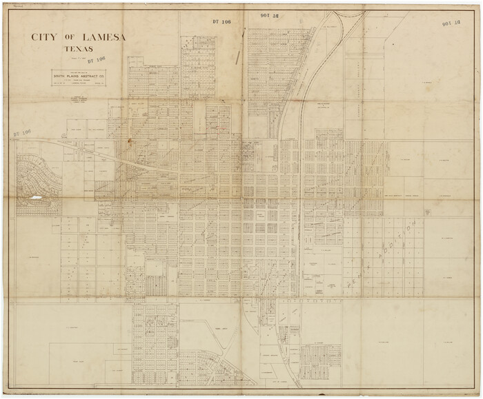
City of Lamesa, Texas

Print $40.00
- Digital $50.00
City of Lamesa, Texas
Size 52.2 x 43.2 inches
Map/Doc 89855
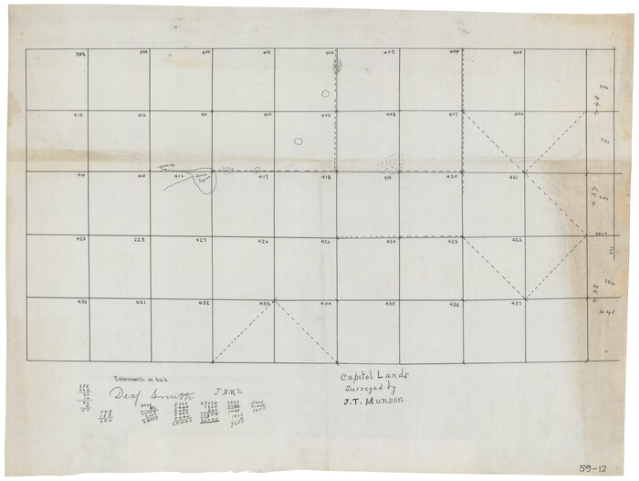
Capitol Lands Surveyed by J. T. Munson

Print $20.00
- Digital $50.00
Capitol Lands Surveyed by J. T. Munson
Size 25.8 x 19.4 inches
Map/Doc 90597
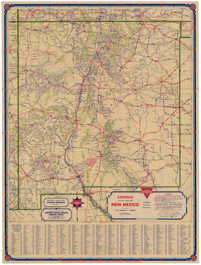
Conoco Official Road Map New Mexico

Print $20.00
- Digital $50.00
Conoco Official Road Map New Mexico
1934
Size 18.5 x 24.4 inches
Map/Doc 92436
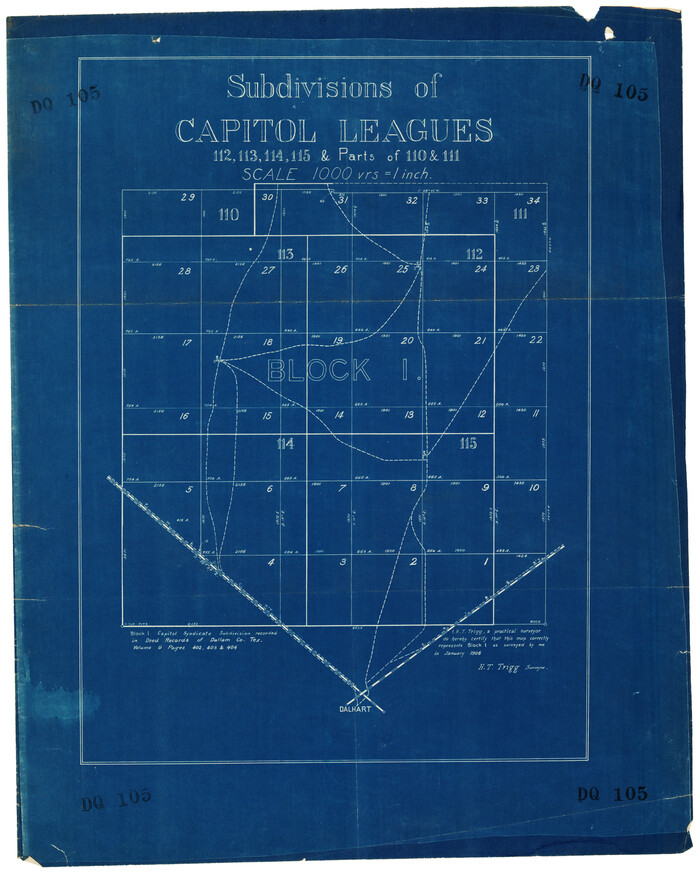
Subdivision of Capitol Leagues 112, 113, 114, and 115, and Parts of 110, and 111

Print $20.00
- Digital $50.00
Subdivision of Capitol Leagues 112, 113, 114, and 115, and Parts of 110, and 111
1906
Size 18.5 x 23.3 inches
Map/Doc 92583
[Leagues 11 and 22]
![91111, [Leagues 11 and 22], Twichell Survey Records](https://historictexasmaps.com/wmedia_w700/maps/91111-1.tif.jpg)
![91111, [Leagues 11 and 22], Twichell Survey Records](https://historictexasmaps.com/wmedia_w700/maps/91111-1.tif.jpg)
Print $20.00
- Digital $50.00
[Leagues 11 and 22]
1925
Size 14.0 x 13.6 inches
Map/Doc 91111
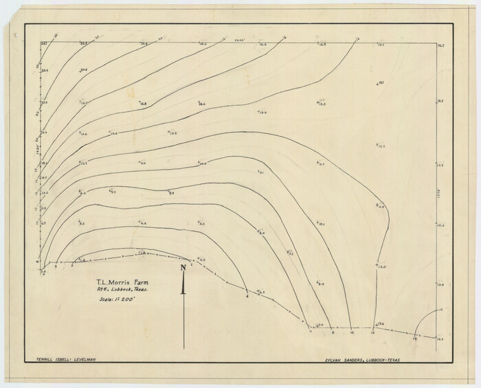
T. L. Morris Farm Rt. 6

Print $20.00
- Digital $50.00
T. L. Morris Farm Rt. 6
Size 16.3 x 13.2 inches
Map/Doc 92341
[Gunter & Munson, Maddox Bros. & Anderson Blocks F and A and State University Lands Blocks 15-17 and 50]
![91847, [Gunter & Munson, Maddox Bros. & Anderson Blocks F and A and State University Lands Blocks 15-17 and 50], Twichell Survey Records](https://historictexasmaps.com/wmedia_w700/maps/91847-1.tif.jpg)
![91847, [Gunter & Munson, Maddox Bros. & Anderson Blocks F and A and State University Lands Blocks 15-17 and 50], Twichell Survey Records](https://historictexasmaps.com/wmedia_w700/maps/91847-1.tif.jpg)
Print $20.00
- Digital $50.00
[Gunter & Munson, Maddox Bros. & Anderson Blocks F and A and State University Lands Blocks 15-17 and 50]
1884
Size 12.2 x 16.2 inches
Map/Doc 91847
[Blocks B16, B7, B15]
![93130, [Blocks B16, B7, B15], Twichell Survey Records](https://historictexasmaps.com/wmedia_w700/maps/93130-1.tif.jpg)
![93130, [Blocks B16, B7, B15], Twichell Survey Records](https://historictexasmaps.com/wmedia_w700/maps/93130-1.tif.jpg)
Print $40.00
- Digital $50.00
[Blocks B16, B7, B15]
Size 57.2 x 51.5 inches
Map/Doc 93130
[Aaron Cherry, Augustin M. de Lejarza, & Surrounding Surveys]
![91078, [Aaron Cherry, Augustin M. de Lejarza, & Surrounding Surveys], Twichell Survey Records](https://historictexasmaps.com/wmedia_w700/maps/91078-1.tif.jpg)
![91078, [Aaron Cherry, Augustin M. de Lejarza, & Surrounding Surveys], Twichell Survey Records](https://historictexasmaps.com/wmedia_w700/maps/91078-1.tif.jpg)
Print $20.00
- Digital $50.00
[Aaron Cherry, Augustin M. de Lejarza, & Surrounding Surveys]
Size 26.3 x 16.4 inches
Map/Doc 91078
Yellowhouse Addition to Littlefield, Texas Located on Labors 12 & 13 Capitol League 664


Print $20.00
- Digital $50.00
Yellowhouse Addition to Littlefield, Texas Located on Labors 12 & 13 Capitol League 664
1925
Size 26.9 x 26.7 inches
Map/Doc 92402
Seagraves Chamber of Commerce Subdivision of Northeast Quarter of Southeast Quarter of Section 9, Block C-34, Gaines County, Texas


Print $20.00
- Digital $50.00
Seagraves Chamber of Commerce Subdivision of Northeast Quarter of Southeast Quarter of Section 9, Block C-34, Gaines County, Texas
1955
Size 16.7 x 18.2 inches
Map/Doc 92684
[Surveys along State Line]
![91403, [Surveys along State Line], Twichell Survey Records](https://historictexasmaps.com/wmedia_w700/maps/91403-1.tif.jpg)
![91403, [Surveys along State Line], Twichell Survey Records](https://historictexasmaps.com/wmedia_w700/maps/91403-1.tif.jpg)
Print $3.00
- Digital $50.00
[Surveys along State Line]
Size 7.4 x 17.2 inches
Map/Doc 91403
You may also like
Marion County

Print $20.00
- Digital $50.00
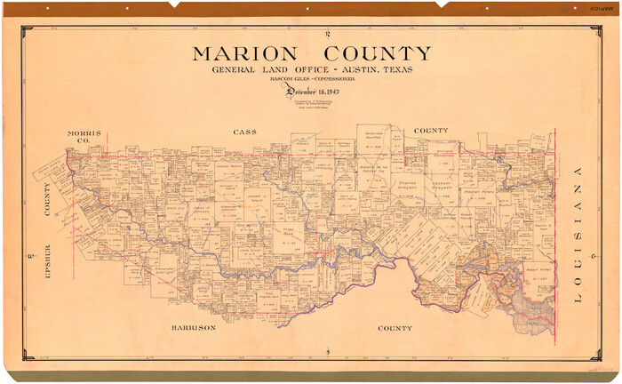
Marion County
1943
Size 29.2 x 46.3 inches
Map/Doc 73229
Culberson County Rolled Sketch 62

Print $20.00
- Digital $50.00
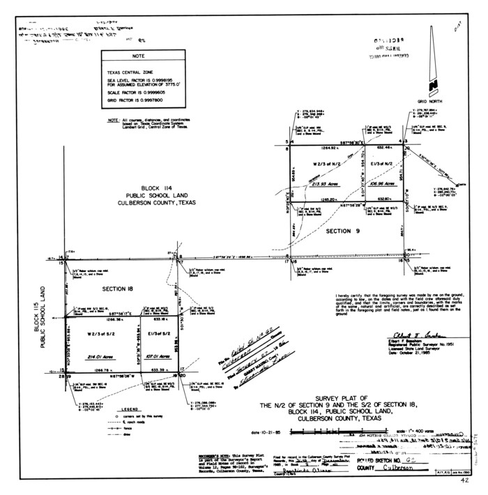
Culberson County Rolled Sketch 62
1985
Size 20.8 x 20.5 inches
Map/Doc 5678
Pecos County Rolled Sketch 90A


Print $20.00
- Digital $50.00
Pecos County Rolled Sketch 90A
1934
Size 27.0 x 31.1 inches
Map/Doc 7246
Waller County Sketch File 6

Print $12.00
- Digital $50.00
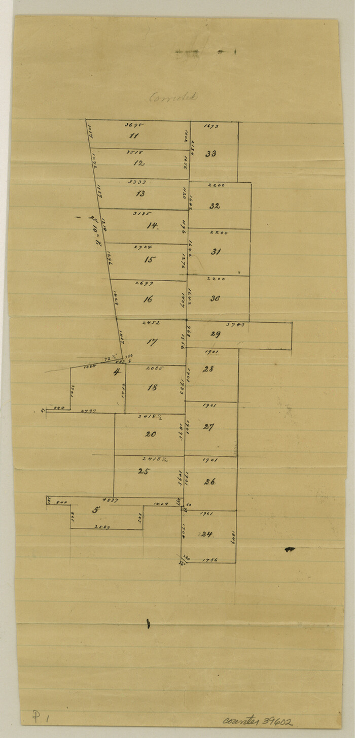
Waller County Sketch File 6
Size 13.1 x 6.3 inches
Map/Doc 39602
Henderson County Working Sketch 27
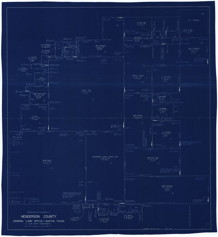

Print $20.00
- Digital $50.00
Henderson County Working Sketch 27
1955
Size 40.2 x 37.0 inches
Map/Doc 66160
La Salle County Working Sketch 16
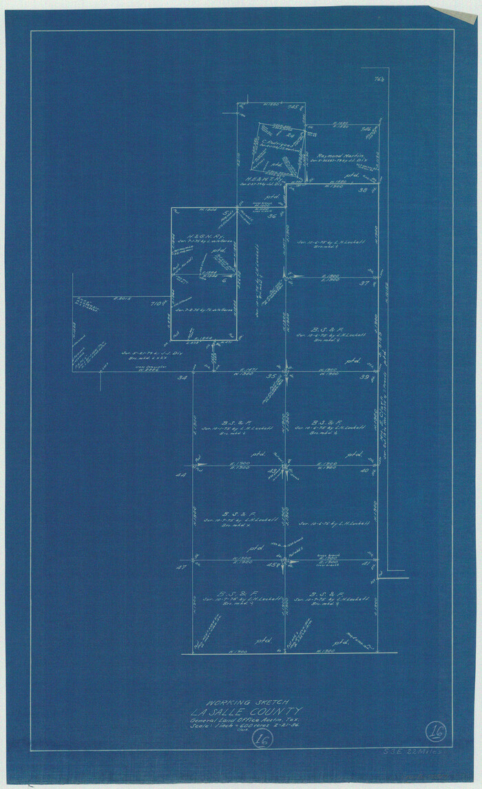

Print $20.00
- Digital $50.00
La Salle County Working Sketch 16
1936
Size 26.5 x 16.2 inches
Map/Doc 70317
Van Zandt County Sketch File 30
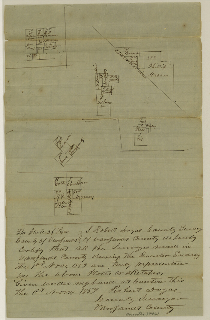

Print $4.00
- Digital $50.00
Van Zandt County Sketch File 30
1859
Size 12.2 x 8.0 inches
Map/Doc 39461
McMullen County Sketch File 21
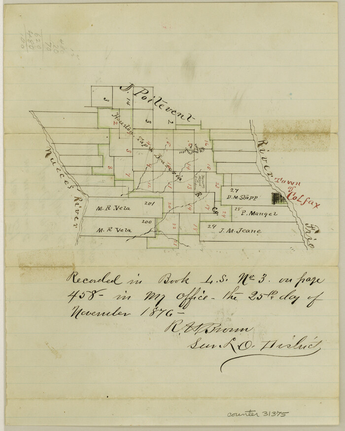

Print $4.00
- Digital $50.00
McMullen County Sketch File 21
1876
Size 10.0 x 8.0 inches
Map/Doc 31375
Flight Mission No. DQN-2K, Frame 44, Calhoun County


Print $20.00
- Digital $50.00
Flight Mission No. DQN-2K, Frame 44, Calhoun County
1953
Size 18.4 x 22.1 inches
Map/Doc 84249
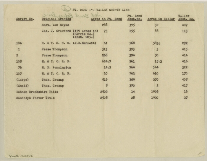
Fort Bend County Boundary File 3

Print $2.00
- Digital $50.00
Fort Bend County Boundary File 3
Size 8.8 x 11.3 inches
Map/Doc 53566
Sherman County Working Sketch Graphic Index


Print $20.00
- Digital $50.00
Sherman County Working Sketch Graphic Index
1932
Size 41.5 x 36.9 inches
Map/Doc 76698
La Salle County Sketch File 47


Print $8.00
- Digital $50.00
La Salle County Sketch File 47
1941
Size 14.2 x 8.9 inches
Map/Doc 29613
![90526, [Part of Block K4], Twichell Survey Records](https://historictexasmaps.com/wmedia_w1800h1800/maps/90526-1.tif.jpg)