[J. Poitevent Block 2, T. T. RR. Block 2, C. C. Slaughter Block 1]
58-49
-
Map/Doc
90624
-
Collection
Twichell Survey Records
-
Counties
Dawson
-
Height x Width
8.5 x 11.6 inches
21.6 x 29.5 cm
Part of: Twichell Survey Records
[T. & P. Block 43, Township 1N]
![90827, [T. & P. Block 43, Township 1N], Twichell Survey Records](https://historictexasmaps.com/wmedia_w700/maps/90827-2.tif.jpg)
![90827, [T. & P. Block 43, Township 1N], Twichell Survey Records](https://historictexasmaps.com/wmedia_w700/maps/90827-2.tif.jpg)
Print $20.00
- Digital $50.00
[T. & P. Block 43, Township 1N]
Size 23.0 x 17.8 inches
Map/Doc 90827
[T. & P. RR. Lands and Surrounding surveys]
![91131, [T. & P. RR. Lands and Surrounding surveys], Twichell Survey Records](https://historictexasmaps.com/wmedia_w700/maps/91131.tif.jpg)
![91131, [T. & P. RR. Lands and Surrounding surveys], Twichell Survey Records](https://historictexasmaps.com/wmedia_w700/maps/91131.tif.jpg)
Print $20.00
- Digital $50.00
[T. & P. RR. Lands and Surrounding surveys]
1900
Size 16.4 x 12.2 inches
Map/Doc 91131
[Worksheets related to the Wilson Strickland survey and vicinity]
![91269, [Worksheets related to the Wilson Strickland survey and vicinity], Twichell Survey Records](https://historictexasmaps.com/wmedia_w700/maps/91269.tif.jpg)
![91269, [Worksheets related to the Wilson Strickland survey and vicinity], Twichell Survey Records](https://historictexasmaps.com/wmedia_w700/maps/91269.tif.jpg)
Print $20.00
- Digital $50.00
[Worksheets related to the Wilson Strickland survey and vicinity]
Size 25.7 x 21.7 inches
Map/Doc 91269
Cow Bayou Oil Field, Orange County, Texas


Print $20.00
- Digital $50.00
Cow Bayou Oil Field, Orange County, Texas
Size 24.0 x 18.8 inches
Map/Doc 93016
Double Lakes No. 1 T-Ranch Lynn County, Texas


Print $20.00
- Digital $50.00
Double Lakes No. 1 T-Ranch Lynn County, Texas
Size 36.8 x 31.8 inches
Map/Doc 93216
King County Survey


Print $20.00
- Digital $50.00
King County Survey
1916
Size 25.6 x 30.5 inches
Map/Doc 91021
Ellwood Farms, Situated in Lamb County, Texas
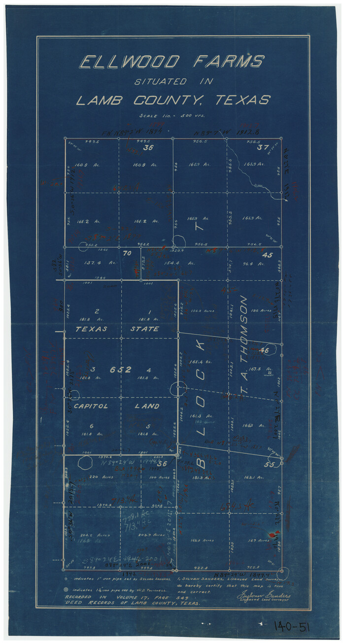

Print $20.00
- Digital $50.00
Ellwood Farms, Situated in Lamb County, Texas
Size 12.7 x 23.1 inches
Map/Doc 90994
[Sketch showing H. & T. C. Blocks 47 and M-26]
![91698, [Sketch showing H. & T. C. Blocks 47 and M-26], Twichell Survey Records](https://historictexasmaps.com/wmedia_w700/maps/91698-1.tif.jpg)
![91698, [Sketch showing H. & T. C. Blocks 47 and M-26], Twichell Survey Records](https://historictexasmaps.com/wmedia_w700/maps/91698-1.tif.jpg)
Print $3.00
- Digital $50.00
[Sketch showing H. & T. C. Blocks 47 and M-26]
Size 9.5 x 12.0 inches
Map/Doc 91698
Ownership Map Upton Co., Texas
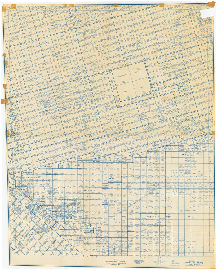

Ownership Map Upton Co., Texas
1951
Size 45.6 x 56.9 inches
Map/Doc 89904
[Block O1, Godair]
![90564, [Block O1, Godair], Twichell Survey Records](https://historictexasmaps.com/wmedia_w700/maps/90564-1.tif.jpg)
![90564, [Block O1, Godair], Twichell Survey Records](https://historictexasmaps.com/wmedia_w700/maps/90564-1.tif.jpg)
Print $20.00
- Digital $50.00
[Block O1, Godair]
Size 21.7 x 14.1 inches
Map/Doc 90564
Section 77, Block "A", Sylvan Sanders Survey
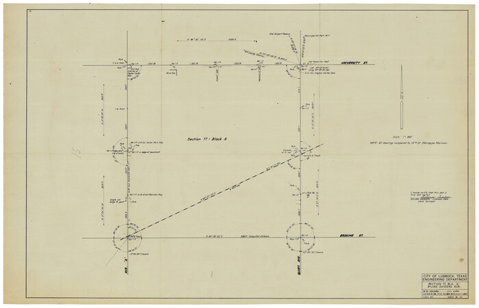

Print $20.00
- Digital $50.00
Section 77, Block "A", Sylvan Sanders Survey
1953
Size 24.7 x 16.0 inches
Map/Doc 92716
[Northwest Garza County around John Walker and Thomas Hughes surveys]
![90848, [Northwest Garza County around John Walker and Thomas Hughes surveys], Twichell Survey Records](https://historictexasmaps.com/wmedia_w700/maps/90848-2.tif.jpg)
![90848, [Northwest Garza County around John Walker and Thomas Hughes surveys], Twichell Survey Records](https://historictexasmaps.com/wmedia_w700/maps/90848-2.tif.jpg)
Print $20.00
- Digital $50.00
[Northwest Garza County around John Walker and Thomas Hughes surveys]
1913
Size 27.5 x 14.3 inches
Map/Doc 90848
You may also like
[Sections 1 & 2, Block S]
![92859, [Sections 1 & 2, Block S], Twichell Survey Records](https://historictexasmaps.com/wmedia_w700/maps/92859-1.tif.jpg)
![92859, [Sections 1 & 2, Block S], Twichell Survey Records](https://historictexasmaps.com/wmedia_w700/maps/92859-1.tif.jpg)
Print $20.00
- Digital $50.00
[Sections 1 & 2, Block S]
Size 27.8 x 15.7 inches
Map/Doc 92859
Nueces County Rolled Sketch 9
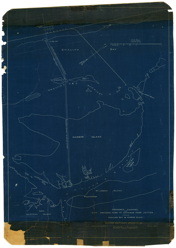

Print $20.00
- Digital $50.00
Nueces County Rolled Sketch 9
1909
Size 30.4 x 21.7 inches
Map/Doc 6868
West Half of Sabine Lake, Jefferson County, showing Subdivision for Mineral Development; do not use; see Map 25a


Print $20.00
- Digital $50.00
West Half of Sabine Lake, Jefferson County, showing Subdivision for Mineral Development; do not use; see Map 25a
1956
Size 38.2 x 28.4 inches
Map/Doc 1930
Crockett County Working Sketch 20
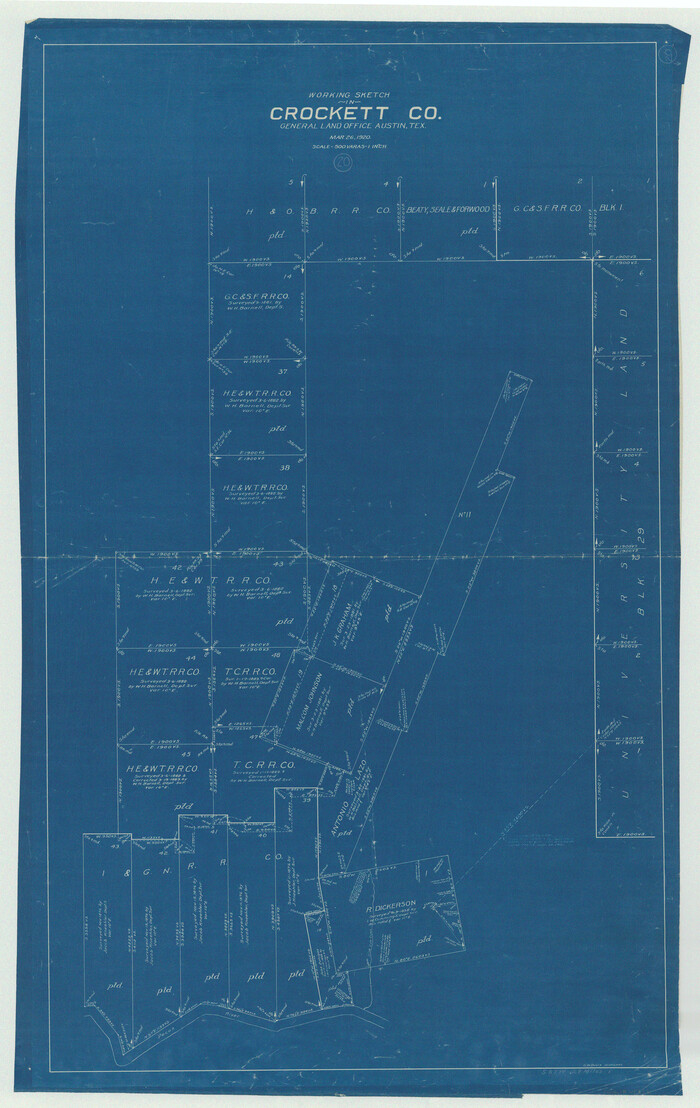

Print $20.00
- Digital $50.00
Crockett County Working Sketch 20
1920
Size 43.7 x 27.6 inches
Map/Doc 68353
Burleson County Working Sketch 44
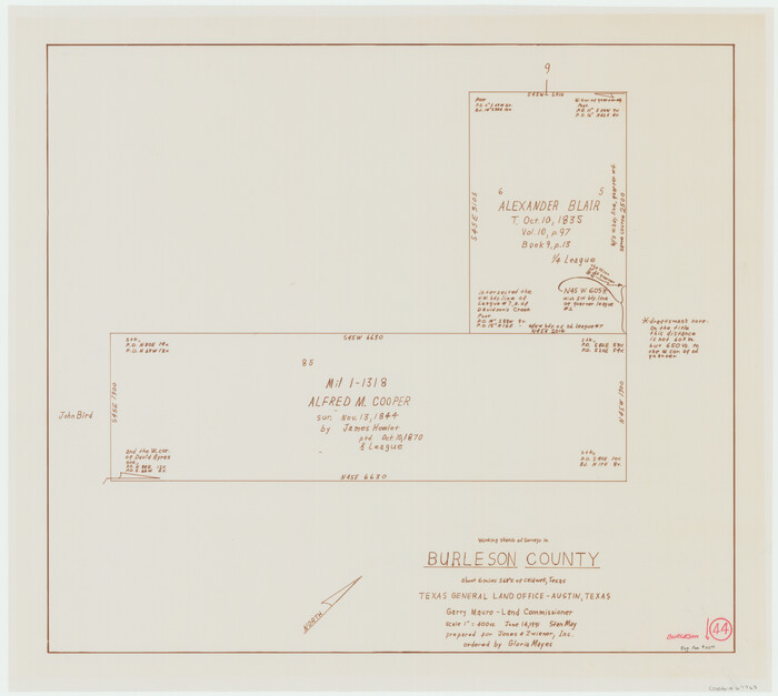

Print $20.00
- Digital $50.00
Burleson County Working Sketch 44
1991
Size 22.4 x 25.0 inches
Map/Doc 67763
Dickens County Sketch File L1
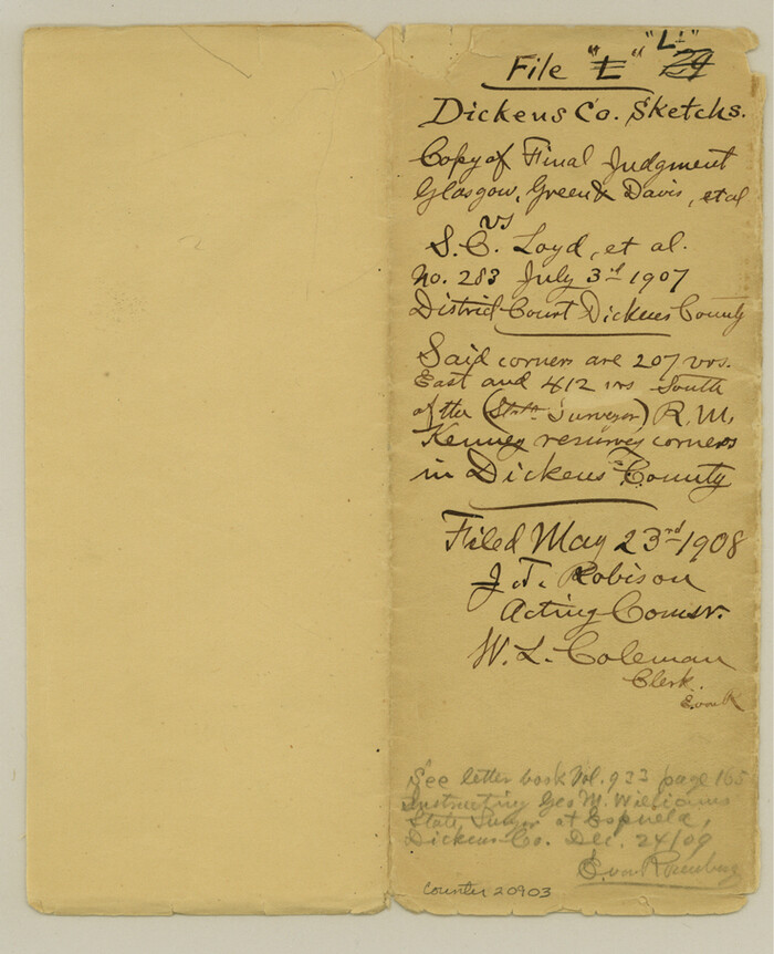

Print $16.00
- Digital $50.00
Dickens County Sketch File L1
1907
Size 9.1 x 7.4 inches
Map/Doc 20903
Jasper County Working Sketch 23
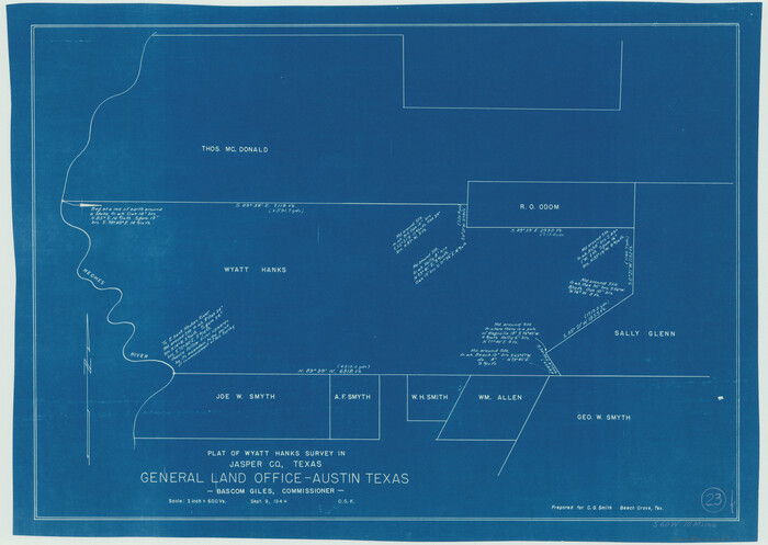

Print $20.00
- Digital $50.00
Jasper County Working Sketch 23
1944
Size 15.9 x 22.4 inches
Map/Doc 66485
Flight Mission No. CZW-3R, Frame 82


Print $20.00
- Digital $50.00
Flight Mission No. CZW-3R, Frame 82
1956
Size 18.6 x 22.3 inches
Map/Doc 85240
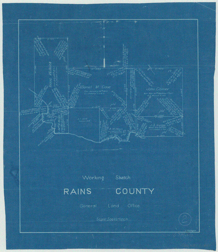
Rains County Working Sketch 2

Print $20.00
- Digital $50.00
Rains County Working Sketch 2
Size 14.0 x 12.2 inches
Map/Doc 71828
Kinney County Working Sketch 34


Print $20.00
- Digital $50.00
Kinney County Working Sketch 34
1963
Size 23.0 x 26.9 inches
Map/Doc 70216
Roberts County Working Sketch 18


Print $20.00
- Digital $50.00
Roberts County Working Sketch 18
1975
Size 35.6 x 39.7 inches
Map/Doc 63544
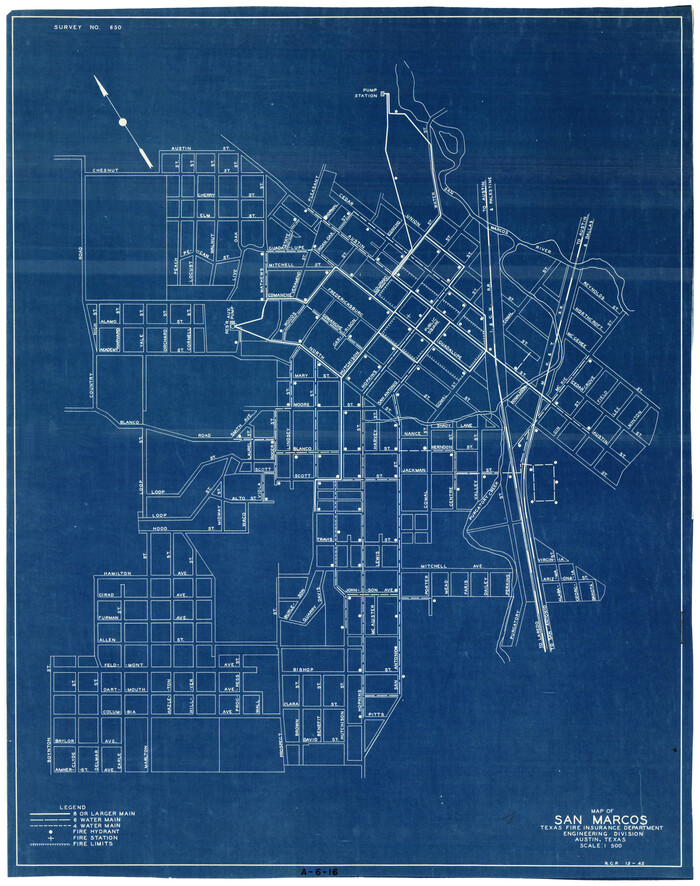
Map of San Marcos

Print $20.00
- Digital $50.00
Map of San Marcos
1942
Size 27.4 x 21.6 inches
Map/Doc 2211
![90624, [J. Poitevent Block 2, T. T. RR. Block 2, C. C. Slaughter Block 1], Twichell Survey Records](https://historictexasmaps.com/wmedia_w1800h1800/maps/90624-1.tif.jpg)