[Block 3 and part of Block 2]
90-3
-
Map/Doc
90760
-
Collection
Twichell Survey Records
-
Object Dates
4/6/1882 (Creation Date)
-
Counties
Gray
-
Height x Width
13.1 x 9.1 inches
33.3 x 23.1 cm
Part of: Twichell Survey Records
Plat Showing Land Owned by City of Lubbock out of Section 3, Block O


Print $20.00
- Digital $50.00
Plat Showing Land Owned by City of Lubbock out of Section 3, Block O
Size 40.4 x 31.1 inches
Map/Doc 92876
[H. & T. C. RR. Company, Block 47, Sections 47- 52]
![91411, [H. & T. C. RR. Company, Block 47, Sections 47- 52], Twichell Survey Records](https://historictexasmaps.com/wmedia_w700/maps/91411-1.tif.jpg)
![91411, [H. & T. C. RR. Company, Block 47, Sections 47- 52], Twichell Survey Records](https://historictexasmaps.com/wmedia_w700/maps/91411-1.tif.jpg)
Print $2.00
- Digital $50.00
[H. & T. C. RR. Company, Block 47, Sections 47- 52]
Size 8.6 x 11.1 inches
Map/Doc 91411
Brazoria County


Print $20.00
- Digital $50.00
Brazoria County
1920
Size 20.3 x 23.2 inches
Map/Doc 90138
[Lubbock County Sketch, Blocks D7, A, and vicinity]
![91310, [Lubbock County Sketch, Blocks D7, A, and vicinity], Twichell Survey Records](https://historictexasmaps.com/wmedia_w700/maps/91310-1.tif.jpg)
![91310, [Lubbock County Sketch, Blocks D7, A, and vicinity], Twichell Survey Records](https://historictexasmaps.com/wmedia_w700/maps/91310-1.tif.jpg)
Print $20.00
- Digital $50.00
[Lubbock County Sketch, Blocks D7, A, and vicinity]
1945
Size 18.2 x 29.2 inches
Map/Doc 91310
Aerial Photos
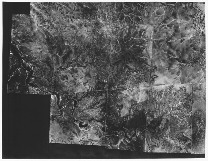

Print $20.00
- Digital $50.00
Aerial Photos
1937
Size 15.9 x 12.4 inches
Map/Doc 92106
Working Sketch in Bailey County


Print $20.00
- Digital $50.00
Working Sketch in Bailey County
1920
Size 17.1 x 19.1 inches
Map/Doc 90185
[Sketch in Hartley County]
![90770, [Sketch in Hartley County], Twichell Survey Records](https://historictexasmaps.com/wmedia_w700/maps/90770-1.tif.jpg)
![90770, [Sketch in Hartley County], Twichell Survey Records](https://historictexasmaps.com/wmedia_w700/maps/90770-1.tif.jpg)
Print $20.00
- Digital $50.00
[Sketch in Hartley County]
Size 29.1 x 21.7 inches
Map/Doc 90770
Town of Wellman Situated on Parts of the Northeast 1/4 and Northwest 1/4 Section 17, Block DD
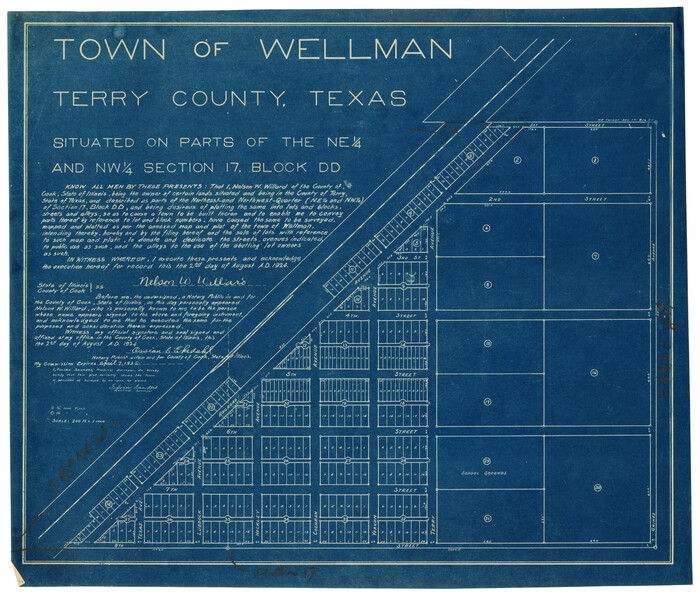

Print $20.00
- Digital $50.00
Town of Wellman Situated on Parts of the Northeast 1/4 and Northwest 1/4 Section 17, Block DD
1924
Size 14.3 x 12.3 inches
Map/Doc 92886
Ownership Map Upton Co., Texas
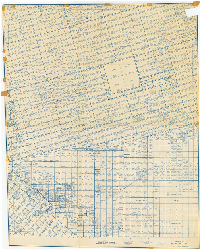

Ownership Map Upton Co., Texas
1951
Size 45.6 x 56.9 inches
Map/Doc 89904
Conoco Official Road Map New Mexico
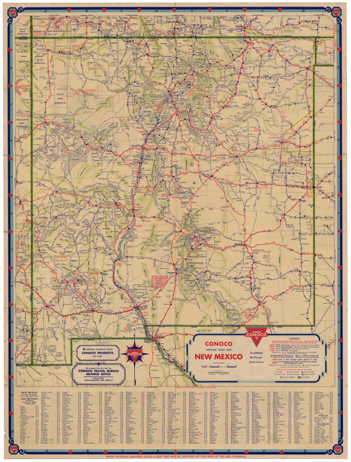

Print $20.00
- Digital $50.00
Conoco Official Road Map New Mexico
1934
Size 18.5 x 24.4 inches
Map/Doc 92436
[Block 36, Townships 1 and 2 North]
![91388, [Block 36, Townships 1 and 2 North], Twichell Survey Records](https://historictexasmaps.com/wmedia_w700/maps/91388-1.tif.jpg)
![91388, [Block 36, Townships 1 and 2 North], Twichell Survey Records](https://historictexasmaps.com/wmedia_w700/maps/91388-1.tif.jpg)
Print $20.00
- Digital $50.00
[Block 36, Townships 1 and 2 North]
Size 16.7 x 35.6 inches
Map/Doc 91388
[Capitol Leagues Eastward from Bl, LC2 to H. & T.C. Blk. 44]
![89922, [Capitol Leagues Eastward from Bl, LC2 to H. & T.C. Blk. 44], Twichell Survey Records](https://historictexasmaps.com/wmedia_w700/maps/89922-1.tif.jpg)
![89922, [Capitol Leagues Eastward from Bl, LC2 to H. & T.C. Blk. 44], Twichell Survey Records](https://historictexasmaps.com/wmedia_w700/maps/89922-1.tif.jpg)
Print $40.00
- Digital $50.00
[Capitol Leagues Eastward from Bl, LC2 to H. & T.C. Blk. 44]
Size 64.0 x 38.5 inches
Map/Doc 89922
You may also like
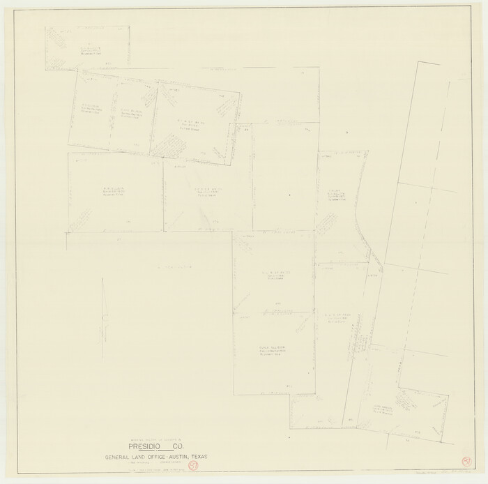
Presidio County Working Sketch 87

Print $20.00
- Digital $50.00
Presidio County Working Sketch 87
1971
Size 37.6 x 37.9 inches
Map/Doc 71764
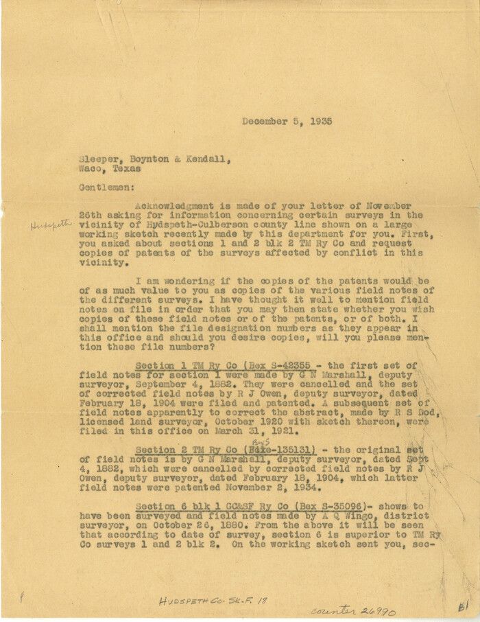
Hudspeth County Sketch File 18

Print $6.00
- Digital $50.00
Hudspeth County Sketch File 18
1935
Size 11.2 x 8.7 inches
Map/Doc 26959
Clarendon, Texas, Donley Co.


Print $20.00
Clarendon, Texas, Donley Co.
1890
Size 15.7 x 26.6 inches
Map/Doc 89078
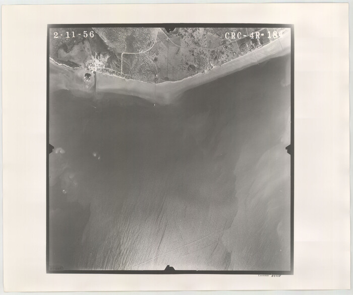
Flight Mission No. CRC-4R, Frame 184, Chambers County

Print $20.00
- Digital $50.00
Flight Mission No. CRC-4R, Frame 184, Chambers County
1956
Size 18.6 x 22.3 inches
Map/Doc 84935
Matagorda County Working Sketch 31


Print $20.00
- Digital $50.00
Matagorda County Working Sketch 31
1982
Size 17.2 x 46.9 inches
Map/Doc 70889
Reagan County Rolled Sketch 8


Print $20.00
- Digital $50.00
Reagan County Rolled Sketch 8
Size 30.2 x 26.7 inches
Map/Doc 7436
Duval County Sketch File 35c


Print $6.00
- Digital $50.00
Duval County Sketch File 35c
1935
Size 14.5 x 8.8 inches
Map/Doc 21377
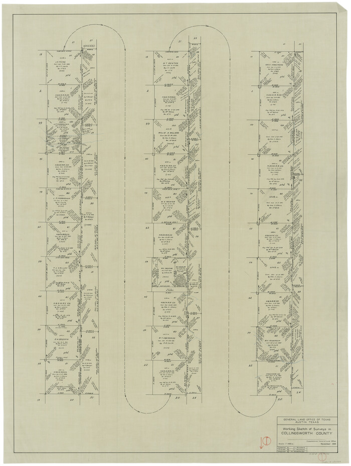
Collingsworth County Working Sketch 1

Print $20.00
- Digital $50.00
Collingsworth County Working Sketch 1
1939
Size 43.0 x 32.8 inches
Map/Doc 68089
Garza County Rolled Sketch 11 & 11A


Print $31.00
- Digital $50.00
Garza County Rolled Sketch 11 & 11A
1915
Size 10.3 x 15.5 inches
Map/Doc 45214
Upton County Sketch File 15


Print $20.00
- Digital $50.00
Upton County Sketch File 15
1927
Size 34.3 x 19.5 inches
Map/Doc 12513
Presidio County Rolled Sketch A-2A
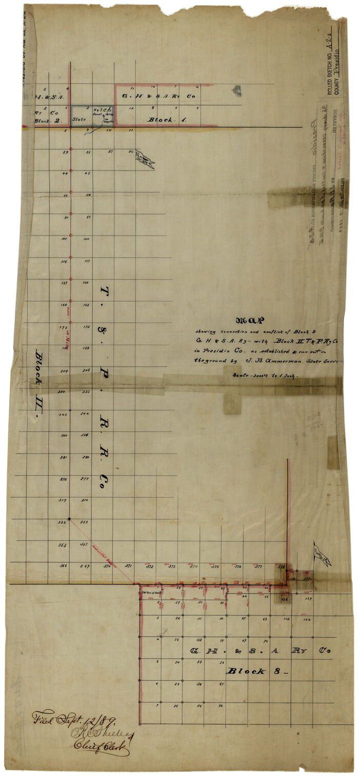

Print $20.00
- Digital $50.00
Presidio County Rolled Sketch A-2A
Size 34.1 x 15.9 inches
Map/Doc 7406
Travis County Rolled Sketch 19
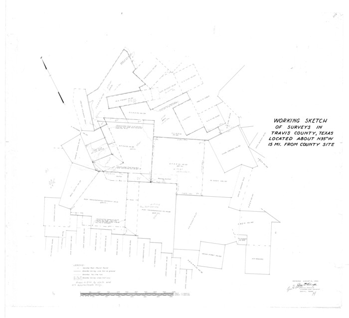

Print $20.00
- Digital $50.00
Travis County Rolled Sketch 19
1940
Size 34.4 x 37.8 inches
Map/Doc 10012
![90760, [Block 3 and part of Block 2], Twichell Survey Records](https://historictexasmaps.com/wmedia_w1800h1800/maps/90760-1.tif.jpg)