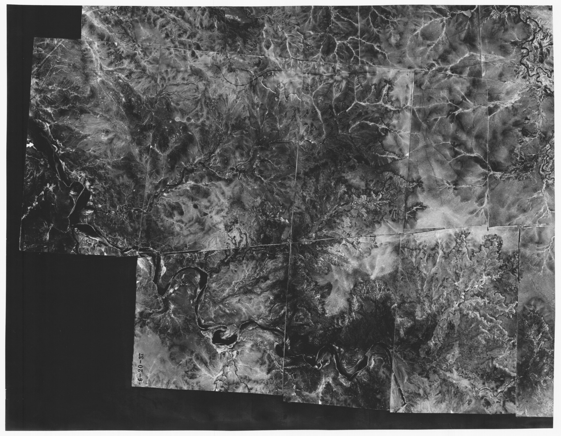
Aerial Photos
-
Map/Doc
92106
-
Collection
Twichell Survey Records
-
Object Dates
6/20/1937 (Creation Date)
-
Counties
Potter
-
Subjects
Aerial Photograph
-
Height x Width
15.9 x 12.4 inches
40.4 x 31.5 cm
Part of: Twichell Survey Records
Block 1 H&GN RR Co.

Print $20.00
- Digital $50.00
Block 1 H&GN RR Co.
Size 39.3 x 40.3 inches
Map/Doc 89769
[North 3/4 of County]
![90840, [North 3/4 of County], Twichell Survey Records](https://historictexasmaps.com/wmedia_w700/maps/90840-2.tif.jpg)
Print $20.00
- Digital $50.00
[North 3/4 of County]
1887
Size 26.0 x 15.4 inches
Map/Doc 90840
[Catfish Creek Survey]
![92647, [Catfish Creek Survey], Twichell Survey Records](https://historictexasmaps.com/wmedia_w700/maps/92647-1.tif.jpg)
Print $20.00
- Digital $50.00
[Catfish Creek Survey]
1916
Size 21.9 x 26.0 inches
Map/Doc 92647
Howard T. Trigg's Official Map of Amarillo

Print $40.00
- Digital $50.00
Howard T. Trigg's Official Map of Amarillo
Size 79.1 x 54.0 inches
Map/Doc 93196
C. A. Pierce's Subdivision of Dick Slaughter Land

Print $20.00
- Digital $50.00
C. A. Pierce's Subdivision of Dick Slaughter Land
Size 37.7 x 17.1 inches
Map/Doc 90301
[H. & G. N. RR. Co. Block 1]
![90892, [H. & G. N. RR. Co. Block 1], Twichell Survey Records](https://historictexasmaps.com/wmedia_w700/maps/90892-1.tif.jpg)
Print $20.00
- Digital $50.00
[H. & G. N. RR. Co. Block 1]
1902
Size 14.9 x 15.8 inches
Map/Doc 90892
[Land on East Side of Creek, Exhibit G]
![91372, [Land on East Side of Creek, Exhibit G], Twichell Survey Records](https://historictexasmaps.com/wmedia_w700/maps/91372-1.tif.jpg)
Print $20.00
- Digital $50.00
[Land on East Side of Creek, Exhibit G]
Size 19.4 x 29.6 inches
Map/Doc 91372
[Sketch showing B. H. Epperson, Mary Fury and H. Rodgers surveys and vicinity]
![93069, [Sketch showing B. H. Epperson, Mary Fury and H. Rodgers surveys and vicinity], Twichell Survey Records](https://historictexasmaps.com/wmedia_w700/maps/93069-1.tif.jpg)
Print $20.00
- Digital $50.00
[Sketch showing B. H. Epperson, Mary Fury and H. Rodgers surveys and vicinity]
1919
Size 10.7 x 21.5 inches
Map/Doc 93069
[William T. Brewer, John R. Taylor, M. McDonald, W. N. Raymond, and surrounding surveys]
![91031, [William T. Brewer, John R. Taylor, M. McDonald, W. N. Raymond, and surrounding surveys], Twichell Survey Records](https://historictexasmaps.com/wmedia_w700/maps/91031-1.tif.jpg)
Print $20.00
- Digital $50.00
[William T. Brewer, John R. Taylor, M. McDonald, W. N. Raymond, and surrounding surveys]
Size 29.1 x 25.5 inches
Map/Doc 91031
[Blocks 34-36, Township 2N]
![92027, [Blocks 34-36, Township 2N], Twichell Survey Records](https://historictexasmaps.com/wmedia_w700/maps/92027-1.tif.jpg)
Print $20.00
- Digital $50.00
[Blocks 34-36, Township 2N]
Size 36.8 x 24.2 inches
Map/Doc 92027
[Blks. 8, 10, CC 41, and 32]
![90118, [Blks. 8, 10, CC 41, and 32], Twichell Survey Records](https://historictexasmaps.com/wmedia_w700/maps/90118-1.tif.jpg)
Print $20.00
- Digital $50.00
[Blks. 8, 10, CC 41, and 32]
Size 40.6 x 15.4 inches
Map/Doc 90118
![89829, [Central Yates], Twichell Survey Records](https://historictexasmaps.com/wmedia_w700/maps/89829-1.tif.jpg)
You may also like
El Paso County Rolled Sketch 49

Print $40.00
- Digital $50.00
El Paso County Rolled Sketch 49
Size 10.5 x 104.9 inches
Map/Doc 76061
Maps & Lists Showing Prison Lands (Oil & Gas) Leased as of June 1955

Digital $50.00
Maps & Lists Showing Prison Lands (Oil & Gas) Leased as of June 1955
Size 11.4 x 7.0 inches
Map/Doc 62864
Railroad Track Map, H&TCRRCo., Falls County, Texas

Print $4.00
- Digital $50.00
Railroad Track Map, H&TCRRCo., Falls County, Texas
1918
Size 11.5 x 18.6 inches
Map/Doc 62850
Galveston County Rolled Sketch WF

Print $20.00
- Digital $50.00
Galveston County Rolled Sketch WF
Size 25.2 x 34.1 inches
Map/Doc 5991
Newton County Rolled Sketch 24
Print $20.00
- Digital $50.00
Newton County Rolled Sketch 24
1893
Size 18.8 x 20.8 inches
Map/Doc 6851
Galveston County NRC Article 33.136 Sketch 40

Print $22.00
- Digital $50.00
Galveston County NRC Article 33.136 Sketch 40
2005
Size 23.9 x 36.5 inches
Map/Doc 83061
The Republic County of Houston. December 29, 1845

Print $20.00
The Republic County of Houston. December 29, 1845
2020
Size 19.7 x 21.8 inches
Map/Doc 96183
Nueces County Sketch File 12b

Print $8.00
- Digital $50.00
Nueces County Sketch File 12b
1889
Size 14.2 x 8.8 inches
Map/Doc 32530
Hudspeth County Sketch File 9

Print $8.00
- Digital $50.00
Hudspeth County Sketch File 9
1900
Size 11.3 x 8.8 inches
Map/Doc 26895
Randall County Boundary File 5

Print $14.00
- Digital $50.00
Randall County Boundary File 5
Size 8.9 x 7.8 inches
Map/Doc 58134
McMullen County Sketch File 37

Print $6.00
- Digital $50.00
McMullen County Sketch File 37
1937
Size 14.3 x 8.8 inches
Map/Doc 31410
Flight Mission No. CRC-1R, Frame 152, Chambers County

Print $20.00
- Digital $50.00
Flight Mission No. CRC-1R, Frame 152, Chambers County
1956
Size 18.8 x 22.5 inches
Map/Doc 84714