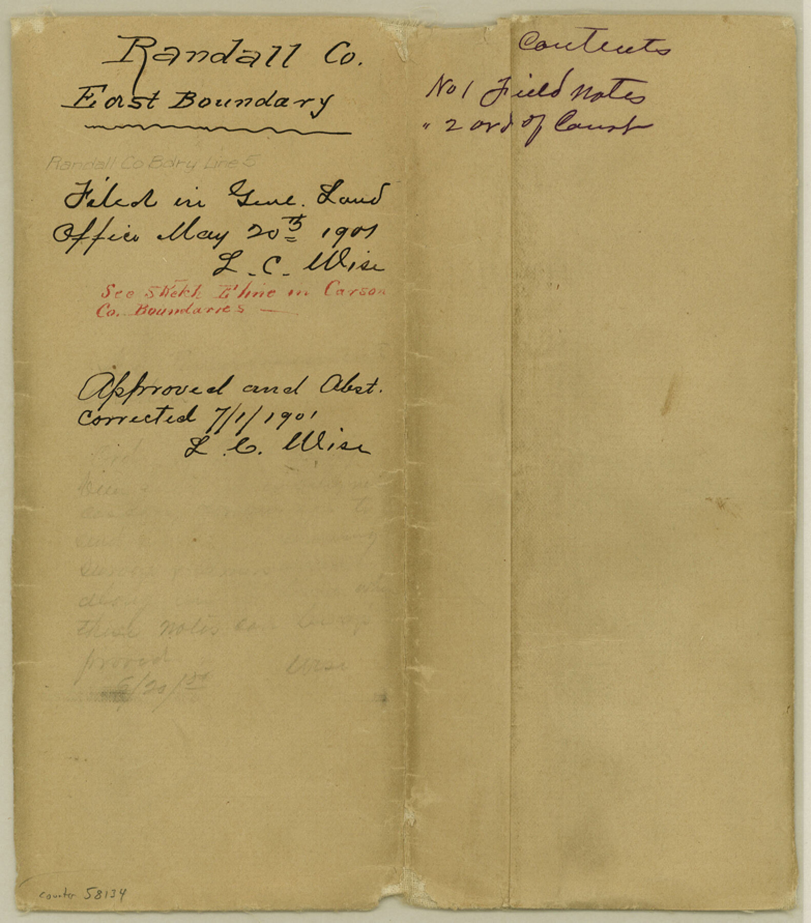
Randall County Boundary File 5
Randall Co. E. line
-
Map/Doc
58134
-
Collection
General Map Collection
-
Counties
Randall
-
Subjects
County Boundaries
-
Height x Width
8.9 x 7.8 inches
22.6 x 19.8 cm
Part of: General Map Collection
Liberty County Working Sketch 42

Print $20.00
- Digital $50.00
Liberty County Working Sketch 42
1953
Size 24.0 x 35.8 inches
Map/Doc 70501
Bexar County Working Sketch 23

Print $20.00
- Digital $50.00
Bexar County Working Sketch 23
1987
Size 27.7 x 34.3 inches
Map/Doc 67339
Stephens County

Print $20.00
- Digital $50.00
Stephens County
1940
Size 42.9 x 41.0 inches
Map/Doc 63045
Map of the Houston & Great Northern Railroad

Print $40.00
- Digital $50.00
Map of the Houston & Great Northern Railroad
1871
Size 26.6 x 48.4 inches
Map/Doc 64472

Tarrant County Sketch File 14

Print $7.00
- Digital $50.00
Tarrant County Sketch File 14
1859
Size 10.2 x 8.4 inches
Map/Doc 37705
Hemphill County Working Sketch 30

Print $40.00
- Digital $50.00
Hemphill County Working Sketch 30
1974
Size 52.5 x 26.7 inches
Map/Doc 66125
Hutchinson County Sketch File 10

Print $40.00
- Digital $50.00
Hutchinson County Sketch File 10
Size 55.8 x 9.2 inches
Map/Doc 10500
Amistad International Reservoir on Rio Grande 72a

Print $20.00
- Digital $50.00
Amistad International Reservoir on Rio Grande 72a
1949
Size 28.3 x 39.6 inches
Map/Doc 73361
Leon County Working Sketch 7

Print $20.00
- Digital $50.00
Leon County Working Sketch 7
1913
Size 13.7 x 16.7 inches
Map/Doc 70406
Starr County Working Sketch 7

Print $20.00
- Digital $50.00
Starr County Working Sketch 7
1938
Size 39.2 x 36.4 inches
Map/Doc 63923
Flight Mission No. CUG-1P, Frame 78, Kleberg County

Print $20.00
- Digital $50.00
Flight Mission No. CUG-1P, Frame 78, Kleberg County
1956
Size 18.9 x 22.5 inches
Map/Doc 86143
You may also like
Brazoria County NRC Article 33.136 Sketch 9

Print $24.00
- Digital $50.00
Brazoria County NRC Article 33.136 Sketch 9
2007
Size 24.2 x 34.1 inches
Map/Doc 87929
Jeff Davis County Rolled Sketch 13

Print $73.00
- Digital $50.00
Jeff Davis County Rolled Sketch 13
1921
Size 20.0 x 23.3 inches
Map/Doc 6366
Galveston County NRC Article 33.136 Sketch 61

Print $140.00
- Digital $50.00
Galveston County NRC Article 33.136 Sketch 61
2009
Size 24.0 x 36.0 inches
Map/Doc 94824
Anderson County Boundary File 2

Print $8.00
- Digital $50.00
Anderson County Boundary File 2
Size 14.3 x 8.7 inches
Map/Doc 49730
Harris County NRC Article 33.136 Sketch 11

Print $28.00
- Digital $50.00
Harris County NRC Article 33.136 Sketch 11
2007
Size 24.0 x 36.0 inches
Map/Doc 94658
Glasscock County Rolled Sketch 14

Print $20.00
- Digital $50.00
Glasscock County Rolled Sketch 14
1957
Size 29.0 x 26.3 inches
Map/Doc 6020
Map of Cameron, Hidalgo and half of Starr County of Texas

Print $20.00
- Digital $50.00
Map of Cameron, Hidalgo and half of Starr County of Texas
1900
Size 42.4 x 30.3 inches
Map/Doc 3150
Potter County Boundary File 3f

Print $4.00
- Digital $50.00
Potter County Boundary File 3f
Size 6.3 x 4.4 inches
Map/Doc 57995
Flight Mission No. BRE-3P, Frame 35, Nueces County

Print $20.00
- Digital $50.00
Flight Mission No. BRE-3P, Frame 35, Nueces County
1956
Size 18.5 x 21.1 inches
Map/Doc 86813
Map of Pass Cavallo, Texas, Showing the position of the Rebel fortifications and rifle pits.

Print $20.00
Map of Pass Cavallo, Texas, Showing the position of the Rebel fortifications and rifle pits.
1863
Size 23.8 x 21.0 inches
Map/Doc 88595
Pecos County Working Sketch 83

Print $20.00
- Digital $50.00
Pecos County Working Sketch 83
1961
Size 18.7 x 28.7 inches
Map/Doc 71555
Hardeman County Working Sketch 2

Print $20.00
- Digital $50.00
Hardeman County Working Sketch 2
1900
Size 19.1 x 19.4 inches
Map/Doc 63383