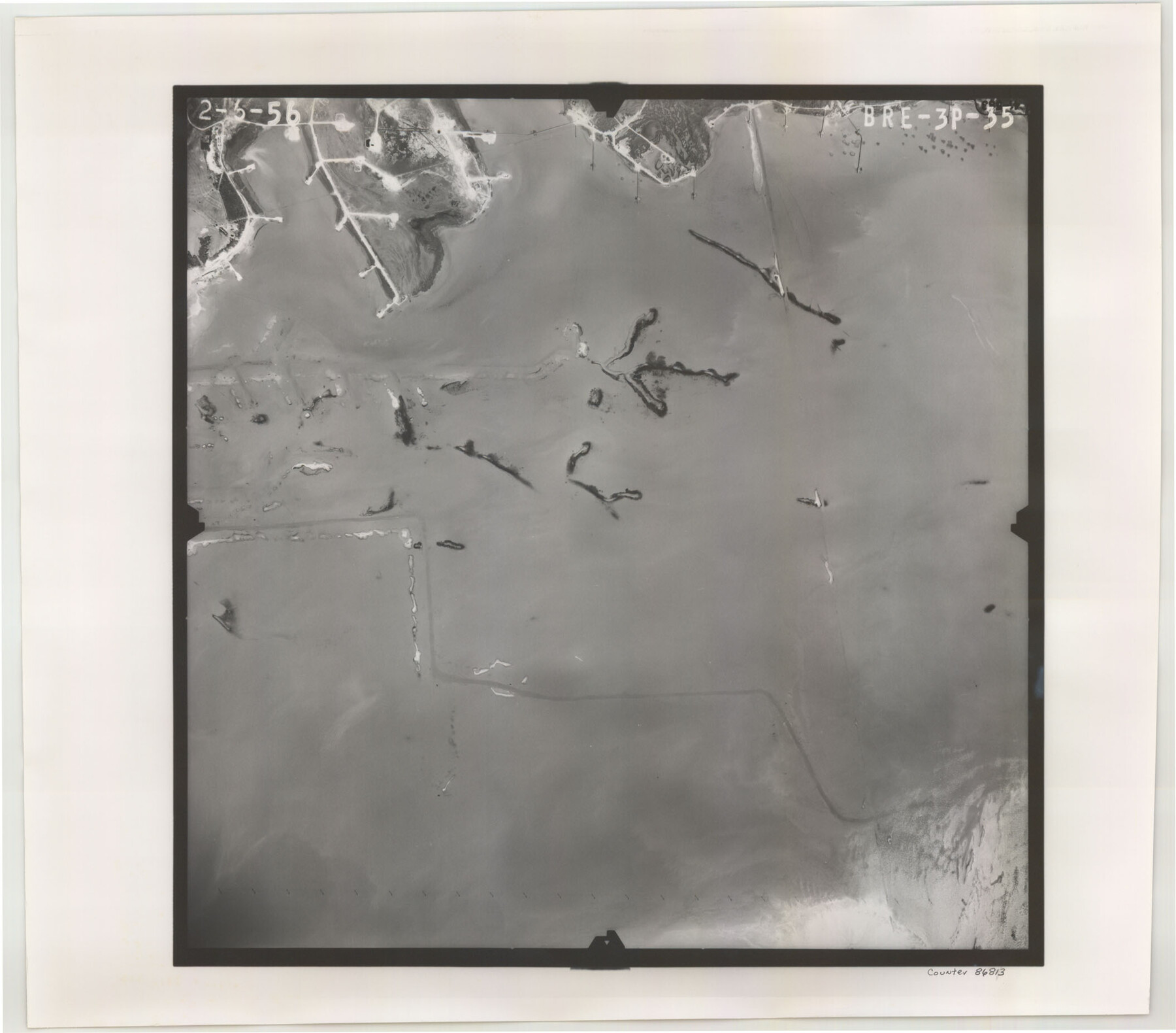
Flight Mission No. BRE-3P, Frame 35, Nueces County
BRE-3P-35
- 
                          Map/Doc
86813
 - 
                            Collection
General Map Collection
 - 
                            Object Dates
1956/2/6 (Creation Date)
 - 
                            People and Organizations
U. S. Department of Agriculture (Publisher)
 - 
                            Counties
Nueces
 - 
                            Subjects
Aerial Photograph
 - 
                            Height x Width
18.5 x 21.1 inches
47.0 x 53.6 cm
 - 
                            Comments
Flown by V. L. Beavers and Associates of San Antonio, Texas.
 
Part of: General Map Collection
            Zavala County Sketch File 50


                                            Print $10.00                    
                                             -                         Digital $50.00                                    
                Zavala County Sketch File 50
1956
Size 14.6 x 9.1 inches
                                Map/Doc 41446
            
            Map of the City of Kerens (Navarro County) Texas


                                            Print $40.00                    
                                             -                         Digital $50.00                                    
                Map of the City of Kerens (Navarro County) Texas
1958
Size 44.2 x 54.9 inches
                                Map/Doc 93670
            
            Jefferson County Working Sketch 28


                                            Print $20.00                    
                                             -                         Digital $50.00                                    
                Jefferson County Working Sketch 28
1977
Size 46.2 x 42.9 inches
                                Map/Doc 66571
            
            Flight Mission No. DQN-2K, Frame 147, Calhoun County


                                            Print $20.00                    
                                             -                         Digital $50.00                                    
                Flight Mission No. DQN-2K, Frame 147, Calhoun County
1953
Size 19.0 x 22.6 inches
                                Map/Doc 84316
            
            Culberson County Rolled Sketch 20


                                            Print $20.00                    
                                             -                         Digital $50.00                                    
                Culberson County Rolled Sketch 20
1912
Size 30.0 x 18.2 inches
                                Map/Doc 5653
            
            Map of survey of the 100th Meridian west longitude, extending from the north bank of Red River to the intersection of the Northern Boundary of the Creek or Seminole Country


                                            Print $20.00                    
                                             -                         Digital $50.00                                    
                Map of survey of the 100th Meridian west longitude, extending from the north bank of Red River to the intersection of the Northern Boundary of the Creek or Seminole Country
1859
Size 30.8 x 9.9 inches
                                Map/Doc 3091
            
            Dickens County Sketch File 32


                                            Print $20.00                    
                                             -                         Digital $50.00                                    
                Dickens County Sketch File 32
Size 32.8 x 30.6 inches
                                Map/Doc 11328
            
            Shelby County Working Sketch 23b


                                            Print $20.00                    
                                             -                         Digital $50.00                                    
                Shelby County Working Sketch 23b
1983
Size 36.6 x 24.7 inches
                                Map/Doc 63877
            
            Gillespie County Boundary File 2


                                            Print $42.00                    
                                             -                         Digital $50.00                                    
                Gillespie County Boundary File 2
Size 6.7 x 4.0 inches
                                Map/Doc 53724
            
            Fractional Township No. 7 South Range No. 2 West of the Indian Meridian, Indian Territory


                                            Print $20.00                    
                                             -                         Digital $50.00                                    
                Fractional Township No. 7 South Range No. 2 West of the Indian Meridian, Indian Territory
1898
Size 19.2 x 24.4 inches
                                Map/Doc 75195
            
            Sutton County Working Sketch 5


                                            Print $20.00                    
                                             -                         Digital $50.00                                    
                Sutton County Working Sketch 5
1969
Size 25.4 x 33.4 inches
                                Map/Doc 62348
            
            Smith County Working Sketch 16


                                            Print $20.00                    
                                             -                         Digital $50.00                                    
                Smith County Working Sketch 16
1988
Size 33.6 x 44.9 inches
                                Map/Doc 63901
            You may also like
            Sabine Bank to East Bay including Heald Bank


                                            Print $20.00                    
                                             -                         Digital $50.00                                    
                Sabine Bank to East Bay including Heald Bank
1976
Size 45.0 x 34.5 inches
                                Map/Doc 69851
            
            Brooks County Working Sketch 7


                                            Print $20.00                    
                                             -                         Digital $50.00                                    
                Brooks County Working Sketch 7
1928
Size 35.6 x 27.1 inches
                                Map/Doc 67791
            
            Boundary Between the United States & Mexico Agreed upon by the Joint Commission under the Treaty of Guadalupe Hidalgo


                                            Print $20.00                    
                                             -                         Digital $50.00                                    
                Boundary Between the United States & Mexico Agreed upon by the Joint Commission under the Treaty of Guadalupe Hidalgo
1853
Size 18.4 x 26.5 inches
                                Map/Doc 72884
            
            Flight Mission No. DAG-21K, Frame 82, Matagorda County


                                            Print $20.00                    
                                             -                         Digital $50.00                                    
                Flight Mission No. DAG-21K, Frame 82, Matagorda County
1952
Size 18.5 x 22.3 inches
                                Map/Doc 86411
            
            Flight Mission No. BRE-1P, Frame 136, Nueces County


                                            Print $20.00                    
                                             -                         Digital $50.00                                    
                Flight Mission No. BRE-1P, Frame 136, Nueces County
1956
Size 18.7 x 22.7 inches
                                Map/Doc 86696
            
            Jack County Working Sketch 25


                                            Print $20.00                    
                                             -                         Digital $50.00                                    
                Jack County Working Sketch 25
2012
Size 32.7 x 24.9 inches
                                Map/Doc 93409
            
            Flight Mission No. DQN-5K, Frame 27, Calhoun County


                                            Print $20.00                    
                                             -                         Digital $50.00                                    
                Flight Mission No. DQN-5K, Frame 27, Calhoun County
1953
Size 18.4 x 22.1 inches
                                Map/Doc 84378
            
            Flight Mission No. BRA-16M, Frame 131, Jefferson County


                                            Print $20.00                    
                                             -                         Digital $50.00                                    
                Flight Mission No. BRA-16M, Frame 131, Jefferson County
1953
Size 18.4 x 22.5 inches
                                Map/Doc 85741
            
            Bee County Working Sketch 27


                                            Print $20.00                    
                                             -                         Digital $50.00                                    
                Bee County Working Sketch 27
1988
Size 27.0 x 23.4 inches
                                Map/Doc 67277
            
            Map of the Fort Worth and Denver City Railway, through Wilbarger County Texas, 1882


                                            Print $40.00                    
                                             -                         Digital $50.00                                    
                Map of the Fort Worth and Denver City Railway, through Wilbarger County Texas, 1882
Size 22.6 x 79.4 inches
                                Map/Doc 64427