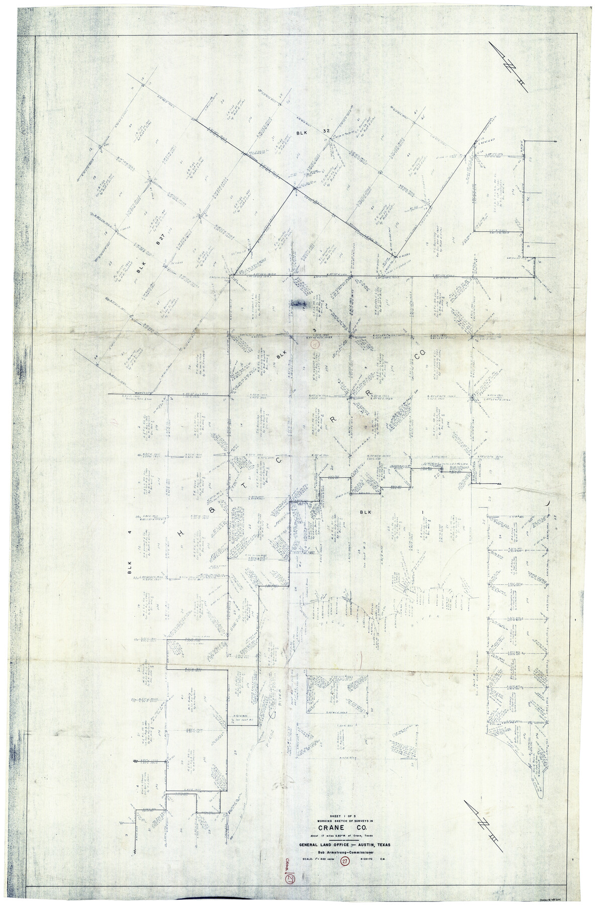
Crane County Working Sketch 27
-
Map/Doc
68304
-
Collection
General Map Collection
-
Object Dates
4/20/1972 (Creation Date)
-
Counties
Crane
-
Subjects
Surveying Working Sketch
-
Height x Width
71.9 x 47.1 inches
182.6 x 119.6 cm
-
Scale
1" = 400 varas
Part of: General Map Collection
Flight Mission No. DAG-23K, Frame 20, Matagorda County

Print $20.00
- Digital $50.00
Flight Mission No. DAG-23K, Frame 20, Matagorda County
1953
Size 18.4 x 22.2 inches
Map/Doc 86482
Newton County Working Sketch 5

Print $20.00
- Digital $50.00
Newton County Working Sketch 5
1926
Size 16.0 x 20.0 inches
Map/Doc 71251
Nueces County Rolled Sketch 110

Print $20.00
- Digital $50.00
Nueces County Rolled Sketch 110
1990
Size 24.1 x 37.5 inches
Map/Doc 7117
Map of Scurry County

Print $20.00
- Digital $50.00
Map of Scurry County
1899
Size 39.8 x 34.7 inches
Map/Doc 63029
Matagorda County Sketch File 8

Print $4.00
- Digital $50.00
Matagorda County Sketch File 8
1877
Size 12.9 x 8.0 inches
Map/Doc 30750
Terrell County Working Sketch 14

Print $20.00
- Digital $50.00
Terrell County Working Sketch 14
1926
Size 39.4 x 44.9 inches
Map/Doc 62163
Zavala County Boundary File 1

Print $48.00
- Digital $50.00
Zavala County Boundary File 1
Size 12.8 x 8.3 inches
Map/Doc 60233
Real County Working Sketch 45

Print $20.00
- Digital $50.00
Real County Working Sketch 45
1955
Size 23.1 x 18.5 inches
Map/Doc 71937
Map of Limestone County

Print $20.00
- Digital $50.00
Map of Limestone County
1877
Size 24.1 x 26.9 inches
Map/Doc 83012
Collingsworth County Working Sketch 5

Print $20.00
- Digital $50.00
Collingsworth County Working Sketch 5
1973
Size 22.5 x 38.2 inches
Map/Doc 68093
Sutton County Sketch File 43

Print $20.00
- Digital $50.00
Sutton County Sketch File 43
Size 29.1 x 12.4 inches
Map/Doc 12391

You may also like
Lubbock County Sketch File 2

Print $4.00
- Digital $50.00
Lubbock County Sketch File 2
Size 4.7 x 9.2 inches
Map/Doc 30418
Travis County Appraisal District Plat Map 2_1002

Print $20.00
- Digital $50.00
Travis County Appraisal District Plat Map 2_1002
Size 21.4 x 26.5 inches
Map/Doc 94230
Galveston County Working Sketch 24

Print $20.00
- Digital $50.00
Galveston County Working Sketch 24
1939
Size 16.6 x 19.6 inches
Map/Doc 69361
Scurry County Working Sketch 9

Print $20.00
- Digital $50.00
Scurry County Working Sketch 9
1982
Size 37.8 x 43.5 inches
Map/Doc 63838
Map of the country in the vicinity of San Antonio de Bexar reduced in part from the county map of Bexar with additions by J. Edmd. Blake, 1st Lieut Topl. Engs.

Print $20.00
- Digital $50.00
Map of the country in the vicinity of San Antonio de Bexar reduced in part from the county map of Bexar with additions by J. Edmd. Blake, 1st Lieut Topl. Engs.
1845
Size 18.1 x 25.9 inches
Map/Doc 72723
Jeff Davis County Working Sketch 11

Print $20.00
- Digital $50.00
Jeff Davis County Working Sketch 11
1947
Size 23.3 x 43.1 inches
Map/Doc 66506
Dawson County Sketch File 22

Print $6.00
- Digital $50.00
Dawson County Sketch File 22
1953
Size 11.2 x 8.7 inches
Map/Doc 20572
Live Oak County Sketch File 2

Print $4.00
- Digital $50.00
Live Oak County Sketch File 2
1856
Size 11.4 x 7.6 inches
Map/Doc 30253
Carson County Working Sketch 3

Print $20.00
- Digital $50.00
Carson County Working Sketch 3
1922
Size 18.3 x 26.3 inches
Map/Doc 67874
Chambers County Sketch File 14

Print $8.00
- Digital $50.00
Chambers County Sketch File 14
1862
Size 4.3 x 5.1 inches
Map/Doc 17560
Kinney County Working Sketch 1

Print $20.00
- Digital $50.00
Kinney County Working Sketch 1
Size 22.6 x 24.0 inches
Map/Doc 70183
Austin Map and Street Guide [Verso]
![94163, Austin Map and Street Guide [Verso], General Map Collection](https://historictexasmaps.com/wmedia_w700/maps/94163.tif.jpg)
Austin Map and Street Guide [Verso]
1986
Size 35.5 x 22.8 inches
Map/Doc 94163