[Area around Lee County School Land Leagues]
63-34
-
Map/Doc
90804
-
Collection
Twichell Survey Records
-
Counties
Dickens Crosby
-
Height x Width
9.7 x 15.2 inches
24.6 x 38.6 cm
Part of: Twichell Survey Records
Witt Addition, Subdivision out of Section 6, Block E, City of Lubbock


Print $20.00
- Digital $50.00
Witt Addition, Subdivision out of Section 6, Block E, City of Lubbock
1950
Size 9.1 x 30.9 inches
Map/Doc 92739
Garden City Townsite, Section 5, Range 4 South, Block 33
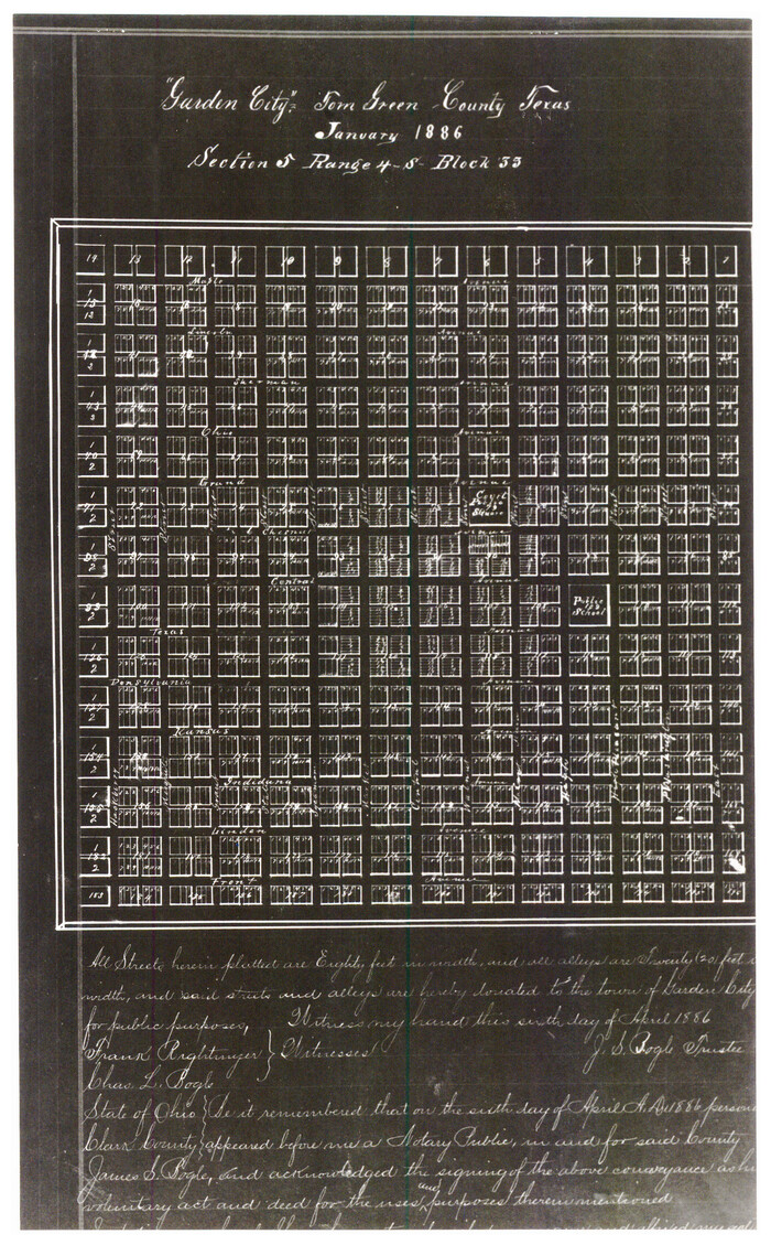

Print $3.00
- Digital $50.00
Garden City Townsite, Section 5, Range 4 South, Block 33
1886
Size 9.4 x 14.5 inches
Map/Doc 90764
Map in the Southern Portion of Pecos County Texas


Print $40.00
- Digital $50.00
Map in the Southern Portion of Pecos County Texas
1882
Size 64.6 x 21.6 inches
Map/Doc 89692
S. Part of Gomez


Print $20.00
- Digital $50.00
S. Part of Gomez
Size 23.5 x 19.6 inches
Map/Doc 92295
[T. A. Thomson Block T, R. M. Thomson Block 1]
![90968, [T. A. Thomson Block T, R. M. Thomson Block 1], Twichell Survey Records](https://historictexasmaps.com/wmedia_w700/maps/90968-1.tif.jpg)
![90968, [T. A. Thomson Block T, R. M. Thomson Block 1], Twichell Survey Records](https://historictexasmaps.com/wmedia_w700/maps/90968-1.tif.jpg)
Print $20.00
- Digital $50.00
[T. A. Thomson Block T, R. M. Thomson Block 1]
Size 12.3 x 17.5 inches
Map/Doc 90968
[Part of Block 3, Leagues 83, 84, 95, 96, 104, 105, 116-113, 127-132, 140-142]
![90572, [Part of Block 3, Leagues 83, 84, 95, 96, 104, 105, 116-113, 127-132, 140-142], Twichell Survey Records](https://historictexasmaps.com/wmedia_w700/maps/90572-1.tif.jpg)
![90572, [Part of Block 3, Leagues 83, 84, 95, 96, 104, 105, 116-113, 127-132, 140-142], Twichell Survey Records](https://historictexasmaps.com/wmedia_w700/maps/90572-1.tif.jpg)
Print $20.00
- Digital $50.00
[Part of Block 3, Leagues 83, 84, 95, 96, 104, 105, 116-113, 127-132, 140-142]
Size 25.9 x 31.6 inches
Map/Doc 90572
J. B. McCauley Irrigated Farm NW Quarter Section 20, Block E
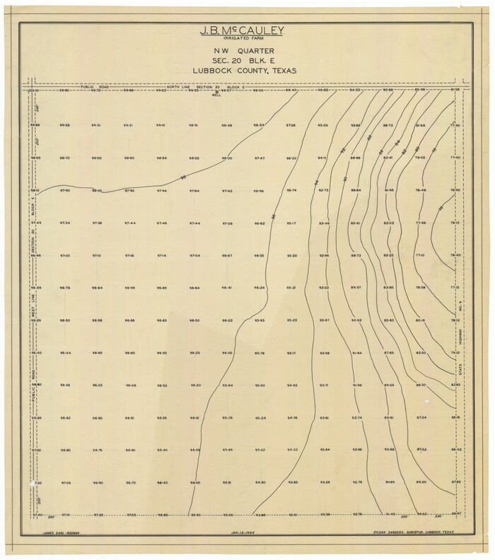

Print $20.00
- Digital $50.00
J. B. McCauley Irrigated Farm NW Quarter Section 20, Block E
1944
Size 20.5 x 23.0 inches
Map/Doc 92334
[University Lands Block 16 and Blocks 194, Z and part of 12]
![91618, [University Lands Block 16 and Blocks 194, Z and part of 12], Twichell Survey Records](https://historictexasmaps.com/wmedia_w700/maps/91618-1.tif.jpg)
![91618, [University Lands Block 16 and Blocks 194, Z and part of 12], Twichell Survey Records](https://historictexasmaps.com/wmedia_w700/maps/91618-1.tif.jpg)
Print $20.00
- Digital $50.00
[University Lands Block 16 and Blocks 194, Z and part of 12]
1911
Size 32.2 x 23.3 inches
Map/Doc 91618
[South Part of Terrell County, West Part of Val Verde County]
![91960, [South Part of Terrell County, West Part of Val Verde County], Twichell Survey Records](https://historictexasmaps.com/wmedia_w700/maps/91960-1.tif.jpg)
![91960, [South Part of Terrell County, West Part of Val Verde County], Twichell Survey Records](https://historictexasmaps.com/wmedia_w700/maps/91960-1.tif.jpg)
Print $20.00
- Digital $50.00
[South Part of Terrell County, West Part of Val Verde County]
Size 38.6 x 18.5 inches
Map/Doc 91960
Property of Hobbs Trailers Manufacturing Company
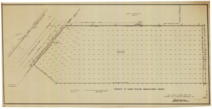

Print $20.00
- Digital $50.00
Property of Hobbs Trailers Manufacturing Company
1956
Size 36.6 x 18.9 inches
Map/Doc 92733
Working Sketch in Archer County
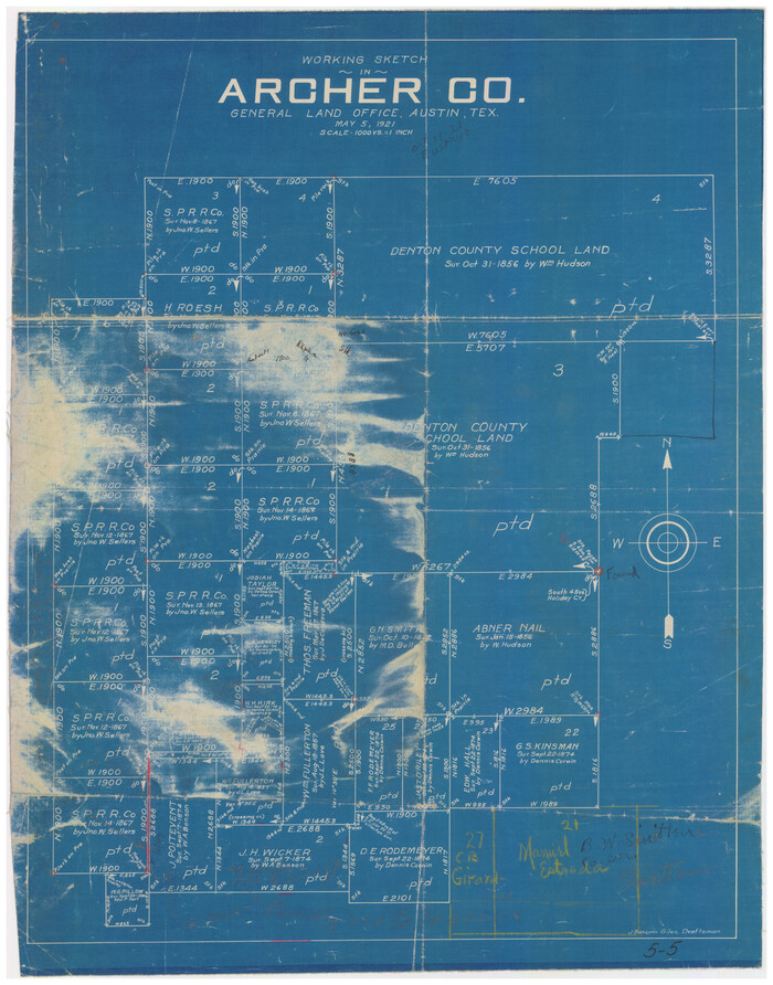

Print $20.00
- Digital $50.00
Working Sketch in Archer County
1921
Size 15.9 x 19.8 inches
Map/Doc 90169
You may also like
Fractional Township No. 8 South Range No. 19 East of the Indian Meridian, Indian Territory


Print $20.00
- Digital $50.00
Fractional Township No. 8 South Range No. 19 East of the Indian Meridian, Indian Territory
1897
Size 19.1 x 24.2 inches
Map/Doc 75234
Flight Mission No. DQN-5K, Frame 38, Calhoun County
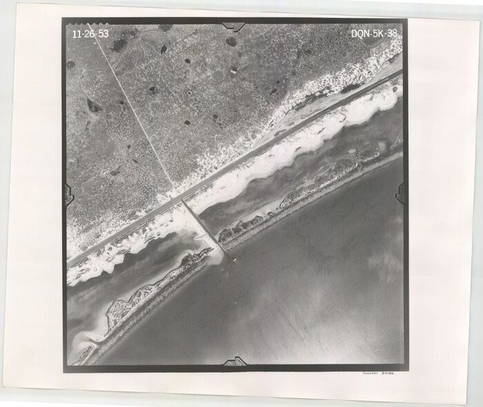

Print $20.00
- Digital $50.00
Flight Mission No. DQN-5K, Frame 38, Calhoun County
1953
Size 19.1 x 22.7 inches
Map/Doc 84386
Flight Mission No. BRE-1P, Frame 122, Nueces County


Print $20.00
- Digital $50.00
Flight Mission No. BRE-1P, Frame 122, Nueces County
1956
Size 18.7 x 22.7 inches
Map/Doc 86688
State of Texas, Wheeler County, Surveys 37-44-46, Block 17


Print $20.00
- Digital $50.00
State of Texas, Wheeler County, Surveys 37-44-46, Block 17
Size 19.4 x 13.0 inches
Map/Doc 92115
Gray County Boundary File 2
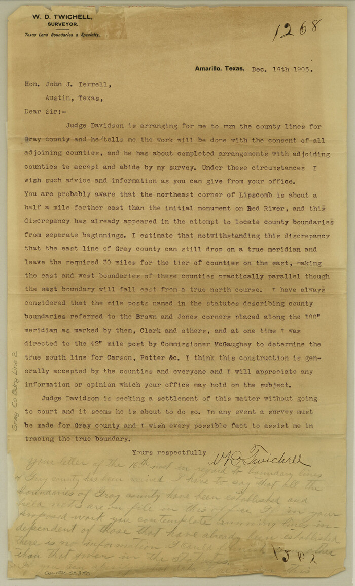

Print $8.00
- Digital $50.00
Gray County Boundary File 2
Size 14.2 x 8.6 inches
Map/Doc 53850
Eastern Heights Addition to City of Lubbock, Texas a Subdivision of SW/4 of SW/4, Section 5, Block O, E. Hayes Sieber, Owner


Print $20.00
- Digital $50.00
Eastern Heights Addition to City of Lubbock, Texas a Subdivision of SW/4 of SW/4, Section 5, Block O, E. Hayes Sieber, Owner
1952
Size 18.0 x 23.1 inches
Map/Doc 92783
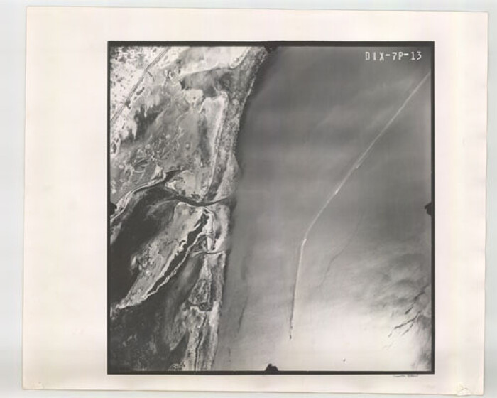
Flight Mission No. DIX-7P, Frame 13, Aransas County

Print $20.00
- Digital $50.00
Flight Mission No. DIX-7P, Frame 13, Aransas County
1956
Size 4.0 x 5.0 inches
Map/Doc 83865
[T. & P. Block 44, Township 1S]
![90893, [T. & P. Block 44, Township 1S], Twichell Survey Records](https://historictexasmaps.com/wmedia_w700/maps/90893-1.tif.jpg)
![90893, [T. & P. Block 44, Township 1S], Twichell Survey Records](https://historictexasmaps.com/wmedia_w700/maps/90893-1.tif.jpg)
Print $20.00
- Digital $50.00
[T. & P. Block 44, Township 1S]
Size 21.5 x 10.1 inches
Map/Doc 90893
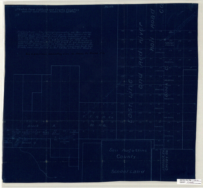
Crosby County Sketch File 14a

Print $40.00
- Digital $50.00
Crosby County Sketch File 14a
Size 18.9 x 20.5 inches
Map/Doc 11249
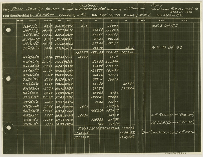
Terrell County Sketch File 27

Print $10.00
- Digital $50.00
Terrell County Sketch File 27
1936
Size 8.7 x 11.3 inches
Map/Doc 37971
![90804, [Area around Lee County School Land Leagues], Twichell Survey Records](https://historictexasmaps.com/wmedia_w1800h1800/maps/90804-1.tif.jpg)

