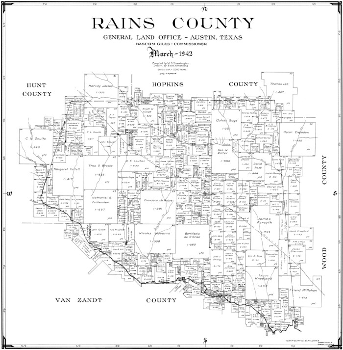
Houston and Great Northern Railroad Company [North of the 80 mile T. & P. Reserve]
85-32
-
Map/Doc
90895
-
Collection
Twichell Survey Records
-
Object Dates
4/30/1900 (Creation Date)
-
People and Organizations
General Land Office (Publisher)
-
Counties
Garza Borden Scurry
-
Height x Width
15.6 x 15.8 inches
39.6 x 40.1 cm
Part of: Twichell Survey Records
[T. & P. Blocks 35 and 36, Township 4 North; Block I, Township 4 North]
![91297, [T. & P. Blocks 35 and 36, Township 4 North; Block I, Township 4 North], Twichell Survey Records](https://historictexasmaps.com/wmedia_w700/maps/91297-1.tif.jpg)
![91297, [T. & P. Blocks 35 and 36, Township 4 North; Block I, Township 4 North], Twichell Survey Records](https://historictexasmaps.com/wmedia_w700/maps/91297-1.tif.jpg)
Print $20.00
- Digital $50.00
[T. & P. Blocks 35 and 36, Township 4 North; Block I, Township 4 North]
Size 19.3 x 22.2 inches
Map/Doc 91297
[School Leagues in Bailey and Lamb County]
![90987, [School Leagues in Bailey and Lamb County], Twichell Survey Records](https://historictexasmaps.com/wmedia_w700/maps/90987-2.tif.jpg)
![90987, [School Leagues in Bailey and Lamb County], Twichell Survey Records](https://historictexasmaps.com/wmedia_w700/maps/90987-2.tif.jpg)
Print $20.00
- Digital $50.00
[School Leagues in Bailey and Lamb County]
Size 30.5 x 25.2 inches
Map/Doc 90987
Section E Tech Memorial Park, Inc.


Print $20.00
- Digital $50.00
Section E Tech Memorial Park, Inc.
Size 30.9 x 19.1 inches
Map/Doc 92301
Working Sketch in Wichita County [in northern part of county]
![91992, Working Sketch in Wichita County [in northern part of county], Twichell Survey Records](https://historictexasmaps.com/wmedia_w700/maps/91992-1.tif.jpg)
![91992, Working Sketch in Wichita County [in northern part of county], Twichell Survey Records](https://historictexasmaps.com/wmedia_w700/maps/91992-1.tif.jpg)
Print $20.00
- Digital $50.00
Working Sketch in Wichita County [in northern part of county]
1919
Size 38.3 x 18.5 inches
Map/Doc 91992
[County School Lands]
![91109, [County School Lands], Twichell Survey Records](https://historictexasmaps.com/wmedia_w700/maps/91109-1.tif.jpg)
![91109, [County School Lands], Twichell Survey Records](https://historictexasmaps.com/wmedia_w700/maps/91109-1.tif.jpg)
Print $20.00
- Digital $50.00
[County School Lands]
Size 18.6 x 13.6 inches
Map/Doc 91109
Yoakum-Terry County Sketch


Print $20.00
- Digital $50.00
Yoakum-Terry County Sketch
Size 9.4 x 27.3 inches
Map/Doc 91977
Working Sketch Reeves County [showing Blocks 70-72, C-8, 9, 17-18, and Texas & Pacific RR Block 58]
![91770, Working Sketch Reeves County [showing Blocks 70-72, C-8, 9, 17-18, and Texas & Pacific RR Block 58], Twichell Survey Records](https://historictexasmaps.com/wmedia_w700/maps/91770-1.tif.jpg)
![91770, Working Sketch Reeves County [showing Blocks 70-72, C-8, 9, 17-18, and Texas & Pacific RR Block 58], Twichell Survey Records](https://historictexasmaps.com/wmedia_w700/maps/91770-1.tif.jpg)
Print $20.00
- Digital $50.00
Working Sketch Reeves County [showing Blocks 70-72, C-8, 9, 17-18, and Texas & Pacific RR Block 58]
1908
Size 21.6 x 17.2 inches
Map/Doc 91770
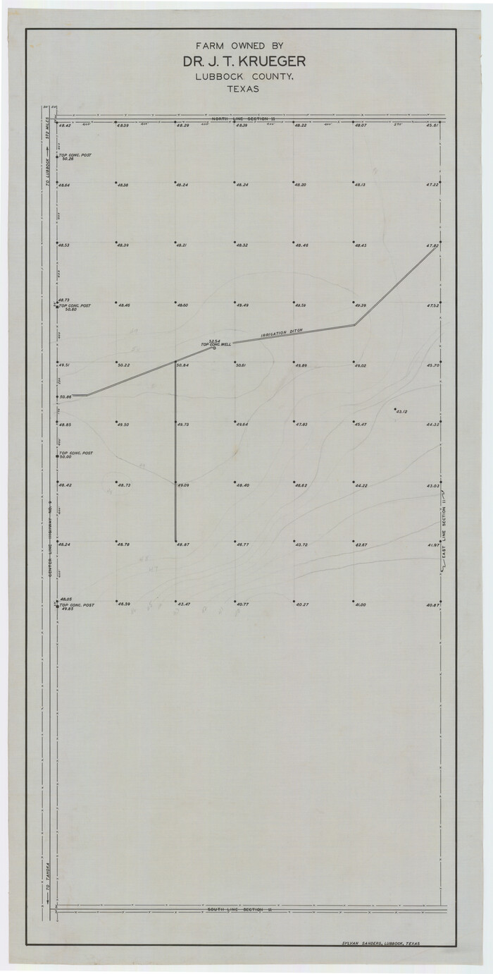
Farm Owned by Dr. J. T. Krueger

Print $20.00
- Digital $50.00
Farm Owned by Dr. J. T. Krueger
Size 16.9 x 32.8 inches
Map/Doc 92344
[Sketch focused on Southeast corner of Lubbock County]
![89899, [Sketch focused on Southeast corner of Lubbock County], Twichell Survey Records](https://historictexasmaps.com/wmedia_w700/maps/89899-1.tif.jpg)
![89899, [Sketch focused on Southeast corner of Lubbock County], Twichell Survey Records](https://historictexasmaps.com/wmedia_w700/maps/89899-1.tif.jpg)
Print $20.00
- Digital $50.00
[Sketch focused on Southeast corner of Lubbock County]
Size 42.8 x 36.9 inches
Map/Doc 89899
[Township 5-S, Blocks 36, 37 & 38]
![92292, [Township 5-S, Blocks 36, 37 & 38], Twichell Survey Records](https://historictexasmaps.com/wmedia_w700/maps/92292-1.tif.jpg)
![92292, [Township 5-S, Blocks 36, 37 & 38], Twichell Survey Records](https://historictexasmaps.com/wmedia_w700/maps/92292-1.tif.jpg)
Print $20.00
- Digital $50.00
[Township 5-S, Blocks 36, 37 & 38]
1952
Size 27.7 x 26.6 inches
Map/Doc 92292
You may also like
Plains, Yoakum County, Texas


Print $20.00
- Digital $50.00
Plains, Yoakum County, Texas
Size 41.0 x 43.6 inches
Map/Doc 89907
Maverick County Rolled Sketch 13


Print $20.00
- Digital $50.00
Maverick County Rolled Sketch 13
1848
Size 34.4 x 26.5 inches
Map/Doc 6706
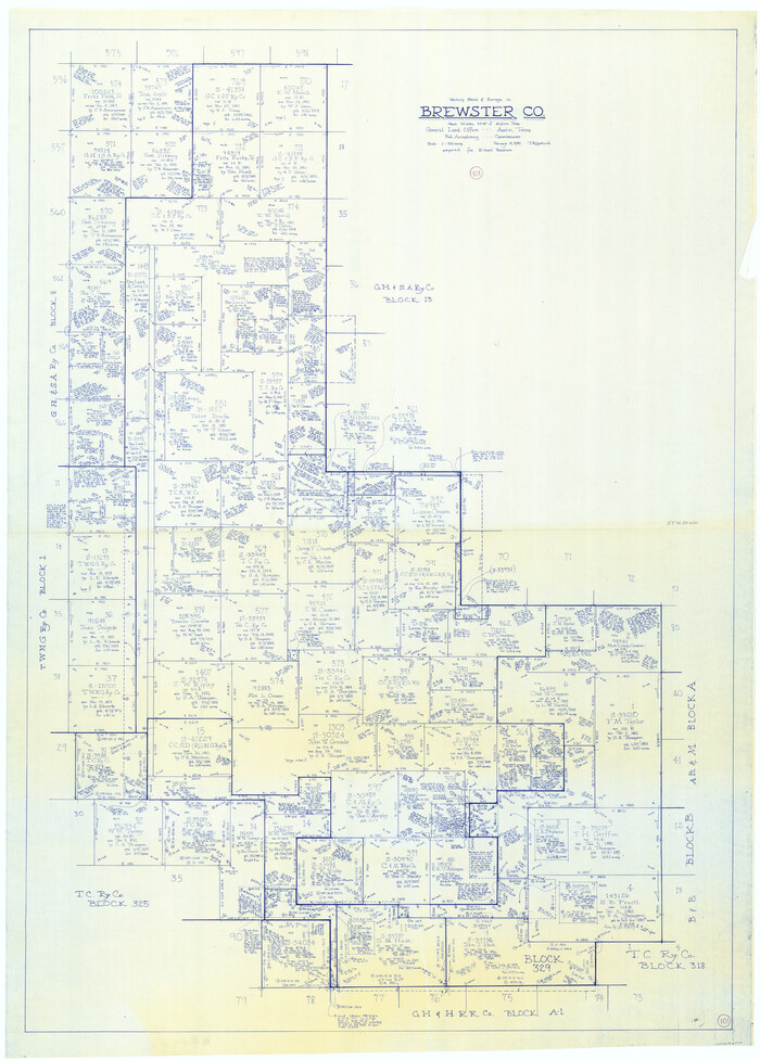
Brewster County Working Sketch 101

Print $40.00
- Digital $50.00
Brewster County Working Sketch 101
1980
Size 60.2 x 43.2 inches
Map/Doc 67701
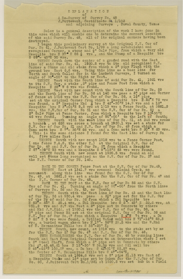
Duval County Sketch File 37

Print $8.00
- Digital $50.00
Duval County Sketch File 37
Size 13.7 x 9.0 inches
Map/Doc 21385
Brown County Sketch File 15


Print $4.00
- Digital $50.00
Brown County Sketch File 15
1857
Size 12.2 x 8.0 inches
Map/Doc 16610
Trinity County Rolled Sketch 2


Print $20.00
- Digital $50.00
Trinity County Rolled Sketch 2
1948
Size 34.5 x 34.9 inches
Map/Doc 10024
Crane County Rolled Sketch 9
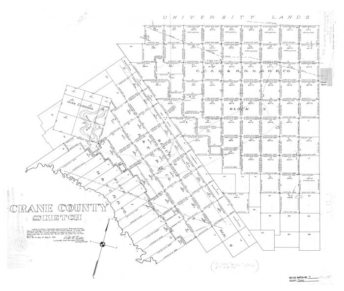

Print $20.00
- Digital $50.00
Crane County Rolled Sketch 9
1930
Size 29.6 x 35.0 inches
Map/Doc 5573
Motley County Sketch File 20 (S)
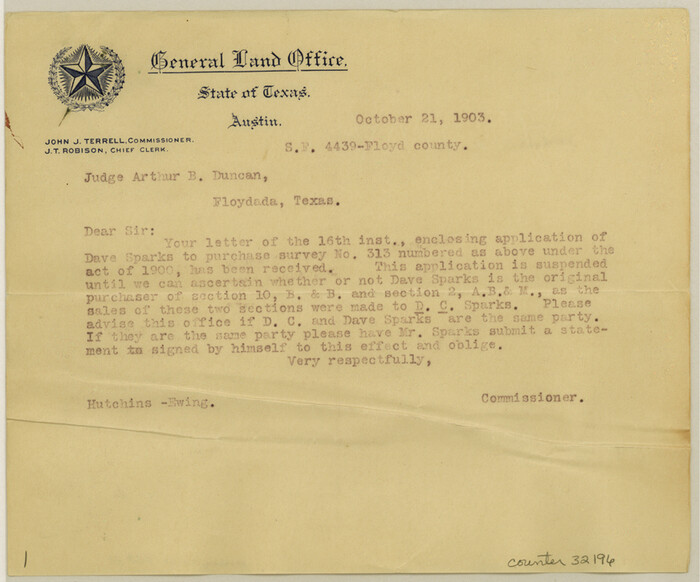

Print $14.00
- Digital $50.00
Motley County Sketch File 20 (S)
Size 7.2 x 8.7 inches
Map/Doc 32196
Milam County Rolled Sketch 3C
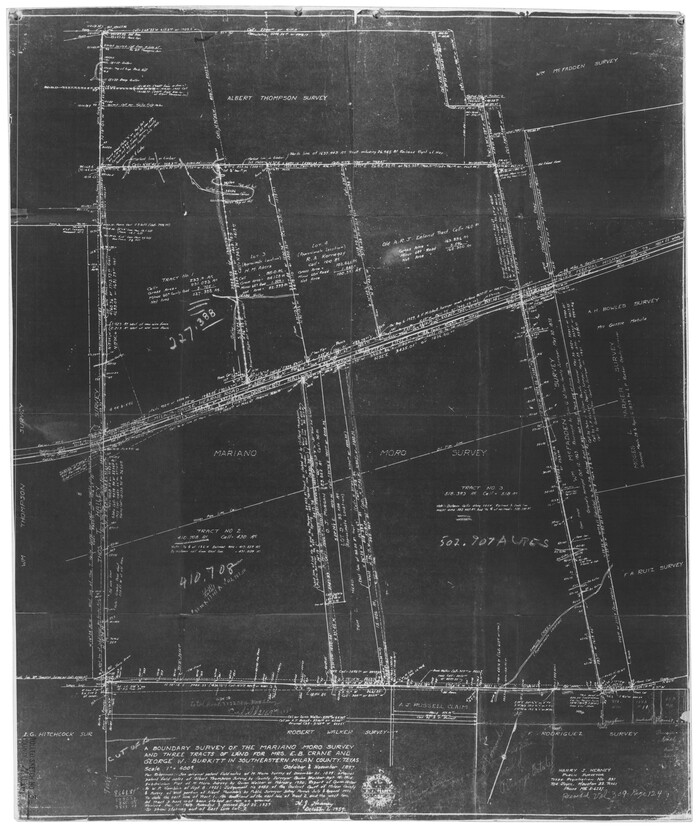

Print $20.00
- Digital $50.00
Milam County Rolled Sketch 3C
1959
Size 21.8 x 18.4 inches
Map/Doc 6776
[Townships 1 & 2, Blocks 53, 54, 55, and 76]
![92882, [Townships 1 & 2, Blocks 53, 54, 55, and 76], Twichell Survey Records](https://historictexasmaps.com/wmedia_w700/maps/92882-1.tif.jpg)
![92882, [Townships 1 & 2, Blocks 53, 54, 55, and 76], Twichell Survey Records](https://historictexasmaps.com/wmedia_w700/maps/92882-1.tif.jpg)
Print $20.00
- Digital $50.00
[Townships 1 & 2, Blocks 53, 54, 55, and 76]
Size 29.3 x 24.0 inches
Map/Doc 92882
Pecos County Working Sketch 124
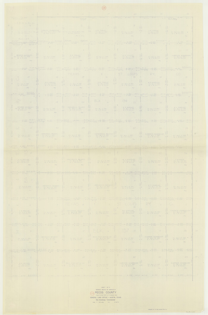

Print $40.00
- Digital $50.00
Pecos County Working Sketch 124
1974
Size 57.9 x 38.2 inches
Map/Doc 71597
![90895, Houston and Great Northern Railroad Company [North of the 80 mile T. & P. Reserve], Twichell Survey Records](https://historictexasmaps.com/wmedia_w1800h1800/maps/90895-1.tif.jpg)

![91466, [Block B7], Twichell Survey Records](https://historictexasmaps.com/wmedia_w700/maps/91466-1.tif.jpg)
