[Leagues in Northwest Lamb County]
140-69
-
Map/Doc
91073
-
Collection
Twichell Survey Records
-
People and Organizations
W.D. Twichell (Surveyor/Engineer)
-
Counties
Lamb
-
Height x Width
19.5 x 23.2 inches
49.5 x 58.9 cm
Part of: Twichell Survey Records
[1680 Bed of Rock 20 Feet in Diameter on East Bank of Concho Drain]
![91361, [1680 Bed of Rock 20 Feet in Diameter on East Bank of Concho Drain], Twichell Survey Records](https://historictexasmaps.com/wmedia_w700/maps/91361-1.tif.jpg)
![91361, [1680 Bed of Rock 20 Feet in Diameter on East Bank of Concho Drain], Twichell Survey Records](https://historictexasmaps.com/wmedia_w700/maps/91361-1.tif.jpg)
Print $20.00
- Digital $50.00
[1680 Bed of Rock 20 Feet in Diameter on East Bank of Concho Drain]
Size 25.4 x 15.1 inches
Map/Doc 91361
[Texas Boundary Line]
![92081, [Texas Boundary Line], Twichell Survey Records](https://historictexasmaps.com/wmedia_w700/maps/92081-1.tif.jpg)
![92081, [Texas Boundary Line], Twichell Survey Records](https://historictexasmaps.com/wmedia_w700/maps/92081-1.tif.jpg)
Print $20.00
- Digital $50.00
[Texas Boundary Line]
Size 21.2 x 12.4 inches
Map/Doc 92081
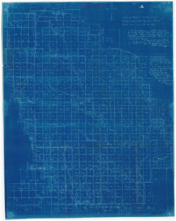
Map of Block 1, H. & G. N. Railroad Company

Print $20.00
- Digital $50.00
Map of Block 1, H. & G. N. Railroad Company
1909
Size 24.0 x 30.1 inches
Map/Doc 91017
[Sketch showing part of Blk. M6]
![89642, [Sketch showing part of Blk. M6], Twichell Survey Records](https://historictexasmaps.com/wmedia_w700/maps/89642-1.tif.jpg)
![89642, [Sketch showing part of Blk. M6], Twichell Survey Records](https://historictexasmaps.com/wmedia_w700/maps/89642-1.tif.jpg)
Print $40.00
- Digital $50.00
[Sketch showing part of Blk. M6]
1913
Size 64.8 x 30.3 inches
Map/Doc 89642
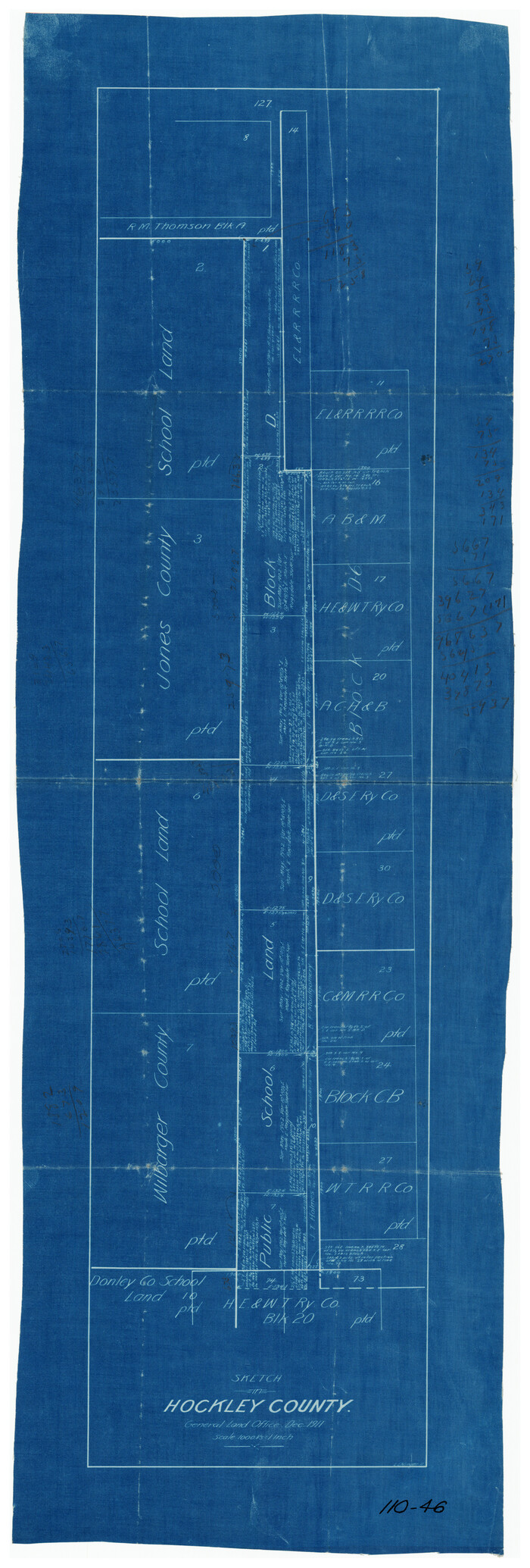
Sketch in Hockley County

Print $20.00
- Digital $50.00
Sketch in Hockley County
1911
Size 7.1 x 20.5 inches
Map/Doc 91123
[S. M. Walker, D. P. Allen, J. C. Guinn, J. R. Lamar and surrounding surveys]
![90334, [S. M. Walker, D. P. Allen, J. C. Guinn, J. R. Lamar and surrounding surveys], Twichell Survey Records](https://historictexasmaps.com/wmedia_w700/maps/90334-1.tif.jpg)
![90334, [S. M. Walker, D. P. Allen, J. C. Guinn, J. R. Lamar and surrounding surveys], Twichell Survey Records](https://historictexasmaps.com/wmedia_w700/maps/90334-1.tif.jpg)
Print $3.00
- Digital $50.00
[S. M. Walker, D. P. Allen, J. C. Guinn, J. R. Lamar and surrounding surveys]
1912
Size 9.7 x 11.2 inches
Map/Doc 90334
[W. C. RR. Co. Blks. 1 & 2, I. & G. N. RR. Co. Blk. 1, in southeast part of County]
![90487, [W. C. RR. Co. Blks. 1 & 2, I. & G. N. RR. Co. Blk. 1, in southeast part of County], Twichell Survey Records](https://historictexasmaps.com/wmedia_w700/maps/90487-1.tif.jpg)
![90487, [W. C. RR. Co. Blks. 1 & 2, I. & G. N. RR. Co. Blk. 1, in southeast part of County], Twichell Survey Records](https://historictexasmaps.com/wmedia_w700/maps/90487-1.tif.jpg)
Print $2.00
- Digital $50.00
[W. C. RR. Co. Blks. 1 & 2, I. & G. N. RR. Co. Blk. 1, in southeast part of County]
1879
Size 6.5 x 5.8 inches
Map/Doc 90487
[Southern Pacific Rail Road Co. Blocks 15 and 16 in Mitchell, Sterling and Coke Counties]
![91839, [Southern Pacific Rail Road Co. Blocks 15 and 16 in Mitchell, Sterling and Coke Counties], Twichell Survey Records](https://historictexasmaps.com/wmedia_w700/maps/91839-1.tif.jpg)
![91839, [Southern Pacific Rail Road Co. Blocks 15 and 16 in Mitchell, Sterling and Coke Counties], Twichell Survey Records](https://historictexasmaps.com/wmedia_w700/maps/91839-1.tif.jpg)
Print $20.00
- Digital $50.00
[Southern Pacific Rail Road Co. Blocks 15 and 16 in Mitchell, Sterling and Coke Counties]
Size 30.5 x 35.7 inches
Map/Doc 91839
[Field Notes attached to Sketch of North Line of Deaf Smith County and South Line of Oldham County]
![91406, [Field Notes attached to Sketch of North Line of Deaf Smith County and South Line of Oldham County], Twichell Survey Records](https://historictexasmaps.com/wmedia_w700/maps/91406-1.tif.jpg)
![91406, [Field Notes attached to Sketch of North Line of Deaf Smith County and South Line of Oldham County], Twichell Survey Records](https://historictexasmaps.com/wmedia_w700/maps/91406-1.tif.jpg)
Print $2.00
- Digital $50.00
[Field Notes attached to Sketch of North Line of Deaf Smith County and South Line of Oldham County]
1894
Size 8.9 x 14.4 inches
Map/Doc 91406
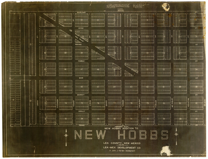
Amended Plat New Hobbs Addition to New Hobbs, Lea County, New Mexico

Print $20.00
- Digital $50.00
Amended Plat New Hobbs Addition to New Hobbs, Lea County, New Mexico
Size 24.1 x 18.5 inches
Map/Doc 92418
You may also like
Titus County Working Sketch 2


Print $20.00
- Digital $50.00
Titus County Working Sketch 2
Size 23.6 x 25.3 inches
Map/Doc 69363
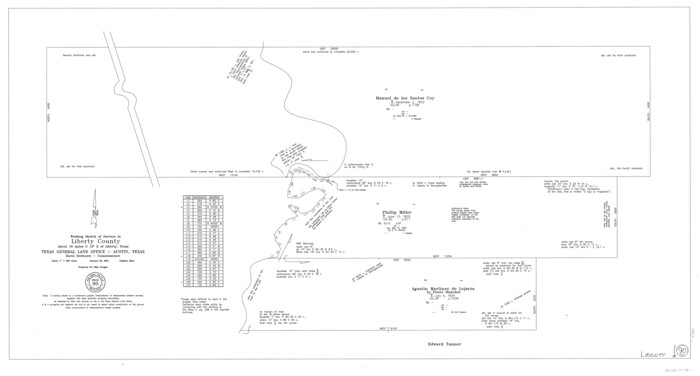
Liberty County Working Sketch 90

Print $20.00
- Digital $50.00
Liberty County Working Sketch 90
2001
Size 23.1 x 43.1 inches
Map/Doc 70550
[Map 1:] A Geographically Correct County Map of States Traversed by the St. Louis, Iron Mountain and Southern Railway and its connections / [Map 2:] Map of the St. Louis, Iron Mountain and Southern Railway, and connections
![95784, [Map 1:] A Geographically Correct County Map of States Traversed by the St. Louis, Iron Mountain and Southern Railway and its connections / [Map 2:] Map of the St. Louis, Iron Mountain and Southern Railway, and connections, Cobb Digital Map Collection - 1](https://historictexasmaps.com/wmedia_w700/maps/95784.tif.jpg)
![95784, [Map 1:] A Geographically Correct County Map of States Traversed by the St. Louis, Iron Mountain and Southern Railway and its connections / [Map 2:] Map of the St. Louis, Iron Mountain and Southern Railway, and connections, Cobb Digital Map Collection - 1](https://historictexasmaps.com/wmedia_w700/maps/95784.tif.jpg)
Print $20.00
- Digital $50.00
[Map 1:] A Geographically Correct County Map of States Traversed by the St. Louis, Iron Mountain and Southern Railway and its connections / [Map 2:] Map of the St. Louis, Iron Mountain and Southern Railway, and connections
1878
Size 18.9 x 32.2 inches
Map/Doc 95784
Presidio County Rolled Sketch 44
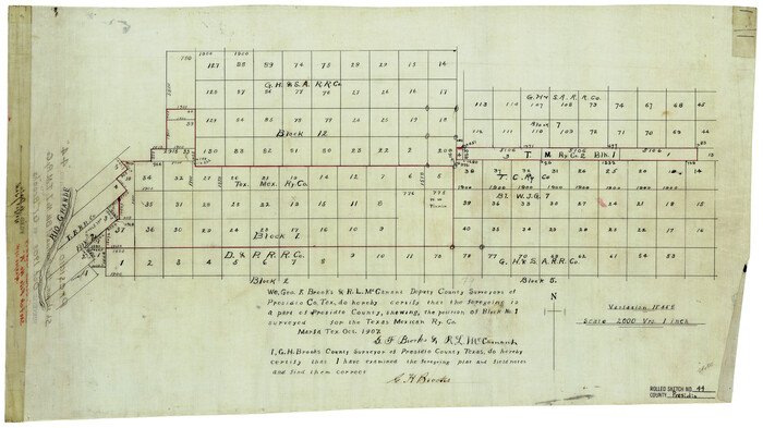

Print $20.00
- Digital $50.00
Presidio County Rolled Sketch 44
1907
Size 14.3 x 25.3 inches
Map/Doc 7341
Runnels County Working Sketch 7
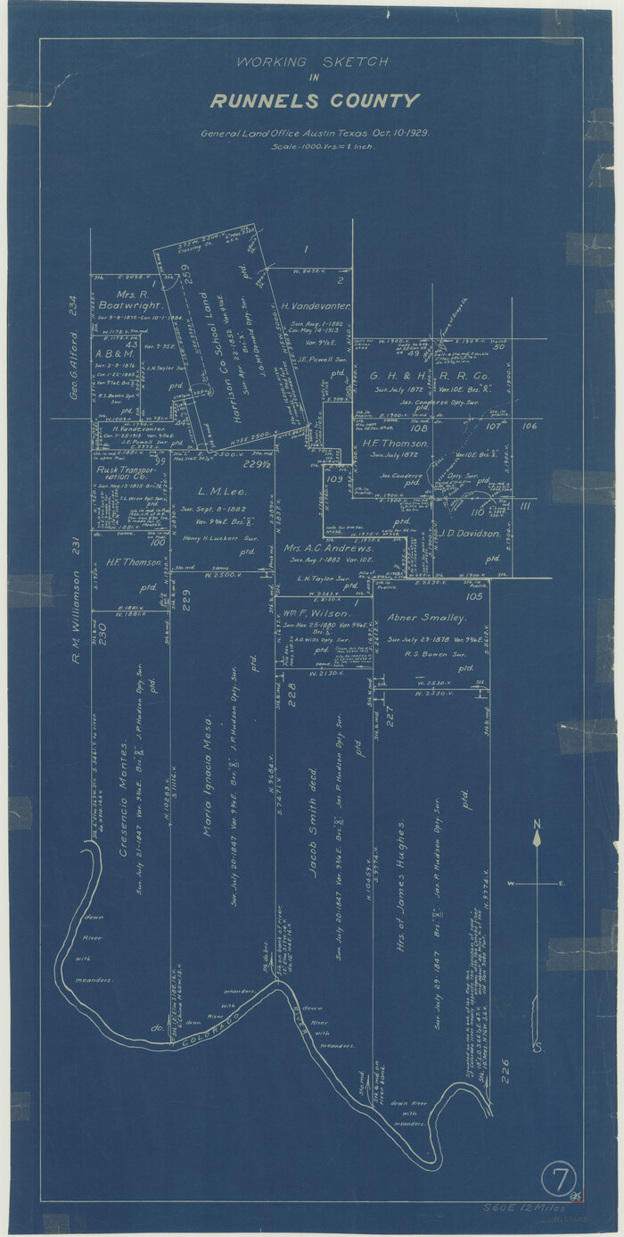

Print $20.00
- Digital $50.00
Runnels County Working Sketch 7
1929
Size 29.5 x 14.9 inches
Map/Doc 63603
Runnels County Sketch File 13

Print $2.00
Runnels County Sketch File 13
Size 8.0 x 6.2 inches
Map/Doc 35456
Flight Mission No. CLL-4N, Frame 35, Willacy County

Print $20.00
- Digital $50.00
Flight Mission No. CLL-4N, Frame 35, Willacy County
1954
Size 18.3 x 22.0 inches
Map/Doc 87108
Old Miscellaneous File 11
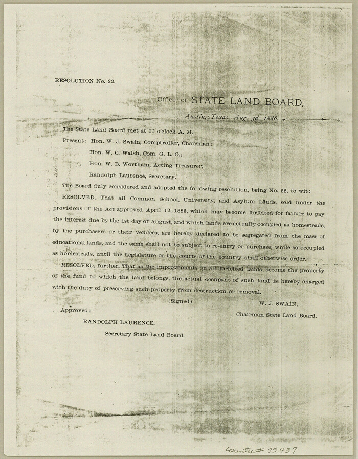

Print $4.00
- Digital $50.00
Old Miscellaneous File 11
1886
Size 11.2 x 8.8 inches
Map/Doc 75437
[Texas and Pacific Blocks 56-62, Townships 1-3]
![90501, [Texas and Pacific Blocks 56-62, Townships 1-3], Twichell Survey Records](https://historictexasmaps.com/wmedia_w700/maps/90501-1.tif.jpg)
![90501, [Texas and Pacific Blocks 56-62, Townships 1-3], Twichell Survey Records](https://historictexasmaps.com/wmedia_w700/maps/90501-1.tif.jpg)
Print $20.00
- Digital $50.00
[Texas and Pacific Blocks 56-62, Townships 1-3]
1885
Size 28.4 x 15.9 inches
Map/Doc 90501
Flight Mission No. DQO-1K, Frame 92, Galveston County


Print $20.00
- Digital $50.00
Flight Mission No. DQO-1K, Frame 92, Galveston County
1952
Size 18.9 x 22.6 inches
Map/Doc 84988
Travis County Rolled Sketch 25


Print $20.00
- Digital $50.00
Travis County Rolled Sketch 25
1942
Size 22.1 x 29.2 inches
Map/Doc 8026
![91073, [Leagues in Northwest Lamb County], Twichell Survey Records](https://historictexasmaps.com/wmedia_w1800h1800/maps/91073-1.tif.jpg)

![90607, [Block K8], Twichell Survey Records](https://historictexasmaps.com/wmedia_w700/maps/90607-1.tif.jpg)
