[F. W. & D. C. Ry. Co. Alignment and Right of Way Map, Clay County]
Z-2-203
-
Map/Doc
64746
-
Collection
General Map Collection
-
Object Dates
1927/8/18 (Creation Date)
-
People and Organizations
Office of Engineer Maintenance of Way (Publisher)
-
Counties
Montague
-
Subjects
Railroads
-
Height x Width
18.7 x 11.9 inches
47.5 x 30.2 cm
-
Medium
paper, photocopy
-
Scale
1" = 400 feet
-
Comments
See 64722 through 64745 and 64747 for all segments of this map.
-
Features
FW&DC
Part of: General Map Collection
Cochran County Boundary File 3a
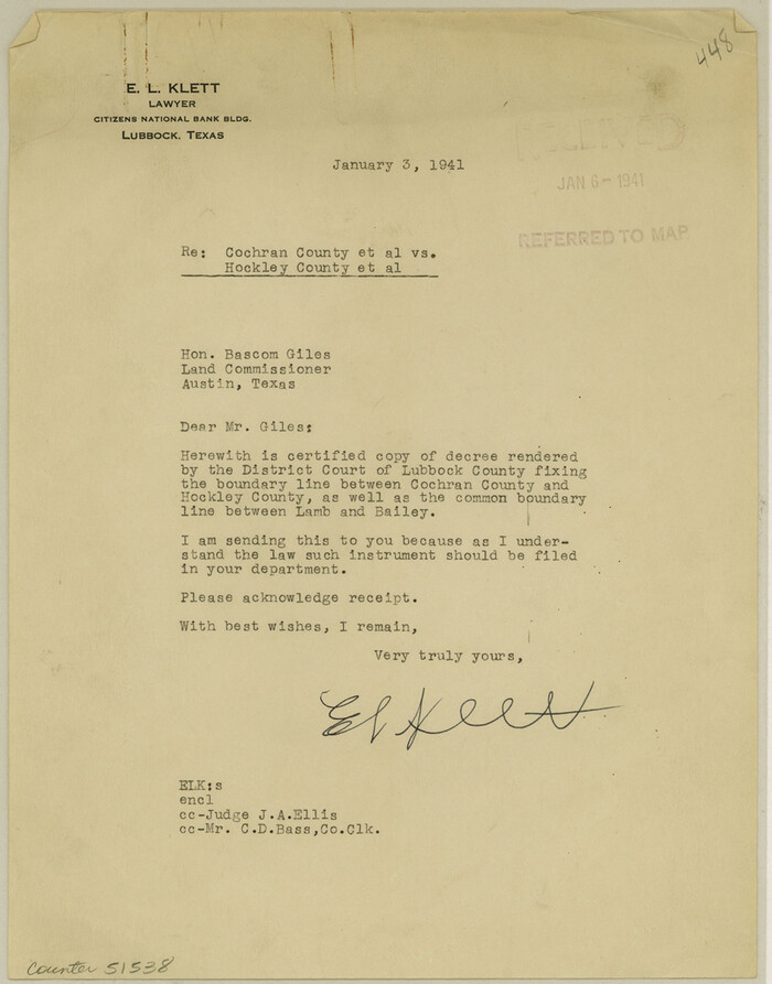

Print $34.00
- Digital $50.00
Cochran County Boundary File 3a
Size 11.2 x 8.8 inches
Map/Doc 51538
Midland County Working Sketch 16


Print $40.00
- Digital $50.00
Midland County Working Sketch 16
1953
Size 61.7 x 32.6 inches
Map/Doc 70996
Dawson County Working Sketch 2
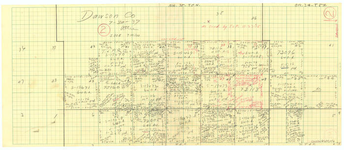

Print $20.00
- Digital $50.00
Dawson County Working Sketch 2
1937
Size 8.8 x 20.3 inches
Map/Doc 68546
Edwards County Working Sketch 52
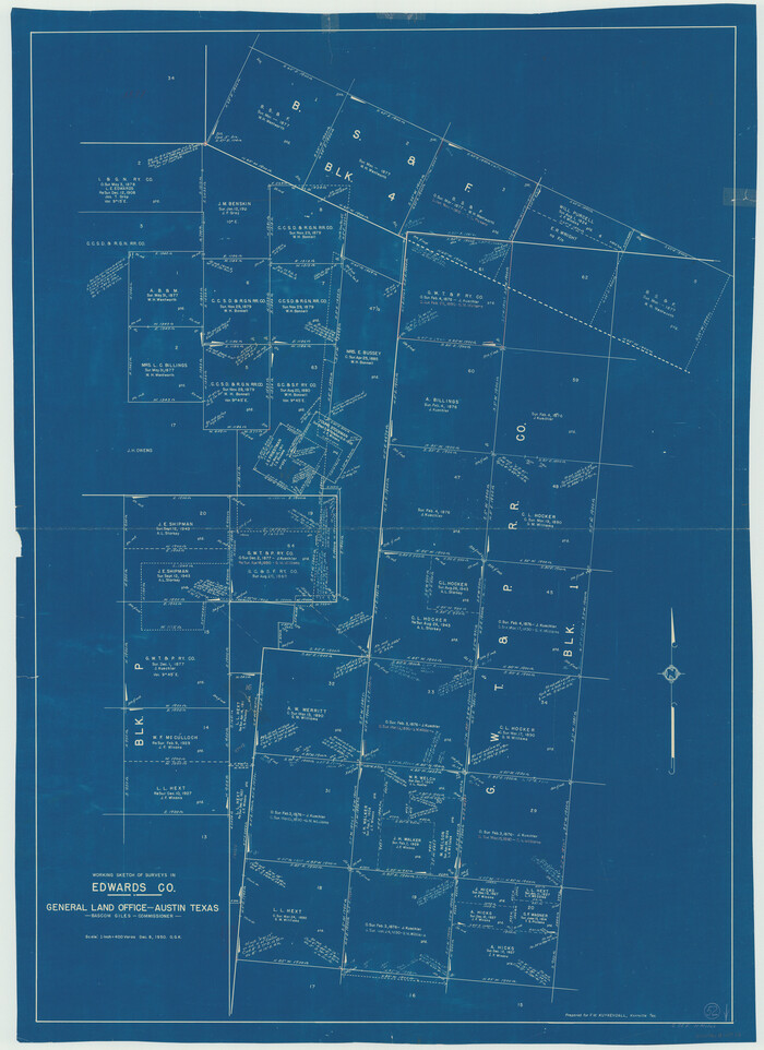

Print $20.00
- Digital $50.00
Edwards County Working Sketch 52
1950
Size 46.8 x 34.1 inches
Map/Doc 68928
Dimmit County Working Sketch 42


Print $20.00
- Digital $50.00
Dimmit County Working Sketch 42
1977
Size 33.5 x 39.6 inches
Map/Doc 68703
Zapata County Rolled Sketch 19


Print $20.00
- Digital $50.00
Zapata County Rolled Sketch 19
1955
Size 29.0 x 20.9 inches
Map/Doc 8316
Dallas County Working Sketch 5


Print $20.00
- Digital $50.00
Dallas County Working Sketch 5
1941
Size 18.7 x 16.4 inches
Map/Doc 68571
Jefferson County Sketch File 46


Print $20.00
- Digital $50.00
Jefferson County Sketch File 46
1933
Size 20.8 x 31.2 inches
Map/Doc 11880
Reagan County
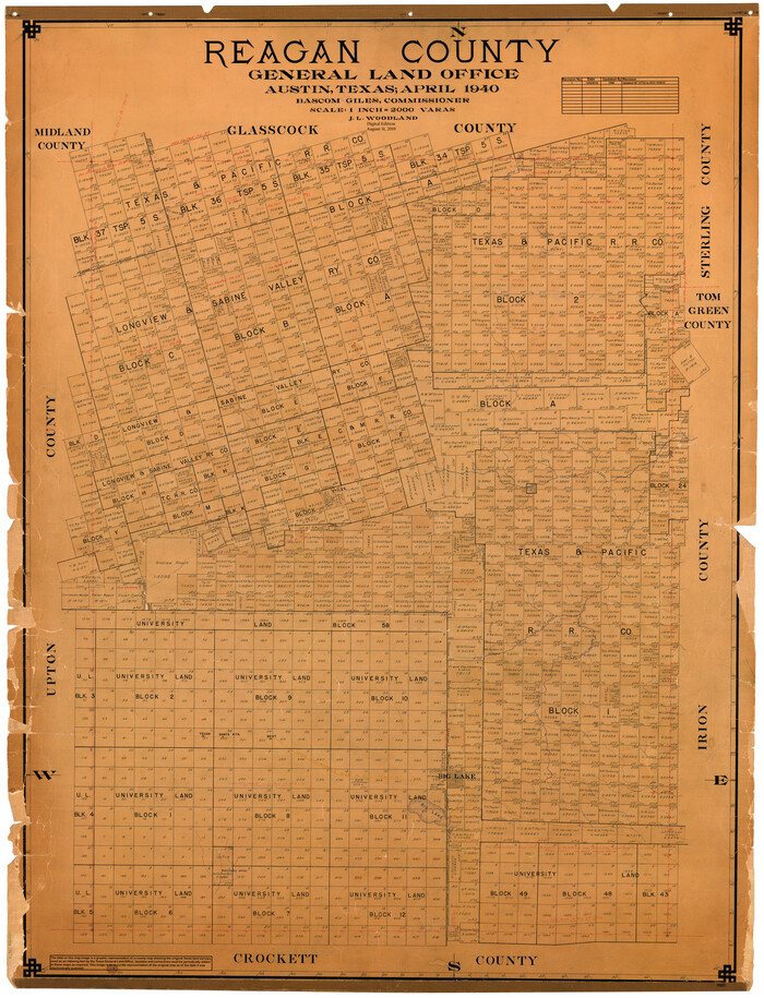

Print $40.00
- Digital $50.00
Reagan County
1940
Size 50.8 x 41.2 inches
Map/Doc 95621
Kinney County
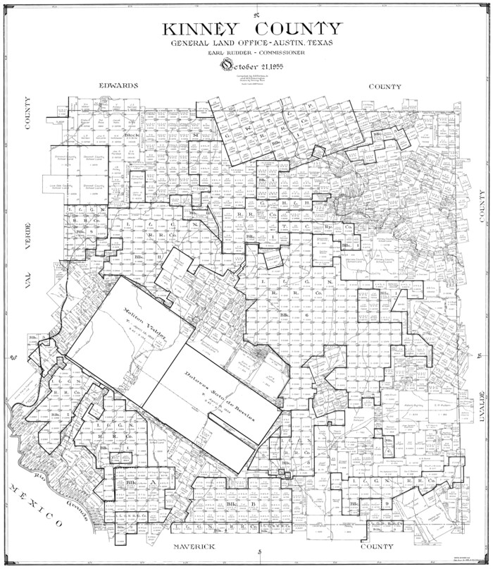

Print $40.00
- Digital $50.00
Kinney County
1955
Size 48.9 x 42.4 inches
Map/Doc 77342
Erath County Sketch File 2
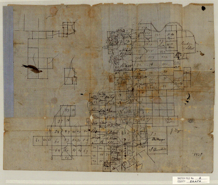

Print $20.00
- Digital $50.00
Erath County Sketch File 2
Size 13.2 x 15.5 inches
Map/Doc 11463
Hutchinson County Working Sketch 1
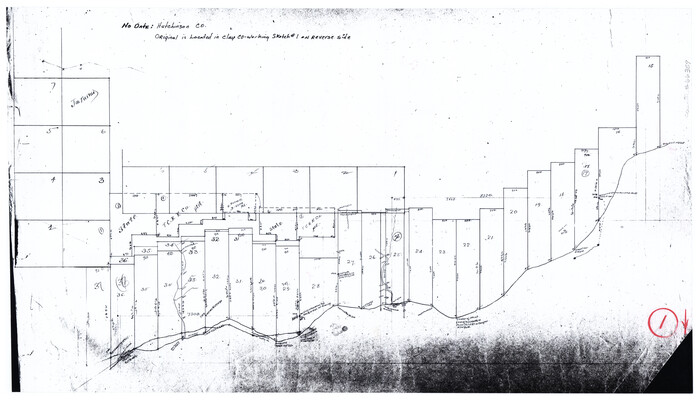

Print $3.00
- Digital $50.00
Hutchinson County Working Sketch 1
Size 9.5 x 17.0 inches
Map/Doc 66359
You may also like
[Surveys around the Martha Barker survey]
![90235, [Surveys around the Martha Barker survey], Twichell Survey Records](https://historictexasmaps.com/wmedia_w700/maps/90235-1.tif.jpg)
![90235, [Surveys around the Martha Barker survey], Twichell Survey Records](https://historictexasmaps.com/wmedia_w700/maps/90235-1.tif.jpg)
Print $20.00
- Digital $50.00
[Surveys around the Martha Barker survey]
Size 26.8 x 20.2 inches
Map/Doc 90235
Wharton County Sketch File 10
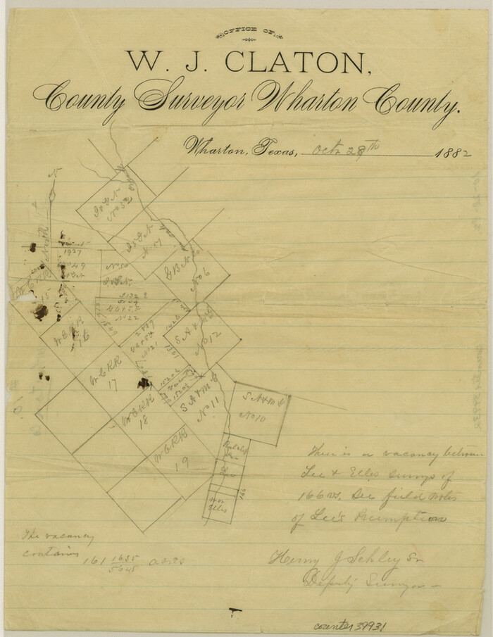

Print $4.00
- Digital $50.00
Wharton County Sketch File 10
1882
Size 10.9 x 8.5 inches
Map/Doc 39931
Map of the United States of America, the British Provinces, Mexico, the West Indies and Central America with part of New Granada and Venezuela


Print $20.00
- Digital $50.00
Map of the United States of America, the British Provinces, Mexico, the West Indies and Central America with part of New Granada and Venezuela
1855
Size 34.7 x 44.0 inches
Map/Doc 93904
Cooke County Sketch File 28


Print $4.00
- Digital $50.00
Cooke County Sketch File 28
1872
Size 12.8 x 8.5 inches
Map/Doc 19281
Map of Voss, Texas, Coleman County
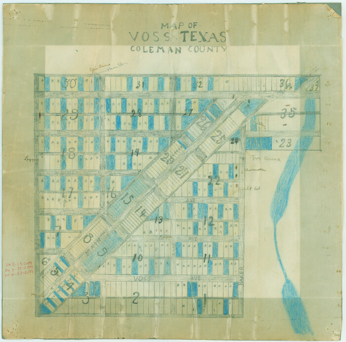

Print $20.00
- Digital $50.00
Map of Voss, Texas, Coleman County
Size 15.8 x 16.0 inches
Map/Doc 81519
Montgomery County Working Sketch 25


Print $40.00
- Digital $50.00
Montgomery County Working Sketch 25
1941
Size 50.0 x 43.7 inches
Map/Doc 71132
[Texas & Pacific Railway through Callahan County]
![64239, [Texas & Pacific Railway through Callahan County], General Map Collection](https://historictexasmaps.com/wmedia_w700/maps/64239.tif.jpg)
![64239, [Texas & Pacific Railway through Callahan County], General Map Collection](https://historictexasmaps.com/wmedia_w700/maps/64239.tif.jpg)
Print $20.00
- Digital $50.00
[Texas & Pacific Railway through Callahan County]
1918
Size 21.1 x 9.3 inches
Map/Doc 64239
Mills County Sketch File 14a
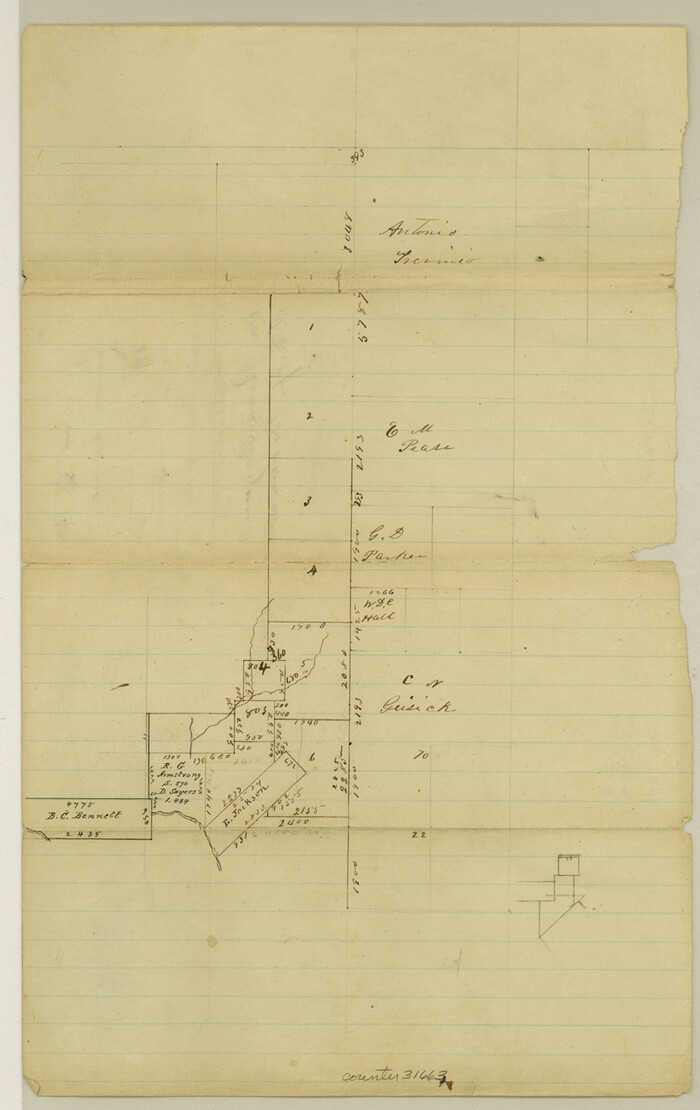

Print $4.00
- Digital $50.00
Mills County Sketch File 14a
Size 13.0 x 8.2 inches
Map/Doc 31663
Briscoe County Sketch File 2a
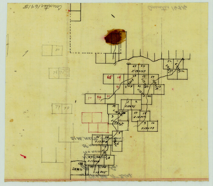

Print $4.00
- Digital $50.00
Briscoe County Sketch File 2a
Size 6.2 x 7.1 inches
Map/Doc 16415
General Highway Map, Denton County, Texas


Print $20.00
General Highway Map, Denton County, Texas
1939
Size 18.5 x 25.3 inches
Map/Doc 79074
Cooke County Boundary File 20


Print $88.00
- Digital $50.00
Cooke County Boundary File 20
Size 3.2 x 8.6 inches
Map/Doc 51873
Upton County Working Sketch 20
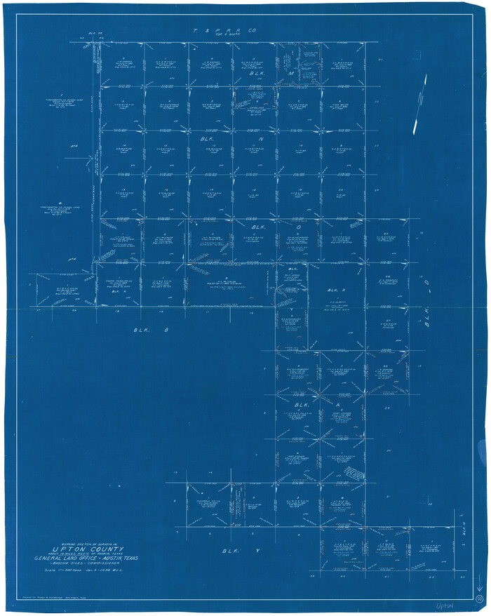

Print $40.00
- Digital $50.00
Upton County Working Sketch 20
1950
Size 52.8 x 42.1 inches
Map/Doc 69516
![64746, [F. W. & D. C. Ry. Co. Alignment and Right of Way Map, Clay County], General Map Collection](https://historictexasmaps.com/wmedia_w1800h1800/maps/64746-GC.tif.jpg)