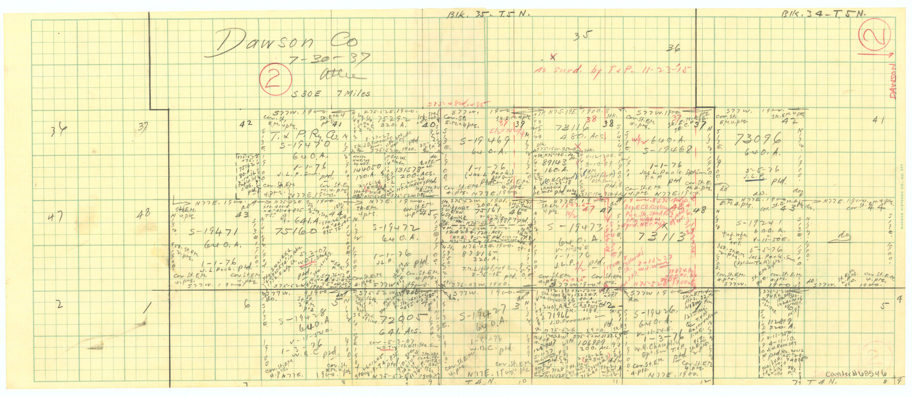
Dawson County Working Sketch 2
-
Map/Doc
68546
-
Collection
General Map Collection
-
Object Dates
7/30/1937 (Creation Date)
-
People and Organizations
Tom Atlee (Draftsman)
-
Counties
Dawson
-
Subjects
Surveying Working Sketch
-
Height x Width
8.8 x 20.3 inches
22.4 x 51.6 cm
Part of: General Map Collection
Red River, Kelsey Sheet, Upshur County

Print $4.00
- Digital $50.00
Red River, Kelsey Sheet, Upshur County
1933
Size 21.1 x 24.2 inches
Map/Doc 65056
Liberty County Working Sketch 79

Print $40.00
- Digital $50.00
Liberty County Working Sketch 79
1981
Size 63.7 x 41.4 inches
Map/Doc 70539
Van Zandt County Working Sketch 4

Print $20.00
- Digital $50.00
Van Zandt County Working Sketch 4
1929
Size 16.3 x 26.8 inches
Map/Doc 72253
Map of Calhoun County

Print $20.00
- Digital $50.00
Map of Calhoun County
1863
Size 23.0 x 19.5 inches
Map/Doc 887
Caldwell County Sketch File 4b

Print $8.00
- Digital $50.00
Caldwell County Sketch File 4b
1896
Size 6.4 x 3.8 inches
Map/Doc 35839
Flight Mission No. CGI-1N, Frame 213, Cameron County

Print $20.00
- Digital $50.00
Flight Mission No. CGI-1N, Frame 213, Cameron County
1955
Size 18.5 x 22.2 inches
Map/Doc 84522
Howard County Working Sketch 2

Print $20.00
- Digital $50.00
Howard County Working Sketch 2
1903
Size 21.7 x 20.9 inches
Map/Doc 66268
Flight Mission No. BRE-2P, Frame 110, Nueces County

Print $20.00
- Digital $50.00
Flight Mission No. BRE-2P, Frame 110, Nueces County
1956
Size 18.6 x 22.6 inches
Map/Doc 86796
Gulf Coast of the United States, Key West to Rio Grande

Print $20.00
- Digital $50.00
Gulf Coast of the United States, Key West to Rio Grande
1863
Size 27.5 x 18.2 inches
Map/Doc 72665
Bell County Working Sketch 10

Print $20.00
- Digital $50.00
Bell County Working Sketch 10
1954
Size 38.2 x 41.4 inches
Map/Doc 67350
Harris County Sketch File 1b

Print $3.00
- Digital $50.00
Harris County Sketch File 1b
Size 15.3 x 10.4 inches
Map/Doc 25330
Flight Mission No. DQO-2K, Frame 148, Galveston County

Print $20.00
- Digital $50.00
Flight Mission No. DQO-2K, Frame 148, Galveston County
1952
Size 18.8 x 22.5 inches
Map/Doc 85045
You may also like
Childress County Sketch File 16a

Print $16.00
- Digital $50.00
Childress County Sketch File 16a
1901
Size 13.3 x 8.3 inches
Map/Doc 18309
McMullen County Rolled Sketch 3

Print $20.00
- Digital $50.00
McMullen County Rolled Sketch 3
1937
Size 16.2 x 37.2 inches
Map/Doc 6722
Ed F. Mann and Ed Liedtke's Subdivision of Leagues 22 and 23 McCulloch County School Land Hockley County, Texas

Print $20.00
- Digital $50.00
Ed F. Mann and Ed Liedtke's Subdivision of Leagues 22 and 23 McCulloch County School Land Hockley County, Texas
Size 25.9 x 22.0 inches
Map/Doc 92212
Presidio County Sketch File 84

Print $20.00
- Digital $50.00
Presidio County Sketch File 84
1949
Size 15.2 x 37.2 inches
Map/Doc 11723

Lampasas County Boundary File 14

Print $10.00
- Digital $50.00
Lampasas County Boundary File 14
Size 13.3 x 8.3 inches
Map/Doc 56198
Flight Mission No. CRC-5R, Frame 43, Chambers County

Print $20.00
- Digital $50.00
Flight Mission No. CRC-5R, Frame 43, Chambers County
1956
Size 18.6 x 22.3 inches
Map/Doc 84962
Harris County Working Sketch 120

Print $20.00
- Digital $50.00
Harris County Working Sketch 120
1985
Size 29.3 x 14.6 inches
Map/Doc 66012
Map of Galveston, Texas, Showing the Rebel Line of Works. Surveyed and Drawn by Order of G.L. Gillespie, Brevet Major and Chief Engr., Mil. Div. of the Gulf, Under the Direction of Lt. S.E. McGregory, Comdg. Topl. Party, by Pl. St. Vignes, Asst.

Print $20.00
Map of Galveston, Texas, Showing the Rebel Line of Works. Surveyed and Drawn by Order of G.L. Gillespie, Brevet Major and Chief Engr., Mil. Div. of the Gulf, Under the Direction of Lt. S.E. McGregory, Comdg. Topl. Party, by Pl. St. Vignes, Asst.
1861
Size 25.3 x 38.7 inches
Map/Doc 88594
Flight Mission No. DQN-5K, Frame 38, Calhoun County

Print $20.00
- Digital $50.00
Flight Mission No. DQN-5K, Frame 38, Calhoun County
1953
Size 19.1 x 22.7 inches
Map/Doc 84386
Political Essay on the Kingdom of New Spain Vol. 2, Third Edition

Political Essay on the Kingdom of New Spain Vol. 2, Third Edition
1822
Map/Doc 97387
General Highway Map, La Salle County, Texas

Print $20.00
General Highway Map, La Salle County, Texas
1961
Size 18.2 x 25.0 inches
Map/Doc 79564