[North Part of T. A. Thomson, Block T]
140-77
-
Map/Doc
91075
-
Collection
Twichell Survey Records
-
Counties
Lamb
-
Height x Width
17.6 x 14.3 inches
44.7 x 36.3 cm
Part of: Twichell Survey Records
[Sketch of part of Blks. 4, 6, B5, 2Z, M6, M8, and M13]
![89643, [Sketch of part of Blks. 4, 6, B5, 2Z, M6, M8, and M13], Twichell Survey Records](https://historictexasmaps.com/wmedia_w700/maps/89643-1.tif.jpg)
![89643, [Sketch of part of Blks. 4, 6, B5, 2Z, M6, M8, and M13], Twichell Survey Records](https://historictexasmaps.com/wmedia_w700/maps/89643-1.tif.jpg)
Print $40.00
- Digital $50.00
[Sketch of part of Blks. 4, 6, B5, 2Z, M6, M8, and M13]
Size 55.2 x 26.8 inches
Map/Doc 89643
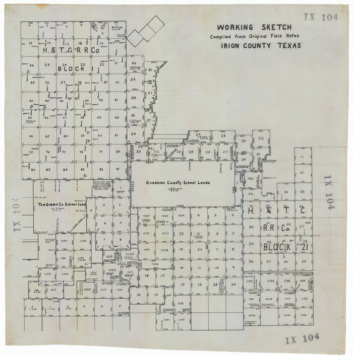
Working Sketch Compiled from Original Field Notes Irion County, Texas

Print $20.00
- Digital $50.00
Working Sketch Compiled from Original Field Notes Irion County, Texas
Size 19.4 x 19.5 inches
Map/Doc 92187
[Pencil sketch around the Fred Mohler survey 19]
![92994, [Pencil sketch around the Fred Mohler survey 19], Twichell Survey Records](https://historictexasmaps.com/wmedia_w700/maps/92994-1.tif.jpg)
![92994, [Pencil sketch around the Fred Mohler survey 19], Twichell Survey Records](https://historictexasmaps.com/wmedia_w700/maps/92994-1.tif.jpg)
Print $3.00
- Digital $50.00
[Pencil sketch around the Fred Mohler survey 19]
Size 14.1 x 10.4 inches
Map/Doc 92994
[G. B. & C. Blocks K3 and K4]
![90512, [G. B. & C. Blocks K3 and K4], Twichell Survey Records](https://historictexasmaps.com/wmedia_w700/maps/90512-1.tif.jpg)
![90512, [G. B. & C. Blocks K3 and K4], Twichell Survey Records](https://historictexasmaps.com/wmedia_w700/maps/90512-1.tif.jpg)
Print $20.00
- Digital $50.00
[G. B. & C. Blocks K3 and K4]
Size 14.0 x 14.5 inches
Map/Doc 90512
[Report showing connections and corners made on ground in south part of Yoakum County and north part of Gaines County, Texas]


[Report showing connections and corners made on ground in south part of Yoakum County and north part of Gaines County, Texas]
1938
Size 8.1 x 10.9 inches
Map/Doc 93256
[Emile Snow Lands and vicinity]
![91147, [Emile Snow Lands and vicinity], Twichell Survey Records](https://historictexasmaps.com/wmedia_w700/maps/91147-1.tif.jpg)
![91147, [Emile Snow Lands and vicinity], Twichell Survey Records](https://historictexasmaps.com/wmedia_w700/maps/91147-1.tif.jpg)
Print $20.00
- Digital $50.00
[Emile Snow Lands and vicinity]
Size 10.7 x 18.9 inches
Map/Doc 91147
[Leagues 157-160]
![90298, [Leagues 157-160], Twichell Survey Records](https://historictexasmaps.com/wmedia_w700/maps/90298-1.tif.jpg)
![90298, [Leagues 157-160], Twichell Survey Records](https://historictexasmaps.com/wmedia_w700/maps/90298-1.tif.jpg)
Print $20.00
- Digital $50.00
[Leagues 157-160]
Size 8.2 x 22.6 inches
Map/Doc 90298
[G. H. & H. RR. Co. Block 5 and surrounding surveys]
![90877, [G. H. & H. RR. Co. Block 5 and surrounding surveys], Twichell Survey Records](https://historictexasmaps.com/wmedia_w700/maps/90877-2.tif.jpg)
![90877, [G. H. & H. RR. Co. Block 5 and surrounding surveys], Twichell Survey Records](https://historictexasmaps.com/wmedia_w700/maps/90877-2.tif.jpg)
Print $20.00
- Digital $50.00
[G. H. & H. RR. Co. Block 5 and surrounding surveys]
1901
Size 28.0 x 15.2 inches
Map/Doc 90877
Plat of E. C. Stovall's Irrigated Plantation, Young Co., Texas


Print $20.00
- Digital $50.00
Plat of E. C. Stovall's Irrigated Plantation, Young Co., Texas
Size 17.6 x 14.7 inches
Map/Doc 92019
[Blocks A-6, A-7, G, C-35, C-34]
![92816, [Blocks A-6, A-7, G, C-35, C-34], Twichell Survey Records](https://historictexasmaps.com/wmedia_w700/maps/92816-1.tif.jpg)
![92816, [Blocks A-6, A-7, G, C-35, C-34], Twichell Survey Records](https://historictexasmaps.com/wmedia_w700/maps/92816-1.tif.jpg)
Print $20.00
- Digital $50.00
[Blocks A-6, A-7, G, C-35, C-34]
Size 43.5 x 20.2 inches
Map/Doc 92816
[Sketch along Garza-Kent County Line]
![89920, [Sketch along Garza-Kent County Line], Twichell Survey Records](https://historictexasmaps.com/wmedia_w700/maps/89920-1.tif.jpg)
![89920, [Sketch along Garza-Kent County Line], Twichell Survey Records](https://historictexasmaps.com/wmedia_w700/maps/89920-1.tif.jpg)
Print $20.00
- Digital $50.00
[Sketch along Garza-Kent County Line]
Size 41.5 x 43.7 inches
Map/Doc 89920
You may also like
Flight Mission No. CGN-3P, Frame 140, San Patricio County


Print $20.00
- Digital $50.00
Flight Mission No. CGN-3P, Frame 140, San Patricio County
1956
Size 18.5 x 22.3 inches
Map/Doc 86984
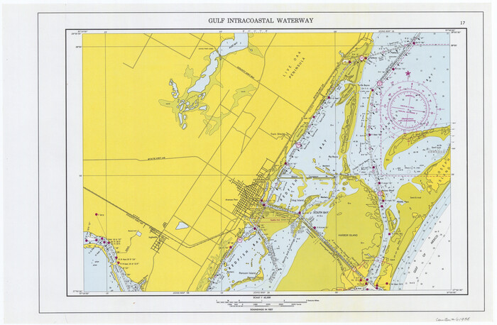
Maps of Gulf Intracoastal Waterway, Texas - Sabine River to the Rio Grande and connecting waterways including ship channels

Print $20.00
- Digital $50.00
Maps of Gulf Intracoastal Waterway, Texas - Sabine River to the Rio Grande and connecting waterways including ship channels
1966
Size 14.6 x 22.3 inches
Map/Doc 61938
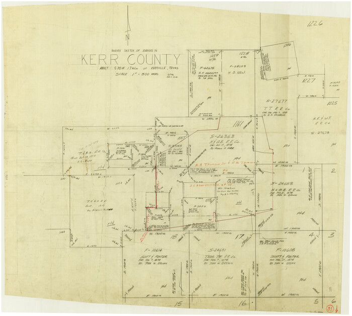
Kerr County Working Sketch 33

Print $20.00
- Digital $50.00
Kerr County Working Sketch 33
Size 30.0 x 33.7 inches
Map/Doc 70064
Carte Reduit d'une partie des Côtes des Isles Australes


Print $20.00
- Digital $50.00
Carte Reduit d'une partie des Côtes des Isles Australes
1782
Size 12.7 x 17.3 inches
Map/Doc 97122
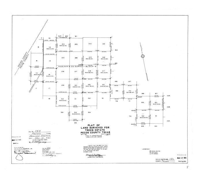
Pecos County Rolled Sketch 153

Print $20.00
- Digital $50.00
Pecos County Rolled Sketch 153
1960
Size 20.2 x 22.7 inches
Map/Doc 7282
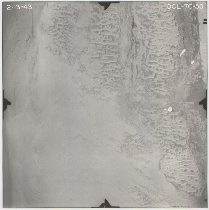
Flight Mission No. DCL-7C, Frame 50, Kenedy County

Print $20.00
- Digital $50.00
Flight Mission No. DCL-7C, Frame 50, Kenedy County
1943
Size 16.6 x 16.5 inches
Map/Doc 86038
Culberson County Working Sketch 47


Print $20.00
- Digital $50.00
Culberson County Working Sketch 47
1971
Size 25.7 x 36.5 inches
Map/Doc 68501
Bee County Sketch File 34


Print $14.00
Bee County Sketch File 34
2022
Size 11.0 x 8.5 inches
Map/Doc 97030
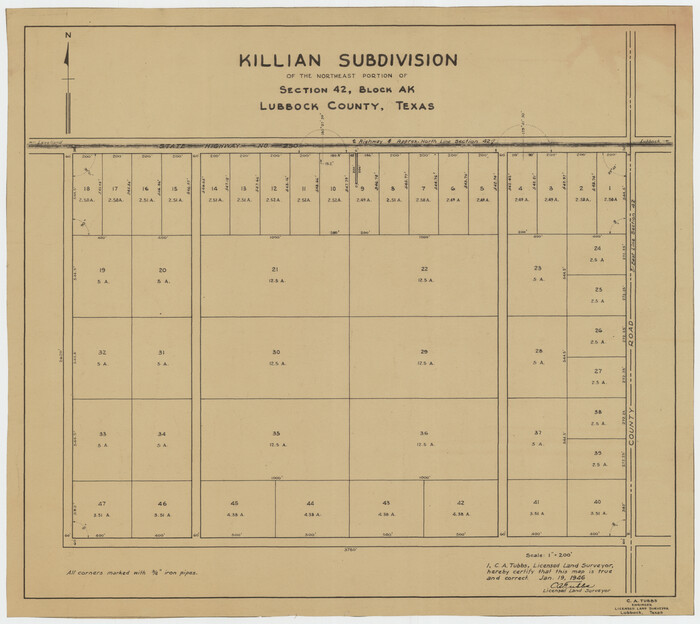
Killian Subdivision of the Northeast Portion of Section 42, Block AK

Print $20.00
- Digital $50.00
Killian Subdivision of the Northeast Portion of Section 42, Block AK
Size 15.9 x 14.1 inches
Map/Doc 92267
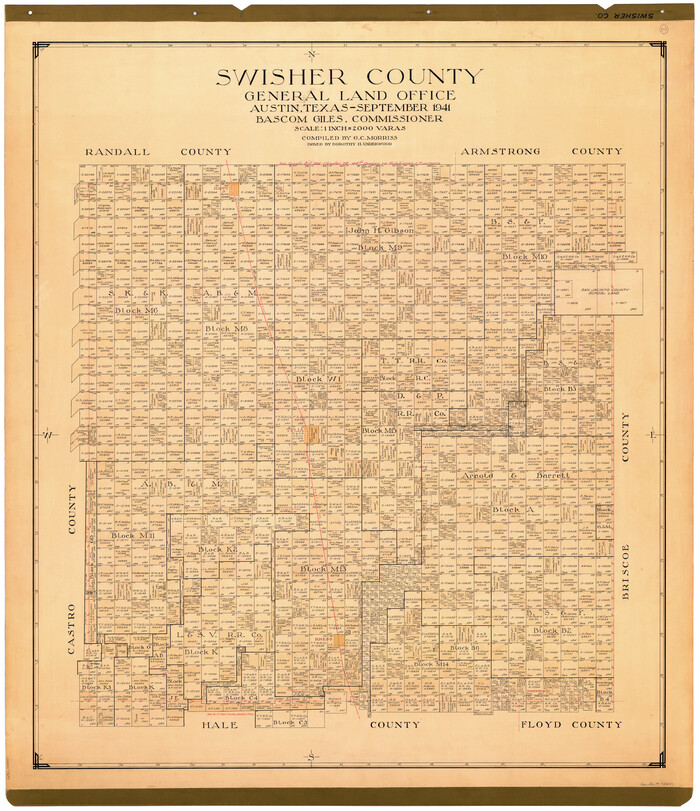
Swisher County

Print $20.00
- Digital $50.00
Swisher County
1941
Size 44.3 x 38.1 inches
Map/Doc 73297
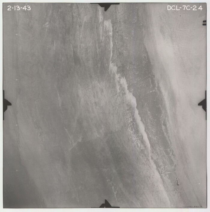
Flight Mission No. DCL-7C, Frame 24, Kenedy County

Print $20.00
- Digital $50.00
Flight Mission No. DCL-7C, Frame 24, Kenedy County
1943
Size 15.5 x 15.4 inches
Map/Doc 86016
Reconnaissance of the Coast of Texas between Matagorda and Corpus Christi Bays


Print $20.00
- Digital $50.00
Reconnaissance of the Coast of Texas between Matagorda and Corpus Christi Bays
1858
Size 25.2 x 21.4 inches
Map/Doc 75987
![91075, [North Part of T. A. Thomson, Block T], Twichell Survey Records](https://historictexasmaps.com/wmedia_w1800h1800/maps/91075-1.tif.jpg)
![93119, [Capitol Lands], Twichell Survey Records](https://historictexasmaps.com/wmedia_w700/maps/93119-1.tif.jpg)