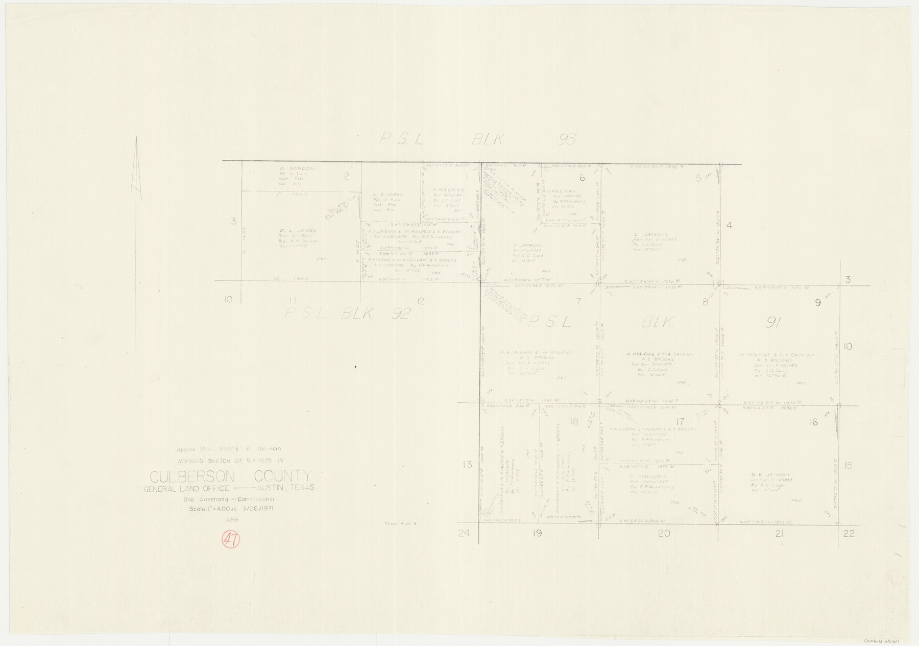
Culberson County Working Sketch 47
-
Map/Doc
68501
-
Collection
General Map Collection
-
Object Dates
3/26/1971 (Creation Date)
-
Counties
Culberson
-
Subjects
Surveying Working Sketch
-
Height x Width
25.7 x 36.5 inches
65.3 x 92.7 cm
-
Scale
1" = 400 varas
Part of: General Map Collection
Jackson County Boundary File 1

Print $24.00
- Digital $50.00
Jackson County Boundary File 1
Size 9.0 x 3.9 inches
Map/Doc 55420
Crockett County Sketch File 79

Print $18.00
- Digital $50.00
Crockett County Sketch File 79
1937
Size 11.1 x 8.8 inches
Map/Doc 19881
Flight Mission No. BRA-7M, Frame 30, Jefferson County

Print $20.00
- Digital $50.00
Flight Mission No. BRA-7M, Frame 30, Jefferson County
1953
Size 18.6 x 22.3 inches
Map/Doc 85481
Flight Mission No. BRE-1P, Frame 55, Nueces County

Print $20.00
- Digital $50.00
Flight Mission No. BRE-1P, Frame 55, Nueces County
1956
Size 18.3 x 22.2 inches
Map/Doc 86644
Terrell County Sketch File 15

Print $20.00
- Digital $50.00
Terrell County Sketch File 15
1890
Size 16.0 x 21.6 inches
Map/Doc 12421
Loving County Rolled Sketch 1B

Print $40.00
- Digital $50.00
Loving County Rolled Sketch 1B
1952
Size 42.7 x 77.7 inches
Map/Doc 9466
Baylor County Sketch File Z1

Print $12.00
- Digital $50.00
Baylor County Sketch File Z1
1901
Size 8.8 x 7.2 inches
Map/Doc 14104
Bailey County Sketch File 6

Print $40.00
- Digital $50.00
Bailey County Sketch File 6
Size 26.5 x 31.9 inches
Map/Doc 10884
Hardin County Working Sketch 35

Print $20.00
- Digital $50.00
Hardin County Working Sketch 35
1981
Size 17.2 x 14.6 inches
Map/Doc 63433

Flight Mission No. CUG-3P, Frame 190, Kleberg County

Print $20.00
- Digital $50.00
Flight Mission No. CUG-3P, Frame 190, Kleberg County
1956
Size 18.6 x 22.4 inches
Map/Doc 86294
Travis County Working Sketch 25

Print $20.00
- Digital $50.00
Travis County Working Sketch 25
1948
Size 26.4 x 32.0 inches
Map/Doc 69409
You may also like
Gulf Coast of the United States, Key West to Rio Grande

Print $20.00
- Digital $50.00
Gulf Coast of the United States, Key West to Rio Grande
1892
Size 27.3 x 18.3 inches
Map/Doc 72670
Concho County Sketch File 53

Print $8.00
- Digital $50.00
Concho County Sketch File 53
2002
Size 11.3 x 8.9 inches
Map/Doc 78515
Upton County Sketch File S

Print $8.00
- Digital $50.00
Upton County Sketch File S
Size 13.4 x 9.1 inches
Map/Doc 38850
Motley County Working Sketch 9

Print $20.00
- Digital $50.00
Motley County Working Sketch 9
1984
Size 32.6 x 28.9 inches
Map/Doc 71214
Eastland County Working Sketch 1

Print $3.00
- Digital $50.00
Eastland County Working Sketch 1
1907
Size 13.8 x 11.0 inches
Map/Doc 68782
Travis County Sketch File 21

Print $4.00
- Digital $50.00
Travis County Sketch File 21
1875
Size 12.8 x 8.4 inches
Map/Doc 38325
Hardeman County Aerial Photograph Index Sheet 4

Print $20.00
- Digital $50.00
Hardeman County Aerial Photograph Index Sheet 4
1950
Size 20.3 x 17.0 inches
Map/Doc 83700
![89832, [Yates Area], Twichell Survey Records](https://historictexasmaps.com/wmedia_w700/maps/89832-1.tif.jpg)
San Patricio County Sketch File 37

Print $94.00
- Digital $50.00
San Patricio County Sketch File 37
1915
Size 10.5 x 6.4 inches
Map/Doc 36142
[Sketch for Mineral Application 13440]
![65674, [Sketch for Mineral Application 13440], General Map Collection](https://historictexasmaps.com/wmedia_w700/maps/65674-1.tif.jpg)
Print $40.00
- Digital $50.00
[Sketch for Mineral Application 13440]
Size 65.8 x 42.9 inches
Map/Doc 65674
Texas Gulf Coast Map from the Sabine River to the Rio Grande as subdivided for mineral development

Print $40.00
- Digital $50.00
Texas Gulf Coast Map from the Sabine River to the Rio Grande as subdivided for mineral development
Size 46.0 x 91.3 inches
Map/Doc 2901
Map of the Texas & Pacific Railway and connections

Print $20.00
- Digital $50.00
Map of the Texas & Pacific Railway and connections
1902
Size 18.0 x 36.8 inches
Map/Doc 95413