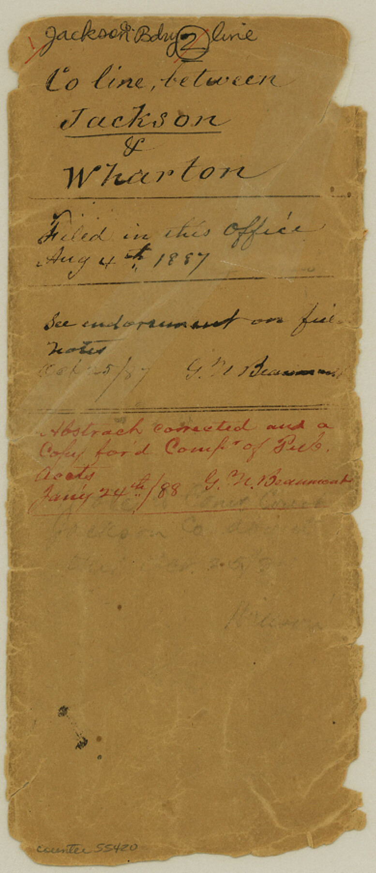
Jackson County Boundary File 1
Map of Jackson and Wharton Co. Line
-
Map/Doc
55420
-
Collection
General Map Collection
-
Counties
Jackson
-
Subjects
County Boundaries
-
Height x Width
9.0 x 3.9 inches
22.9 x 9.9 cm
Part of: General Map Collection
Flight Mission No. CRC-5R, Frame 30, Chambers County

Print $20.00
- Digital $50.00
Flight Mission No. CRC-5R, Frame 30, Chambers County
1956
Size 18.6 x 22.4 inches
Map/Doc 84949
Gaines County Sketch File 9

Print $20.00
- Digital $50.00
Gaines County Sketch File 9
Size 34.1 x 17.1 inches
Map/Doc 11524
Pecos County Rolled Sketch 169

Print $40.00
- Digital $50.00
Pecos County Rolled Sketch 169
1927
Size 63.8 x 30.0 inches
Map/Doc 9749
Gregg County Working Sketch 1

Print $20.00
- Digital $50.00
Gregg County Working Sketch 1
1930
Size 14.9 x 15.3 inches
Map/Doc 63267
Mason County Working Sketch 19

Print $20.00
- Digital $50.00
Mason County Working Sketch 19
1981
Size 27.0 x 37.1 inches
Map/Doc 70855
Coke County Sketch File 24

Print $6.00
- Digital $50.00
Coke County Sketch File 24
1927
Size 11.1 x 8.8 inches
Map/Doc 18615
Hutchinson County Working Sketch 23

Print $20.00
- Digital $50.00
Hutchinson County Working Sketch 23
1967
Size 34.6 x 35.3 inches
Map/Doc 66383
Presidio County Sketch File 41

Print $6.00
- Digital $50.00
Presidio County Sketch File 41
Size 10.3 x 8.3 inches
Map/Doc 34515
Yoakum County

Print $20.00
- Digital $50.00
Yoakum County
1932
Size 40.2 x 29.6 inches
Map/Doc 77465
Van Zandt County Rolled Sketch 6

Print $6.00
- Digital $50.00
Van Zandt County Rolled Sketch 6
1946
Size 33.5 x 34.2 inches
Map/Doc 10091
Guadalupe County Working Sketch 5

Print $3.00
- Digital $50.00
Guadalupe County Working Sketch 5
1940
Size 15.2 x 10.9 inches
Map/Doc 63314
Bee County Sketch File 23

Print $8.00
- Digital $50.00
Bee County Sketch File 23
1878
Size 10.0 x 8.1 inches
Map/Doc 14318
You may also like
Map of Texas and part of New Mexico compiled in the Bureau of Topographl. Engrs. chiefly for military purposes

Print $20.00
- Digital $50.00
Map of Texas and part of New Mexico compiled in the Bureau of Topographl. Engrs. chiefly for military purposes
1857
Size 18.8 x 24.8 inches
Map/Doc 97116
[Blocks O18, G. & M. Block 3 and Blocks B10, B11 and 47]
![91813, [Blocks O18, G. & M. Block 3 and Blocks B10, B11 and 47], Twichell Survey Records](https://historictexasmaps.com/wmedia_w700/maps/91813-1.tif.jpg)
Print $20.00
- Digital $50.00
[Blocks O18, G. & M. Block 3 and Blocks B10, B11 and 47]
Size 19.7 x 30.0 inches
Map/Doc 91813
General Highway Map, Kleberg County, Texas

Print $20.00
General Highway Map, Kleberg County, Texas
1940
Size 24.9 x 18.4 inches
Map/Doc 79165
[West line of B. & B. Block 1]
![90584, [West line of B. & B. Block 1], Twichell Survey Records](https://historictexasmaps.com/wmedia_w700/maps/90584-1.tif.jpg)
Print $20.00
- Digital $50.00
[West line of B. & B. Block 1]
Size 12.7 x 15.2 inches
Map/Doc 90584
[Sketch showing County School Land surveys in Throckmorton and Baylor Counties, Texas]
![75800, [Sketch showing County School Land surveys in Throckmorton and Baylor Counties, Texas], Maddox Collection](https://historictexasmaps.com/wmedia_w700/maps/75800.tif.jpg)
Print $20.00
- Digital $50.00
[Sketch showing County School Land surveys in Throckmorton and Baylor Counties, Texas]
Size 27.7 x 39.4 inches
Map/Doc 75800
Gaines County

Print $40.00
- Digital $50.00
Gaines County
1901
Size 41.3 x 57.2 inches
Map/Doc 16833
Map of the Recognised Line M. El. P. & P. R.R. from Texas & Arkansas State Line to Milam & Bexar Land District Line

Print $40.00
- Digital $50.00
Map of the Recognised Line M. El. P. & P. R.R. from Texas & Arkansas State Line to Milam & Bexar Land District Line
1856
Size 14.3 x 89.8 inches
Map/Doc 64053
[Surveys along the Liberty and Hardin County line]
![295, [Surveys along the Liberty and Hardin County line], General Map Collection](https://historictexasmaps.com/wmedia_w700/maps/295.tif.jpg)
Print $2.00
- Digital $50.00
[Surveys along the Liberty and Hardin County line]
1847
Size 13.5 x 7.7 inches
Map/Doc 295
Oldham County Boundary File 1d

Print $68.00
- Digital $50.00
Oldham County Boundary File 1d
Size 14.0 x 8.5 inches
Map/Doc 57759
Taylor County Sketch File 6

Print $40.00
- Digital $50.00
Taylor County Sketch File 6
Size 40.1 x 55.0 inches
Map/Doc 10382
Culberson County Working Sketch 87

Print $20.00
- Digital $50.00
Culberson County Working Sketch 87
1981
Size 26.9 x 37.1 inches
Map/Doc 68541
Live Oak County Sketch File 35

Print $12.00
- Digital $50.00
Live Oak County Sketch File 35
1969
Size 11.0 x 8.7 inches
Map/Doc 30339