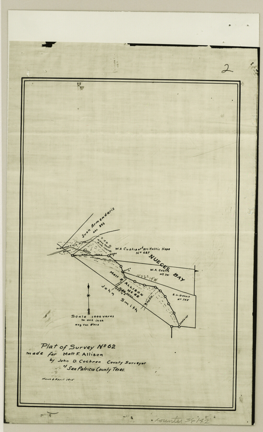
San Patricio County Sketch File 37
[Copies of field notes and sketches from multiple mineral files]
-
Map/Doc
36142
-
Collection
General Map Collection
-
Object Dates
1915-1916 (Creation Date)
-
People and Organizations
John D. Cochran (Surveyor/Engineer)
Charles H. Alvord (Surveyor/Engineer)
W.T. Deopker (Chainman/Field Personnel)
Frank Keller (Chainman/Field Personnel)
John Pons (Chainman/Field Personnel)
William Cody (Chainman/Field Personnel)
R.C. Briggs (Surveyor/Engineer)
Conrad M. Blucher (Surveyor/Engineer)
-
Counties
San Patricio
-
Subjects
Surveying Sketch File
-
Height x Width
10.5 x 6.4 inches
26.7 x 16.3 cm
-
Medium
photostat
-
Features
Nueces Bay
Aransas Pass
Aransas Bay
Harbor Island
Red Fish Bay
Corpus Christi Bay
Nueces River
Sinton
Corpus Christi
Part of: General Map Collection

Eastland County Working Sketch 7

Print $3.00
- Digital $50.00
Eastland County Working Sketch 7
1918
Size 15.6 x 10.7 inches
Map/Doc 68788
Mitchell County

Print $20.00
- Digital $50.00
Mitchell County
1889
Size 44.3 x 37.8 inches
Map/Doc 66935
Culberson County Rolled Sketch 58

Print $40.00
- Digital $50.00
Culberson County Rolled Sketch 58
1979
Size 37.8 x 52.6 inches
Map/Doc 8759
Calhoun County Rolled Sketch 30

Print $20.00
- Digital $50.00
Calhoun County Rolled Sketch 30
1974
Size 18.5 x 27.5 inches
Map/Doc 5488
Chambers County Rolled Sketch 17

Print $20.00
- Digital $50.00
Chambers County Rolled Sketch 17
1936
Size 38.0 x 32.8 inches
Map/Doc 5425
Concho County Rolled Sketch 11

Print $20.00
- Digital $50.00
Concho County Rolled Sketch 11
1957
Size 29.5 x 34.5 inches
Map/Doc 5569
Flight Mission No. DQN-2K, Frame 84, Calhoun County

Print $20.00
- Digital $50.00
Flight Mission No. DQN-2K, Frame 84, Calhoun County
1953
Size 18.5 x 22.2 inches
Map/Doc 84274
Denton County Sketch File 35

Print $14.00
- Digital $50.00
Denton County Sketch File 35
1897
Size 9.5 x 8.8 inches
Map/Doc 20766
Map of Galveston, Harrisburg & San Antonio Railway in Pecos County

Print $40.00
- Digital $50.00
Map of Galveston, Harrisburg & San Antonio Railway in Pecos County
1888
Size 26.0 x 80.9 inches
Map/Doc 64399
Brewster County Rolled Sketch K1

Print $20.00
- Digital $50.00
Brewster County Rolled Sketch K1
Size 22.9 x 15.4 inches
Map/Doc 5322
Collingsworth County Sketch File 10

Print $4.00
- Digital $50.00
Collingsworth County Sketch File 10
1892
Size 11.3 x 9.0 inches
Map/Doc 18891
You may also like
Carta General de la Republica Mexicana

Print $20.00
- Digital $50.00
Carta General de la Republica Mexicana
Size 23.1 x 31.1 inches
Map/Doc 96983
Mills County Working Sketch 6

Print $3.00
- Digital $50.00
Mills County Working Sketch 6
Size 12.1 x 10.9 inches
Map/Doc 71036
Pecos County Working Sketch 13

Print $20.00
- Digital $50.00
Pecos County Working Sketch 13
1912
Size 24.2 x 35.3 inches
Map/Doc 71483
Harrison County Working Sketch 33

Print $20.00
- Digital $50.00
Harrison County Working Sketch 33
2015
Size 19.8 x 22.8 inches
Map/Doc 93725
Flight Mission No. BQR-9K, Frame 50, Brazoria County

Print $20.00
- Digital $50.00
Flight Mission No. BQR-9K, Frame 50, Brazoria County
1952
Size 18.7 x 22.4 inches
Map/Doc 84054
In the Supreme Court of the United States, The State of Oklahoma, Complainant vs. The State of Texas, Defendant, The United States of America, Intervener, Red River Valley, Texas and Oklahoma Between the 98th and 100th Meridians in Five Sheets, 1921

Print $40.00
- Digital $50.00
In the Supreme Court of the United States, The State of Oklahoma, Complainant vs. The State of Texas, Defendant, The United States of America, Intervener, Red River Valley, Texas and Oklahoma Between the 98th and 100th Meridians in Five Sheets, 1921
1921
Size 37.7 x 60.2 inches
Map/Doc 75277
Brazoria County Sketch File 48

Print $4.00
- Digital $50.00
Brazoria County Sketch File 48
Size 14.2 x 8.8 inches
Map/Doc 15110
Newton County Sketch File 18

Print $24.00
- Digital $50.00
Newton County Sketch File 18
1886
Size 12.1 x 8.3 inches
Map/Doc 32393
Palo Pinto County Rolled Sketch 13

Print $20.00
- Digital $50.00
Palo Pinto County Rolled Sketch 13
1986
Size 29.0 x 32.2 inches
Map/Doc 7193
Jeff Davis County Sketch File 42

Print $20.00
- Digital $50.00
Jeff Davis County Sketch File 42
Size 21.8 x 27.9 inches
Map/Doc 11867
United States Bathymetric and Fishing Maps including Topographic/Bathymetric Maps

Print $40.00
- Digital $50.00
United States Bathymetric and Fishing Maps including Topographic/Bathymetric Maps
1992
Size 21.5 x 54.9 inches
Map/Doc 76128
Coleman County Working Sketch 21

Print $20.00
- Digital $50.00
Coleman County Working Sketch 21
1953
Size 34.8 x 41.6 inches
Map/Doc 68087