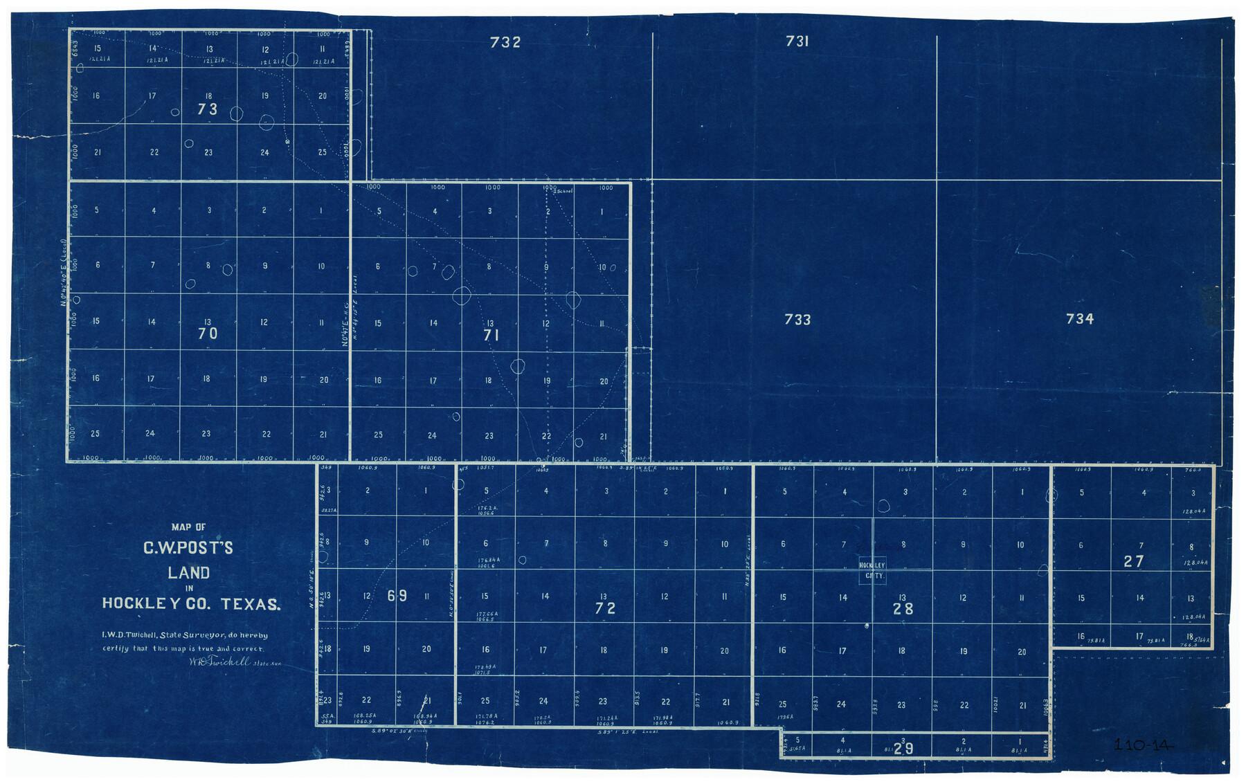
Map of C. W. Post's Land in Hockley County, Texas
110-14
-
Map/Doc
91095
-
Collection
Twichell Survey Records
-
People and Organizations
W.D. Twichell (Surveyor/Engineer)
-
Counties
Hockley
-
Height x Width
24.7 x 15.7 inches
62.7 x 39.9 cm
Part of: Twichell Survey Records
Map and Field Notes of D. & N. T. RR. Through E. L. Ellwood's Pasture

Print $20.00
- Digital $50.00
Map and Field Notes of D. & N. T. RR. Through E. L. Ellwood's Pasture
1912
Size 39.5 x 12.1 inches
Map/Doc 91003
Working Sketch in Stephens-Palo Pinto Cos.

Print $20.00
- Digital $50.00
Working Sketch in Stephens-Palo Pinto Cos.
1919
Size 21.7 x 13.2 inches
Map/Doc 91887
[H. & T. C. Block 47 and part of G. & M. Block 3]
![91817, [H. & T. C. Block 47 and part of G. & M. Block 3], Twichell Survey Records](https://historictexasmaps.com/wmedia_w700/maps/91817-1.tif.jpg)
Print $20.00
- Digital $50.00
[H. & T. C. Block 47 and part of G. & M. Block 3]
Size 29.4 x 27.9 inches
Map/Doc 91817
Selected List of Wells accompanying Map of Wyoming showing Test Wells for Oil and Gas, Anticlinal Axes, Oil and Gas Fields, Pipelines, Unit Areas, and Land 3 District Boundaries, 1949

Print $20.00
- Digital $50.00
Selected List of Wells accompanying Map of Wyoming showing Test Wells for Oil and Gas, Anticlinal Axes, Oil and Gas Fields, Pipelines, Unit Areas, and Land 3 District Boundaries, 1949
1949
Size 26.2 x 41.5 inches
Map/Doc 89690
[East Line of Moore County]
![91418, [East Line of Moore County], Twichell Survey Records](https://historictexasmaps.com/wmedia_w700/maps/91418-1.tif.jpg)
Print $20.00
- Digital $50.00
[East Line of Moore County]
Size 16.1 x 18.4 inches
Map/Doc 91418
Working Sketch in Bastrop County

Print $20.00
- Digital $50.00
Working Sketch in Bastrop County
1921
Size 14.3 x 15.6 inches
Map/Doc 90233
Map of Leagues 245, 246, 247, 250, 251, 252, 253, 254, and 321, Surveys 128, 130, 131, 132, R. E. Montgomery, and Surveys 133 and 134, Block A, Public Free School Land

Print $20.00
- Digital $50.00
Map of Leagues 245, 246, 247, 250, 251, 252, 253, 254, and 321, Surveys 128, 130, 131, 132, R. E. Montgomery, and Surveys 133 and 134, Block A, Public Free School Land
1930
Size 21.8 x 29.4 inches
Map/Doc 91270
[Lamb County, Block A]
![90991, [Lamb County, Block A], Twichell Survey Records](https://historictexasmaps.com/wmedia_w700/maps/90991-1.tif.jpg)
Print $20.00
- Digital $50.00
[Lamb County, Block A]
Size 22.9 x 17.9 inches
Map/Doc 90991
Hutchinson County Map

Print $20.00
- Digital $50.00
Hutchinson County Map
Size 18.1 x 19.4 inches
Map/Doc 91185
[H. & T. C. RR. Company, Block 47, Map C]
![91247, [H. & T. C. RR. Company, Block 47, Map C], Twichell Survey Records](https://historictexasmaps.com/wmedia_w700/maps/91247-1.tif.jpg)
Print $20.00
- Digital $50.00
[H. & T. C. RR. Company, Block 47, Map C]
Size 32.6 x 19.9 inches
Map/Doc 91247

[South line of Blocks B24, B25, and B26]
![90463, [South line of Blocks B24, B25, and B26], Twichell Survey Records](https://historictexasmaps.com/wmedia_w700/maps/90463-1.tif.jpg)
Print $2.00
- Digital $50.00
[South line of Blocks B24, B25, and B26]
1936
Size 14.6 x 9.0 inches
Map/Doc 90463
You may also like
Flight Mission No. DQO-3K, Frame 15, Galveston County

Print $20.00
- Digital $50.00
Flight Mission No. DQO-3K, Frame 15, Galveston County
1952
Size 18.7 x 22.4 inches
Map/Doc 85056
Fractional Township No. 7 South Range No. 4 East of the Indian Meridian, Indian Territory

Print $20.00
- Digital $50.00
Fractional Township No. 7 South Range No. 4 East of the Indian Meridian, Indian Territory
1898
Size 19.3 x 24.4 inches
Map/Doc 75207
Survey for H.A. Wroe

Print $20.00
- Digital $50.00
Survey for H.A. Wroe
Size 19.6 x 10.4 inches
Map/Doc 601

Presidio County Rolled Sketch 43

Print $20.00
- Digital $50.00
Presidio County Rolled Sketch 43
1907
Size 31.5 x 19.7 inches
Map/Doc 7340
San Augustine County Sketch File 14

Print $22.00
San Augustine County Sketch File 14
1888
Size 13.2 x 12.6 inches
Map/Doc 35662
Kerr County Sketch File 24

Print $20.00
- Digital $50.00
Kerr County Sketch File 24
1967
Size 15.7 x 21.6 inches
Map/Doc 11923
The Mexican Department of Bexar. On the Eve of Texas Independence, 1836

Print $20.00
The Mexican Department of Bexar. On the Eve of Texas Independence, 1836
2020
Size 16.0 x 21.7 inches
Map/Doc 95971
Zavalla County School Land Hockley County, Texas

Print $20.00
- Digital $50.00
Zavalla County School Land Hockley County, Texas
1956
Size 41.6 x 20.2 inches
Map/Doc 92254
Bird's Eye View of the City of Brenham, Washington County, Texas

Print $20.00
Bird's Eye View of the City of Brenham, Washington County, Texas
1881
Size 19.4 x 26.7 inches
Map/Doc 89076
Throckmorton County Rolled Sketch 1

Print $20.00
- Digital $50.00
Throckmorton County Rolled Sketch 1
1927
Size 23.5 x 30.3 inches
Map/Doc 7984
Webb County Rolled Sketch 19

Print $40.00
- Digital $50.00
Webb County Rolled Sketch 19
1928
Size 27.9 x 53.7 inches
Map/Doc 10119