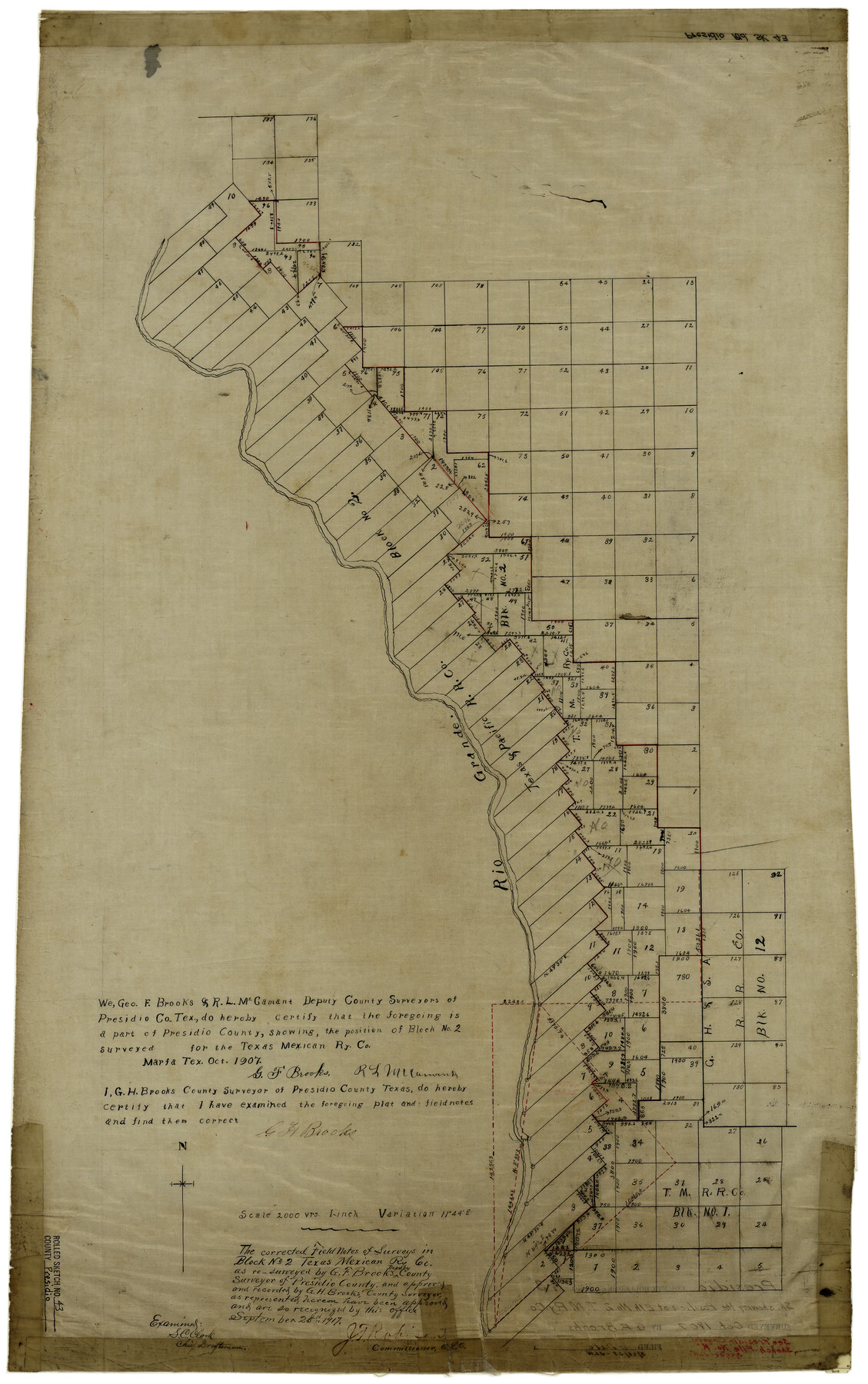
Presidio County Rolled Sketch 43
[Sketch showing position of Texas Mexican Ry. Co. Block 2]
-
Map/Doc
7340
-
Collection
General Map Collection
-
Object Dates
10/1907 (Creation Date)
9/25/1917 (File Date)
-
People and Organizations
G.F. Brooks (Surveyor/Engineer)
-
Counties
Presidio
-
Subjects
Surveying Rolled Sketch
-
Height x Width
31.5 x 19.7 inches
80.0 x 50.0 cm
-
Medium
linen, manuscript
-
Scale
1" = 2000 varas
-
Comments
See Presidio County Sketch File K (34456) for corrected field notes.
Related maps
Presidio County Sketch File K

Print $8.00
- Digital $50.00
Presidio County Sketch File K
1907
Size 13.6 x 8.6 inches
Map/Doc 34456
Part of: General Map Collection
Flight Mission No. DIX-3P, Frame 136, Aransas County

Print $20.00
- Digital $50.00
Flight Mission No. DIX-3P, Frame 136, Aransas County
1956
Size 17.9 x 19.0 inches
Map/Doc 83766
Cottle County Sketch File G

Print $8.00
- Digital $50.00
Cottle County Sketch File G
Size 11.5 x 7.3 inches
Map/Doc 19447
Hamilton County

Print $20.00
- Digital $50.00
Hamilton County
1876
Size 24.4 x 26.2 inches
Map/Doc 3622
Flight Mission No. BRE-1P, Frame 93, Nueces County

Print $20.00
- Digital $50.00
Flight Mission No. BRE-1P, Frame 93, Nueces County
1956
Size 18.5 x 22.2 inches
Map/Doc 86664
Jim Hogg County Working Sketch 10

Print $20.00
- Digital $50.00
Jim Hogg County Working Sketch 10
Size 18.8 x 15.6 inches
Map/Doc 66596
Overlay For BRE-1P, Frame 153 of Refugio Scrip 1930, Nueces County

Print $20.00
- Digital $50.00
Overlay For BRE-1P, Frame 153 of Refugio Scrip 1930, Nueces County
1956
Size 18.8 x 22.6 inches
Map/Doc 86713
Victoria County

Print $20.00
- Digital $50.00
Victoria County
1895
Size 29.7 x 25.7 inches
Map/Doc 4118
Gregg County Rolled Sketch 26

Print $40.00
- Digital $50.00
Gregg County Rolled Sketch 26
1937
Size 26.4 x 126.6 inches
Map/Doc 76432
Rusk County Working Sketch 37c

Print $20.00
- Digital $50.00
Rusk County Working Sketch 37c
2007
Size 21.2 x 36.0 inches
Map/Doc 87498
Morris County Rolled Sketch 2A

Print $20.00
- Digital $50.00
Morris County Rolled Sketch 2A
Size 24.0 x 18.8 inches
Map/Doc 10237
Taylor County Working Sketch 13

Print $20.00
- Digital $50.00
Taylor County Working Sketch 13
1956
Size 16.3 x 28.9 inches
Map/Doc 69623
Matagorda Bay and Approaches

Print $20.00
- Digital $50.00
Matagorda Bay and Approaches
1989
Size 36.3 x 45.0 inches
Map/Doc 73389
You may also like
The Mexican Municipality of Matagorda. December 28, 1834

Print $20.00
The Mexican Municipality of Matagorda. December 28, 1834
2020
Size 15.9 x 21.7 inches
Map/Doc 96026
Comanche County Working Sketch 22

Print $20.00
- Digital $50.00
Comanche County Working Sketch 22
1974
Size 23.7 x 23.1 inches
Map/Doc 68156
Revised map of west half of Sabine Lake and Sabine Pass, showing subdivision for mineral development; Jefferson and Orange Counties

Print $40.00
- Digital $50.00
Revised map of west half of Sabine Lake and Sabine Pass, showing subdivision for mineral development; Jefferson and Orange Counties
1979
Size 72.1 x 41.5 inches
Map/Doc 1935
Terrell County Working Sketch 64

Print $20.00
- Digital $50.00
Terrell County Working Sketch 64
1971
Size 29.3 x 27.7 inches
Map/Doc 69585
Glasscock County Sketch File 17

Print $44.00
- Digital $50.00
Glasscock County Sketch File 17
1936
Size 11.4 x 8.8 inches
Map/Doc 24188
Brewster County Rolled Sketch 42

Print $20.00
- Digital $50.00
Brewster County Rolled Sketch 42
1912
Size 18.5 x 43.3 inches
Map/Doc 5220
Presidio County Working Sketch 6

Print $20.00
- Digital $50.00
Presidio County Working Sketch 6
1920
Size 19.1 x 37.2 inches
Map/Doc 71680
Stonewall County Working Sketch Graphic Index - sheet A

Print $20.00
- Digital $50.00
Stonewall County Working Sketch Graphic Index - sheet A
1933
Size 43.3 x 36.2 inches
Map/Doc 76704
Presidio County Working Sketch 53

Print $20.00
- Digital $50.00
Presidio County Working Sketch 53
1955
Size 28.6 x 18.9 inches
Map/Doc 71730
Lampasas County Sketch File A

Print $4.00
- Digital $50.00
Lampasas County Sketch File A
1887
Size 11.3 x 9.0 inches
Map/Doc 29383
Map of the Texas & Pacific Railway and connections

Print $20.00
- Digital $50.00
Map of the Texas & Pacific Railway and connections
1903
Size 17.9 x 36.6 inches
Map/Doc 95767
Val Verde County Working Sketch 23

Print $20.00
- Digital $50.00
Val Verde County Working Sketch 23
1932
Size 29.6 x 24.9 inches
Map/Doc 72158