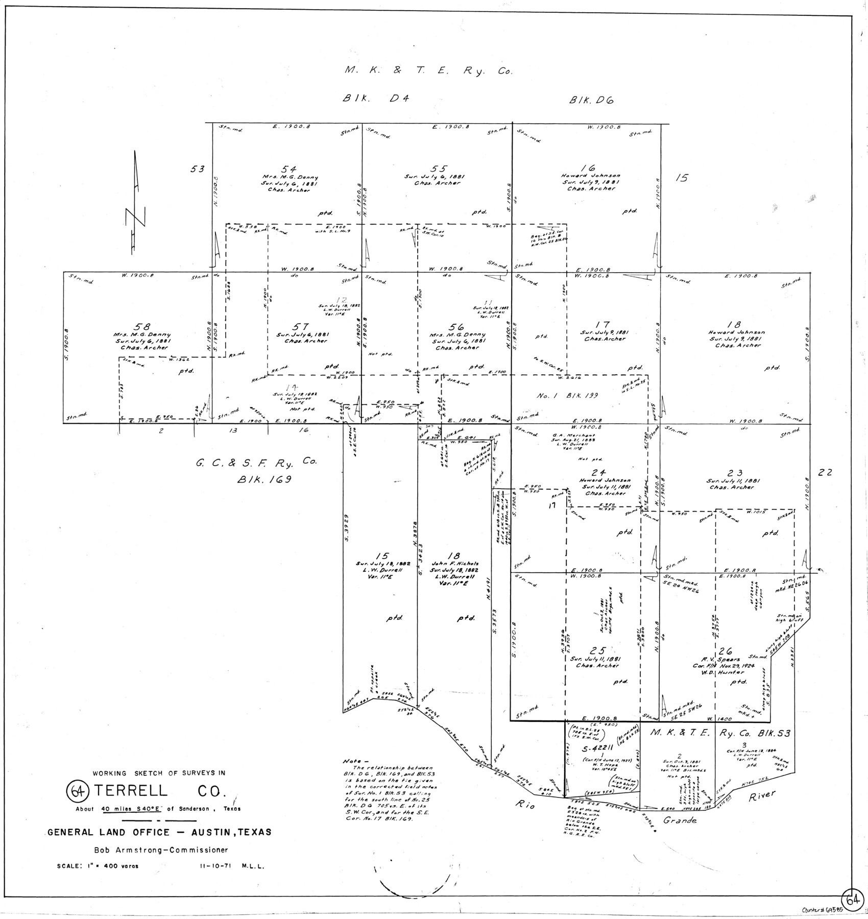
Terrell County Working Sketch 64
-
Map/Doc
69585
-
Collection
General Map Collection
-
Object Dates
11/10/1971 (Creation Date)
-
People and Organizations
M. L. Liles (Draftsman)
-
Counties
Terrell
-
Subjects
Surveying Working Sketch
-
Height x Width
29.3 x 27.7 inches
74.4 x 70.4 cm
-
Scale
1" = 400 varas
Part of: General Map Collection
Crockett County Rolled Sketch 71

Print $40.00
- Digital $50.00
Crockett County Rolled Sketch 71
1949
Size 54.5 x 38.9 inches
Map/Doc 8722
Aerial Perspective of Packery Channel

Print $20.00
- Digital $50.00
Aerial Perspective of Packery Channel
1938
Size 16.5 x 19.3 inches
Map/Doc 3001
Map of Texas Gulf Coast and Continental Shelf showing Natural Gas Pipe Lines

Print $40.00
- Digital $50.00
Map of Texas Gulf Coast and Continental Shelf showing Natural Gas Pipe Lines
1983
Size 40.9 x 59.1 inches
Map/Doc 75969
Flight Mission No. CUG-1P, Frame 73, Kleberg County

Print $20.00
- Digital $50.00
Flight Mission No. CUG-1P, Frame 73, Kleberg County
1956
Size 18.4 x 22.5 inches
Map/Doc 86138
Stonewall County Rolled Sketch 22

Print $20.00
- Digital $50.00
Stonewall County Rolled Sketch 22
1951
Size 33.2 x 30.9 inches
Map/Doc 9961
Wichita County Sketch File 12

Print $6.00
- Digital $50.00
Wichita County Sketch File 12
1881
Size 10.2 x 8.3 inches
Map/Doc 40074
Live Oak County Sketch File 3

Print $22.00
- Digital $50.00
Live Oak County Sketch File 3
1848
Size 12.6 x 16.1 inches
Map/Doc 30255
Andrews County Rolled Sketch 17

Print $40.00
- Digital $50.00
Andrews County Rolled Sketch 17
1934
Size 30.9 x 48.9 inches
Map/Doc 8393
Topographical Map of the Rio Grande, Sheet No. 3

Print $20.00
- Digital $50.00
Topographical Map of the Rio Grande, Sheet No. 3
1912
Map/Doc 89527
Hays County Working Sketch 22

Print $20.00
- Digital $50.00
Hays County Working Sketch 22
2000
Size 47.1 x 36.9 inches
Map/Doc 76051
Hansford County

Print $20.00
- Digital $50.00
Hansford County
1902
Size 42.3 x 37.5 inches
Map/Doc 4969
Pecos County Rolled Sketch 168

Print $40.00
- Digital $50.00
Pecos County Rolled Sketch 168
Size 73.5 x 44.7 inches
Map/Doc 9748
You may also like
Intracoastal Waterway - Galveston Bay to West Bay including Galveston Bay Entrance

Print $20.00
- Digital $50.00
Intracoastal Waterway - Galveston Bay to West Bay including Galveston Bay Entrance
1957
Size 27.2 x 38.6 inches
Map/Doc 69933
Coryell County Working Sketch 32

Print $20.00
- Digital $50.00
Coryell County Working Sketch 32
2022
Size 25.3 x 36.9 inches
Map/Doc 96966
Martin County Working Sketch 3

Print $20.00
- Digital $50.00
Martin County Working Sketch 3
1950
Size 40.9 x 46.2 inches
Map/Doc 70821
Leon County Working Sketch 2

Print $20.00
- Digital $50.00
Leon County Working Sketch 2
Size 17.3 x 17.0 inches
Map/Doc 70401
[Sketch showing G. & M. Block M-20, Sections 29-46]
![91706, [Sketch showing G. & M. Block M-20, Sections 29-46], Twichell Survey Records](https://historictexasmaps.com/wmedia_w700/maps/91706-1.tif.jpg)
Print $2.00
- Digital $50.00
[Sketch showing G. & M. Block M-20, Sections 29-46]
Size 6.7 x 13.4 inches
Map/Doc 91706
Brewster County Sketch File 42

Print $40.00
- Digital $50.00
Brewster County Sketch File 42
1914
Size 11.5 x 19.0 inches
Map/Doc 10981
Ward County Working Sketch 28

Print $40.00
- Digital $50.00
Ward County Working Sketch 28
1964
Size 60.9 x 29.1 inches
Map/Doc 72334
Angelina County Working Sketch 13

Print $20.00
- Digital $50.00
Angelina County Working Sketch 13
1935
Size 30.8 x 35.4 inches
Map/Doc 67094
Haskell County

Print $20.00
- Digital $50.00
Haskell County
1933
Size 45.8 x 39.4 inches
Map/Doc 1852
Map of the Fort Worth & Denver City Railway, Oldham County, Texas

Print $40.00
- Digital $50.00
Map of the Fort Worth & Denver City Railway, Oldham County, Texas
1887
Size 24.8 x 105.2 inches
Map/Doc 64456
Cooke County Rolled Sketch 4

Print $20.00
- Digital $50.00
Cooke County Rolled Sketch 4
Size 18.1 x 23.1 inches
Map/Doc 5562
Flight Mission No. BQR-5K, Frame 67, Brazoria County

Print $20.00
- Digital $50.00
Flight Mission No. BQR-5K, Frame 67, Brazoria County
1952
Size 18.7 x 22.5 inches
Map/Doc 84012