[Sketch showing G. & M. Block M-20, Sections 29-46]
188-62
-
Map/Doc
91706
-
Collection
Twichell Survey Records
-
Counties
Potter
-
Height x Width
6.7 x 13.4 inches
17.0 x 34.0 cm
Part of: Twichell Survey Records
Sec. 22, Block 103


Print $20.00
- Digital $50.00
Sec. 22, Block 103
Size 13.1 x 14.8 inches
Map/Doc 90120
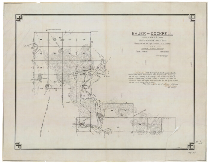
Bauer & Cockrell Lands Located in Martin County, Texas

Print $20.00
- Digital $50.00
Bauer & Cockrell Lands Located in Martin County, Texas
1908
Size 28.5 x 22.3 inches
Map/Doc 91365
[Sketch showing Connecting Lines]
![91938, [Sketch showing Connecting Lines], Twichell Survey Records](https://historictexasmaps.com/wmedia_w700/maps/91938-1.tif.jpg)
![91938, [Sketch showing Connecting Lines], Twichell Survey Records](https://historictexasmaps.com/wmedia_w700/maps/91938-1.tif.jpg)
Print $20.00
- Digital $50.00
[Sketch showing Connecting Lines]
Size 24.3 x 18.3 inches
Map/Doc 91938
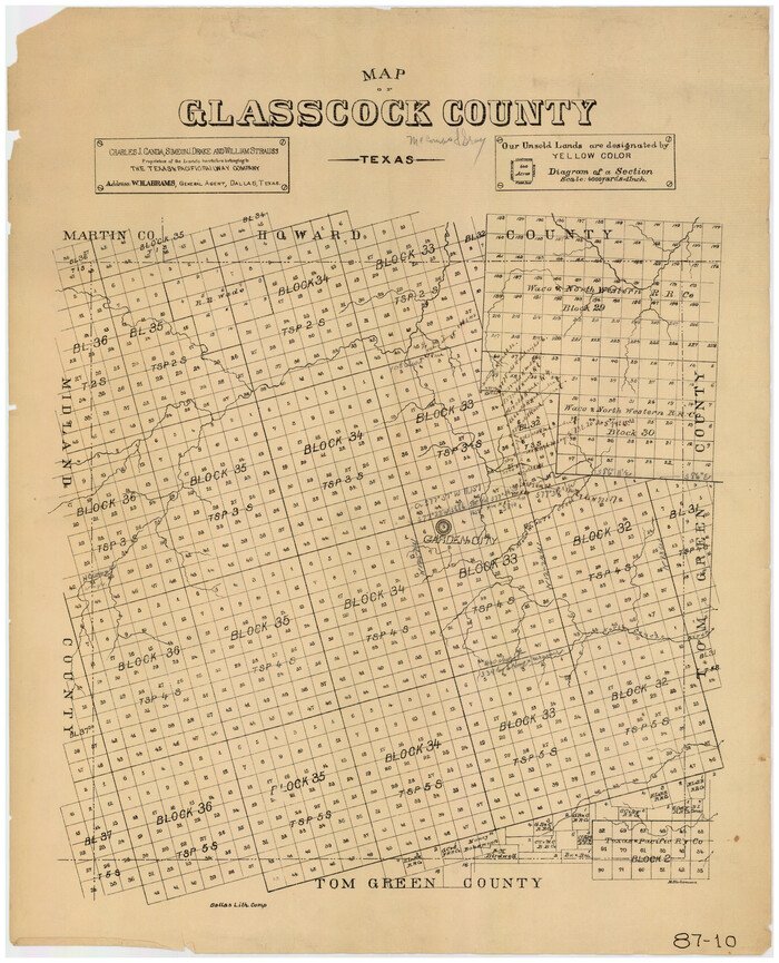
Map of Glasscock County

Print $20.00
- Digital $50.00
Map of Glasscock County
Size 19.1 x 23.1 inches
Map/Doc 90781
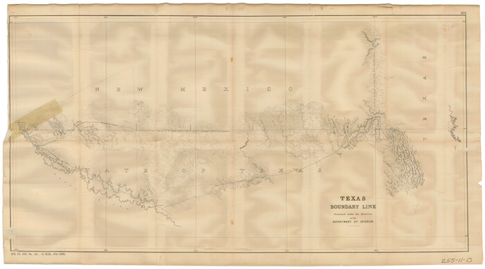
Texas Boundary Line

Print $20.00
- Digital $50.00
Texas Boundary Line
Size 21.2 x 11.8 inches
Map/Doc 92068
Culberson County Sketch [showing PSL Blocks 109-111, 113-115 and University Block 46]
![90500, Culberson County Sketch [showing PSL Blocks 109-111, 113-115 and University Block 46], Twichell Survey Records](https://historictexasmaps.com/wmedia_w700/maps/90500-1.tif.jpg)
![90500, Culberson County Sketch [showing PSL Blocks 109-111, 113-115 and University Block 46], Twichell Survey Records](https://historictexasmaps.com/wmedia_w700/maps/90500-1.tif.jpg)
Print $20.00
- Digital $50.00
Culberson County Sketch [showing PSL Blocks 109-111, 113-115 and University Block 46]
Size 25.8 x 12.7 inches
Map/Doc 90500
State of Texas, Wheeler County, Surveys 37-44-46, Block 17


Print $20.00
- Digital $50.00
State of Texas, Wheeler County, Surveys 37-44-46, Block 17
Size 19.4 x 13.0 inches
Map/Doc 92115
[PSL Block A-12]
![93229, [PSL Block A-12], Twichell Survey Records](https://historictexasmaps.com/wmedia_w700/maps/93229-1.tif.jpg)
![93229, [PSL Block A-12], Twichell Survey Records](https://historictexasmaps.com/wmedia_w700/maps/93229-1.tif.jpg)
Print $2.00
- Digital $50.00
[PSL Block A-12]
1953
Size 8.7 x 13.5 inches
Map/Doc 93229
[South Line of Block RG]
![91322, [South Line of Block RG], Twichell Survey Records](https://historictexasmaps.com/wmedia_w700/maps/91322-1.tif.jpg)
![91322, [South Line of Block RG], Twichell Survey Records](https://historictexasmaps.com/wmedia_w700/maps/91322-1.tif.jpg)
Print $20.00
- Digital $50.00
[South Line of Block RG]
Size 34.9 x 14.1 inches
Map/Doc 91322
[Blocks O5, O2, O, JD, A1, A2, A3, A4, B, T, D10, and vicinity]
![90717, [Blocks O5, O2, O, JD, A1, A2, A3, A4, B, T, D10, and vicinity], Twichell Survey Records](https://historictexasmaps.com/wmedia_w700/maps/90717-1.tif.jpg)
![90717, [Blocks O5, O2, O, JD, A1, A2, A3, A4, B, T, D10, and vicinity], Twichell Survey Records](https://historictexasmaps.com/wmedia_w700/maps/90717-1.tif.jpg)
Print $20.00
- Digital $50.00
[Blocks O5, O2, O, JD, A1, A2, A3, A4, B, T, D10, and vicinity]
Size 34.7 x 29.3 inches
Map/Doc 90717
[East Line and Red River Railroad Company, Block Z and vicinity]
![91256, [East Line and Red River Railroad Company, Block Z and vicinity], Twichell Survey Records](https://historictexasmaps.com/wmedia_w700/maps/91256-1.tif.jpg)
![91256, [East Line and Red River Railroad Company, Block Z and vicinity], Twichell Survey Records](https://historictexasmaps.com/wmedia_w700/maps/91256-1.tif.jpg)
Print $20.00
- Digital $50.00
[East Line and Red River Railroad Company, Block Z and vicinity]
1878
Size 27.8 x 22.1 inches
Map/Doc 91256
You may also like
Gray County Rolled Sketch A


Print $20.00
- Digital $50.00
Gray County Rolled Sketch A
1888
Size 40.4 x 40.8 inches
Map/Doc 9008
General Highway Map, Nolan County, Texas


Print $20.00
General Highway Map, Nolan County, Texas
1940
Size 18.4 x 24.7 inches
Map/Doc 79208
Nacogdoches County Boundary File 1b


Print $20.00
- Digital $50.00
Nacogdoches County Boundary File 1b
Size 21.2 x 4.9 inches
Map/Doc 57580
Flight Mission No. DCL-7C, Frame 43, Kenedy County
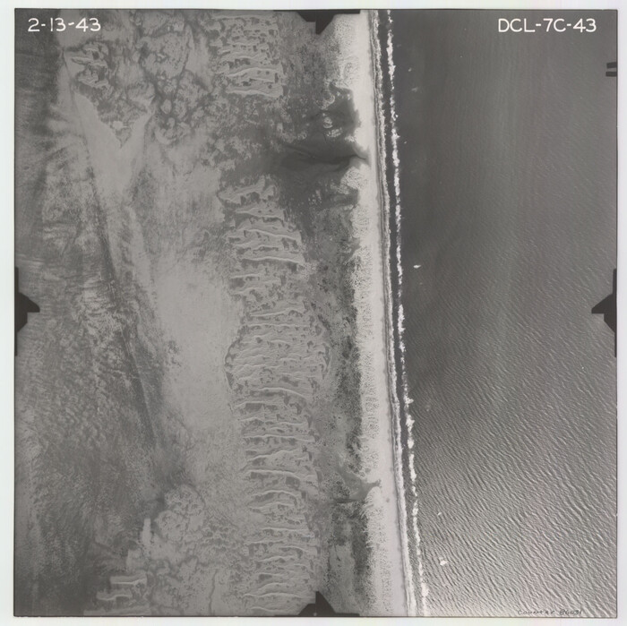

Print $20.00
- Digital $50.00
Flight Mission No. DCL-7C, Frame 43, Kenedy County
1943
Size 15.5 x 15.5 inches
Map/Doc 86031
Coke County Rolled Sketch 33


Print $20.00
- Digital $50.00
Coke County Rolled Sketch 33
2004
Size 28.9 x 40.5 inches
Map/Doc 82987
Hemphill County Boundary File 4


Print $58.00
- Digital $50.00
Hemphill County Boundary File 4
Size 10.0 x 41.1 inches
Map/Doc 54639
Panola County Rolled Sketch 4A
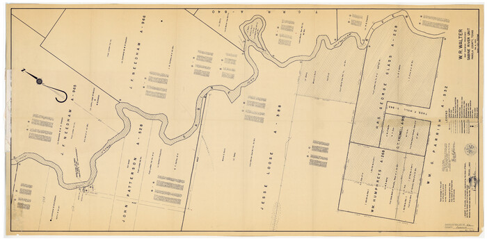

Print $40.00
- Digital $50.00
Panola County Rolled Sketch 4A
1953
Size 50.0 x 24.8 inches
Map/Doc 9677
Smith County Working Sketch 8


Print $20.00
- Digital $50.00
Smith County Working Sketch 8
1941
Size 28.9 x 22.7 inches
Map/Doc 63893
San Augustine County Sketch File 9
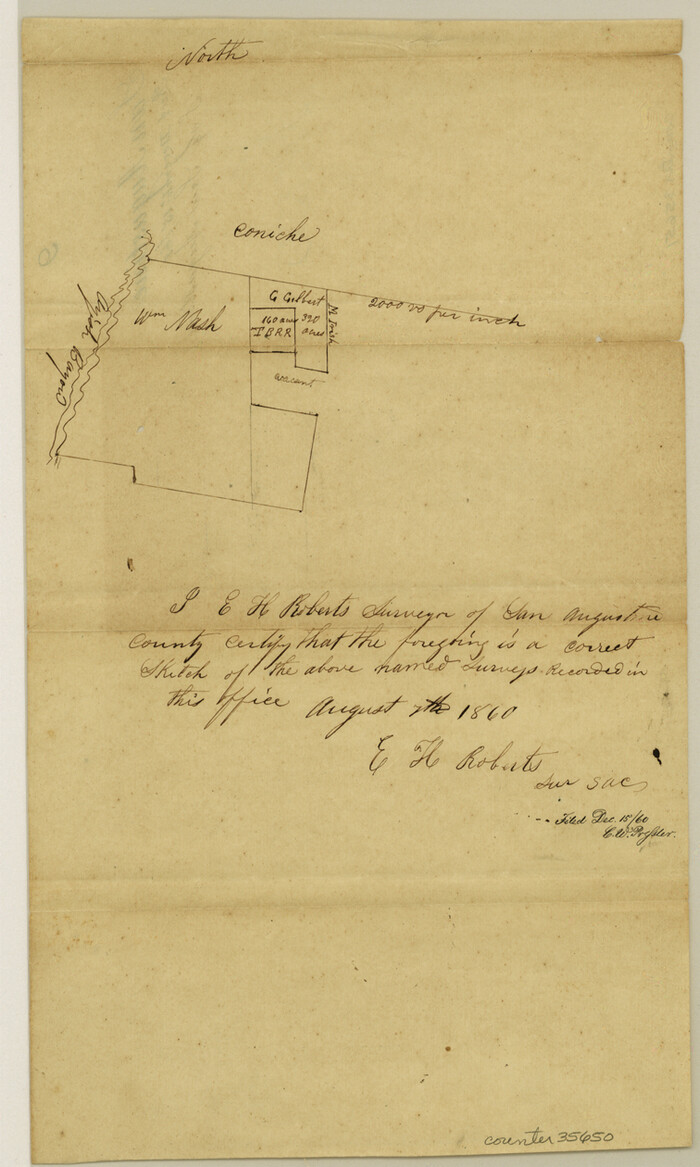

Print $4.00
San Augustine County Sketch File 9
1860
Size 12.6 x 7.6 inches
Map/Doc 35650
Flight Mission No. DAG-16K, Frame 71, Matagorda County
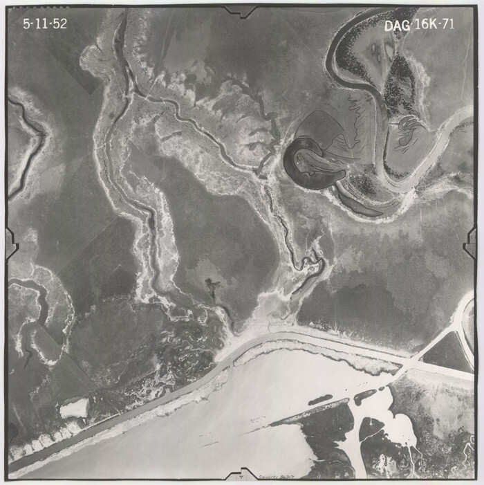

Print $20.00
- Digital $50.00
Flight Mission No. DAG-16K, Frame 71, Matagorda County
1952
Size 16.4 x 16.4 inches
Map/Doc 86317
Hudspeth County Working Sketch 47


Print $20.00
- Digital $50.00
Hudspeth County Working Sketch 47
1984
Size 27.3 x 38.6 inches
Map/Doc 78211
Gaines County Rolled Sketch 20


Print $20.00
- Digital $50.00
Gaines County Rolled Sketch 20
1955
Size 30.1 x 37.2 inches
Map/Doc 5936
![91706, [Sketch showing G. & M. Block M-20, Sections 29-46], Twichell Survey Records](https://historictexasmaps.com/wmedia_w1800h1800/maps/91706-1.tif.jpg)
