[Block XO3, Parts of Blocks Y2 and 1, and vicinity]
117-83
-
Map/Doc
91182
-
Collection
Twichell Survey Records
-
Counties
Hutchinson
-
Height x Width
13.1 x 13.9 inches
33.3 x 35.3 cm
Part of: Twichell Survey Records
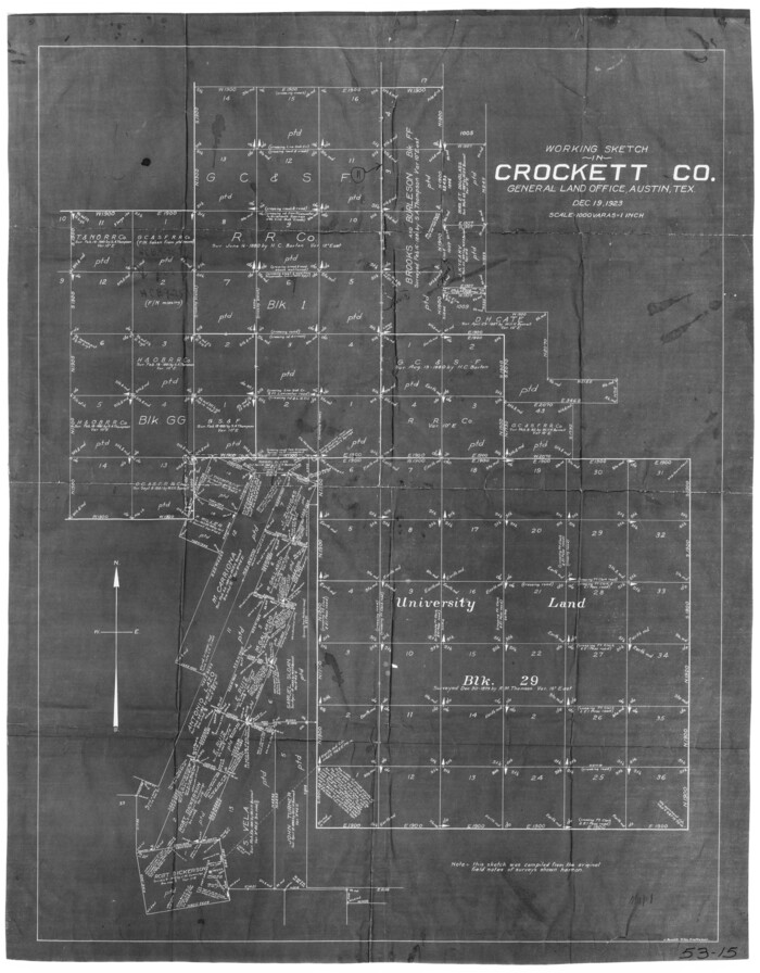
Working Sketch in Crockett County

Print $20.00
- Digital $50.00
Working Sketch in Crockett County
1923
Size 23.2 x 29.6 inches
Map/Doc 90315
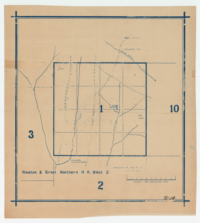
Houston & Great Northern Railroad, Block 2

Print $20.00
- Digital $50.00
Houston & Great Northern Railroad, Block 2
1921
Size 20.4 x 22.7 inches
Map/Doc 90720
[In Northwest 1/4 of County in the vicinity of the John Walker Survey]
![90903, [In Northwest 1/4 of County in the vicinity of the John Walker Survey], Twichell Survey Records](https://historictexasmaps.com/wmedia_w700/maps/90903-1.tif.jpg)
![90903, [In Northwest 1/4 of County in the vicinity of the John Walker Survey], Twichell Survey Records](https://historictexasmaps.com/wmedia_w700/maps/90903-1.tif.jpg)
Print $2.00
- Digital $50.00
[In Northwest 1/4 of County in the vicinity of the John Walker Survey]
Size 7.3 x 15.3 inches
Map/Doc 90903
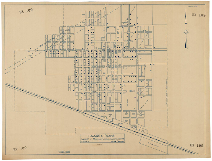
Lockney, Texas. Layout of Proposed Waterworks Improvements

Print $20.00
- Digital $50.00
Lockney, Texas. Layout of Proposed Waterworks Improvements
1927
Size 30.8 x 23.4 inches
Map/Doc 92643
[Blocks O5, A, T1, T2, T3 and vicinity]
![92201, [Blocks O5, A, T1, T2, T3 and vicinity], Twichell Survey Records](https://historictexasmaps.com/wmedia_w700/maps/92201-1.tif.jpg)
![92201, [Blocks O5, A, T1, T2, T3 and vicinity], Twichell Survey Records](https://historictexasmaps.com/wmedia_w700/maps/92201-1.tif.jpg)
Print $20.00
- Digital $50.00
[Blocks O5, A, T1, T2, T3 and vicinity]
Size 20.2 x 23.0 inches
Map/Doc 92201
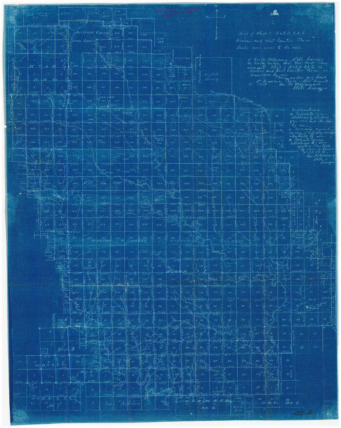
Map of Block 1, H. & G. N. Railroad Company

Print $20.00
- Digital $50.00
Map of Block 1, H. & G. N. Railroad Company
1909
Size 24.0 x 30.1 inches
Map/Doc 91017
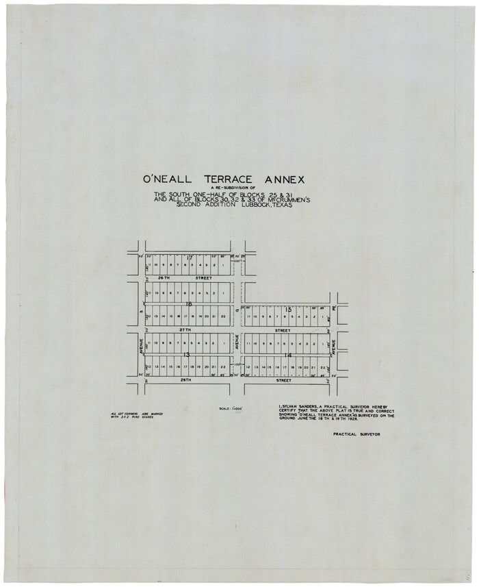
O'Neall Terrace Annex, a Re-Subdivision of the South One-half of Blocks 25 and 31 and all of Blocks 30, 32, and 33 of McCrummen's Second Addition, Lubbock, Texas

Print $20.00
- Digital $50.00
O'Neall Terrace Annex, a Re-Subdivision of the South One-half of Blocks 25 and 31 and all of Blocks 30, 32, and 33 of McCrummen's Second Addition, Lubbock, Texas
1928
Size 23.2 x 27.6 inches
Map/Doc 92747
Working Sketch compiled from original field notes showing surveys in Reagan and Irion Counties located by Frank Lerch in 1883 and 1884, also adjacent blocks and surveys (previously located by other surveyors) called for in his Field Notes


Print $20.00
- Digital $50.00
Working Sketch compiled from original field notes showing surveys in Reagan and Irion Counties located by Frank Lerch in 1883 and 1884, also adjacent blocks and surveys (previously located by other surveyors) called for in his Field Notes
1883
Size 35.8 x 20.0 inches
Map/Doc 91749
[I. & G. N. RR. Co. Blk. 6, Blks M8, M9 and M10]
![90267, [I. & G. N. RR. Co. Blk. 6, Blks M8, M9 and M10], Twichell Survey Records](https://historictexasmaps.com/wmedia_w700/maps/90267-1.tif.jpg)
![90267, [I. & G. N. RR. Co. Blk. 6, Blks M8, M9 and M10], Twichell Survey Records](https://historictexasmaps.com/wmedia_w700/maps/90267-1.tif.jpg)
Print $20.00
- Digital $50.00
[I. & G. N. RR. Co. Blk. 6, Blks M8, M9 and M10]
Size 34.2 x 20.3 inches
Map/Doc 90267
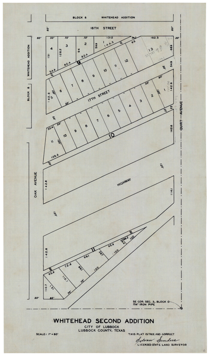
Whitehead Second Addition

Print $20.00
- Digital $50.00
Whitehead Second Addition
Size 11.0 x 18.6 inches
Map/Doc 92879
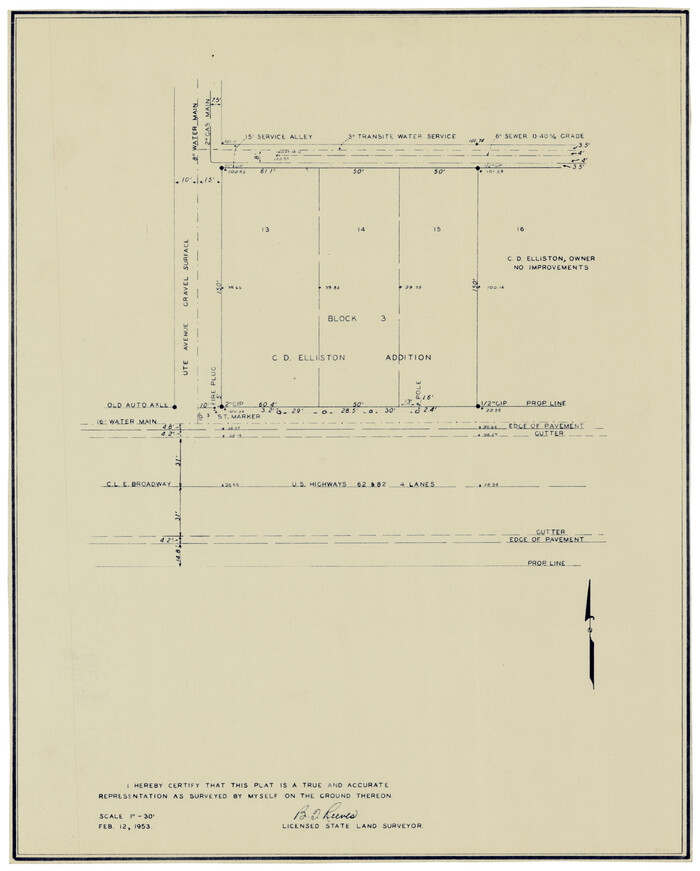
Block 3, C. D. Elliston Addition

Print $20.00
- Digital $50.00
Block 3, C. D. Elliston Addition
1953
Size 14.8 x 18.3 inches
Map/Doc 92728
[Sections 55-58, Blk. GG and surrounding surveys]
![90319, [Sections 55-58, Blk. GG and surrounding surveys], Twichell Survey Records](https://historictexasmaps.com/wmedia_w700/maps/90319-1.tif.jpg)
![90319, [Sections 55-58, Blk. GG and surrounding surveys], Twichell Survey Records](https://historictexasmaps.com/wmedia_w700/maps/90319-1.tif.jpg)
Print $20.00
- Digital $50.00
[Sections 55-58, Blk. GG and surrounding surveys]
Size 41.1 x 29.7 inches
Map/Doc 90319
You may also like
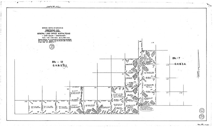
Presidio County Working Sketch 73

Print $20.00
- Digital $50.00
Presidio County Working Sketch 73
1962
Size 17.7 x 29.4 inches
Map/Doc 71750
Flight Mission No. DCL-5C, Frame 72, Kenedy County


Print $20.00
- Digital $50.00
Flight Mission No. DCL-5C, Frame 72, Kenedy County
1943
Size 18.7 x 22.5 inches
Map/Doc 85855
Goliad County Working Sketch 11


Print $20.00
- Digital $50.00
Goliad County Working Sketch 11
1941
Size 38.8 x 40.8 inches
Map/Doc 63201
West Part of Anderson County
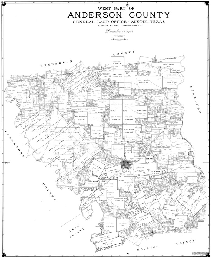

Print $20.00
- Digital $50.00
West Part of Anderson County
1942
Size 41.8 x 34.3 inches
Map/Doc 77197
Shackelford County Rolled Sketch 5


Print $20.00
- Digital $50.00
Shackelford County Rolled Sketch 5
1984
Size 23.1 x 37.1 inches
Map/Doc 7773
Harris County Historic Topographic 13


Print $20.00
- Digital $50.00
Harris County Historic Topographic 13
1915
Size 29.1 x 22.6 inches
Map/Doc 65823
Webb County Rolled Sketch 38


Print $20.00
- Digital $50.00
Webb County Rolled Sketch 38
1940
Size 22.2 x 16.0 inches
Map/Doc 8193
Brewster County Rolled Sketch 90
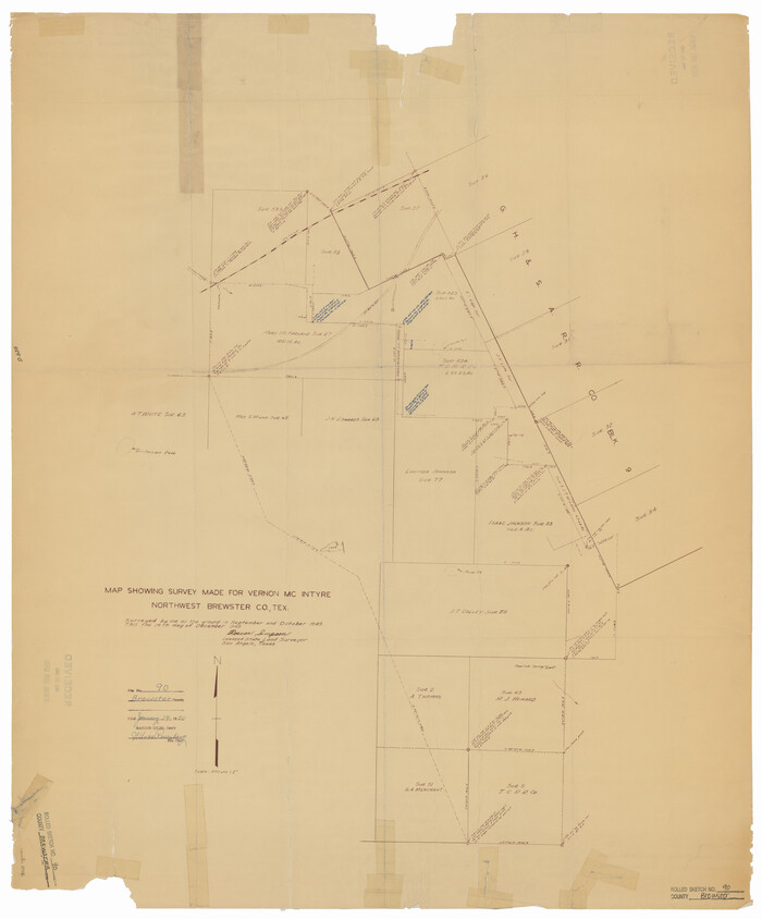

Print $20.00
- Digital $50.00
Brewster County Rolled Sketch 90
1949
Size 37.5 x 31.1 inches
Map/Doc 8506
Hood County Rolled Sketch 6A


Print $4.00
- Digital $50.00
Hood County Rolled Sketch 6A
1996
Size 19.9 x 26.5 inches
Map/Doc 6223
Young Territory


Print $20.00
- Digital $50.00
Young Territory
1865
Size 29.7 x 30.5 inches
Map/Doc 1978
Chambers County Sketch File 10
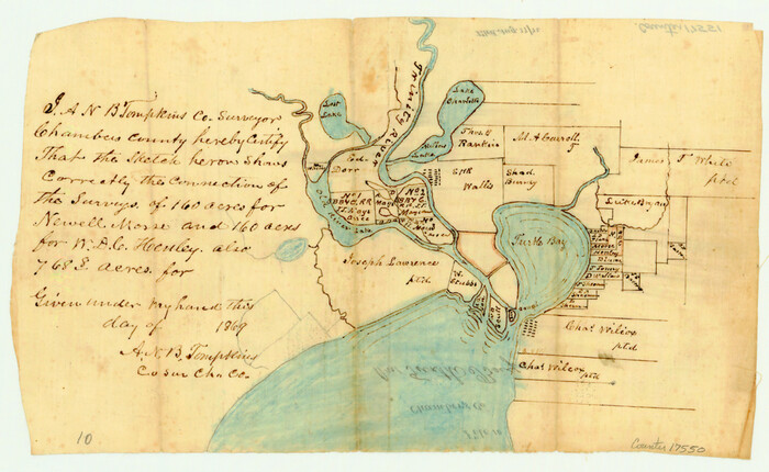

Print $4.00
- Digital $50.00
Chambers County Sketch File 10
1869
Size 6.8 x 11.1 inches
Map/Doc 17550
Parker County


Print $20.00
- Digital $50.00
Parker County
1942
Size 46.7 x 37.9 inches
Map/Doc 73258
![91182, [Block XO3, Parts of Blocks Y2 and 1, and vicinity], Twichell Survey Records](https://historictexasmaps.com/wmedia_w1800h1800/maps/91182-1.tif.jpg)