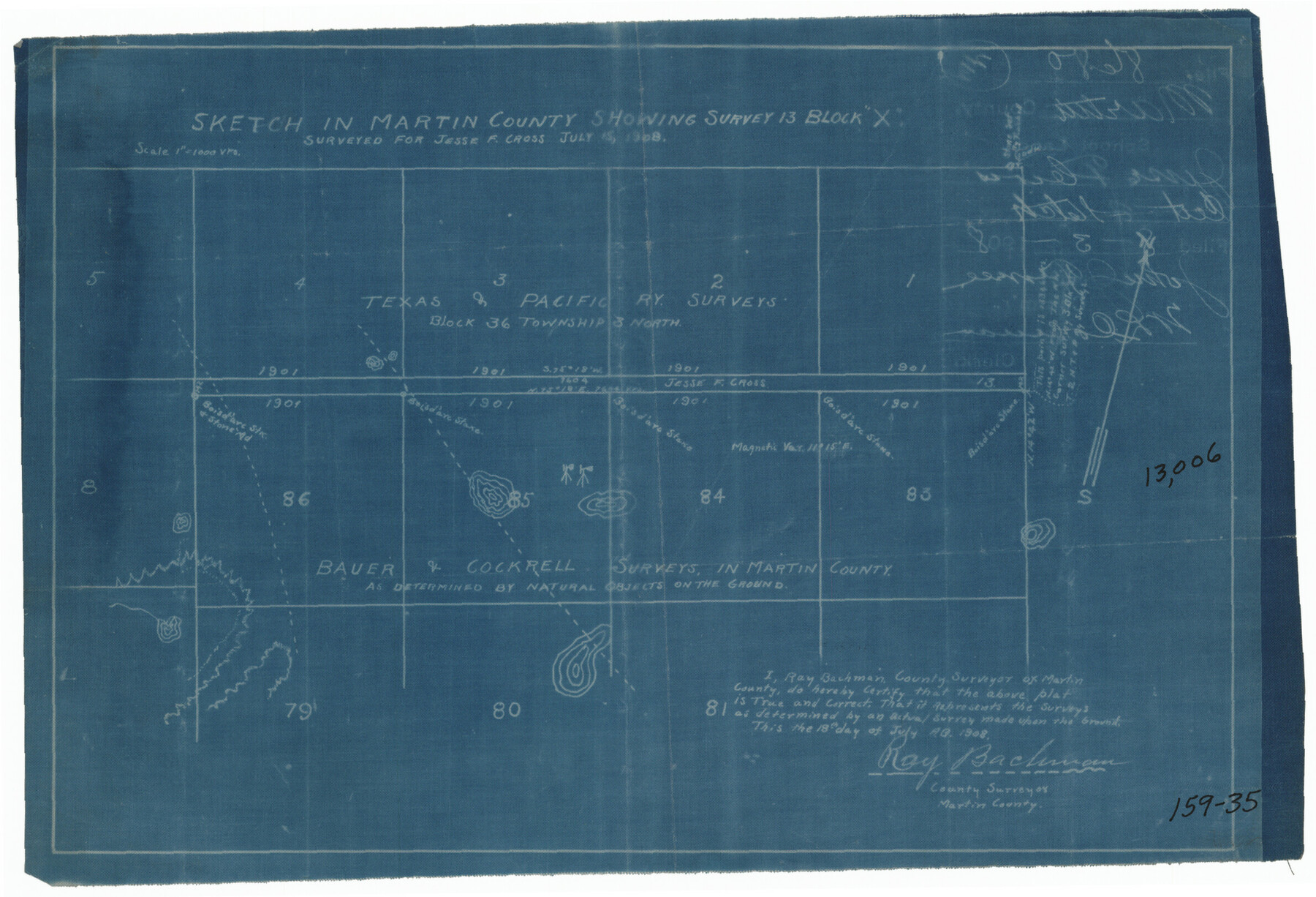
Sketch in Martin County Showing Survey 13, Block X
159-35
-
Map/Doc
91286
-
Collection
Twichell Survey Records
-
Object Dates
1908/7/18 (Creation Date)
-
People and Organizations
Ray Bachman (Surveyor/Engineer)
-
Counties
Martin
-
Height x Width
12.6 x 8.4 inches
32.0 x 21.3 cm
Part of: Twichell Survey Records
Moxley-McWhorter Irrigated Farm

Print $20.00
- Digital $50.00
Moxley-McWhorter Irrigated Farm
1946
Size 27.5 x 15.8 inches
Map/Doc 92338
[G. & M. Block 5]
![91793, [G. & M. Block 5], Twichell Survey Records](https://historictexasmaps.com/wmedia_w700/maps/91793-1.tif.jpg)
Print $20.00
- Digital $50.00
[G. & M. Block 5]
Size 34.9 x 17.2 inches
Map/Doc 91793
[Leagues 218- 236]
![91454, [Leagues 218- 236], Twichell Survey Records](https://historictexasmaps.com/wmedia_w700/maps/91454-1.tif.jpg)
Print $2.00
- Digital $50.00
[Leagues 218- 236]
Size 7.0 x 11.6 inches
Map/Doc 91454
[Gunter & Munson, Maddox Bros. & Anderson Blocks F and A and blocks south]
![91850, [Gunter & Munson, Maddox Bros. & Anderson Blocks F and A and blocks south], Twichell Survey Records](https://historictexasmaps.com/wmedia_w700/maps/91850-1.tif.jpg)
Print $20.00
- Digital $50.00
[Gunter & Munson, Maddox Bros. & Anderson Blocks F and A and blocks south]
Size 18.3 x 19.8 inches
Map/Doc 91850
[Subdivision of Crockett County School Land Lgs. 214-217]
![90108, [Subdivision of Crockett County School Land Lgs. 214-217], Twichell Survey Records](https://historictexasmaps.com/wmedia_w700/maps/90108-1.tif.jpg)
Print $2.00
- Digital $50.00
[Subdivision of Crockett County School Land Lgs. 214-217]
Size 12.1 x 8.3 inches
Map/Doc 90108
[Area along West County Line]
![90833, [Area along West County Line], Twichell Survey Records](https://historictexasmaps.com/wmedia_w700/maps/90833-2.tif.jpg)
Print $2.00
- Digital $50.00
[Area along West County Line]
Size 7.0 x 9.6 inches
Map/Doc 90833
Loving County

Print $20.00
- Digital $50.00
Loving County
1889
Size 24.6 x 19.6 inches
Map/Doc 91385
Wonderland, Randolph Place, and Deer Wood

Print $20.00
- Digital $50.00
Wonderland, Randolph Place, and Deer Wood
Size 18.9 x 24.8 inches
Map/Doc 92742
[Blocks M1 and 3T]
![93008, [Blocks M1 and 3T], Twichell Survey Records](https://historictexasmaps.com/wmedia_w700/maps/93008-1.tif.jpg)
Print $2.00
- Digital $50.00
[Blocks M1 and 3T]
Size 15.6 x 6.4 inches
Map/Doc 93008
Sheet 1 copied from Peck Book 6 [Strip Map showing T. & P. connecting lines]
![93169, Sheet 1 copied from Peck Book 6 [Strip Map showing T. & P. connecting lines], Twichell Survey Records](https://historictexasmaps.com/wmedia_w700/maps/93169-1.tif.jpg)
Print $40.00
- Digital $50.00
Sheet 1 copied from Peck Book 6 [Strip Map showing T. & P. connecting lines]
1909
Size 6.8 x 83.1 inches
Map/Doc 93169
Highway Addition to Littlefield, Texas

Print $3.00
- Digital $50.00
Highway Addition to Littlefield, Texas
Size 14.3 x 11.7 inches
Map/Doc 92266
Section F Tech Memorial Park, Inc.

Print $20.00
- Digital $50.00
Section F Tech Memorial Park, Inc.
Size 18.4 x 34.8 inches
Map/Doc 92358
You may also like
Yoakum County, Texas

Print $20.00
- Digital $50.00
Yoakum County, Texas
1936
Size 38.4 x 43.5 inches
Map/Doc 89903
Crockett County Working Sketch 77

Print $40.00
- Digital $50.00
Crockett County Working Sketch 77
1966
Size 29.6 x 58.5 inches
Map/Doc 68410
Presidio County

Print $40.00
- Digital $50.00
Presidio County
1875
Size 98.1 x 36.4 inches
Map/Doc 88866
[Sketch of Fred Turner Survey 7]
![91542, [Sketch of Fred Turner Survey 7], Twichell Survey Records](https://historictexasmaps.com/wmedia_w700/maps/91542-1.tif.jpg)
Print $2.00
- Digital $50.00
[Sketch of Fred Turner Survey 7]
1928
Size 9.0 x 12.2 inches
Map/Doc 91542
Comal County Working Sketch 15

Print $20.00
- Digital $50.00
Comal County Working Sketch 15
1994
Size 44.6 x 31.0 inches
Map/Doc 68181
Gulf Coast of the United States, Key West to Rio Grande

Print $20.00
- Digital $50.00
Gulf Coast of the United States, Key West to Rio Grande
1892
Size 27.5 x 18.3 inches
Map/Doc 72669
Hartley County Sketch File 9

Print $12.00
- Digital $50.00
Hartley County Sketch File 9
1903
Size 10.8 x 7.2 inches
Map/Doc 26094
[Surveys in Austin's Colony south of the San Antonio Road and west of the Colorado River]
![50, [Surveys in Austin's Colony south of the San Antonio Road and west of the Colorado River], General Map Collection](https://historictexasmaps.com/wmedia_w700/maps/50.tif.jpg)
Print $20.00
- Digital $50.00
[Surveys in Austin's Colony south of the San Antonio Road and west of the Colorado River]
1840
Size 16.8 x 22.2 inches
Map/Doc 50
McCulloch County

Print $40.00
- Digital $50.00
McCulloch County
1904
Size 50.0 x 37.3 inches
Map/Doc 7823
[East line of North Part of Childress County along border with Oklahoma]
![92084, [East line of North Part of Childress County along border with Oklahoma], Twichell Survey Records](https://historictexasmaps.com/wmedia_w700/maps/92084-1.tif.jpg)
Print $20.00
- Digital $50.00
[East line of North Part of Childress County along border with Oklahoma]
Size 20.4 x 6.1 inches
Map/Doc 92084
Maps of Gulf Intracoastal Waterway, Texas - Sabine River to the Rio Grande and connecting waterways including ship channels

Print $20.00
- Digital $50.00
Maps of Gulf Intracoastal Waterway, Texas - Sabine River to the Rio Grande and connecting waterways including ship channels
1966
Size 14.6 x 20.8 inches
Map/Doc 61995
Burnet County Highway Map

Print $20.00
- Digital $50.00
Burnet County Highway Map
Size 25.5 x 18.5 inches
Map/Doc 92471