[Three Positions Concluded, Exhibit F]
170-6
-
Map/Doc
91371
-
Collection
Twichell Survey Records
-
Counties
Montgomery
-
Height x Width
26.0 x 16.4 inches
66.0 x 41.7 cm
Part of: Twichell Survey Records
Map of N. W. Portion Blk G. Gaines Co.


Print $20.00
- Digital $50.00
Map of N. W. Portion Blk G. Gaines Co.
1914
Size 37.4 x 26.7 inches
Map/Doc 90867
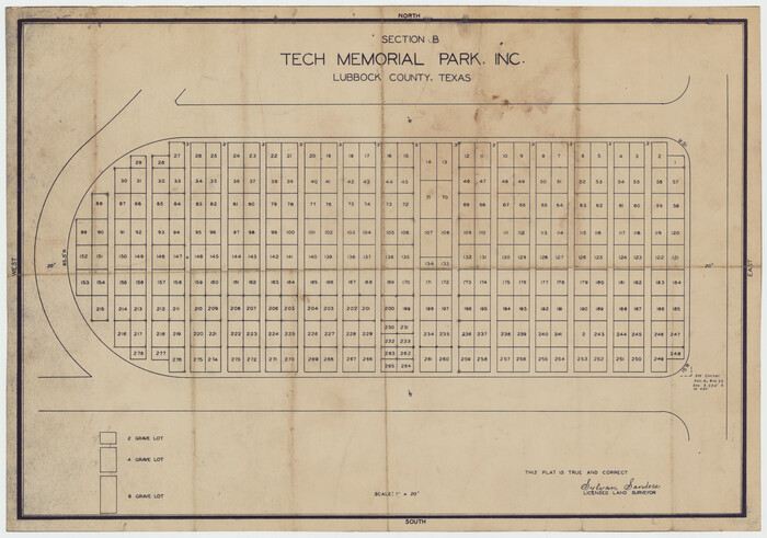
Section B Tech Memorial Park, Inc.

Print $3.00
- Digital $50.00
Section B Tech Memorial Park, Inc.
Size 14.1 x 10.0 inches
Map/Doc 92268
[Blocks JD, B, D10, A2, A3]
![90777, [Blocks JD, B, D10, A2, A3], Twichell Survey Records](https://historictexasmaps.com/wmedia_w700/maps/90777-1.tif.jpg)
![90777, [Blocks JD, B, D10, A2, A3], Twichell Survey Records](https://historictexasmaps.com/wmedia_w700/maps/90777-1.tif.jpg)
Print $2.00
- Digital $50.00
[Blocks JD, B, D10, A2, A3]
Size 7.3 x 13.4 inches
Map/Doc 90777
[School Leagues 245-260, 320-322, 325]
![91342, [School Leagues 245-260, 320-322, 325], Twichell Survey Records](https://historictexasmaps.com/wmedia_w700/maps/91342-1.tif.jpg)
![91342, [School Leagues 245-260, 320-322, 325], Twichell Survey Records](https://historictexasmaps.com/wmedia_w700/maps/91342-1.tif.jpg)
Print $20.00
- Digital $50.00
[School Leagues 245-260, 320-322, 325]
Size 23.3 x 41.4 inches
Map/Doc 91342
North Part of Brewster Co.


Print $40.00
- Digital $50.00
North Part of Brewster Co.
1914
Size 49.3 x 40.5 inches
Map/Doc 89724
[Southeast Portion of Lubbock County]
![91313, [Southeast Portion of Lubbock County], Twichell Survey Records](https://historictexasmaps.com/wmedia_w700/maps/91313-1.tif.jpg)
![91313, [Southeast Portion of Lubbock County], Twichell Survey Records](https://historictexasmaps.com/wmedia_w700/maps/91313-1.tif.jpg)
Print $20.00
- Digital $50.00
[Southeast Portion of Lubbock County]
Size 24.7 x 18.5 inches
Map/Doc 91313
[H.& G.N. Block B3 in NE corner of County]
![90272, [H.& G.N. Block B3 in NE corner of County], Twichell Survey Records](https://historictexasmaps.com/wmedia_w700/maps/90272-1.tif.jpg)
![90272, [H.& G.N. Block B3 in NE corner of County], Twichell Survey Records](https://historictexasmaps.com/wmedia_w700/maps/90272-1.tif.jpg)
Print $3.00
- Digital $50.00
[H.& G.N. Block B3 in NE corner of County]
Size 13.8 x 9.7 inches
Map/Doc 90272
[H. & T. C. RR. Company, Block 47]
![91243, [H. & T. C. RR. Company, Block 47], Twichell Survey Records](https://historictexasmaps.com/wmedia_w700/maps/91243-1.tif.jpg)
![91243, [H. & T. C. RR. Company, Block 47], Twichell Survey Records](https://historictexasmaps.com/wmedia_w700/maps/91243-1.tif.jpg)
Print $20.00
- Digital $50.00
[H. & T. C. RR. Company, Block 47]
Size 27.8 x 26.4 inches
Map/Doc 91243
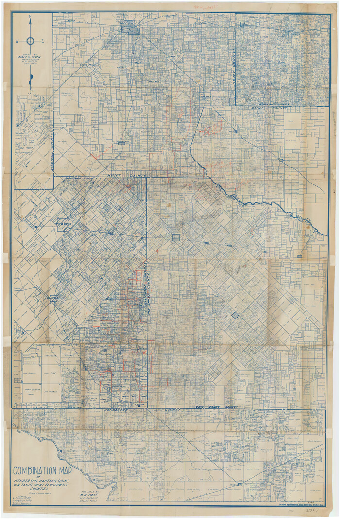
Combination Map of Henderson, Kaufman, Rains, Van Zandt, Hunt & Rockwall Counties

Print $40.00
- Digital $50.00
Combination Map of Henderson, Kaufman, Rains, Van Zandt, Hunt & Rockwall Counties
Size 42.6 x 64.8 inches
Map/Doc 89810
Selected List of Wells accompanying Map of Wyoming showing Test Wells for Oil and Gas, Anticlinal Axes, Oil and Gas Fields, Pipelines, Unit Areas, and Land 3 District Boundaries, 1949


Print $20.00
- Digital $50.00
Selected List of Wells accompanying Map of Wyoming showing Test Wells for Oil and Gas, Anticlinal Axes, Oil and Gas Fields, Pipelines, Unit Areas, and Land 3 District Boundaries, 1949
1949
Size 26.2 x 41.5 inches
Map/Doc 89690
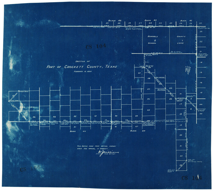
Sketch of Part of Crockett County, Texas

Print $20.00
- Digital $50.00
Sketch of Part of Crockett County, Texas
1925
Size 20.0 x 18.0 inches
Map/Doc 92545
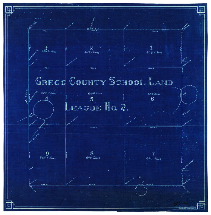
Gregg County School Land League 2

Print $2.00
- Digital $50.00
Gregg County School Land League 2
Size 9.0 x 9.3 inches
Map/Doc 90541
You may also like
Brewster County Sketch File N-20


Print $40.00
- Digital $50.00
Brewster County Sketch File N-20
1941
Size 16.5 x 20.5 inches
Map/Doc 10967
El Paso County Working Sketch 41
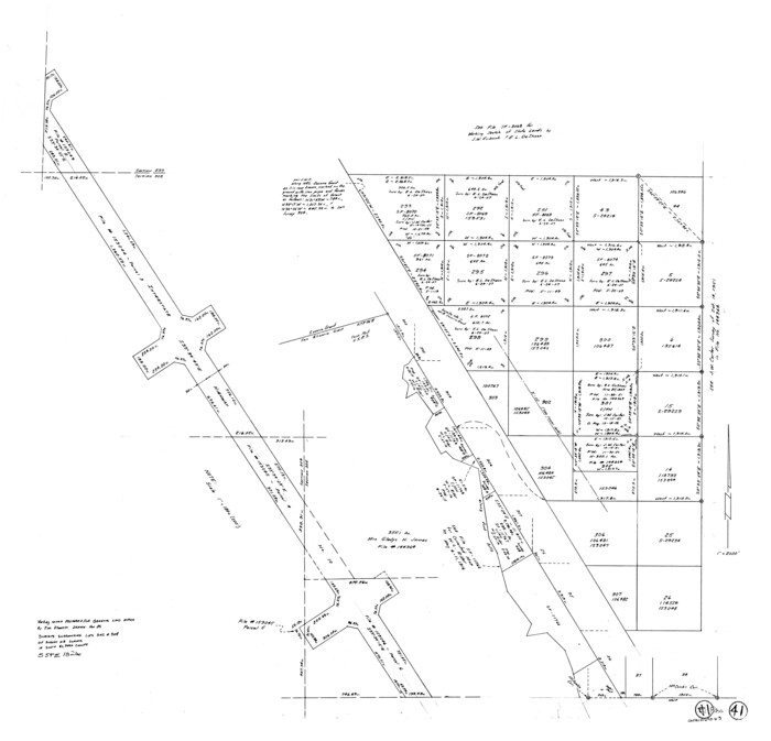

Print $20.00
- Digital $50.00
El Paso County Working Sketch 41
1985
Size 30.3 x 31.6 inches
Map/Doc 69063
Colorado County Working Sketch 17
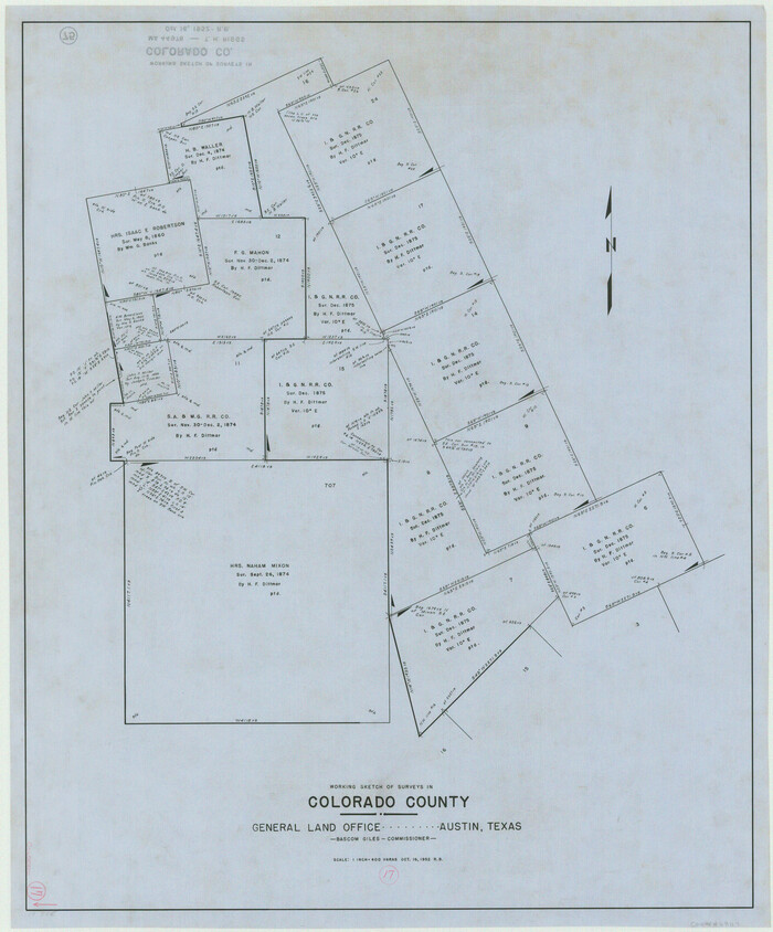

Print $20.00
- Digital $50.00
Colorado County Working Sketch 17
1952
Size 36.4 x 30.2 inches
Map/Doc 68117
Flight Mission No. CRE-3R, Frame 41, Jackson County


Print $20.00
- Digital $50.00
Flight Mission No. CRE-3R, Frame 41, Jackson County
1956
Size 18.6 x 22.4 inches
Map/Doc 85388
Dominguez Empresario Colony. February 6, 1829
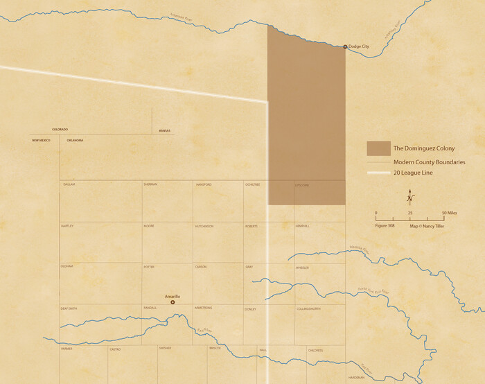

Print $20.00
Dominguez Empresario Colony. February 6, 1829
2020
Size 17.2 x 21.7 inches
Map/Doc 95992
Castro County Sketch File 13
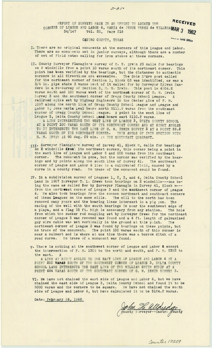

Print $4.00
- Digital $50.00
Castro County Sketch File 13
1962
Size 14.1 x 8.6 inches
Map/Doc 17509
Calhoun County Working Sketch 5


Print $40.00
- Digital $50.00
Calhoun County Working Sketch 5
1941
Size 23.7 x 125.2 inches
Map/Doc 67821
A. H. Baer Estate


Print $20.00
- Digital $50.00
A. H. Baer Estate
Size 18.4 x 15.6 inches
Map/Doc 92748
[West Part of Claude E. Halsell's Survey Section 6 Block A7]
![91063, [West Part of Claude E. Halsell's Survey Section 6 Block A7], Twichell Survey Records](https://historictexasmaps.com/wmedia_w700/maps/91063-1.tif.jpg)
![91063, [West Part of Claude E. Halsell's Survey Section 6 Block A7], Twichell Survey Records](https://historictexasmaps.com/wmedia_w700/maps/91063-1.tif.jpg)
Print $2.00
- Digital $50.00
[West Part of Claude E. Halsell's Survey Section 6 Block A7]
Size 9.2 x 14.7 inches
Map/Doc 91063
Sketch in NE Portion Hutchinson County
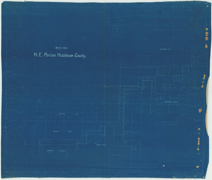

Print $20.00
- Digital $50.00
Sketch in NE Portion Hutchinson County
1913
Size 36.9 x 43.3 inches
Map/Doc 75815
Eastland County Boundary File 1
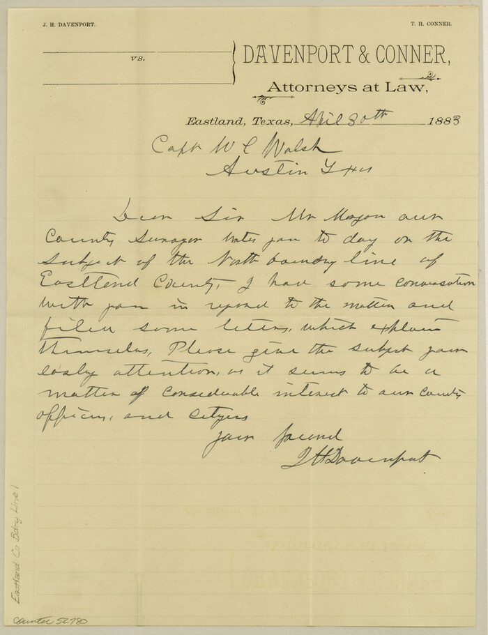

Print $10.00
- Digital $50.00
Eastland County Boundary File 1
Size 11.1 x 8.5 inches
Map/Doc 52780
Dimmit County Sketch File 50
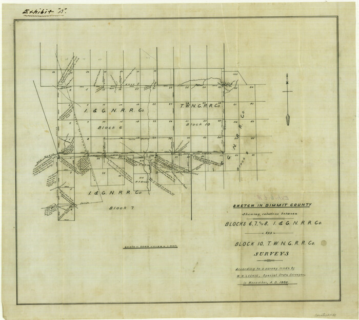

Print $36.00
- Digital $50.00
Dimmit County Sketch File 50
1909
Size 18.2 x 20.4 inches
Map/Doc 21181
![91371, [Three Positions Concluded, Exhibit F], Twichell Survey Records](https://historictexasmaps.com/wmedia_w1800h1800/maps/91371-1.tif.jpg)