[H. & T. C. RR. Company, Block 47]
117-39
-
Map/Doc
91243
-
Collection
Twichell Survey Records
-
Counties
Hutchinson
-
Height x Width
27.8 x 26.4 inches
70.6 x 67.1 cm
Part of: Twichell Survey Records
[Sketch showing Blocks M19, 20F, JAD, Z6, 2, 9 and 11]
![89787, [Sketch showing Blocks M19, 20F, JAD, Z6, 2, 9 and 11], Twichell Survey Records](https://historictexasmaps.com/wmedia_w700/maps/89787-1.tif.jpg)
![89787, [Sketch showing Blocks M19, 20F, JAD, Z6, 2, 9 and 11], Twichell Survey Records](https://historictexasmaps.com/wmedia_w700/maps/89787-1.tif.jpg)
Print $40.00
- Digital $50.00
[Sketch showing Blocks M19, 20F, JAD, Z6, 2, 9 and 11]
Size 42.2 x 54.7 inches
Map/Doc 89787
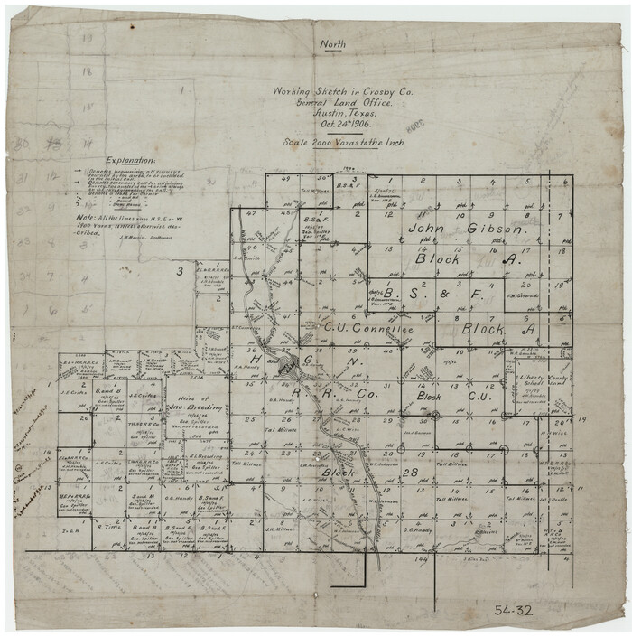
Working Sketch in Crosby Co.

Print $20.00
- Digital $50.00
Working Sketch in Crosby Co.
1906
Size 17.5 x 17.9 inches
Map/Doc 90350
[I. M. Bolton, L. S. Thacker, and R. C. Poteet Subdivisions]
![92577, [I. M. Bolton, L. S. Thacker, and R. C. Poteet Subdivisions], Twichell Survey Records](https://historictexasmaps.com/wmedia_w700/maps/92577-1.tif.jpg)
![92577, [I. M. Bolton, L. S. Thacker, and R. C. Poteet Subdivisions], Twichell Survey Records](https://historictexasmaps.com/wmedia_w700/maps/92577-1.tif.jpg)
Print $20.00
- Digital $50.00
[I. M. Bolton, L. S. Thacker, and R. C. Poteet Subdivisions]
1924
Size 18.8 x 24.5 inches
Map/Doc 92577
[Floyd County School Land Lgs. 180-183, Fisher County School Land Lgs. 105-108, and part of Blk. V]
![90191, [Floyd County Schoo Land Lgs. 180-183, Fisher County School Land Lgs. 105-108, and part of Blk. V], Twichell Survey Records](https://historictexasmaps.com/wmedia_w700/maps/90191-1.tif.jpg)
![90191, [Floyd County Schoo Land Lgs. 180-183, Fisher County School Land Lgs. 105-108, and part of Blk. V], Twichell Survey Records](https://historictexasmaps.com/wmedia_w700/maps/90191-1.tif.jpg)
Print $2.00
- Digital $50.00
[Floyd County School Land Lgs. 180-183, Fisher County School Land Lgs. 105-108, and part of Blk. V]
Size 8.8 x 10.3 inches
Map/Doc 90191
Jarrott Ranch Yeso, New Mexico


Print $20.00
- Digital $50.00
Jarrott Ranch Yeso, New Mexico
Size 26.3 x 19.8 inches
Map/Doc 92423
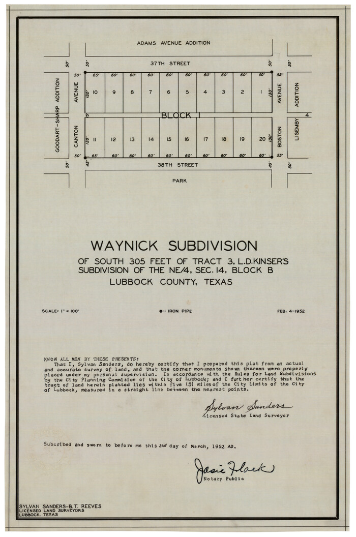
Waynick Subdivision

Print $3.00
- Digital $50.00
Waynick Subdivision
1952
Size 11.8 x 17.8 inches
Map/Doc 92415
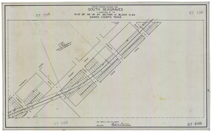
Sketch Showing Railroad through South Seagraves

Print $20.00
- Digital $50.00
Sketch Showing Railroad through South Seagraves
1945
Size 29.1 x 18.4 inches
Map/Doc 92686
Section E Tech Memorial Park, Inc.


Print $20.00
- Digital $50.00
Section E Tech Memorial Park, Inc.
Size 30.9 x 19.1 inches
Map/Doc 92301
[Sketch showing west part of county]
![91713, [Sketch showing west part of county], Twichell Survey Records](https://historictexasmaps.com/wmedia_w700/maps/91713-1.tif.jpg)
![91713, [Sketch showing west part of county], Twichell Survey Records](https://historictexasmaps.com/wmedia_w700/maps/91713-1.tif.jpg)
Print $20.00
- Digital $50.00
[Sketch showing west part of county]
Size 24.2 x 13.8 inches
Map/Doc 91713
[Map of Lubbock showing Sears Addition, Sunset Place, Loma Linda Place, University Place, Webb Addition, Ellwood Place, Del Mar Addition and Del Mar Annex]
![92729, [Map of Lubbock showing Sears Addition, Sunset Place, Loma Linda Place, University Place, Webb Addition, Ellwood Place, Del Mar Addition and Del Mar Annex], Twichell Survey Records](https://historictexasmaps.com/wmedia_w700/maps/92729-1.tif.jpg)
![92729, [Map of Lubbock showing Sears Addition, Sunset Place, Loma Linda Place, University Place, Webb Addition, Ellwood Place, Del Mar Addition and Del Mar Annex], Twichell Survey Records](https://historictexasmaps.com/wmedia_w700/maps/92729-1.tif.jpg)
Print $20.00
- Digital $50.00
[Map of Lubbock showing Sears Addition, Sunset Place, Loma Linda Place, University Place, Webb Addition, Ellwood Place, Del Mar Addition and Del Mar Annex]
Size 30.8 x 30.8 inches
Map/Doc 92729
[Capitol Leagues 217-239]
![90668, [Capitol Leagues 217-239], Twichell Survey Records](https://historictexasmaps.com/wmedia_w700/maps/90668-1.tif.jpg)
![90668, [Capitol Leagues 217-239], Twichell Survey Records](https://historictexasmaps.com/wmedia_w700/maps/90668-1.tif.jpg)
Print $20.00
- Digital $50.00
[Capitol Leagues 217-239]
Size 26.9 x 26.6 inches
Map/Doc 90668
Sandhills Water Rights Survey, City of Lubbock, Texas


Print $40.00
- Digital $50.00
Sandhills Water Rights Survey, City of Lubbock, Texas
1957
Size 76.1 x 31.4 inches
Map/Doc 93211
You may also like
Williamson County Sketch File 12


Print $4.00
- Digital $50.00
Williamson County Sketch File 12
1860
Size 12.6 x 3.4 inches
Map/Doc 40326
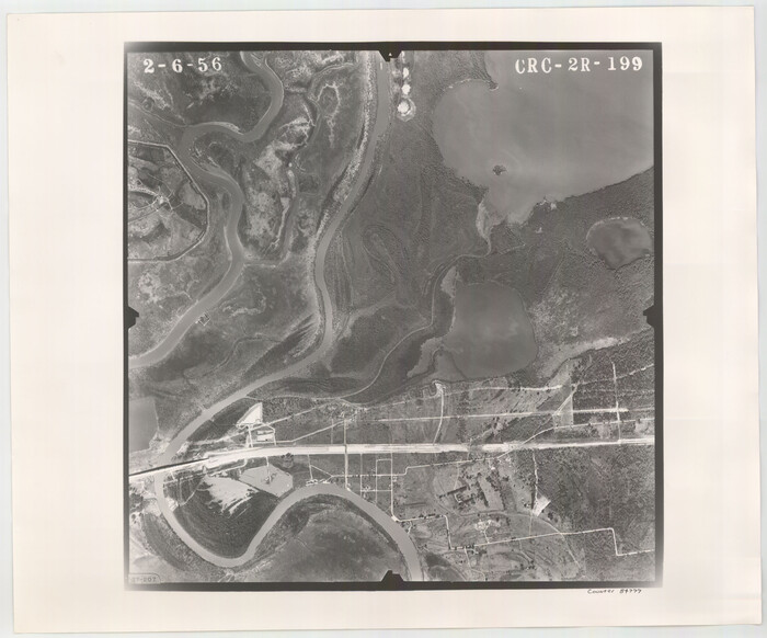
Flight Mission No. CRC-2R, Frame 199, Chambers County

Print $20.00
- Digital $50.00
Flight Mission No. CRC-2R, Frame 199, Chambers County
1956
Size 18.6 x 22.4 inches
Map/Doc 84777
Crockett County Rolled Sketch 80


Print $40.00
- Digital $50.00
Crockett County Rolled Sketch 80
1954
Size 24.8 x 55.5 inches
Map/Doc 8725
Bowie County Sketch File 5


Print $4.00
- Digital $50.00
Bowie County Sketch File 5
Size 10.1 x 7.5 inches
Map/Doc 14837
Map of Block 1, H. & G. N. R. R. Co., Dickens and Kent Counties Texas
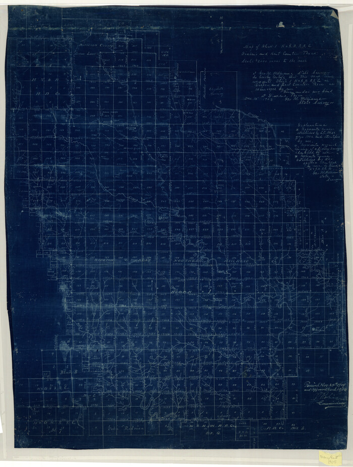

Print $20.00
- Digital $50.00
Map of Block 1, H. & G. N. R. R. Co., Dickens and Kent Counties Texas
1908
Size 32.0 x 24.2 inches
Map/Doc 10780
Hockley County


Print $20.00
- Digital $50.00
Hockley County
1954
Size 42.7 x 38.2 inches
Map/Doc 73181
Right of Way and Track Map, The Missouri, Kansas and Texas Ry. of Texas operated by the Missouri, Kansas and Texas Ry. of Texas, Henrietta Division
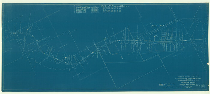

Print $40.00
- Digital $50.00
Right of Way and Track Map, The Missouri, Kansas and Texas Ry. of Texas operated by the Missouri, Kansas and Texas Ry. of Texas, Henrietta Division
1918
Size 25.4 x 56.3 inches
Map/Doc 64068
Nine Central Panhandle Counties, Texas


Print $20.00
- Digital $50.00
Nine Central Panhandle Counties, Texas
1899
Size 41.3 x 35.0 inches
Map/Doc 93045
Rusk County Working Sketch 28
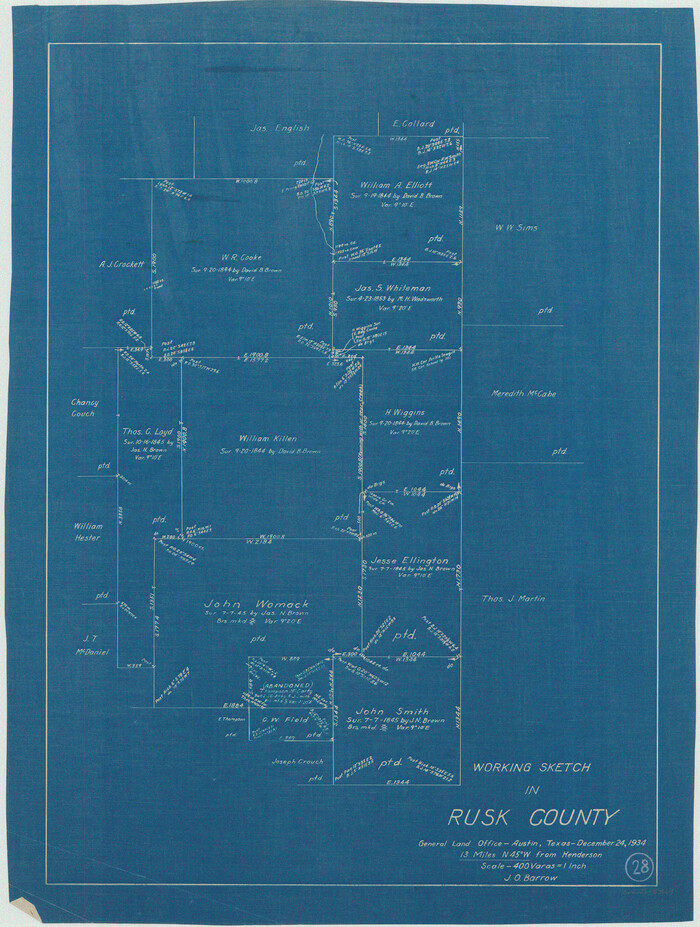

Print $20.00
- Digital $50.00
Rusk County Working Sketch 28
1934
Size 24.2 x 18.3 inches
Map/Doc 63664
Presidio County Rolled Sketch 53
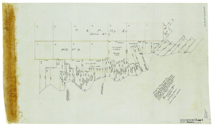

Print $20.00
- Digital $50.00
Presidio County Rolled Sketch 53
1911
Size 13.0 x 22.2 inches
Map/Doc 7346
McClennan County Robertson District East of the Brazos Milam District West of the Brazos


Print $20.00
- Digital $50.00
McClennan County Robertson District East of the Brazos Milam District West of the Brazos
1878
Size 21.0 x 23.4 inches
Map/Doc 3865
Map of Portions of Eastland, Brown and Comanche Counties


Print $20.00
Map of Portions of Eastland, Brown and Comanche Counties
Size 21.7 x 16.7 inches
Map/Doc 88926
![91243, [H. & T. C. RR. Company, Block 47], Twichell Survey Records](https://historictexasmaps.com/wmedia_w1800h1800/maps/91243-1.tif.jpg)