[Vicinity of Wilson Strickland Survey]
170-12
-
Map/Doc
91379
-
Collection
Twichell Survey Records
-
Counties
Montgomery
-
Height x Width
35.9 x 33.3 inches
91.2 x 84.6 cm
Part of: Twichell Survey Records
Moxley-McWhorter Irrigated Farm


Print $20.00
- Digital $50.00
Moxley-McWhorter Irrigated Farm
1946
Size 27.5 x 15.8 inches
Map/Doc 92338
[Sketch of "B" Blocks]
![89749, [Sketch of "B" Blocks], Twichell Survey Records](https://historictexasmaps.com/wmedia_w700/maps/89749-1.tif.jpg)
![89749, [Sketch of "B" Blocks], Twichell Survey Records](https://historictexasmaps.com/wmedia_w700/maps/89749-1.tif.jpg)
Print $40.00
- Digital $50.00
[Sketch of "B" Blocks]
Size 61.7 x 38.1 inches
Map/Doc 89749
[Sketch centered around Thos. B. Bell survey 98 showing adjacent and nearby surveys]
![90229, [Sketch centered around Thos. B. Bell survey 98 showing adjacent and nearby surveys], Twichell Survey Records](https://historictexasmaps.com/wmedia_w700/maps/90229-1.tif.jpg)
![90229, [Sketch centered around Thos. B. Bell survey 98 showing adjacent and nearby surveys], Twichell Survey Records](https://historictexasmaps.com/wmedia_w700/maps/90229-1.tif.jpg)
Print $20.00
- Digital $50.00
[Sketch centered around Thos. B. Bell survey 98 showing adjacent and nearby surveys]
Size 33.0 x 24.1 inches
Map/Doc 90229
Deaf Smith County


Print $40.00
- Digital $50.00
Deaf Smith County
1922
Size 55.0 x 43.9 inches
Map/Doc 89768
[Worksheets related to the Wilson Strickland survey and vicinity]
![91384, [Worksheets related to the Wilson Strickland survey and vicinity], Twichell Survey Records](https://historictexasmaps.com/wmedia_w700/maps/91384-1.tif.jpg)
![91384, [Worksheets related to the Wilson Strickland survey and vicinity], Twichell Survey Records](https://historictexasmaps.com/wmedia_w700/maps/91384-1.tif.jpg)
Print $20.00
- Digital $50.00
[Worksheets related to the Wilson Strickland survey and vicinity]
Size 23.6 x 28.0 inches
Map/Doc 91384
University of Texas System University Lands


Print $20.00
- Digital $50.00
University of Texas System University Lands
1936
Size 23.1 x 17.5 inches
Map/Doc 93239
[3KA and vicinity]
![90846, [3KA and vicinity], Twichell Survey Records](https://historictexasmaps.com/wmedia_w700/maps/90846-2.tif.jpg)
![90846, [3KA and vicinity], Twichell Survey Records](https://historictexasmaps.com/wmedia_w700/maps/90846-2.tif.jpg)
Print $20.00
- Digital $50.00
[3KA and vicinity]
Size 32.9 x 10.3 inches
Map/Doc 90846
[Subdivision of Crockett County School Land Lgs. 214-217]
![90108, [Subdivision of Crockett County School Land Lgs. 214-217], Twichell Survey Records](https://historictexasmaps.com/wmedia_w700/maps/90108-1.tif.jpg)
![90108, [Subdivision of Crockett County School Land Lgs. 214-217], Twichell Survey Records](https://historictexasmaps.com/wmedia_w700/maps/90108-1.tif.jpg)
Print $2.00
- Digital $50.00
[Subdivision of Crockett County School Land Lgs. 214-217]
Size 12.1 x 8.3 inches
Map/Doc 90108
'O Bar O' Ranch


Print $40.00
- Digital $50.00
'O Bar O' Ranch
1946
Size 47.8 x 82.6 inches
Map/Doc 93202
[Block M, Block 35, Township 6 North]
![92634, [Block M, Block 35, Township 6 North], Twichell Survey Records](https://historictexasmaps.com/wmedia_w700/maps/92634-1.tif.jpg)
![92634, [Block M, Block 35, Township 6 North], Twichell Survey Records](https://historictexasmaps.com/wmedia_w700/maps/92634-1.tif.jpg)
Print $20.00
- Digital $50.00
[Block M, Block 35, Township 6 North]
Size 37.5 x 27.3 inches
Map/Doc 92634
[Surveys South of the Levi Jordan Title, Southwest of the Neches River]
![90424, [Surveys South of the Levi Jordan Title, Southwest of the Neches River], Twichell Survey Records](https://historictexasmaps.com/wmedia_w700/maps/90424-1.tif.jpg)
![90424, [Surveys South of the Levi Jordan Title, Southwest of the Neches River], Twichell Survey Records](https://historictexasmaps.com/wmedia_w700/maps/90424-1.tif.jpg)
Print $20.00
- Digital $50.00
[Surveys South of the Levi Jordan Title, Southwest of the Neches River]
Size 33.4 x 43.3 inches
Map/Doc 90424
You may also like
Houston County


Print $40.00
- Digital $50.00
Houston County
1944
Size 49.3 x 51.0 inches
Map/Doc 76037
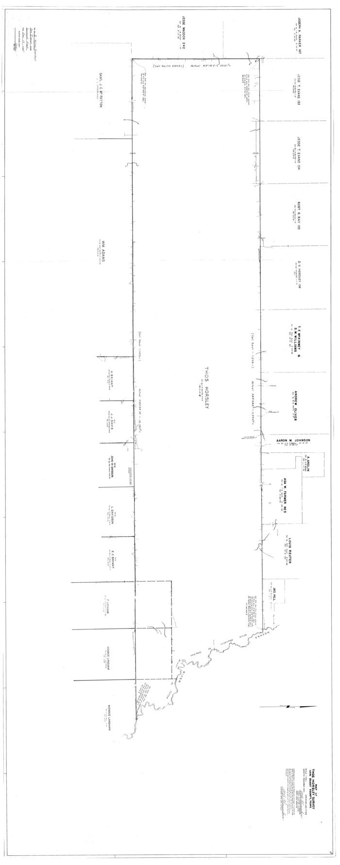
Van Zandt County Rolled Sketch 6

Print $6.00
- Digital $50.00
Van Zandt County Rolled Sketch 6
1946
Size 33.5 x 34.2 inches
Map/Doc 10091
Eleven County Map


Print $40.00
- Digital $50.00
Eleven County Map
Size 37.7 x 59.1 inches
Map/Doc 89807
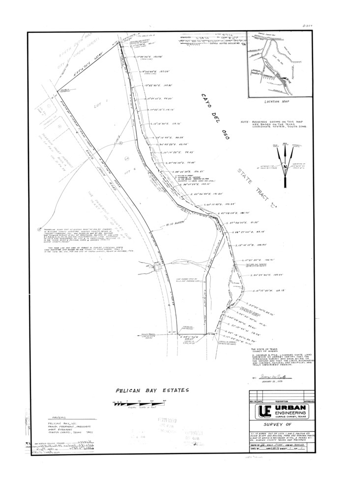
Nueces County Rolled Sketch 59

Print $20.00
- Digital $50.00
Nueces County Rolled Sketch 59
1979
Size 38.8 x 27.7 inches
Map/Doc 6906
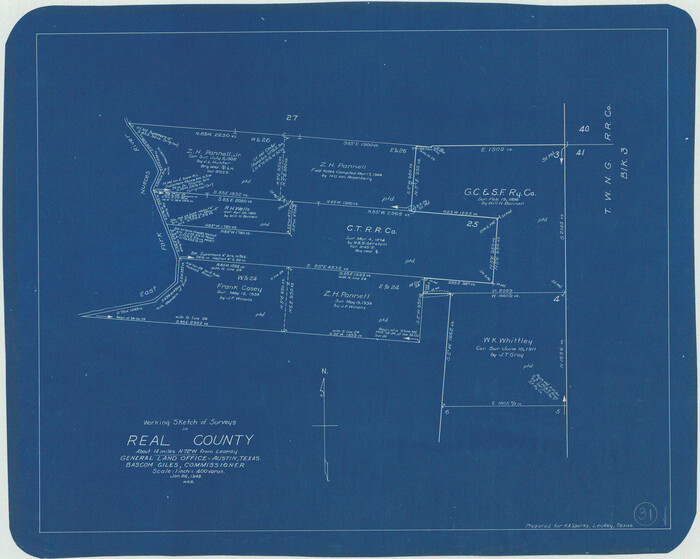
Real County Working Sketch 31

Print $20.00
- Digital $50.00
Real County Working Sketch 31
1948
Size 20.2 x 25.2 inches
Map/Doc 71923
Republic Counties. January 1, 1838
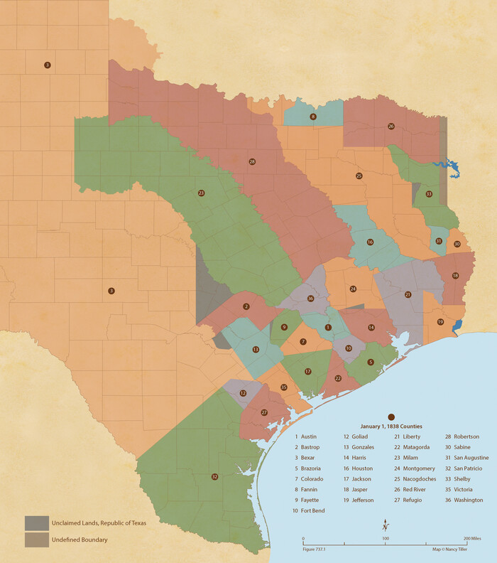

Print $20.00
Republic Counties. January 1, 1838
2020
Size 24.5 x 21.7 inches
Map/Doc 96311
Ownership Map SW 1/4 Lubbock County
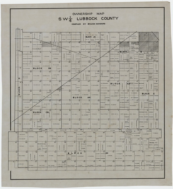

Print $20.00
- Digital $50.00
Ownership Map SW 1/4 Lubbock County
Size 33.7 x 36.8 inches
Map/Doc 89697
Hutchinson County Sketch File 12


Print $40.00
- Digital $50.00
Hutchinson County Sketch File 12
1908
Size 16.1 x 15.7 inches
Map/Doc 27211
Through Texas - a Series of Interesting and Instructive Letters


Through Texas - a Series of Interesting and Instructive Letters
1893
Size 8.7 x 6.0 inches
Map/Doc 96600
Flight Mission No. BRA-9M, Frame 67, Jefferson County
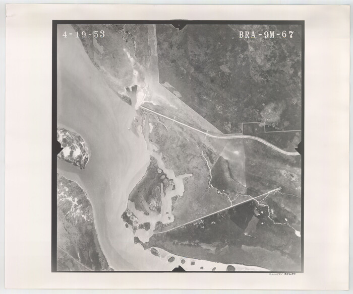

Print $20.00
- Digital $50.00
Flight Mission No. BRA-9M, Frame 67, Jefferson County
1953
Size 18.7 x 22.4 inches
Map/Doc 85650
Clay County Sketch File 14


Print $40.00
- Digital $50.00
Clay County Sketch File 14
1873
Size 16.5 x 13.8 inches
Map/Doc 18417
Mills County Working Sketch 7
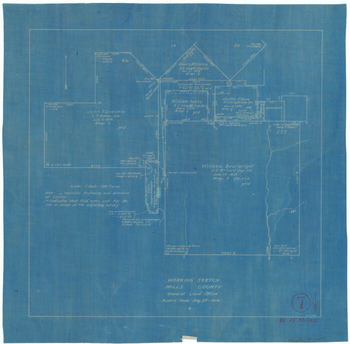

Print $20.00
- Digital $50.00
Mills County Working Sketch 7
1914
Size 12.8 x 13.0 inches
Map/Doc 71037
![91379, [Vicinity of Wilson Strickland Survey], Twichell Survey Records](https://historictexasmaps.com/wmedia_w1800h1800/maps/91379-1.tif.jpg)
