[Caddo Lake Area]
158-1
-
Map/Doc
91389
-
Collection
Twichell Survey Records
-
Object Dates
1918 (Creation Date)
-
Counties
Marion
-
Height x Width
28.4 x 35.3 inches
72.1 x 89.7 cm
Part of: Twichell Survey Records
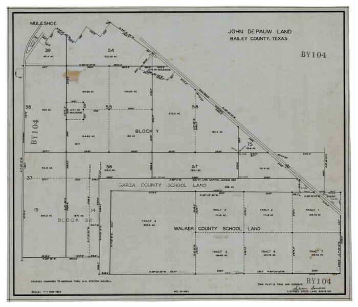
John DePauw Lands

Print $20.00
- Digital $50.00
John DePauw Lands
1954
Size 22.0 x 18.8 inches
Map/Doc 92503
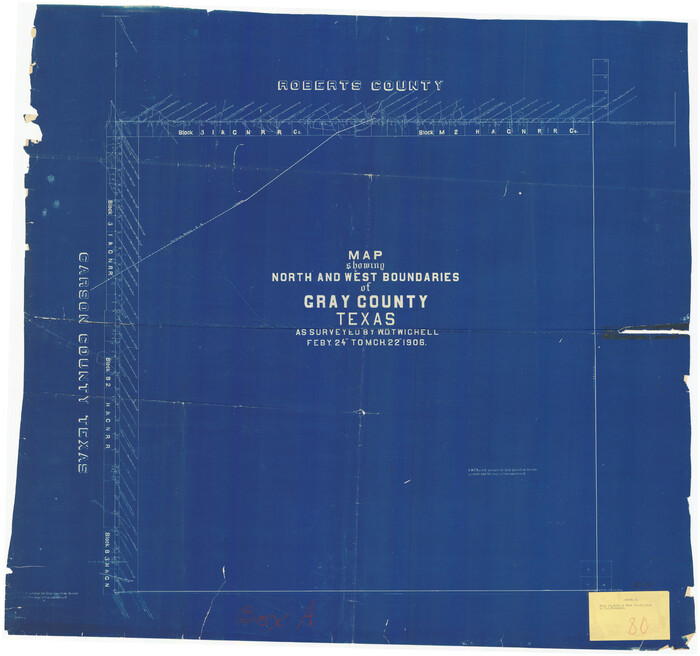
Map Showing North and West Boundaries of Gray County, Texas

Print $20.00
- Digital $50.00
Map Showing North and West Boundaries of Gray County, Texas
1906
Size 42.4 x 38.9 inches
Map/Doc 89942
Sec. 22, Block 103


Print $20.00
- Digital $50.00
Sec. 22, Block 103
Size 13.1 x 14.8 inches
Map/Doc 90120
[Hockley County Sketch, Mineral Application Number 38322- 38379]
![91203, [Hockley County Sketch, Mineral Application Number 38322- 38379], Twichell Survey Records](https://historictexasmaps.com/wmedia_w700/maps/91203-1.tif.jpg)
![91203, [Hockley County Sketch, Mineral Application Number 38322- 38379], Twichell Survey Records](https://historictexasmaps.com/wmedia_w700/maps/91203-1.tif.jpg)
Print $20.00
- Digital $50.00
[Hockley County Sketch, Mineral Application Number 38322- 38379]
1946
Size 43.5 x 26.7 inches
Map/Doc 91203
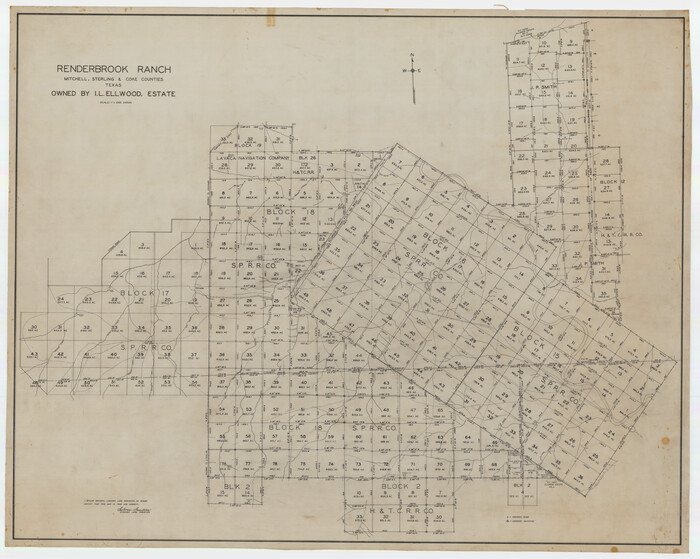
Renderbrook Ranch, Mitchell, Sterling & Coke Counties, Texas Owned by I. L. Ellwood, Estate

Print $40.00
- Digital $50.00
Renderbrook Ranch, Mitchell, Sterling & Coke Counties, Texas Owned by I. L. Ellwood, Estate
Size 50.1 x 40.0 inches
Map/Doc 89873
[Subdivision of Crockett County School Land Lgs. 214-217]
![90108, [Subdivision of Crockett County School Land Lgs. 214-217], Twichell Survey Records](https://historictexasmaps.com/wmedia_w700/maps/90108-1.tif.jpg)
![90108, [Subdivision of Crockett County School Land Lgs. 214-217], Twichell Survey Records](https://historictexasmaps.com/wmedia_w700/maps/90108-1.tif.jpg)
Print $2.00
- Digital $50.00
[Subdivision of Crockett County School Land Lgs. 214-217]
Size 12.1 x 8.3 inches
Map/Doc 90108
[Blk. B, part of Blk. M, and north line of Morris County School Land]
![90359, [Blk. B, part of Blk. M, and north line of Morris County School Land], Twichell Survey Records](https://historictexasmaps.com/wmedia_w700/maps/90359-1.tif.jpg)
![90359, [Blk. B, part of Blk. M, and north line of Morris County School Land], Twichell Survey Records](https://historictexasmaps.com/wmedia_w700/maps/90359-1.tif.jpg)
Print $20.00
- Digital $50.00
[Blk. B, part of Blk. M, and north line of Morris County School Land]
Size 23.9 x 22.7 inches
Map/Doc 90359
[Leagues 464-467 and vicinity]
![91559, [Leagues 464-467 and vicinity], Twichell Survey Records](https://historictexasmaps.com/wmedia_w700/maps/91559-1.tif.jpg)
![91559, [Leagues 464-467 and vicinity], Twichell Survey Records](https://historictexasmaps.com/wmedia_w700/maps/91559-1.tif.jpg)
Print $20.00
- Digital $50.00
[Leagues 464-467 and vicinity]
Size 18.4 x 12.1 inches
Map/Doc 91559
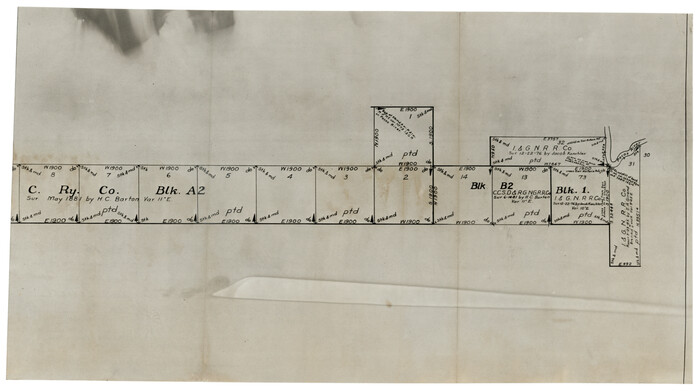
Working Sketch in Terrell County

Print $3.00
- Digital $50.00
Working Sketch in Terrell County
1927
Size 17.1 x 9.5 inches
Map/Doc 92911
[H. & T. C. Block 47 and vicinity]
![91171, [H. & T. C. Block 47 and vicinity], Twichell Survey Records](https://historictexasmaps.com/wmedia_w700/maps/91171-1.tif.jpg)
![91171, [H. & T. C. Block 47 and vicinity], Twichell Survey Records](https://historictexasmaps.com/wmedia_w700/maps/91171-1.tif.jpg)
Print $20.00
- Digital $50.00
[H. & T. C. Block 47 and vicinity]
1891
Size 19.4 x 15.3 inches
Map/Doc 91171
You may also like
[Maps of surveys in Reeves & Culberson Cos]
![61146, [Maps of surveys in Reeves & Culberson Cos], General Map Collection](https://historictexasmaps.com/wmedia_w700/maps/61146.tif.jpg)
![61146, [Maps of surveys in Reeves & Culberson Cos], General Map Collection](https://historictexasmaps.com/wmedia_w700/maps/61146.tif.jpg)
Print $20.00
- Digital $50.00
[Maps of surveys in Reeves & Culberson Cos]
1937
Size 30.8 x 24.9 inches
Map/Doc 61146
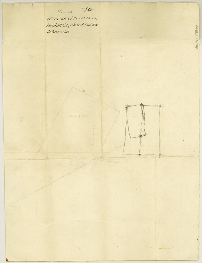
Kerr County Sketch File 10

Print $6.00
- Digital $50.00
Kerr County Sketch File 10
Size 13.9 x 10.6 inches
Map/Doc 28877
Montgomery County Sketch File 39


Print $4.00
- Digital $50.00
Montgomery County Sketch File 39
1941
Size 14.6 x 8.6 inches
Map/Doc 31923
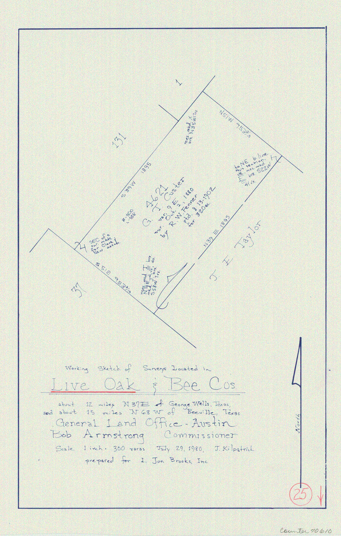
Live Oak County Working Sketch 25

Print $3.00
- Digital $50.00
Live Oak County Working Sketch 25
1980
Size 16.7 x 10.6 inches
Map/Doc 70610
Liberty County Working Sketch 83


Print $40.00
- Digital $50.00
Liberty County Working Sketch 83
1981
Size 68.4 x 37.8 inches
Map/Doc 70543
[Nathaniel H. Cochran Survey and Vicinity]
![91497, [Nathaniel H. Cochran Survey and Vicinity], Twichell Survey Records](https://historictexasmaps.com/wmedia_w700/maps/91497-1.tif.jpg)
![91497, [Nathaniel H. Cochran Survey and Vicinity], Twichell Survey Records](https://historictexasmaps.com/wmedia_w700/maps/91497-1.tif.jpg)
Print $20.00
- Digital $50.00
[Nathaniel H. Cochran Survey and Vicinity]
Size 25.5 x 18.8 inches
Map/Doc 91497
Throckmorton County Working Sketch 8


Print $20.00
- Digital $50.00
Throckmorton County Working Sketch 8
1958
Size 21.6 x 30.4 inches
Map/Doc 62117
Wood County Sketch File 2


Print $4.00
- Digital $50.00
Wood County Sketch File 2
1848
Size 8.3 x 6.4 inches
Map/Doc 40631
Red River County Working Sketch 26
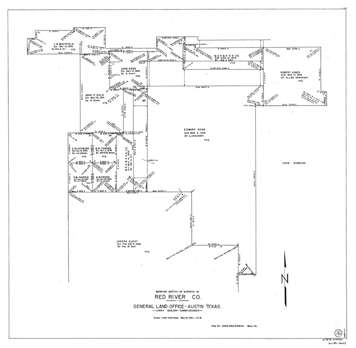

Print $20.00
- Digital $50.00
Red River County Working Sketch 26
1961
Size 30.9 x 31.6 inches
Map/Doc 72009
[Survey 9, Block 9 Potter and Randall]
![91721, [Survey 9, Block 9 Potter and Randall], Twichell Survey Records](https://historictexasmaps.com/wmedia_w700/maps/91721-1.tif.jpg)
![91721, [Survey 9, Block 9 Potter and Randall], Twichell Survey Records](https://historictexasmaps.com/wmedia_w700/maps/91721-1.tif.jpg)
Print $20.00
- Digital $50.00
[Survey 9, Block 9 Potter and Randall]
Size 22.1 x 15.9 inches
Map/Doc 91721
Pecos County Working Sketch 2
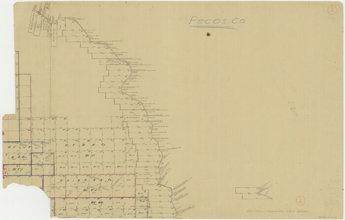

Print $20.00
- Digital $50.00
Pecos County Working Sketch 2
Size 18.1 x 28.3 inches
Map/Doc 71472
![91389, [Caddo Lake Area], Twichell Survey Records](https://historictexasmaps.com/wmedia_w1800h1800/maps/91389-1.tif.jpg)
