Moore County Sketch to Accompany Corrected Field Notes of Sections in Block G. & M. 3]
171-6
-
Map/Doc
91415
-
Collection
Twichell Survey Records
-
Object Dates
11/14/1913 (Creation Date)
-
People and Organizations
W.M. Craven (Surveyor/Engineer)
-
Counties
Moore
-
Height x Width
17.9 x 15.0 inches
45.5 x 38.1 cm
Part of: Twichell Survey Records
[Block 1 and vicinity]
![90703, [Block 1 and vicinity], Twichell Survey Records](https://historictexasmaps.com/wmedia_w700/maps/90703-1.tif.jpg)
![90703, [Block 1 and vicinity], Twichell Survey Records](https://historictexasmaps.com/wmedia_w700/maps/90703-1.tif.jpg)
Print $20.00
- Digital $50.00
[Block 1 and vicinity]
Size 25.3 x 24.1 inches
Map/Doc 90703
Agua Fria Quadrangle


Print $20.00
- Digital $50.00
Agua Fria Quadrangle
1917
Size 17.2 x 21.1 inches
Map/Doc 90136
[Sketch of Survey 152, Block 9]
![93095, [Sketch of Survey 152, Block 9], Twichell Survey Records](https://historictexasmaps.com/wmedia_w700/maps/93095-1.tif.jpg)
![93095, [Sketch of Survey 152, Block 9], Twichell Survey Records](https://historictexasmaps.com/wmedia_w700/maps/93095-1.tif.jpg)
Print $2.00
- Digital $50.00
[Sketch of Survey 152, Block 9]
Size 5.1 x 6.3 inches
Map/Doc 93095
[W. H. Freeman, W. A. Eads, W. M. McKnight, Surveys 18, 19, and 28]
![91084, [W. H. Freeman, W. A. Eads, W. M. McKnight, Surveys 18, 19, and 28], Twichell Survey Records](https://historictexasmaps.com/wmedia_w700/maps/91084-1.tif.jpg)
![91084, [W. H. Freeman, W. A. Eads, W. M. McKnight, Surveys 18, 19, and 28], Twichell Survey Records](https://historictexasmaps.com/wmedia_w700/maps/91084-1.tif.jpg)
Print $20.00
- Digital $50.00
[W. H. Freeman, W. A. Eads, W. M. McKnight, Surveys 18, 19, and 28]
Size 27.3 x 18.6 inches
Map/Doc 91084
[Sketch showing Blocks 2B, 3B, 3T, IT and 2]
![91843, [Sketch showing Blocks 2B, 3B, 3T, IT and 2], Twichell Survey Records](https://historictexasmaps.com/wmedia_w700/maps/91843-1.tif.jpg)
![91843, [Sketch showing Blocks 2B, 3B, 3T, IT and 2], Twichell Survey Records](https://historictexasmaps.com/wmedia_w700/maps/91843-1.tif.jpg)
Print $20.00
- Digital $50.00
[Sketch showing Blocks 2B, 3B, 3T, IT and 2]
1918
Size 32.9 x 30.1 inches
Map/Doc 91843
Sketch from Dawson, Martin and Gaines Co's. (a part of Andrews Co. added)


Print $40.00
- Digital $50.00
Sketch from Dawson, Martin and Gaines Co's. (a part of Andrews Co. added)
1900
Size 45.0 x 50.6 inches
Map/Doc 89781
[Report showing connections and corners made on ground in south part of Yoakum County and north part of Gaines County, Texas]


[Report showing connections and corners made on ground in south part of Yoakum County and north part of Gaines County, Texas]
1938
Size 8.1 x 10.9 inches
Map/Doc 93256
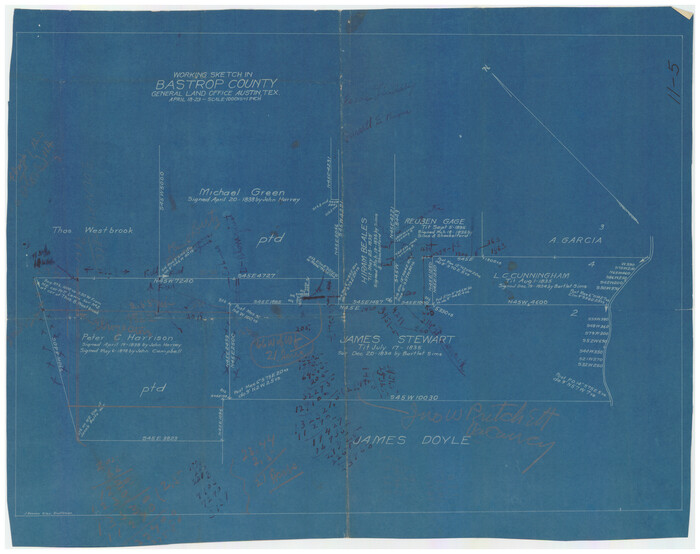
Working Sketch in Bastrop County

Print $20.00
- Digital $50.00
Working Sketch in Bastrop County
1923
Size 18.4 x 14.6 inches
Map/Doc 90203
[Plat showing Blocks Z, Q and D]
![90289, [Plat showing Blocks Z, Q and D], Twichell Survey Records](https://historictexasmaps.com/wmedia_w700/maps/90289-1.tif.jpg)
![90289, [Plat showing Blocks Z, Q and D], Twichell Survey Records](https://historictexasmaps.com/wmedia_w700/maps/90289-1.tif.jpg)
Print $20.00
- Digital $50.00
[Plat showing Blocks Z, Q and D]
Size 15.9 x 21.2 inches
Map/Doc 90289
Map of North Meadow Located on S. Part SE 1/4 Section


Print $20.00
- Digital $50.00
Map of North Meadow Located on S. Part SE 1/4 Section
Size 11.6 x 21.0 inches
Map/Doc 92284
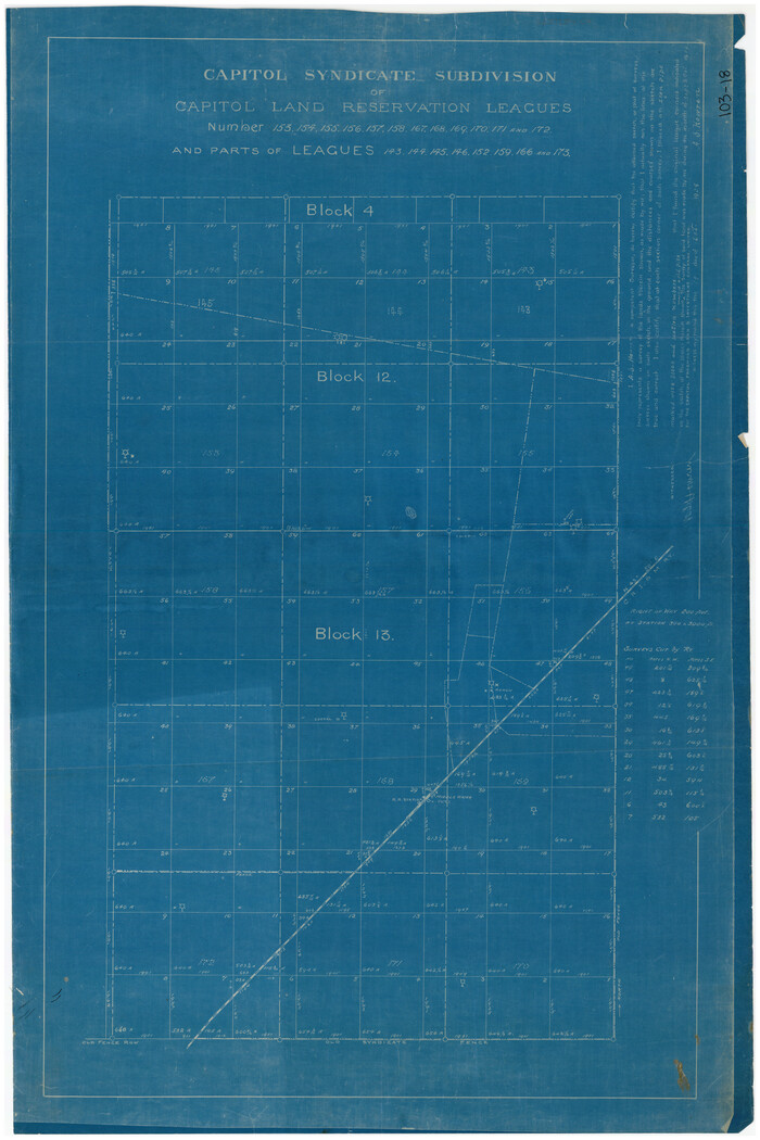
Capitol Syndicate Subdivision of Capitol Land Reservation Leagues Number 153, 154, 155, 156, 157, 158, 167, 168, 169, 170, 171, and 172 and Parts of Leagues 143, 144, 145, 146, 152, 159, 166, and 173

Print $20.00
- Digital $50.00
Capitol Syndicate Subdivision of Capitol Land Reservation Leagues Number 153, 154, 155, 156, 157, 158, 167, 168, 169, 170, 171, and 172 and Parts of Leagues 143, 144, 145, 146, 152, 159, 166, and 173
1908
Size 22.8 x 34.6 inches
Map/Doc 90735
Sketch of H. & T. C. RR. Co. Lands on the Canadian River in Oldham and Wheeler Districts


Print $40.00
- Digital $50.00
Sketch of H. & T. C. RR. Co. Lands on the Canadian River in Oldham and Wheeler Districts
1884
Size 88.9 x 23.8 inches
Map/Doc 93193
You may also like
Flight Mission No. CLL-1N, Frame 188, Willacy County


Print $20.00
- Digital $50.00
Flight Mission No. CLL-1N, Frame 188, Willacy County
1954
Size 18.4 x 22.0 inches
Map/Doc 87058
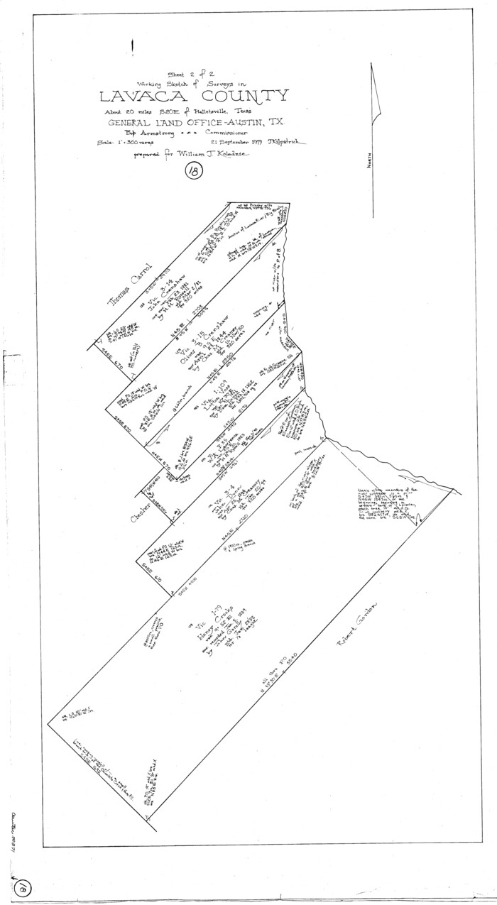
Lavaca County Working Sketch 18

Print $20.00
- Digital $50.00
Lavaca County Working Sketch 18
1979
Size 37.0 x 20.3 inches
Map/Doc 70371
Scurry County Rolled Sketch 12
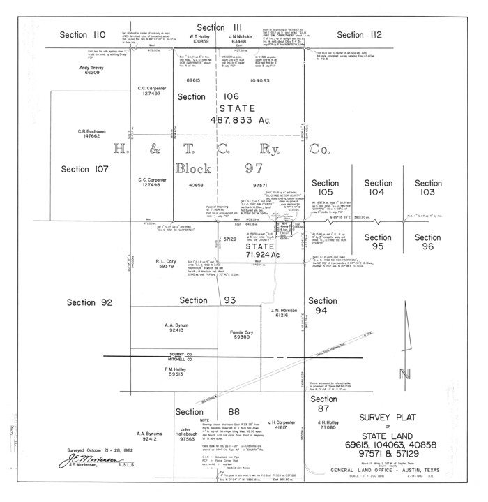

Print $20.00
- Digital $50.00
Scurry County Rolled Sketch 12
1983
Size 27.7 x 27.0 inches
Map/Doc 7772
Flight Mission No. CUG-2P, Frame 24, Kleberg County
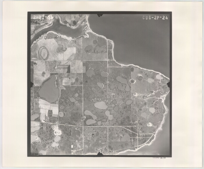

Print $20.00
- Digital $50.00
Flight Mission No. CUG-2P, Frame 24, Kleberg County
1956
Size 18.4 x 22.3 inches
Map/Doc 86188
Madison County Working Sketch 7


Print $20.00
- Digital $50.00
Madison County Working Sketch 7
1982
Size 12.7 x 17.4 inches
Map/Doc 70769
McMullen County Rolled Sketch 15
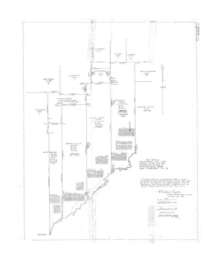

Print $20.00
- Digital $50.00
McMullen County Rolled Sketch 15
1948
Size 30.9 x 25.9 inches
Map/Doc 6732
General Highway Map, Hall County, Texas
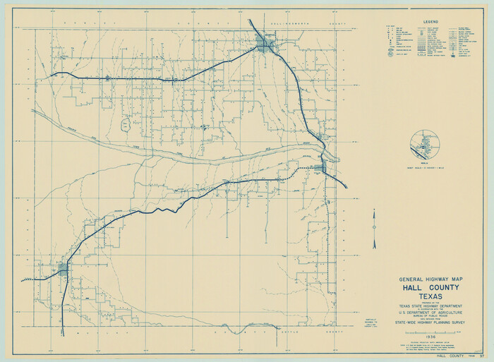

Print $20.00
General Highway Map, Hall County, Texas
1940
Size 18.3 x 25.0 inches
Map/Doc 79110
Blanco County Working Sketch 3

Print $20.00
- Digital $50.00
Blanco County Working Sketch 3
Size 14.4 x 16.1 inches
Map/Doc 78189
Map of Crockett County

Print $40.00
- Digital $50.00
Map of Crockett County
1878
Size 62.5 x 51.1 inches
Map/Doc 93372
Saline Ranch in Mason, Kimble and Menard Counties


Print $20.00
- Digital $50.00
Saline Ranch in Mason, Kimble and Menard Counties
1916
Size 28.2 x 27.1 inches
Map/Doc 75807
Leon County Working Sketch 1

Print $20.00
- Digital $50.00
Leon County Working Sketch 1
Size 16.1 x 18.7 inches
Map/Doc 70400
![91415, Moore County Sketch to Accompany Corrected Field Notes of Sections in Block G. & M. 3], Twichell Survey Records](https://historictexasmaps.com/wmedia_w1800h1800/maps/91415-1.tif.jpg)
