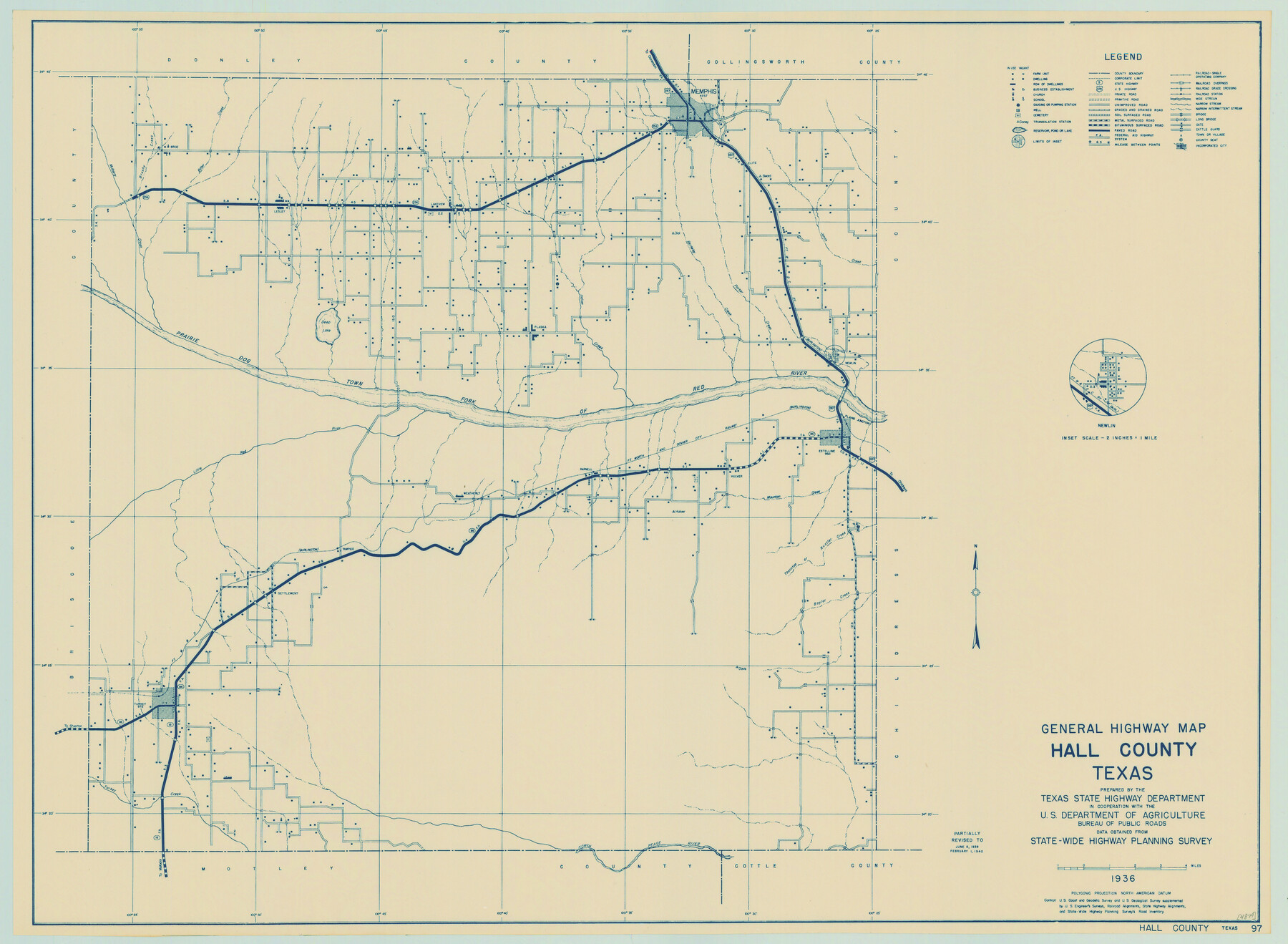
General Highway Map, Hall County, Texas
-
Map/Doc
79110
-
Collection
Texas State Library and Archives
-
Object Dates
1940 (Creation Date)
-
People and Organizations
Texas State Highway Department (Publisher)
-
Counties
Hall
-
Subjects
County
-
Height x Width
18.3 x 25.0 inches
46.5 x 63.5 cm
-
Comments
Prints available courtesy of the Texas State Library and Archives.
More info can be found here: TSLAC Map 04879
Part of: Texas State Library and Archives
General Highway Map, Kleberg County, Texas

Print $20.00
General Highway Map, Kleberg County, Texas
1940
Size 24.7 x 18.2 inches
Map/Doc 79164
General Highway Map, Baylor County, Texas

Print $20.00
General Highway Map, Baylor County, Texas
1940
Size 18.3 x 25.1 inches
Map/Doc 79013
General Highway Map, Hidalgo County, Texas

Print $20.00
General Highway Map, Hidalgo County, Texas
1940
Size 18.4 x 25.0 inches
Map/Doc 79128

Oil and Gas Fields in the State of Texas

Print $40.00
Oil and Gas Fields in the State of Texas
1927
Size 58.0 x 38.0 inches
Map/Doc 76304
General Highway Map, Kimble County, Texas

Print $20.00
General Highway Map, Kimble County, Texas
1961
Size 24.6 x 18.2 inches
Map/Doc 79553
General Highway Map, Foard County, Texas

Print $20.00
General Highway Map, Foard County, Texas
1940
Size 18.6 x 25.2 inches
Map/Doc 79092
[General Highway Map Supplementary Sheet Showing Detail of Cities and Towns in Bexar County Texas]
![76289, [General Highway Map Supplementary Sheet Showing Detail of Cities and Towns in Bexar County Texas], Texas State Library and Archives](https://historictexasmaps.com/wmedia_w700/maps/76289.tif.jpg)
Print $20.00
[General Highway Map Supplementary Sheet Showing Detail of Cities and Towns in Bexar County Texas]
1936
Size 18.7 x 24.9 inches
Map/Doc 76289

Map of Texas with Parts of the Adjoining States

Print $20.00
Map of Texas with Parts of the Adjoining States
1833
Size 29.3 x 23.3 inches
Map/Doc 79740
General Highway Map, Culberson County, Texas

Print $20.00
General Highway Map, Culberson County, Texas
1961
Size 24.9 x 18.2 inches
Map/Doc 79427
General Highway Map. Detail of Cities and Towns in Harris County, Texas. City Map [of] Houston, Pasadena, West University Place, Bellaire, Galena Park, Jacinto City, South Houston, South Side Place, Deer Park, and vicinity, Harris County, Texas
![79506, General Highway Map. Detail of Cities and Towns in Harris County, Texas. City Map [of] Houston, Pasadena, West University Place, Bellaire, Galena Park, Jacinto City, South Houston, South Side Place, Deer Park, and vicinity, Harris County, Texas, Texas State Library and Archives](https://historictexasmaps.com/wmedia_w700/maps/79506.tif.jpg)
Print $20.00
General Highway Map. Detail of Cities and Towns in Harris County, Texas. City Map [of] Houston, Pasadena, West University Place, Bellaire, Galena Park, Jacinto City, South Houston, South Side Place, Deer Park, and vicinity, Harris County, Texas
1961
Size 18.0 x 24.9 inches
Map/Doc 79506
You may also like
Angelina County Sketch File 23a

Print $4.00
- Digital $50.00
Angelina County Sketch File 23a
1904
Size 11.2 x 8.6 inches
Map/Doc 13063
Van Zandt County Sketch File 33

Print $8.00
- Digital $50.00
Van Zandt County Sketch File 33
1860
Size 12.4 x 7.8 inches
Map/Doc 39469
Starr County Working Sketch 19

Print $20.00
- Digital $50.00
Starr County Working Sketch 19
1982
Size 27.3 x 33.9 inches
Map/Doc 63935
Stephens County Sketch File 16

Print $40.00
- Digital $50.00
Stephens County Sketch File 16
Size 38.2 x 72.1 inches
Map/Doc 10608
[Hockley, Lubbock, Terry and Lynn Corner]
![92954, [Hockley, Lubbock, Terry and Lynn Corner], Twichell Survey Records](https://historictexasmaps.com/wmedia_w700/maps/92954-1.tif.jpg)
Print $20.00
- Digital $50.00
[Hockley, Lubbock, Terry and Lynn Corner]
Size 24.5 x 18.9 inches
Map/Doc 92954
Flight Mission No. BQY-14M, Frame 184, Harris County

Print $20.00
- Digital $50.00
Flight Mission No. BQY-14M, Frame 184, Harris County
1953
Size 18.6 x 22.4 inches
Map/Doc 85300
Flight Mission No. BQY-4M, Frame 68, Harris County

Print $20.00
- Digital $50.00
Flight Mission No. BQY-4M, Frame 68, Harris County
1953
Size 18.6 x 22.4 inches
Map/Doc 85277
Township No. 5 South Range No. 12 West of the Indian Meridian

Print $4.00
- Digital $50.00
Township No. 5 South Range No. 12 West of the Indian Meridian
1875
Size 18.1 x 22.6 inches
Map/Doc 75159
El Paso County Rolled Sketch 46

Print $20.00
- Digital $50.00
El Paso County Rolled Sketch 46
1937
Size 38.6 x 30.3 inches
Map/Doc 5832
Briscoe County Rolled Sketch 14B

Print $20.00
- Digital $50.00
Briscoe County Rolled Sketch 14B
1929
Size 32.6 x 37.3 inches
Map/Doc 8531
Concho County Sketch File 36

Print $20.00
- Digital $50.00
Concho County Sketch File 36
1938
Size 17.9 x 18.6 inches
Map/Doc 11161
Newton County Boundary File 1

Print $4.00
- Digital $50.00
Newton County Boundary File 1
Size 14.3 x 8.8 inches
Map/Doc 57614