
Hall County Sketch File 6
1885
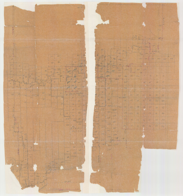
Hall County Sketch File 12

Hardeman County Sketch File 1

Briscoe County Sketch File 4

Briscoe County Sketch File 6

Briscoe County Sketch File D
1918

Briscoe County Sketch File G
1918
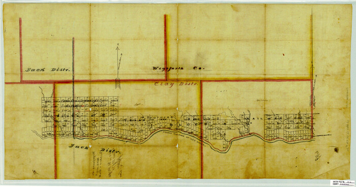
Childress County Sketch File 2a
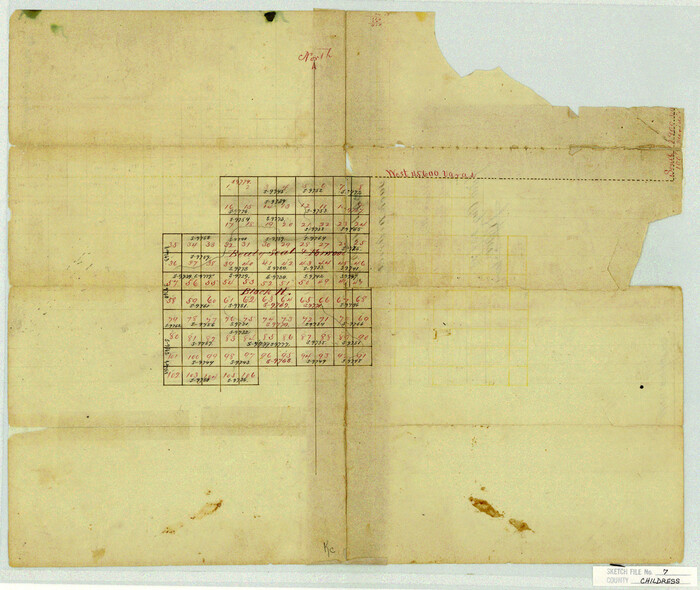
Childress County Sketch File 7
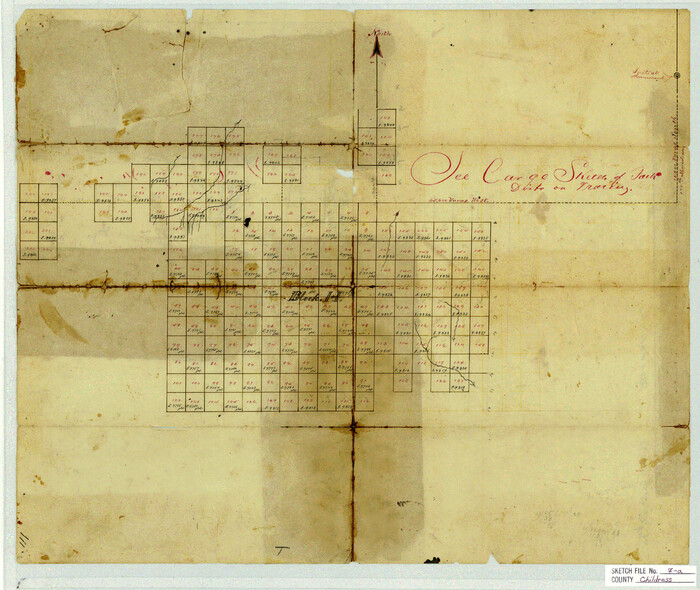
Childress County Sketch File 7a
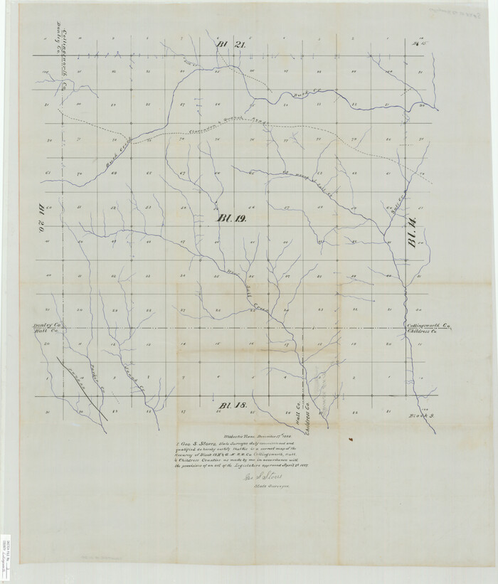
Collingsworth County Sketch File 3
1888
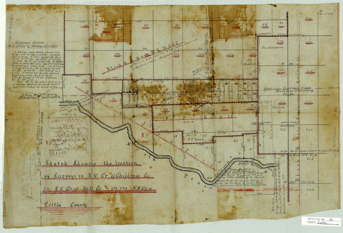
Cottle County Sketch File 10

Hall County Sketch File 5
1884

Hall County Sketch File 7
1890
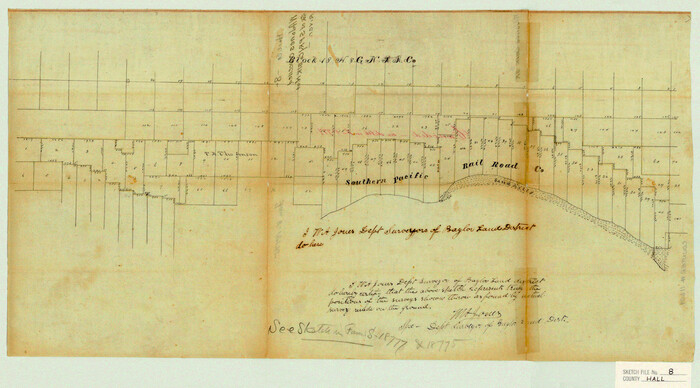
Hall County Sketch File 8

Hall County Sketch File 10
1884

Hall County Sketch File 13
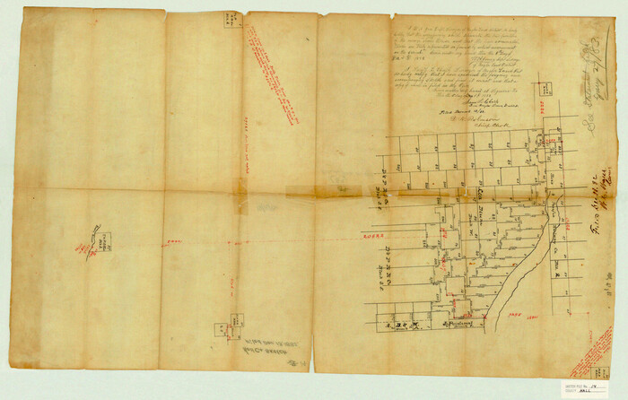
Hall County Sketch File 14
1882
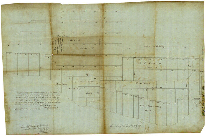
Hall County Sketch File 16
1892

Hall County Sketch File 18
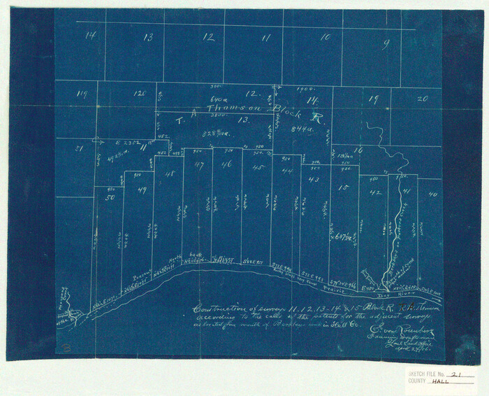
Hall County Sketch File 21
1906

Hall County Sketch File 28
1913
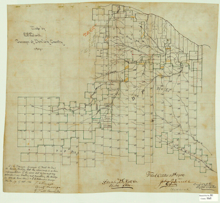
Hall County Sketch File B1
1904

Hall County Sketch File B2
1904

Hall County Sketch File C
1905

Hardeman County Sketch File 8a

Map of Hall County
1900

Childress County Sketch File 3
1885
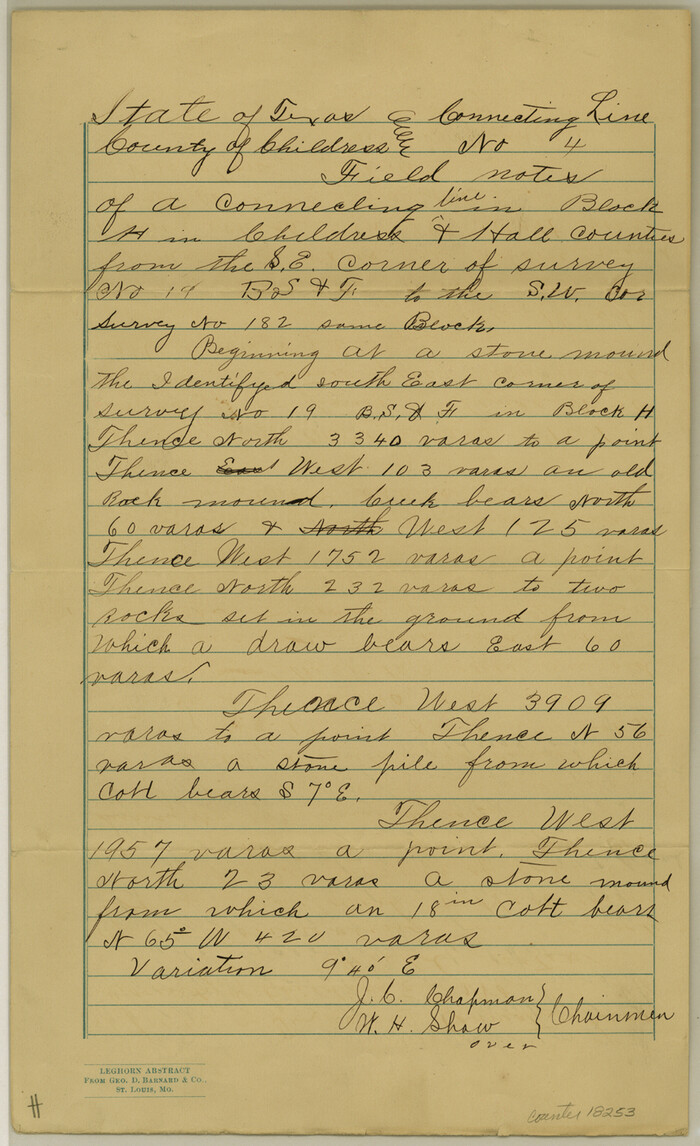
Childress County Sketch File 11

Hall County Sketch File 6
1885
-
Size
28.2 x 37.9 inches
-
Map/Doc
10473
-
Creation Date
1885

Hall County Sketch File 12
-
Size
31.9 x 35.5 inches
-
Map/Doc
10474

Hardeman County Sketch File 1
-
Size
31.0 x 45.7 inches
-
Map/Doc
10477

Briscoe County Sketch File 4
-
Size
26.0 x 33.5 inches
-
Map/Doc
10993

Briscoe County Sketch File 6
-
Size
29.8 x 24.6 inches
-
Map/Doc
10995

Briscoe County Sketch File D
1918
-
Size
25.8 x 22.9 inches
-
Map/Doc
11001
-
Creation Date
1918

Briscoe County Sketch File G
1918
-
Size
17.7 x 22.4 inches
-
Map/Doc
11004
-
Creation Date
1918

Childress County Sketch File 2a
-
Size
18.3 x 34.8 inches
-
Map/Doc
11077

Childress County Sketch File 7
-
Size
14.9 x 17.6 inches
-
Map/Doc
11079

Childress County Sketch File 7a
-
Size
14.9 x 17.7 inches
-
Map/Doc
11080

Collingsworth County Sketch File 3
1888
-
Size
32.5 x 27.7 inches
-
Map/Doc
11130
-
Creation Date
1888

Cottle County Sketch File 10
-
Size
15.7 x 23.1 inches
-
Map/Doc
11193

Hall County Sketch File 5
1884
-
Size
18.9 x 24.1 inches
-
Map/Doc
11602
-
Creation Date
1884

Hall County Sketch File 7
1890
-
Size
12.0 x 22.4 inches
-
Map/Doc
11603
-
Creation Date
1890

Hall County Sketch File 8
-
Size
12.8 x 23.1 inches
-
Map/Doc
11604

Hall County Sketch File 10
1884
-
Size
19.6 x 22.1 inches
-
Map/Doc
11605
-
Creation Date
1884

Hall County Sketch File 13
-
Size
15.7 x 24.2 inches
-
Map/Doc
11606

Hall County Sketch File 14
1882
-
Size
20.9 x 32.9 inches
-
Map/Doc
11607
-
Creation Date
1882

Hall County Sketch File 16
1892
-
Size
24.0 x 35.5 inches
-
Map/Doc
11608
-
Creation Date
1892

Hall County Sketch File 18
-
Size
16.8 x 35.1 inches
-
Map/Doc
11609

Hall County Sketch File 21
1906
-
Size
12.8 x 15.8 inches
-
Map/Doc
11610
-
Creation Date
1906

Hall County Sketch File 28
1913
-
Size
18.0 x 21.5 inches
-
Map/Doc
11611
-
Creation Date
1913

Hall County Sketch File B1
1904
-
Size
23.4 x 25.4 inches
-
Map/Doc
11612
-
Creation Date
1904

Hall County Sketch File B2
1904
-
Size
21.7 x 35.1 inches
-
Map/Doc
11613
-
Creation Date
1904

Hall County Sketch File C
1905
-
Size
13.7 x 32.8 inches
-
Map/Doc
11614
-
Creation Date
1905

Hardeman County Sketch File 8a
-
Size
16.0 x 32.0 inches
-
Map/Doc
11623

Map of Hall County
1900
-
Size
41.2 x 41.3 inches
-
Map/Doc
16842
-
Creation Date
1900

Hall County
1902
-
Size
43.4 x 39.0 inches
-
Map/Doc
16843
-
Creation Date
1902

Childress County Sketch File 3
1885
-
Size
14.1 x 8.6 inches
-
Map/Doc
18245
-
Creation Date
1885

Childress County Sketch File 11
-
Size
14.0 x 8.6 inches
-
Map/Doc
18253