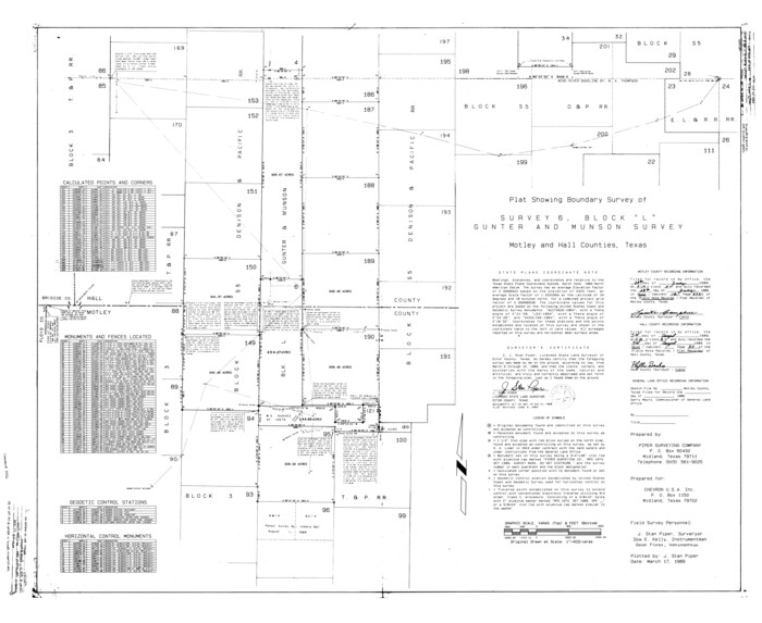
Motley County Rolled Sketch 1
1989
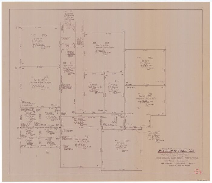
Motley County Working Sketch 11
1989
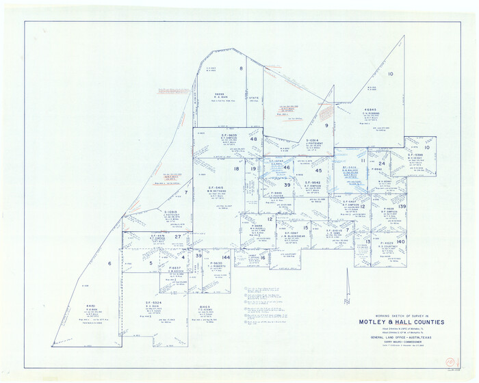
Hall County Working Sketch 10
1983
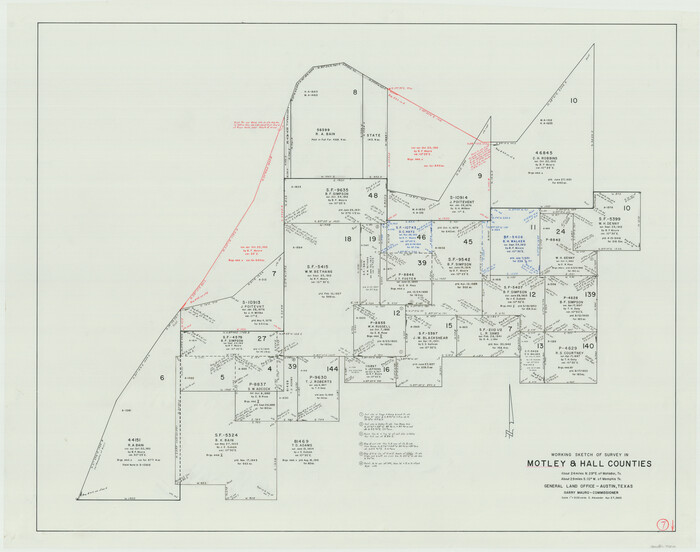
Motley County Working Sketch 7
1983

Hall County Working Sketch Graphic Index
1972
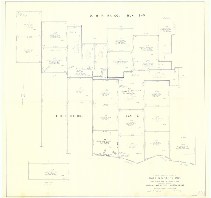
Hall County Working Sketch 9
1972
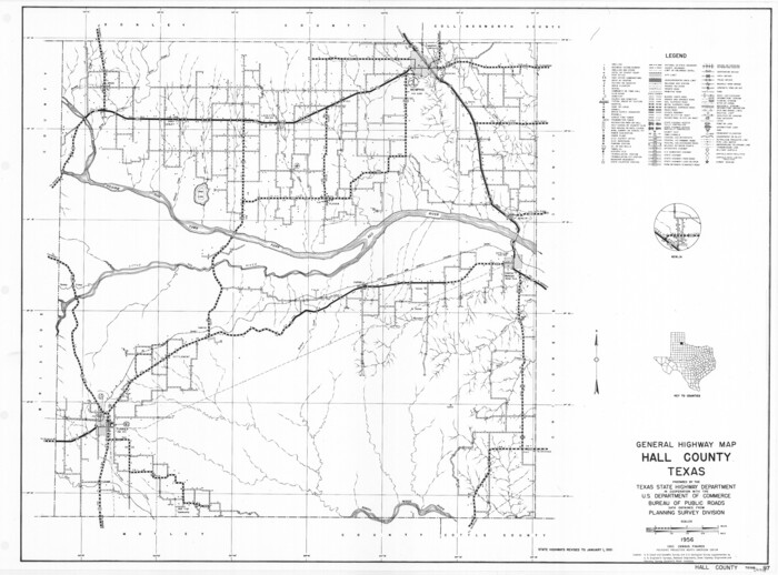
General Highway Map, Hall County, Texas
1961
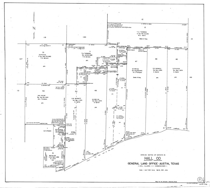
Hall County Working Sketch 8
1959
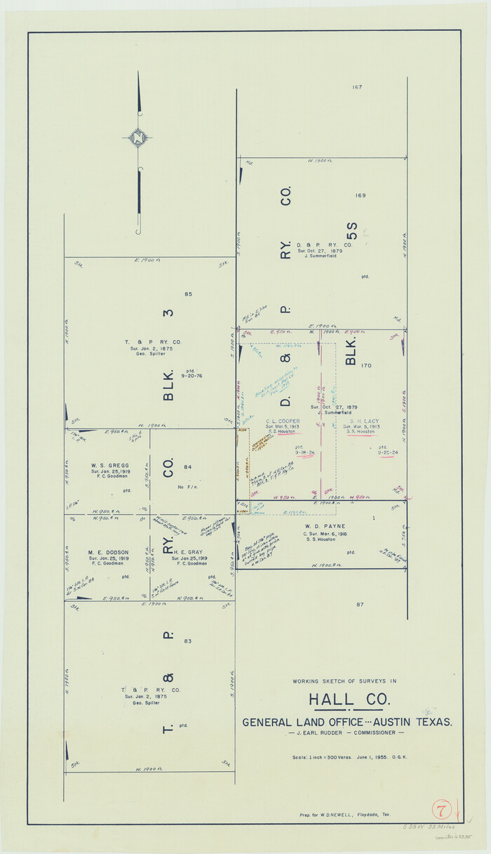
Hall County Working Sketch 7
1955

Hall County Working Sketch 6
1954
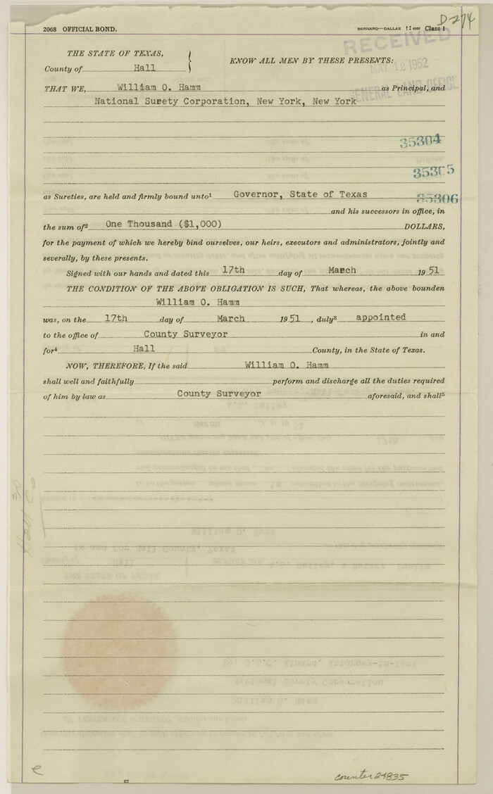
Hall County Sketch File 31
1951
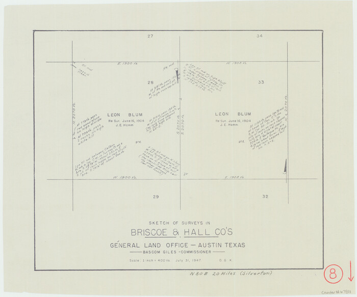
Briscoe County Working Sketch 8
1947
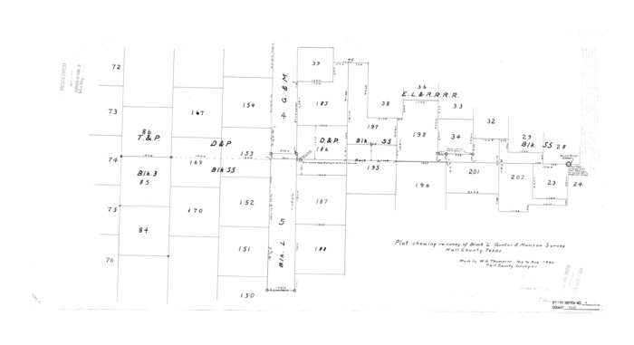
Hall County Rolled Sketch 9
1946

Hall County Sketch File 30
1942

Hall County Rolled Sketch 8
1942
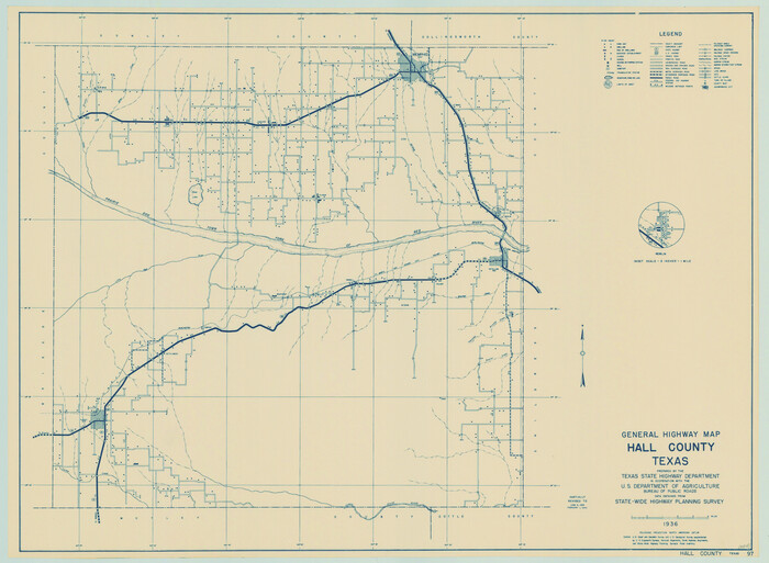
General Highway Map, Hall County, Texas
1940
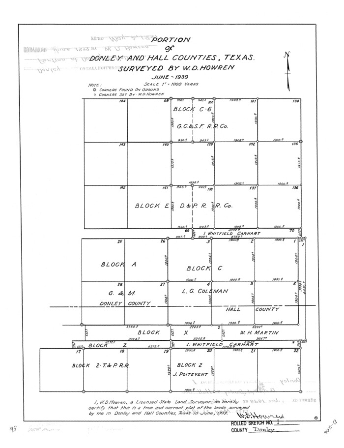
Donley County Rolled Sketch 1
1939
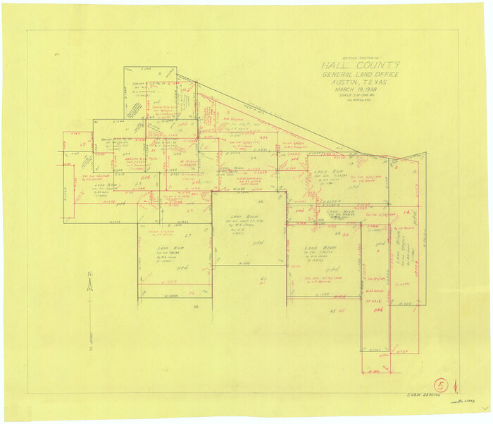
Hall County Working Sketch 5
1938

Cottle County Sketch File F
1935

Briscoe County Rolled Sketch 14B
1929
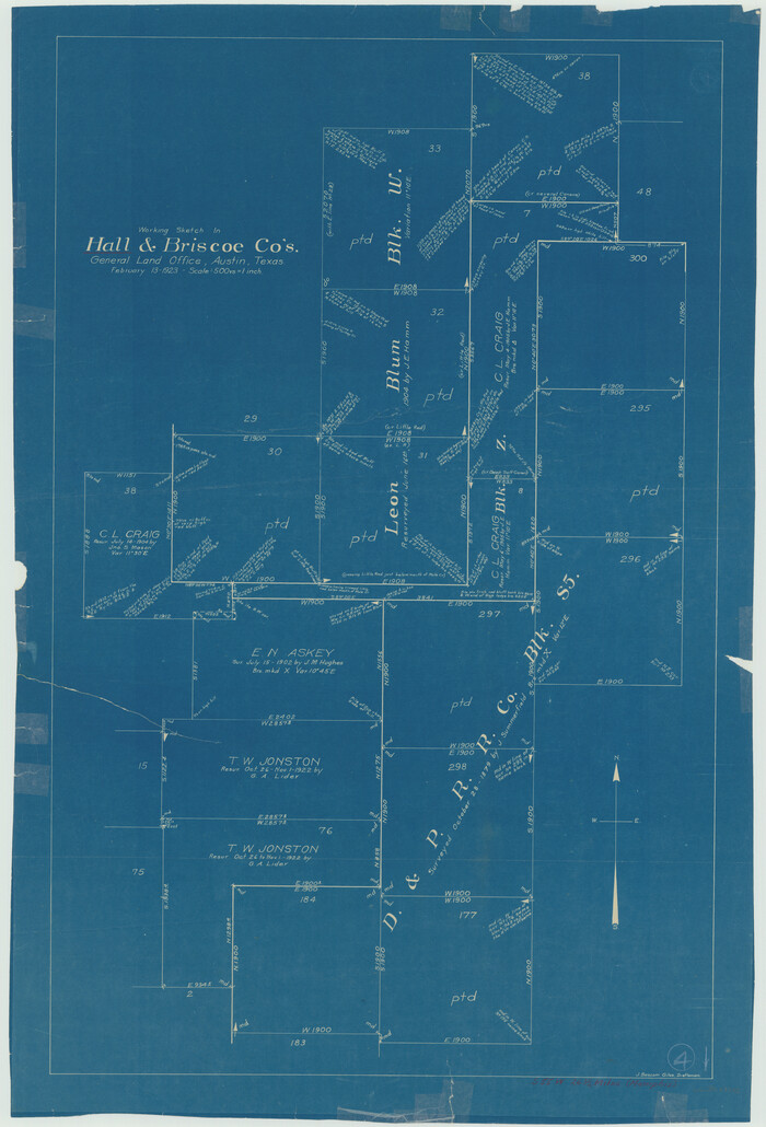
Hall County Working Sketch 4
1923

Briscoe County Sketch File G
1918

Briscoe County Sketch File D
1918

Hall County Working Sketch 3
1916

Donley County Working Sketch 2
1916

Motley County Rolled Sketch 1
1989
-
Size
39.0 x 47.6 inches
-
Map/Doc
9552
-
Creation Date
1989

Motley County Working Sketch 11
1989
-
Size
28.5 x 33.0 inches
-
Map/Doc
71216
-
Creation Date
1989

Hall County Working Sketch 10
1983
-
Size
34.3 x 42.9 inches
-
Map/Doc
63338
-
Creation Date
1983

Motley County Working Sketch 7
1983
-
Size
33.8 x 42.8 inches
-
Map/Doc
71212
-
Creation Date
1983
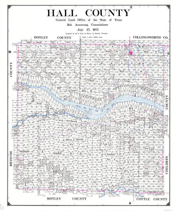
Hall County
1972
-
Size
41.7 x 35.6 inches
-
Map/Doc
73167
-
Creation Date
1972
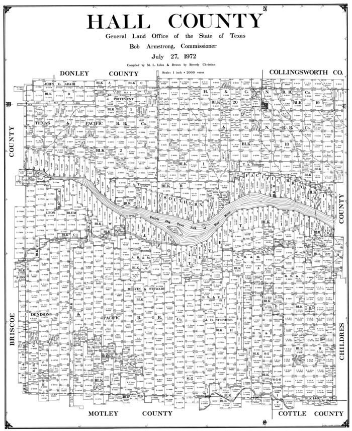
Hall County
1972
-
Size
40.0 x 32.7 inches
-
Map/Doc
77299
-
Creation Date
1972

Hall County
1972
-
Size
43.1 x 36.6 inches
-
Map/Doc
95517
-
Creation Date
1972

Hall County Working Sketch Graphic Index
1972
-
Size
41.7 x 33.7 inches
-
Map/Doc
76563
-
Creation Date
1972

Hall County Working Sketch 9
1972
-
Size
36.9 x 39.4 inches
-
Map/Doc
63337
-
Creation Date
1972

General Highway Map, Hall County, Texas
1961
-
Size
18.2 x 24.6 inches
-
Map/Doc
79495
-
Creation Date
1961

Hall County Working Sketch 8
1959
-
Size
29.4 x 32.8 inches
-
Map/Doc
63336
-
Creation Date
1959

Hall County Working Sketch 7
1955
-
Size
31.6 x 18.2 inches
-
Map/Doc
63335
-
Creation Date
1955

Hall County Working Sketch 6
1954
-
Size
21.8 x 21.6 inches
-
Map/Doc
63334
-
Creation Date
1954

Hall County Sketch File 31
1951
-
Size
14.3 x 8.9 inches
-
Map/Doc
24835
-
Creation Date
1951

Briscoe County Working Sketch 8
1947
-
Size
13.2 x 15.8 inches
-
Map/Doc
67811
-
Creation Date
1947

Hall County Rolled Sketch 9
1946
-
Size
22.0 x 40.4 inches
-
Map/Doc
6053
-
Creation Date
1946

Hall County Sketch File 30
1942
-
Size
11.3 x 8.9 inches
-
Map/Doc
24832
-
Creation Date
1942

Hall County Rolled Sketch 8
1942
-
Size
24.7 x 41.6 inches
-
Map/Doc
6052
-
Creation Date
1942

General Highway Map, Hall County, Texas
1940
-
Size
18.3 x 25.0 inches
-
Map/Doc
79110
-
Creation Date
1940

Donley County Rolled Sketch 1
1939
-
Size
19.6 x 15.1 inches
-
Map/Doc
5728
-
Creation Date
1939

Hall County Working Sketch 5
1938
-
Size
21.7 x 25.2 inches
-
Map/Doc
63333
-
Creation Date
1938

Cottle County Sketch File F
1935
-
Size
11.5 x 8.8 inches
-
Map/Doc
19444
-
Creation Date
1935

Briscoe County Rolled Sketch 14B
1929
-
Size
32.6 x 37.3 inches
-
Map/Doc
8531
-
Creation Date
1929

Hall County Working Sketch 4
1923
-
Size
29.0 x 19.7 inches
-
Map/Doc
63332
-
Creation Date
1923

Briscoe County Sketch File G
1918
-
Size
17.7 x 22.4 inches
-
Map/Doc
11004
-
Creation Date
1918

Briscoe County Sketch File D
1918
-
Size
25.8 x 22.9 inches
-
Map/Doc
11001
-
Creation Date
1918

Hall County
1916
-
Size
43.7 x 36.2 inches
-
Map/Doc
4694
-
Creation Date
1916
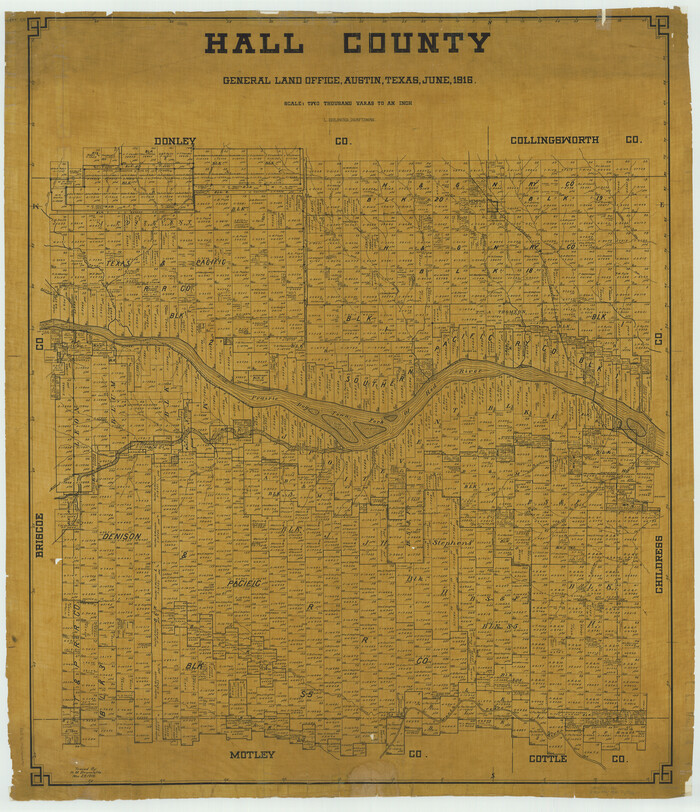
Hall County
1916
-
Size
43.0 x 37.0 inches
-
Map/Doc
66848
-
Creation Date
1916

Hall County Working Sketch 3
1916
-
Size
15.6 x 17.1 inches
-
Map/Doc
63331
-
Creation Date
1916

Donley County Working Sketch 2
1916
-
Size
15.2 x 17.1 inches
-
Map/Doc
68735
-
Creation Date
1916