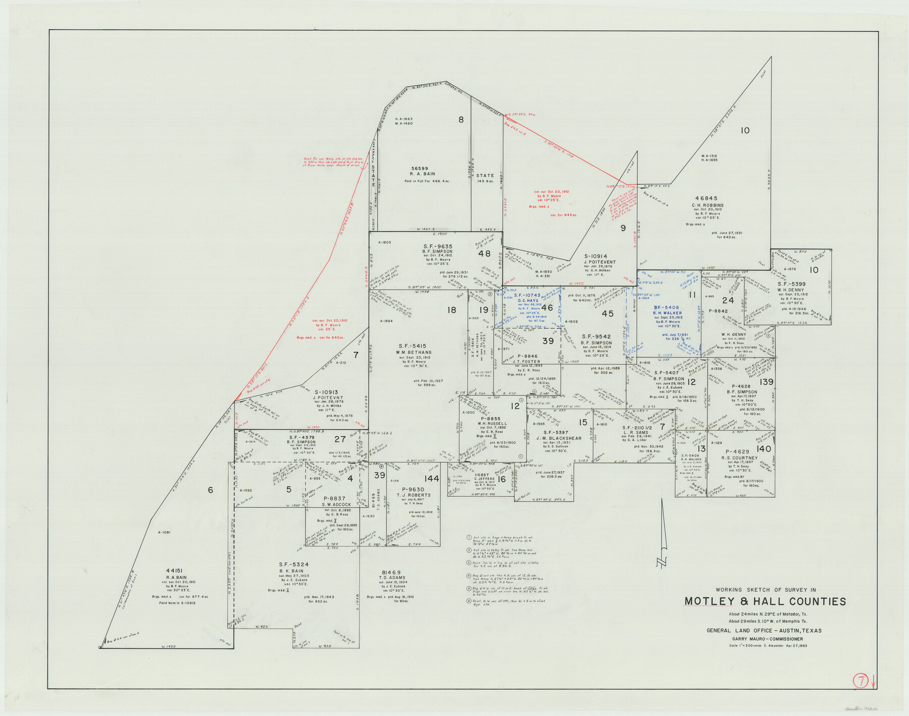
Motley County Working Sketch 7
-
Map/Doc
71212
-
Collection
General Map Collection
-
Object Dates
4/27/1983 (Creation Date)
-
People and Organizations
Earl Alexander (Draftsman)
-
Counties
Motley Hall
-
Subjects
Surveying Working Sketch
-
Height x Width
33.8 x 42.8 inches
85.9 x 108.7 cm
-
Scale
1" = 300 varas
Part of: General Map Collection
Texas Intracoastal Waterway - Laguna Madre - Rincon de San Jose to Chubby Island

Print $20.00
- Digital $50.00
Texas Intracoastal Waterway - Laguna Madre - Rincon de San Jose to Chubby Island
1957
Size 38.9 x 27.3 inches
Map/Doc 73513
Orange County Working Sketch 15

Print $20.00
- Digital $50.00
Orange County Working Sketch 15
1928
Size 19.3 x 24.6 inches
Map/Doc 71347
El Paso County Working Sketch 1

Print $40.00
- Digital $50.00
El Paso County Working Sketch 1
1911
Size 25.4 x 90.6 inches
Map/Doc 69022
DeWitt County Sketch File 8

Print $4.00
- Digital $50.00
DeWitt County Sketch File 8
1876
Size 8.5 x 5.2 inches
Map/Doc 20818

Hudspeth County Working Sketch 49

Print $20.00
- Digital $50.00
Hudspeth County Working Sketch 49
1984
Size 29.8 x 28.1 inches
Map/Doc 66334
Aransas County Rolled Sketch 25

Print $20.00
- Digital $50.00
Aransas County Rolled Sketch 25
1983
Size 18.4 x 24.5 inches
Map/Doc 5061
Shelby County Sketch File 6

Print $8.00
- Digital $50.00
Shelby County Sketch File 6
1854
Size 12.4 x 8.2 inches
Map/Doc 36601
Concho County Sketch File 38

Print $4.00
- Digital $50.00
Concho County Sketch File 38
1938
Size 14.6 x 9.0 inches
Map/Doc 19188

Flight Mission No. CRE-1R, Frame 195, Jackson County

Print $20.00
- Digital $50.00
Flight Mission No. CRE-1R, Frame 195, Jackson County
1956
Size 18.6 x 22.3 inches
Map/Doc 85349
Map of Texas and New Orleans R.R. or Sabine and Galveston Bay Rail Road

Print $40.00
- Digital $50.00
Map of Texas and New Orleans R.R. or Sabine and Galveston Bay Rail Road
1859
Size 17.0 x 59.1 inches
Map/Doc 64091
You may also like
Topographical Map of the Rio Grande, Sheet No. 1

Print $20.00
- Digital $50.00
Topographical Map of the Rio Grande, Sheet No. 1
1912
Map/Doc 89525
Grayson County Sketch File 18

Print $6.00
- Digital $50.00
Grayson County Sketch File 18
1859
Size 12.2 x 7.9 inches
Map/Doc 24487
Galveston County Sketch File 16

Print $6.00
- Digital $50.00
Galveston County Sketch File 16
Size 7.8 x 6.3 inches
Map/Doc 23384
Houston County Sketch File 13

Print $6.00
- Digital $50.00
Houston County Sketch File 13
Size 9.0 x 7.8 inches
Map/Doc 26775
Flight Mission No. CLL-3N, Frame 9, Willacy County

Print $20.00
- Digital $50.00
Flight Mission No. CLL-3N, Frame 9, Willacy County
1954
Size 18.5 x 22.3 inches
Map/Doc 87075
Map of the Mexican National Railway showing the lines granted by the Mexican Government to the Mexican National Construction Company (Palmer-Sullivan Concession)

Print $20.00
Map of the Mexican National Railway showing the lines granted by the Mexican Government to the Mexican National Construction Company (Palmer-Sullivan Concession)
1881
Size 26.8 x 40.6 inches
Map/Doc 95315
San Saba County Working Sketch 10

Print $40.00
- Digital $50.00
San Saba County Working Sketch 10
1985
Size 33.4 x 52.9 inches
Map/Doc 63798
Falls County Rolled Sketch 1

Print $73.00
- Digital $50.00
Falls County Rolled Sketch 1
1934
Size 10.6 x 15.1 inches
Map/Doc 44540
Frio County Rolled Sketch 28

Print $20.00
- Digital $50.00
Frio County Rolled Sketch 28
2014
Size 36.3 x 24.7 inches
Map/Doc 97420
Hopkins County

Print $20.00
- Digital $50.00
Hopkins County
1942
Size 43.6 x 41.6 inches
Map/Doc 1858
Collin County Sketch File 3

Print $20.00
- Digital $50.00
Collin County Sketch File 3
1852
Size 19.5 x 21.4 inches
Map/Doc 11126
Castro County

Print $20.00
- Digital $50.00
Castro County
1932
Size 39.2 x 34.4 inches
Map/Doc 77234